Río Desaguadero
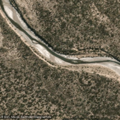
Río Desaguadero
- Boat Ramps
- 0
- Access Points
- 0
- Species
- 0
The Río Desaguadero is one of Argentina's most significant river systems, stretching an impressive 1,498 kilometers (931 miles) through the arid heartland of west-central Argentina. Rising near the Tipas volcano in La Rioja at approximately 5,500 meters (18,000 feet) elevation, the river flows southward through San Luis Province before ultimately joining the Colorado River in La Pampa Province near Pichi Mahuida. With a drainage basin of roughly 260,000 square kilometers, this is a vast and geographically diverse waterway that transitions through dramatically different landscapes along its course. In its upper reaches the river is known locally as the Bermejo or Vinchina, while in its lower stretches it takes on the name Salado — a nod to the increasing salinity that characterizes the lower portions of the system. The river's passage through San Luis Province represents a particularly interesting stretch for anglers, where the interplay of semi-arid terrain, variable flows, and a mixed fish community creates a unique fishing environment unlike the more celebrated Patagonian rivers to the south.
Species & education
Learn what type of fish are at Río Desaguadero and what's needed to catch them.
No species information available.
Fishing spots, boat ramps & amenities
Learn how to get on Río Desaguadero. Uncover great fishing access points, boat ramps, and all the facilities you need for an unforgettable day on the water. Some locations shown may border or include private property. Always check property boundaries and applicable regulations before visiting. onWater's Public & Private Land layer can help you plan your access with confidence.
Know where you can legally fish on Río Desaguadero
See public and private land boundaries along the water, turn on private parcels with owner details to know where permission is required, and find land-trust parcels that offer permitted fishing access.
Mendoza licenses and regulations

Mendoza Boating Regulations
Boating in Argentina is regulated nationally by the Prefectura Naval Argentina, not by the province - covering recreational-vessel registration, the boat-operator licence (habilitacion nautica), and navigation safety.

Mendoza Fishing License
Official Mendoza page on the Carnet de Pesca Deportiva, issued by the Direccion de Recursos Naturales Renovables; mandatory every outing, also buyable online via the provincial Ciudadano Digital (CiDi) platform.

Mendoza Fishing Regulations
Official Mendoza page on the regulation of the current sport-fishing season: seasons, bag limits, enabled waters, Didymo-prevention disinfection rules, and the El Carrizal veda.

Mendoza Stream Access Laws
No distinct stream-access page; access follows general civil/water law. The annual fishing-season regulation, which defines permitted waters and restricted zones, is the closest official source.
Take Río Desaguadero with you
The onWater Fish app keeps this water's access points, species and conditions in your pocket, with the tools you use once you're there.
Use the map without signal
Download the map around Río Desaguadero to use it offline when coverage drops.
Log your catches here
Keep a private fishing journal for Río Desaguadero to find where and when fish are biting for you.
Get the onWater Fish app
Free on iOS and Android
Water and weather conditions (10 day forecast)
See the best times to fish Río Desaguadero and check the forecast before you go.
No forecast data available.
Fishing near Río Desaguadero
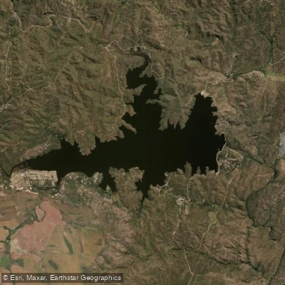
Embalse La Florida
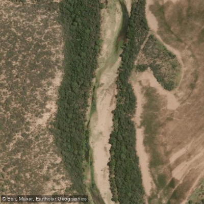
Río Quinto
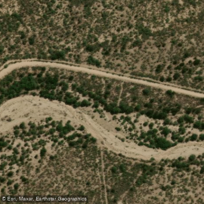
Río Nogolí
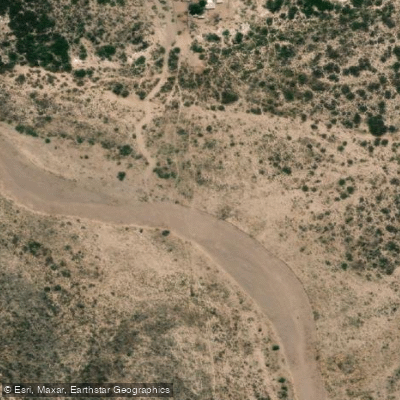
Río Tunuyán
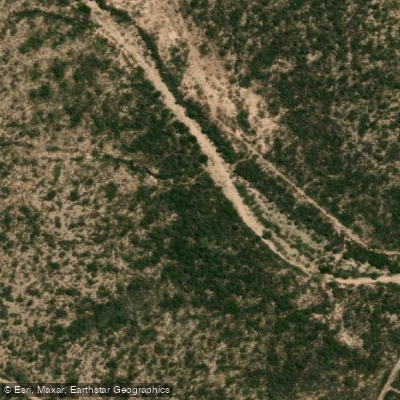
Río de los Araditos
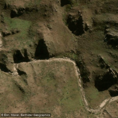
Río Virorco
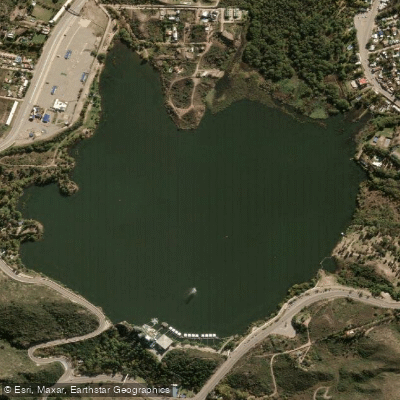
Embalse Potrero de los Funes
Río Zanjón
Río Claro
Embalse Paso de las Carretas
Explore Mendoza waters
Top fishing waters
No waters available right now.
Popular Cities
Loading popular cities...
Explore near Río Desaguadero

Smarter Fishing Starts in the App.
onWater Fish gives you everything you need to plan smarter, fish better, and own every trip from first cast to last.