Embalse Ministro Juan Pistarini
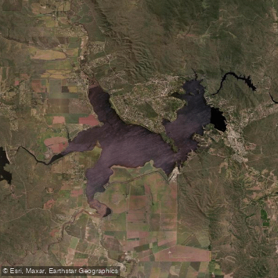
Embalse Ministro Juan Pistarini
- Boat Ramps
- 0
- Access Points
- 0
- Species
- 0
Embalse Ministro Juan Pistarini — locally known simply as "El Embalse" — is the largest reservoir in the province of Córdoba, Argentina, covering approximately 5,600 hectares of surface area with a maximum depth of 50 meters. Situated in the heart of the Valle de Calamuchita at an elevation of 660 meters above sea level, the reservoir lies roughly 110 kilometers south of the city of Córdoba, nestled between the northern slopes of the Sierras de Los Cóndores and the southern flanks of the Sierras Chicas. The reservoir is fed by five rivers draining a watershed of approximately 3,300 square kilometers, with an average annual precipitation of around 750 mm across the basin. Its waters drain eastward through the impressive spillway into the Río Ctalamochita, which ultimately flows into the Río Paraná via the Carcarañá, placing the entire system within the vast Río de la Plata basin. Originally conceived as a major hydroelectric engineering project — construction began in 1911, with the dam completed between 1916 and 1936 and officially inaugurated in 1955 — the reservoir has since become one of Córdoba's premier sport fishing and water recreation destinations, surrounded by a rich natural environment of native flora and fauna.
Species & education
Learn what type of fish are at Embalse Ministro Juan Pistarini and what's needed to catch them.
No species information available.
Fishing spots, boat ramps & amenities
Learn how to get on Embalse Ministro Juan Pistarini. Uncover great fishing access points, boat ramps, and all the facilities you need for an unforgettable day on the water. Some locations shown may border or include private property. Always check property boundaries and applicable regulations before visiting. onWater's Public & Private Land layer can help you plan your access with confidence.
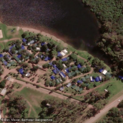
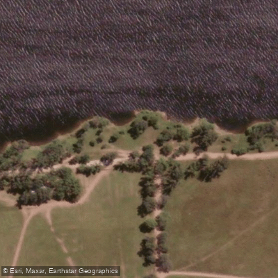
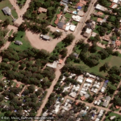
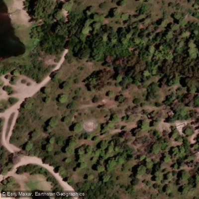
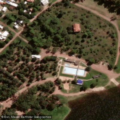
Know where you can legally fish on Embalse Ministro Juan Pistarini
See public and private land boundaries along the water, turn on private parcels with owner details to know where permission is required, and find land-trust parcels that offer permitted fishing access.
Córdoba licenses and regulations

Córdoba Boating Regulations
Boating in Argentina is regulated nationally by the Prefectura Naval Argentina, not by the province - covering recreational-vessel registration, the boat-operator licence (habilitacion nautica), and navigation safety.

Córdoba Fishing License
Official Gobierno de Cordoba page on obtaining the sport-fishing permit, bought online through Ciudadano Digital (CiDi Nivel 2).

Córdoba Fishing Regulations
Official Cordoba Secretaria de Ambiente page on the current sport-fishing reglamento, setting requirements and prohibitions for the province's waters.

Córdoba Stream Access Laws
No distinct stream-access page; the closest official provincial resource is the Secretaria de Ambiente fishing reglamento, which governs where and how anglers may fish.
Take Embalse Ministro Juan Pistarini with you
The onWater Fish app keeps this water's access points, species and conditions in your pocket, with the tools you use once you're there.
Use the map without signal
Download the map around Embalse Ministro Juan Pistarini to use it offline when coverage drops.
Log your catches here
Keep a private fishing journal for Embalse Ministro Juan Pistarini to find where and when fish are biting for you.
HD depth charts from Garmin
Find drop offs, ledges, channels, points and shallow flats with Garmin depth charts in the app.
Get the onWater Fish app
Free on iOS and Android
Water and weather conditions (10 day forecast)
See the best times to fish Embalse Ministro Juan Pistarini and check the forecast before you go.
No forecast data available.
Fishing near Embalse Ministro Juan Pistarini
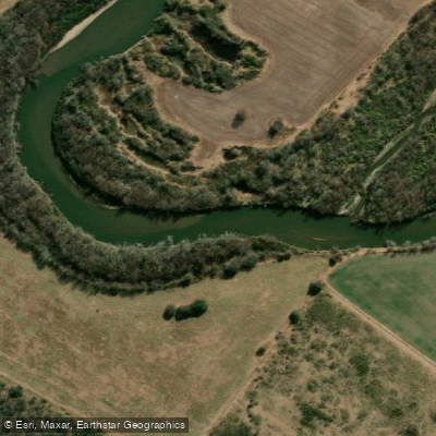
Río Tercero (Ctalamochita)
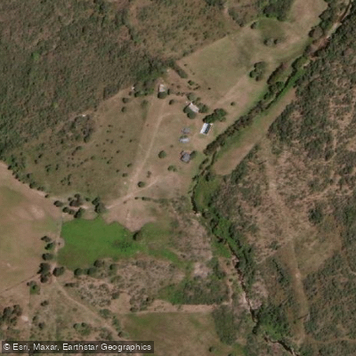
Arroyo Soconcho
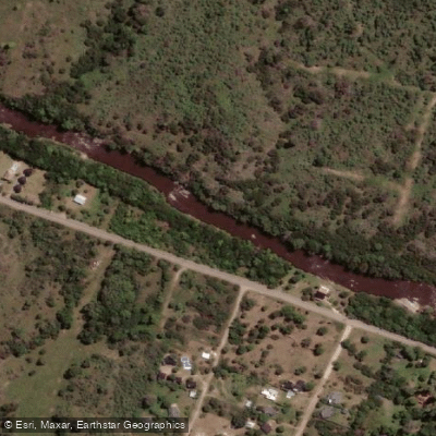
Río Santa Rosa
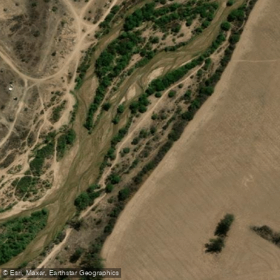
Río Segundo (Xanaes)
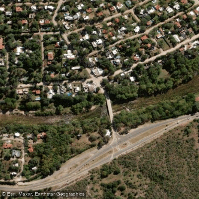
Río Anizacate
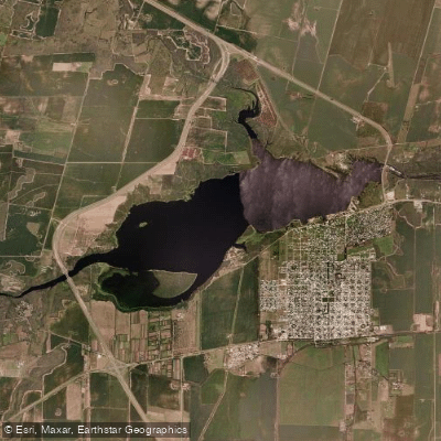
Embalse Piedras Moras
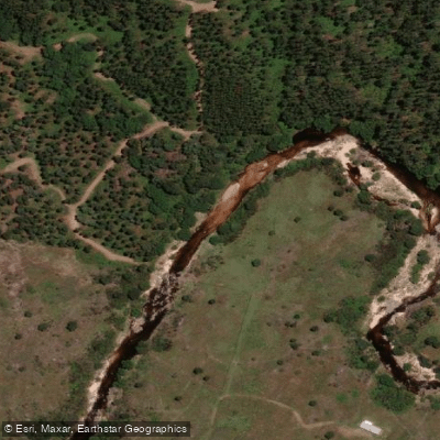
Río del Medio
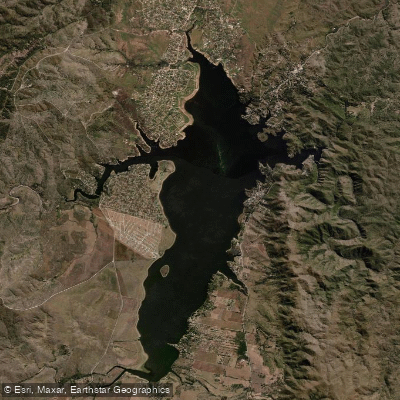
Embalse Los Molinos
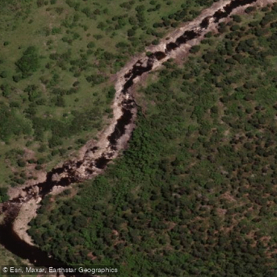
Río San José
Explore Córdoba waters
Top fishing waters
No waters available right now.
Popular Cities
Loading popular cities...
Explore near Embalse Ministro Juan Pistarini
Fishing spots
Nearby waters
More in Córdoba

Smarter Fishing Starts in the App.
onWater Fish gives you everything you need to plan smarter, fish better, and own every trip from first cast to last.