Embalse Los Molinos
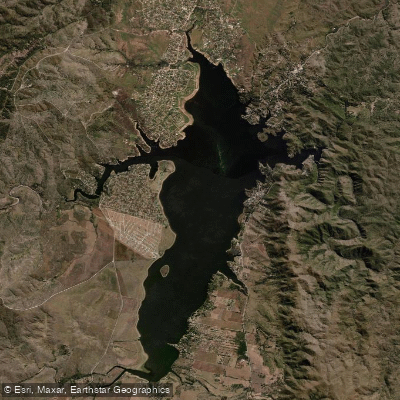
Embalse Los Molinos
- Boat Ramps
- 2
- Access Points
- 0
- Species
- 0
Embalse Los Molinos is the second-largest reservoir in Córdoba Province, Argentina, and one of the most scenic and productive fishing destinations in the region. Formed by the Los Molinos Dam — an arch dam completed in 1953 on the Los Molinos River — the reservoir sits at an elevation of approximately 769 meters above sea level in the Valle de Paravachasca, within the Departamento Santa María. The dam wall stands 60 meters high and 240 meters long, impounding a surface area of 24.5 square kilometers with a total storage capacity of up to 399 million cubic meters of water. The maximum depth reaches an impressive 57 meters, making it a deep, stratified body of water with diverse habitat zones. The reservoir draws from a catchment basin of 980 square kilometers, with a mean annual precipitation of approximately 750 mm across that watershed. Surrounding communities including Los Molinos, Alta Gracia, Villa General Belgrano, Los Reartes, Potrero de Garay, Villa Ciudad de América, Los Espinillos, and La Merced all border or lie near the reservoir, providing anglers with a range of nearby services and access options.
Species & education
Learn what type of fish are at Embalse Los Molinos and what's needed to catch them.
No species information available.
Fishing spots, boat ramps & amenities
Learn how to get on Embalse Los Molinos. Uncover great fishing access points, boat ramps, and all the facilities you need for an unforgettable day on the water. Some locations shown may border or include private property. Always check property boundaries and applicable regulations before visiting. onWater's Public & Private Land layer can help you plan your access with confidence.
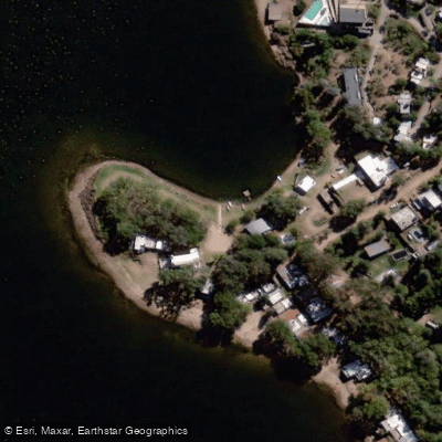
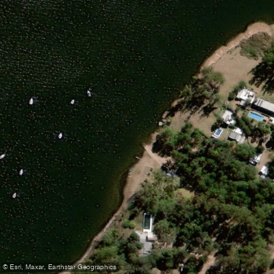
Know where you can legally fish on Embalse Los Molinos
See public and private land boundaries along the water, turn on private parcels with owner details to know where permission is required, and find land-trust parcels that offer permitted fishing access.
Córdoba licenses and regulations

Córdoba Boating Regulations
Boating in Argentina is regulated nationally by the Prefectura Naval Argentina, not by the province - covering recreational-vessel registration, the boat-operator licence (habilitacion nautica), and navigation safety.

Córdoba Fishing License
Official Gobierno de Cordoba page on obtaining the sport-fishing permit, bought online through Ciudadano Digital (CiDi Nivel 2).

Córdoba Fishing Regulations
Official Cordoba Secretaria de Ambiente page on the current sport-fishing reglamento, setting requirements and prohibitions for the province's waters.

Córdoba Stream Access Laws
No distinct stream-access page; the closest official provincial resource is the Secretaria de Ambiente fishing reglamento, which governs where and how anglers may fish.
Take Embalse Los Molinos with you
The onWater Fish app keeps this water's access points, species and conditions in your pocket, with the tools you use once you're there.
Use the map without signal
Download the map around Embalse Los Molinos to use it offline when coverage drops.
Log your catches here
Keep a private fishing journal for Embalse Los Molinos to find where and when fish are biting for you.
HD depth charts from Garmin
Find drop offs, ledges, channels, points and shallow flats with Garmin depth charts in the app.
Get the onWater Fish app
Free on iOS and Android
Water and weather conditions (10 day forecast)
See the best times to fish Embalse Los Molinos and check the forecast before you go.
No forecast data available.
Fishing near Embalse Los Molinos
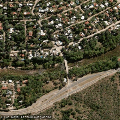
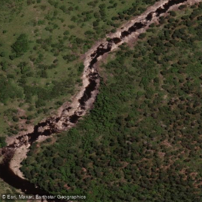
Río Anizacate
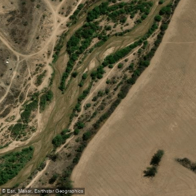
Río San José
Río Segundo (Xanaes)
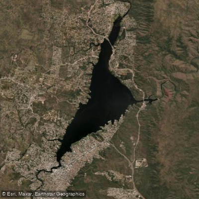
Embalse San Roque
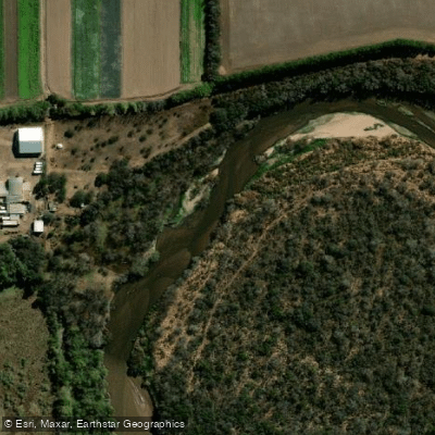
Río Primero (Suquía)
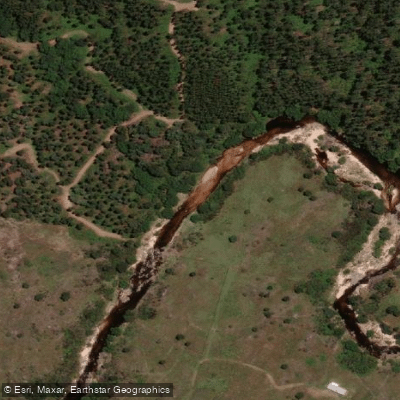
Río del Medio
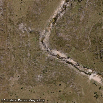
Río de la Suela
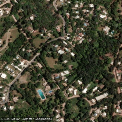
Río Ceballos
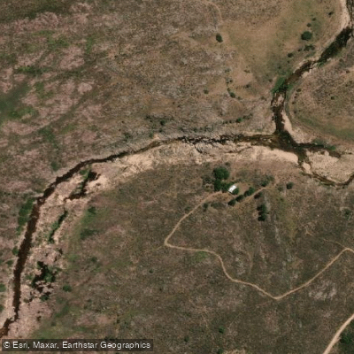
Río Yuspe
Explore Córdoba waters
Top fishing waters
No waters available right now.
Popular Cities
Loading popular cities...
Explore near Embalse Los Molinos

Smarter Fishing Starts in the App.
onWater Fish gives you everything you need to plan smarter, fish better, and own every trip from first cast to last.