Groot-Kei
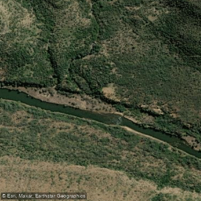
Groot-Kei
- Boat Ramps
- 0
- Access Points
- 0
- Species
- 2
The Groot-Kei (Great Kei River) is a significant river system in South Africa's Eastern Cape Province, formed by the confluence of the Black Kei (Swart-Kei) and White Kei (Wit-Kei) rivers northeast of Cathcart. Originating in the Stormberg Mountains at an elevation of approximately 1,500 meters (4,900 feet), the river flows for 320 kilometers before emptying into the Indian Ocean at the Great Kei Estuary, with the small town of Kei Mouth situated on the western bank. The river historically marked the southwestern boundary of the Transkei region and today forms part of the Eastern Cape's Wild Coast corridor — one of South Africa's most ecologically rich and scenic coastal zones. The estuary and lower reaches are classified as subtropical, characterized by warm waters exceeding 16°C year-round, with minimum winter temperatures ranging from 12–14°C and rainfall distributed throughout the year, creating a warm and humid climate that supports diverse aquatic life.
Species & education
Learn what type of fish are at Groot-Kei and what's needed to catch them.

Find which waters have the species you want to catch

Flathead Grey Mullet
Mugil cephalus

Vaal-Orange Smallmouth Yellowfish
Labeobarbus aeneus
Fishing spots, boat ramps & amenities
Learn how to get on Groot-Kei. Uncover great fishing access points, boat ramps, and all the facilities you need for an unforgettable day on the water. Some locations shown may border or include private property. Always check property boundaries and applicable regulations before visiting. onWater's Public & Private Land layer can help you plan your access with confidence.
Know where you can legally fish on Groot-Kei
See public and private land boundaries along the water, turn on private parcels with owner details to know where permission is required, and find land-trust parcels that offer permitted fishing access.
Eastern Cape licenses and regulations

Eastern Cape Boating Regulations
National Small Vessel Safety Regulations administered by the South African Maritime Safety Authority (SAMSA), covering recreational boats on inland and coastal waters. National page reused for all provinces, as there is no separate provincial boating-safety authority.

Eastern Cape Fishing License
Official site of the Eastern Cape Department of Economic Development, Environmental Affairs and Tourism (DEDEAT), the provincial authority that issues freshwater angling licences. Note: no dedicated online licence page exists; the provincial licence is obtained over-the-counter at DEDEAT/nature-reserve offices and some Post Offices.

Eastern Cape Fishing Regulations
Freshwater fishing in the Eastern Cape is governed by provincial Nature Conservation legislation administered by DEDEAT (the official authority site). No standalone provincial freshwater-regulations web page exists, so the authority site is used.

Eastern Cape Stream Access Laws
South Africa's National Water Act (No. 36 of 1998) is the national law governing rights to and use of rivers and watercourses - the framework relevant to stream/water access. National page reused as no distinct provincial stream-access page exists.
Take Groot-Kei with you
The onWater Fish app keeps this water's access points, species and conditions in your pocket, with the tools you use once you're there.
Use the map without signal
Download the map around Groot-Kei to use it offline when coverage drops.
Log your catches here
Keep a private fishing journal for Groot-Kei to find where and when fish are biting for you.
Get the onWater Fish app
Free on iOS and Android
Water and weather conditions (10 day forecast)
See the best times to fish Groot-Kei and check the forecast before you go.
Great-Kei River @ Area 8 Springs B
Fishing near Groot-Kei
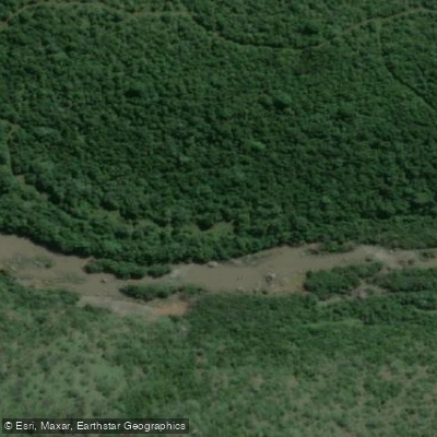
Buffalo
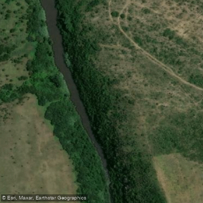
Nahoon
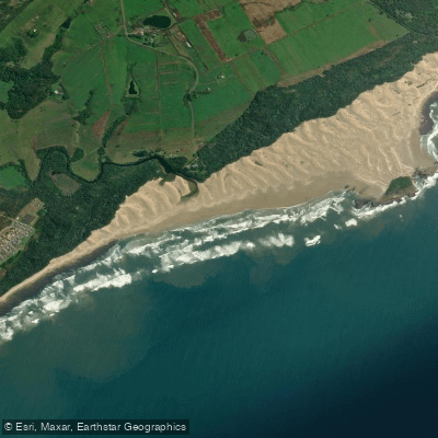
Hlozi
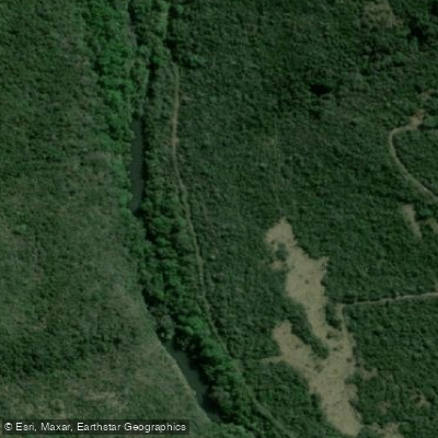
Gqunube
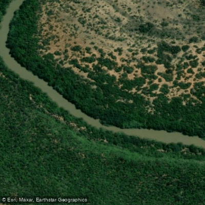
Keiskamma
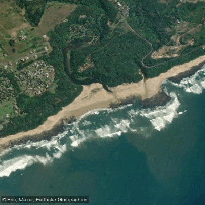
Hickman's
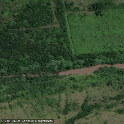
Kwelera
Chintsa
Ngqenga
Kubusi
Explore Eastern Cape waters
Top fishing waters
No waters available right now.
Popular Cities
Loading popular cities...
Explore near Groot-Kei
Fishing spots
More in Eastern Cape

Smarter Fishing Starts in the App.
onWater Fish gives you everything you need to plan smarter, fish better, and own every trip from first cast to last.