Clam Dam Park Canoe Launch
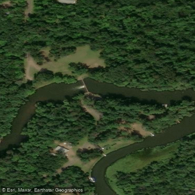
Clam Dam Park Canoe Launch
Clam Dam Park offers a canoe landing on the south side of the Clam River east of the dam, providing convenient access for paddlers.
The park features day-use facilities including picnic areas, shelters, restrooms, hand water pump, and fishing benches, with parking accessible from both Peterson Road and Pike Bend Road.
Located 3 miles east of Highway 35 between Webster and Siren, this free county park is ideal for canoeists and anglers looking for a developed launch point.
Nearby points of interest
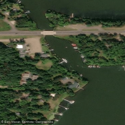
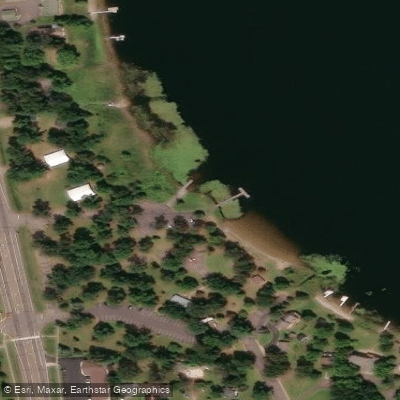
Find excellent fishing spots, easy access to boat ramps, and all the amenities you need for a memorable day. Your adventure starts here.
Water and weather conditions (10 day forecast)
Check the forecast at Clam Dam Park Canoe Launch before you go fishing.
No forecast data available.
Fishing near Clam Dam Park Canoe Launch
Snake River
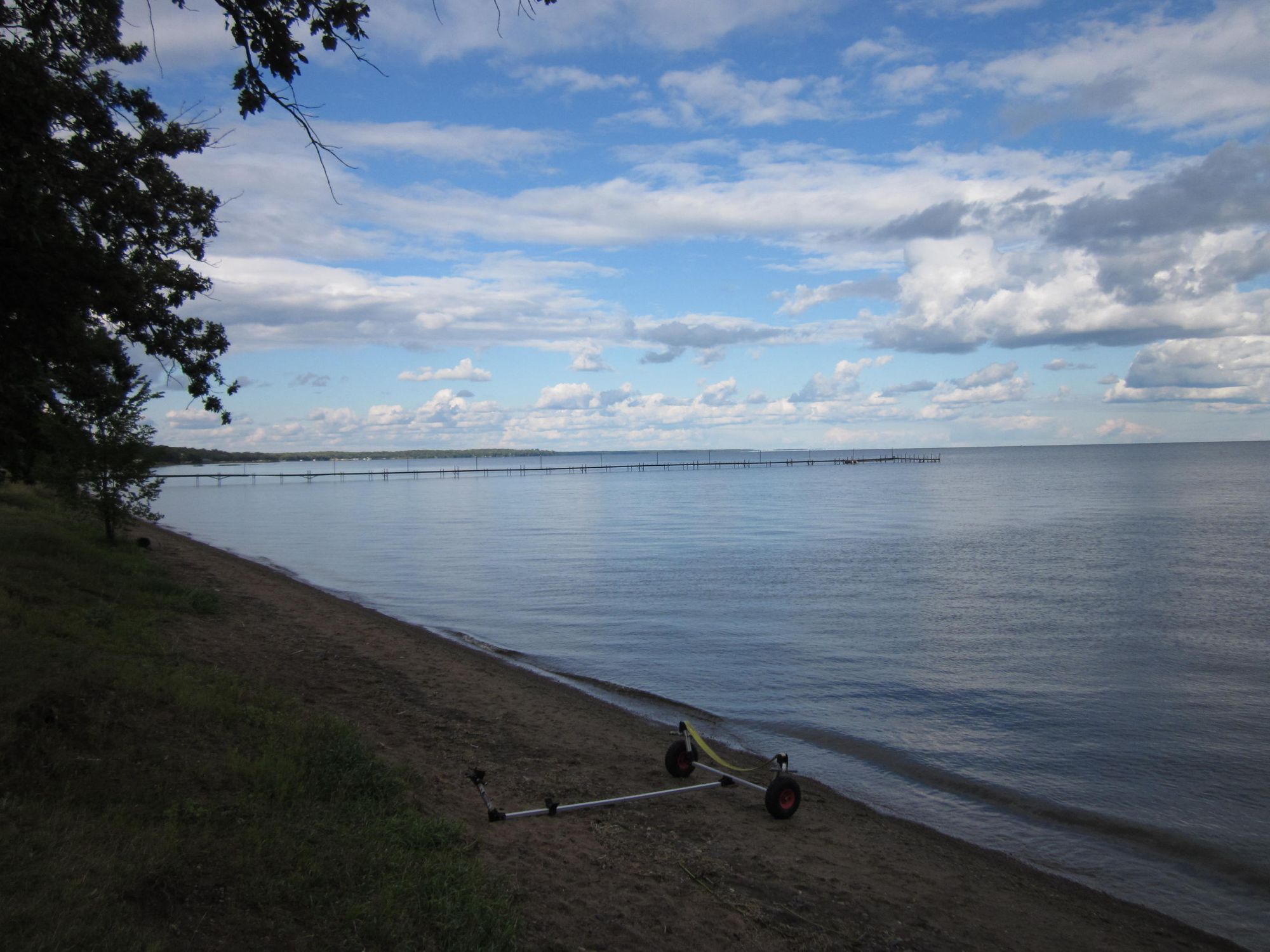
Mille Lacs Lake
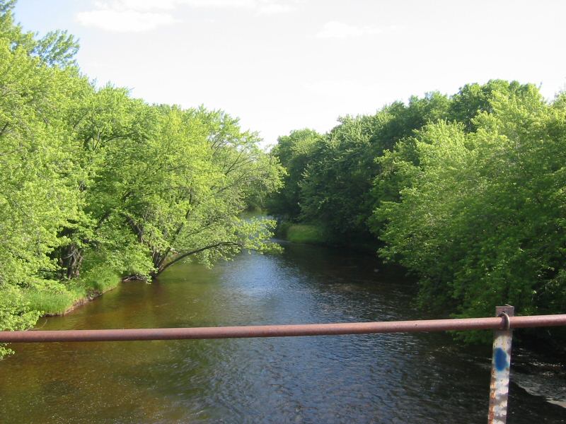
Rum River
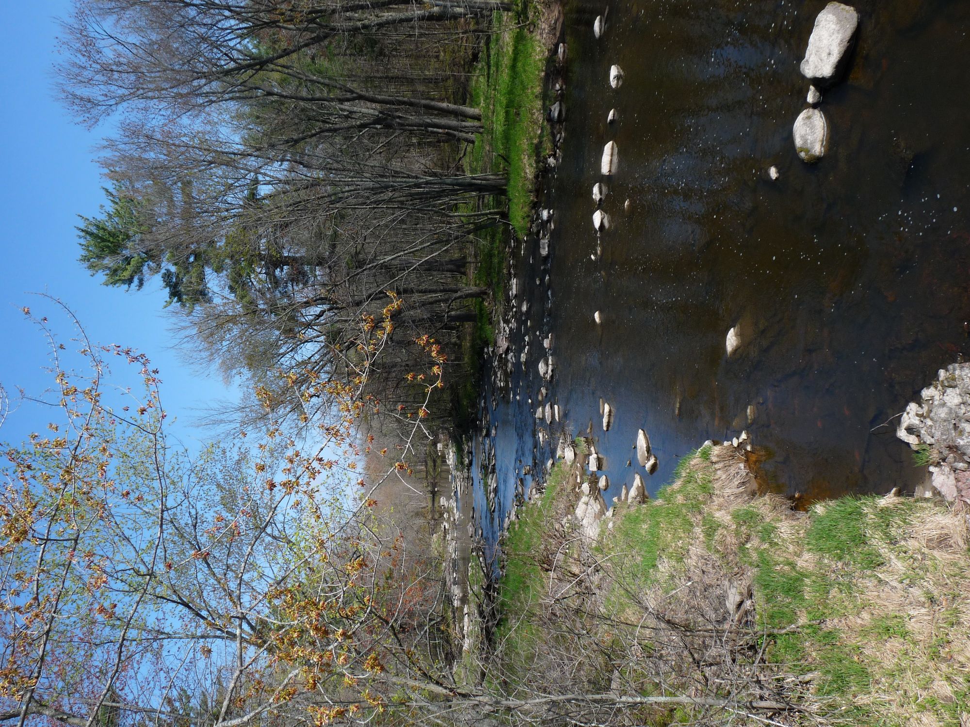
Yellow River
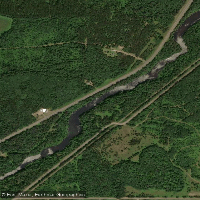
Namekagon River
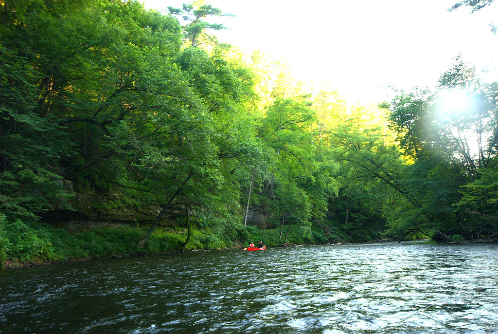
Apple River
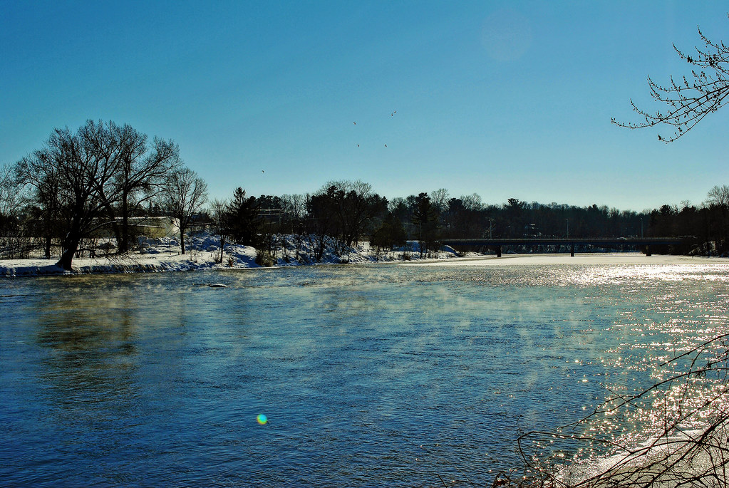
Red Cedar River
Rice Creek

Willow River
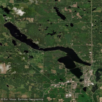
Beaver Dam Lake
Wisconsin licenses and regulations
Explore Wisconsin waters
Top fishing waters
No waters available right now.
Popular Cities
Loading popular cities...
Explore near Clam Dam Park Canoe Launch
Nearby spots
- Bass Lake Boat Ramp
- Big Doctor Lake Boat Ramp
- Big Sand Lake Boat Ramp
- Charles Tollander Memorial Park Canoe Launch
- Clam Lake Boat Ramp
- Clam Lake East Boat Ramp
- Clear Lake Park Boat Ramp
- Conners Lake Boat Ramp
- Crooked Lake Park Boat Ramp
- Highway 35 Bridge Boat Ramp
- Lily Lake Carry-in
- Long Lake Boat Ramp
- All 20 nearby spots
Nearby waters
More in Wisconsin

Smarter Fishing Starts in the App.
onWater Fish gives you everything you need to plan smarter, fish better, and own every trip from first cast to last.