Newport Boat Ramp
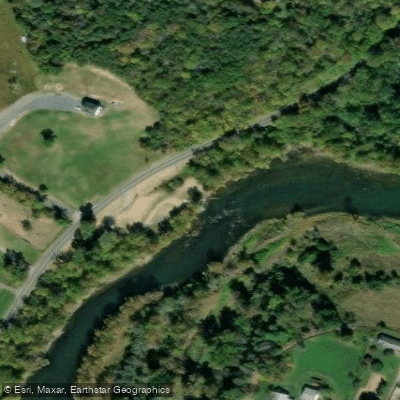
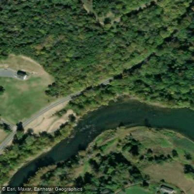
Newport Boat Ramp
Newport Boat Ramp is a primitive shoreline access point on the South Fork Shenandoah River located north of Newport on U. S. Route 340, offering a dirt ramp suitable for canoes and kayaks but not recommended for trailers.
This access point serves as a takeout for the Grove Hill to Newport float trip (6 miles) and a launch point for the Newport to Alma section (3 miles), with a notable hydroelectric dam located halfway between Grove Hill and Newport that requires portaging on the right side.
Nearby points of interest
Find excellent fishing spots, easy access to boat ramps, and all the amenities you need for a memorable day. Your adventure starts here.
Water and weather conditions (10 day forecast)
Check the forecast at Newport Boat Ramp before you go fishing.
No forecast data available.
Fishing near Newport Boat Ramp
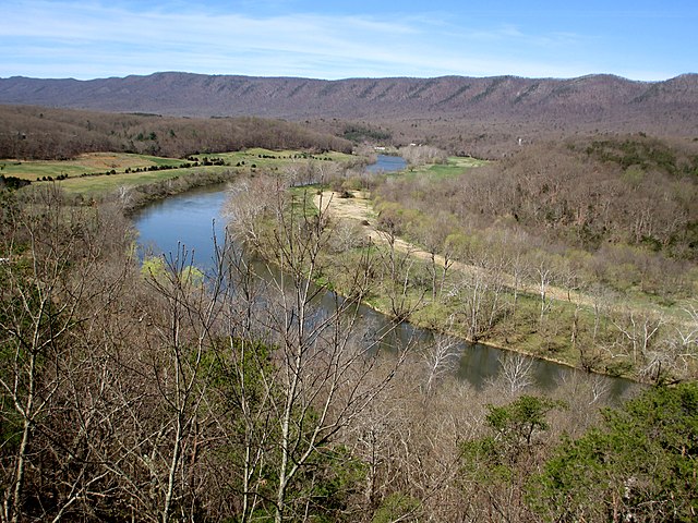
South Fork Shenandoah River
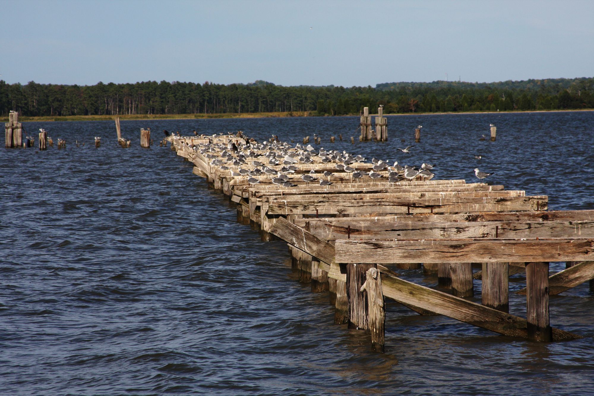
Rappahannock River
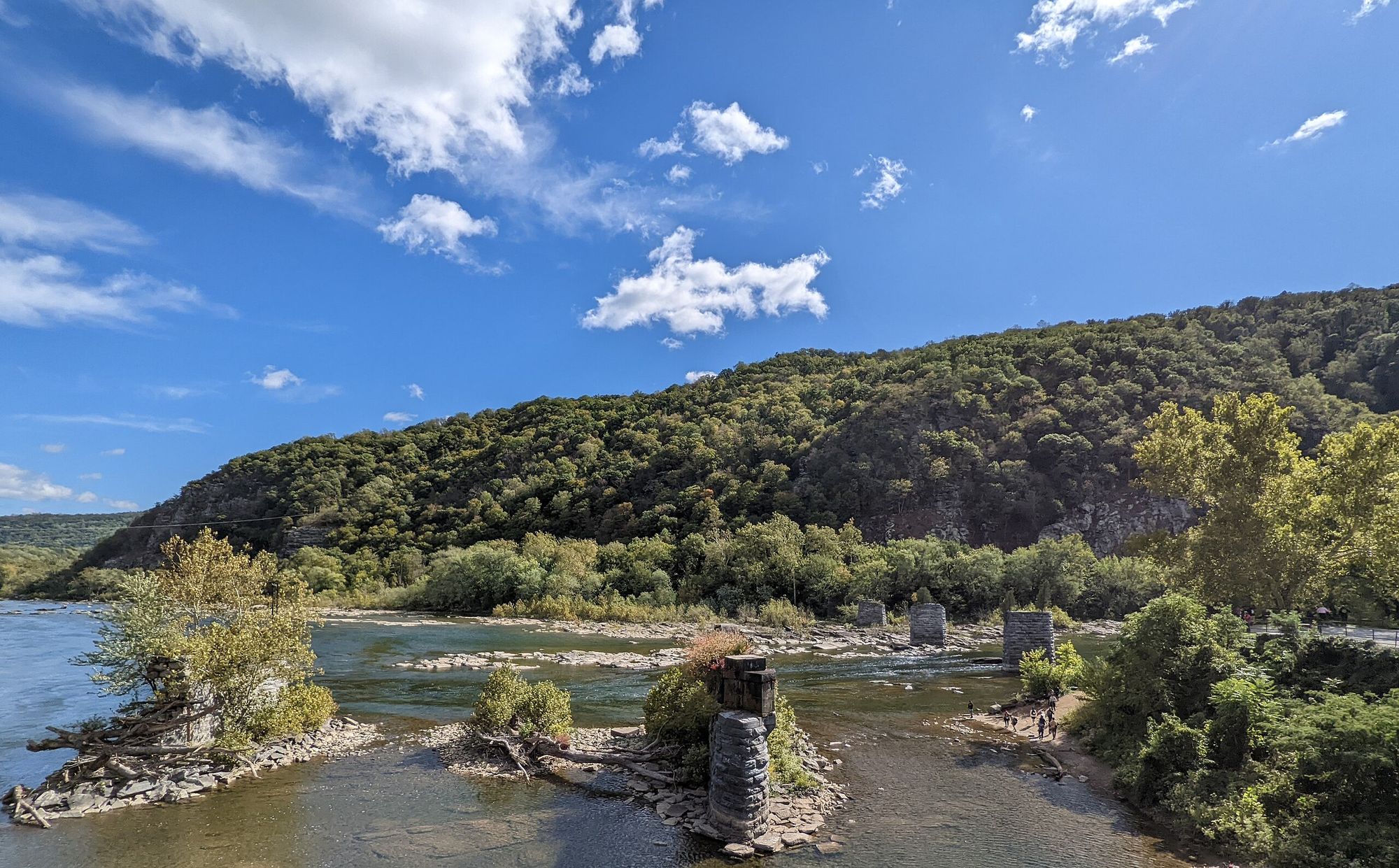
Shenandoah River
Rivanna River
South River
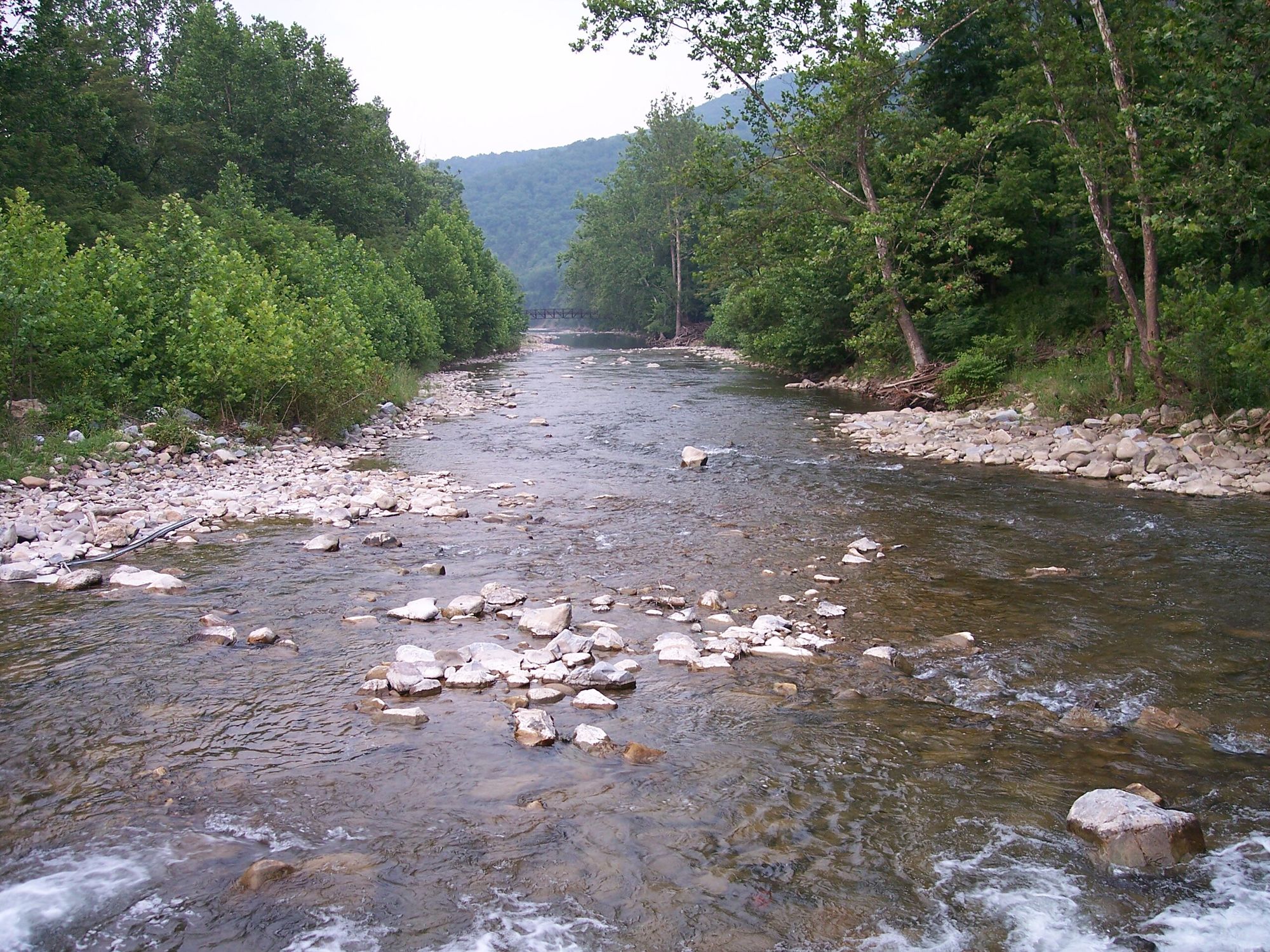
North Fork South Branch Potomac River
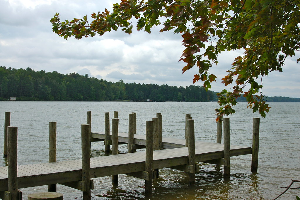
Lake Anna
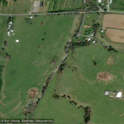
Hawksbill Creek
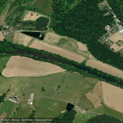
North Fork Shenandoah River
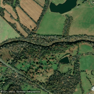
Rapidan River
Virginia licenses and regulations
Explore Virginia waters
Top fishing waters
No waters available right now.
Popular Cities
Loading popular cities...
Explore near Newport Boat Ramp
Nearby spots
Nearby waters
More in Virginia

Smarter Fishing Starts in the App.
onWater Fish gives you everything you need to plan smarter, fish better, and own every trip from first cast to last.