Asheville Hwy Boat Ramp
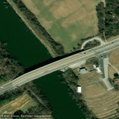
Asheville Hwy Boat Ramp
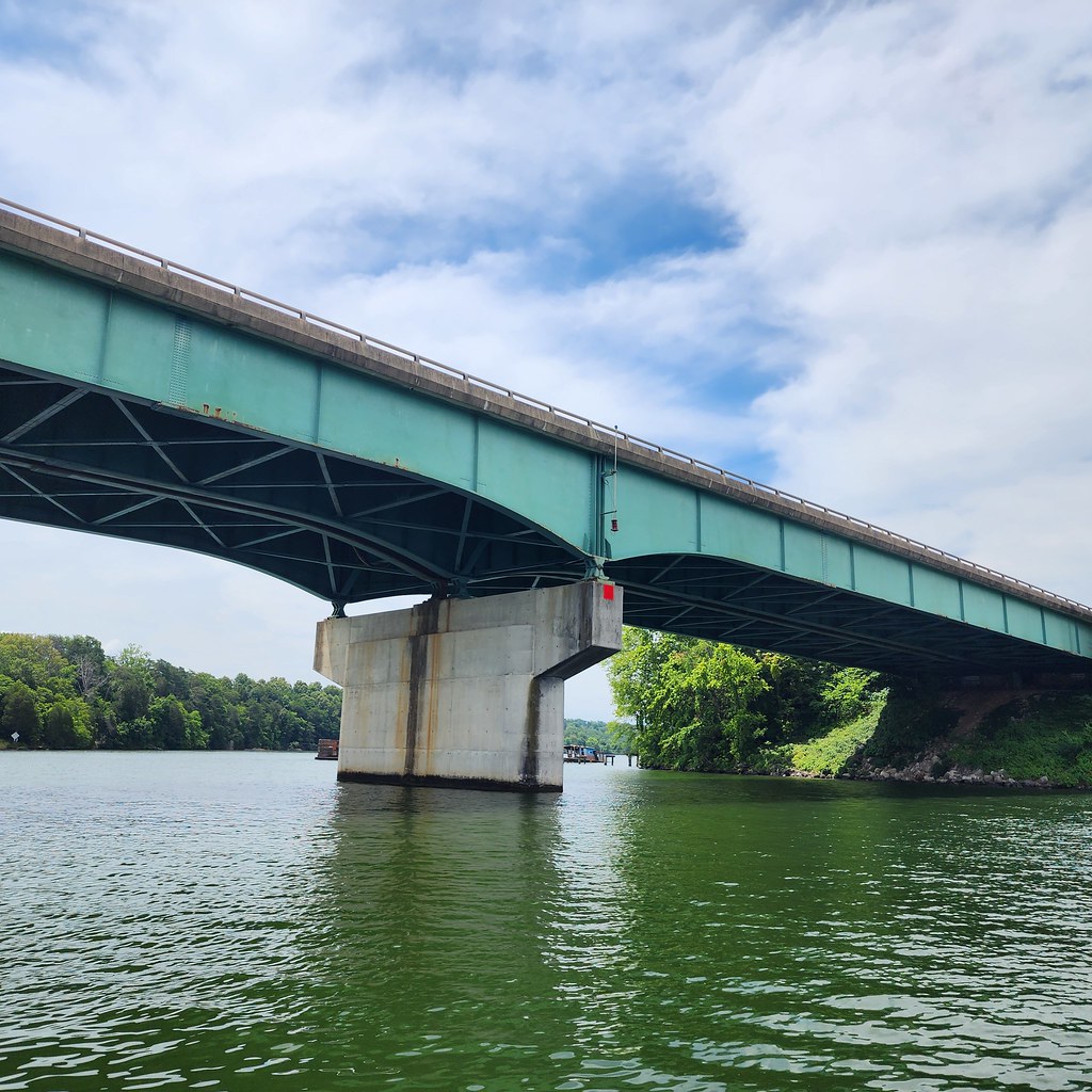
The Asheville Highway Access Area provides a paved boat ramp and parking lot for accessing a 52-mile stretch of the Holston River below Cherokee Dam, offering one of the few public access points in east Knox County. Located under the J.
Will Taylor Bridge near the intersection of Governor John Sevier Highway, this facility was developed collaboratively by the Tennessee Wildlife Resources Agency, Tennessee Valley Authority, and Tennessee Department of Transportation to serve boaters, anglers, and paddlers.
The access point is situated at river mile 6. 57, approximately 10. 43 miles downstream from McBee Ferry access.
Nearby points of interest
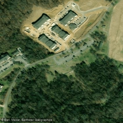
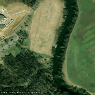
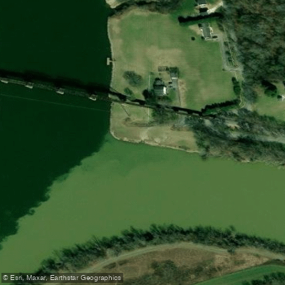
Find excellent fishing spots, easy access to boat ramps, and all the amenities you need for a memorable day. Your adventure starts here.
Water and weather conditions (10 day forecast)
Check the forecast at Asheville Hwy Boat Ramp before you go fishing.
No forecast data available.
Fishing near Asheville Hwy Boat Ramp
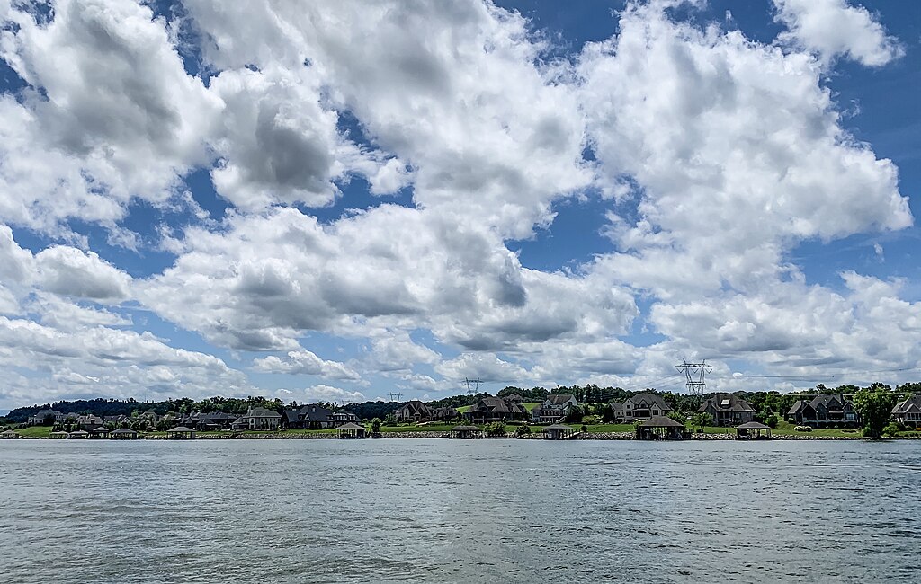
Fort Loudoun Lake
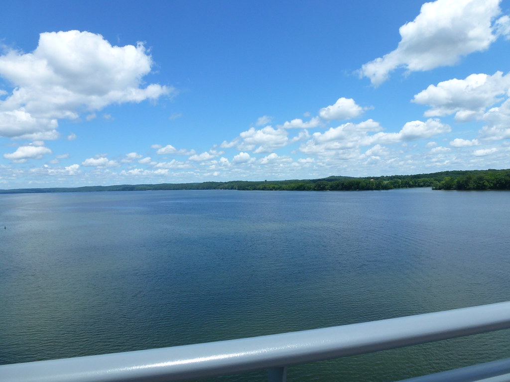
Tennessee River
Holston River
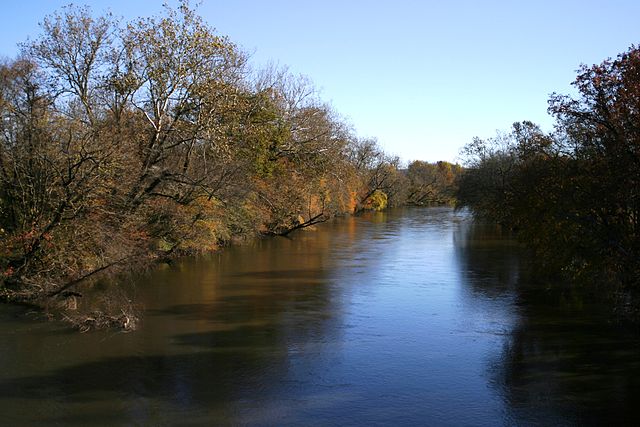
French Broad River
Clinch River
Norris Lake
Watts Bar Lake
Tellico Lake
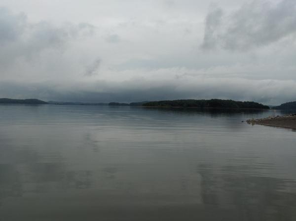
Douglas Lake
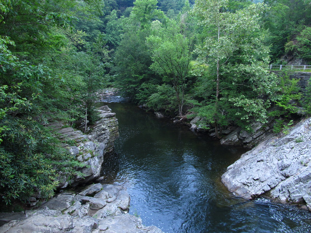
Little River
Tennessee licenses and regulations
Explore Tennessee waters
Top fishing waters
No waters available right now.
Popular Cities
Loading popular cities...
Explore near Asheville Hwy Boat Ramp
Nearby spots
Nearby waters
More in Tennessee

Smarter Fishing Starts in the App.
onWater Fish gives you everything you need to plan smarter, fish better, and own every trip from first cast to last.