Cachoeira Do Saboeiro
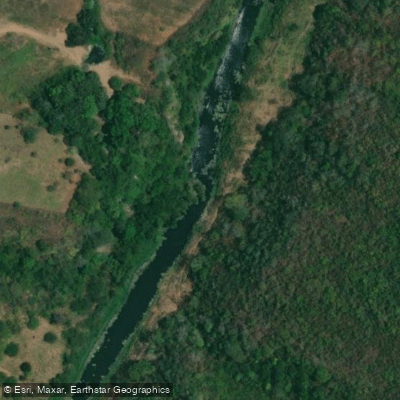
Cachoeira Do Saboeiro
Cachoeira do Saboeiro sits on the banks of the Rio Vaza-Barris, roughly between the cities of Lagarto and São Domingos in Sergipe, about 100 km from the state capital Aracaju.
Although the falls lie closer to São Domingos, the easier approach runs through Lagarto, avoiding a long, poorly cleared trail and a river crossing.
The waterfall is a remarkable active example of travertine formation — locally also called "tufas" — built up by freshwater springs rich in calcium carbonate (CaCO3). It may be the only environment of this type still active in Sergipe.
The site sits at the transition zone between the Atlantic Forest and Caatinga biomes, lending the surrounding landscape a distinctive, diverse character.
A moderate 14-kilometer round-trip trail leads to the falls, with opportunities to swim at the spring near Lagarto, at the waterfall itself, and in the Rio Vaza-Barris nearby.
Nearby points of interest
Find excellent fishing spots, easy access to boat ramps, and all the amenities you need for a memorable day. Your adventure starts here.
Water and weather conditions (10 day forecast)
Check the forecast at Cachoeira Do Saboeiro before you go fishing.
No forecast data available.
Fishing near Cachoeira Do Saboeiro
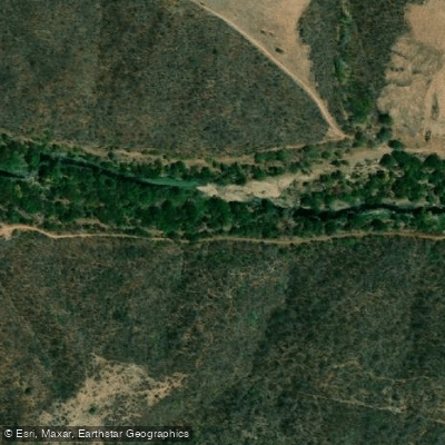
Rio Vaza-Barris
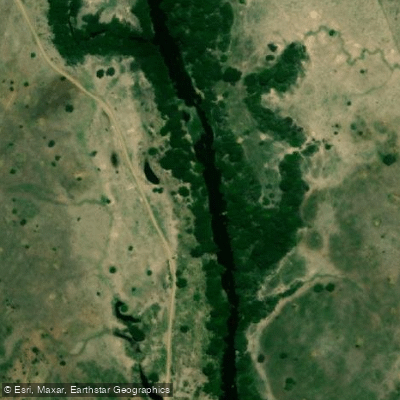
Rio Piauí
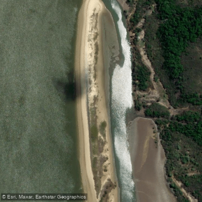
Viral
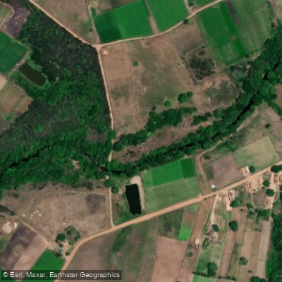
Rio Jacarecica
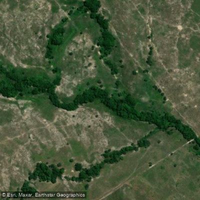
Rio do Machado
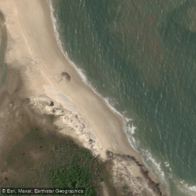
Praia do Coqueirinho
Rio Jacaré
Rio Sergipe
Praia do Abaís
Rio Piauitinga
Sergipe licenses and regulations
Explore Sergipe waters
Top fishing waters
No waters available right now.
Popular Cities
Loading popular cities...
Explore near Cachoeira Do Saboeiro

Smarter Fishing Starts in the App.
onWater Fish gives you everything you need to plan smarter, fish better, and own every trip from first cast to last.