Sundale Bridge
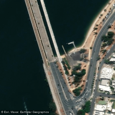
Sundale Bridge
Sundale Bridge spans the Nerang River on the Gold Coast, linking the suburbs of Southport and Main Beach in South East Queensland. Officially called the Gold Coast Bridge, it takes its popular name from the former Sundale Shopping Centre nearby.
First opened in 1966 to replace the earlier Jubilee Bridge, the structure comprises four separate decks and pier sections built in stages. It carries the Gold Coast Highway, the G:link light rail, pedestrians, and cyclists.
The bridge serves as a practical access point for river users. A two-lane boat ramp on the Main Beach side at Waterways Drive provides direct access to both the Broadwater and the Nerang River.
The bridge is also a key node on the City of Gold Coast's Surfers Riverwalk coastal pathway, which connects through to Macintosh Island, Budd's Beach, and Cascade Gardens.
A fishing platform on Barney Street, Southport sits close to the bridge's highway crossing.
Nearby points of interest
Find excellent fishing spots, easy access to boat ramps, and all the amenities you need for a memorable day. Your adventure starts here.
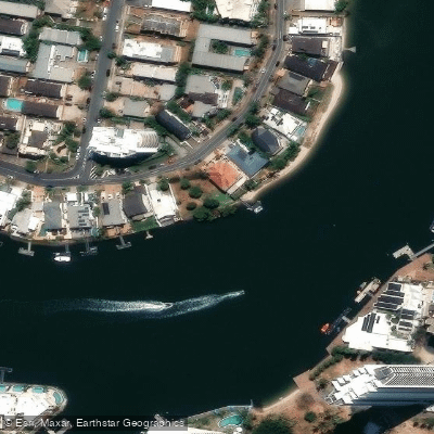
Austin Gilchrist Park
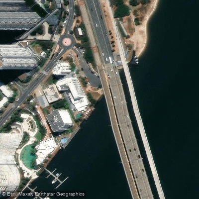
Barney Street Park
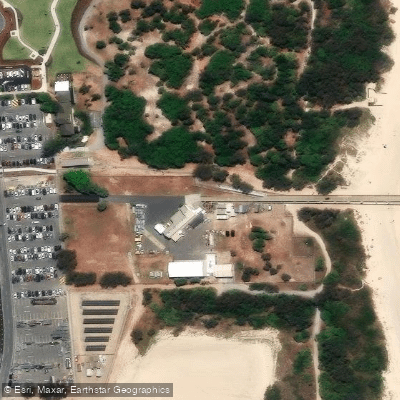
Gold Coast Seaway Jetty Decking And Handrail
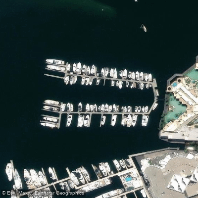
Imperial Hotel Gold Coast Marina
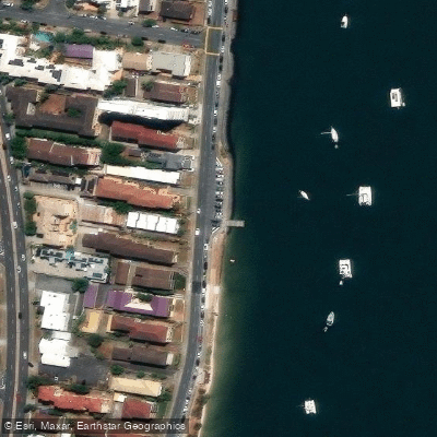
Labrador, Whiting Street (Imperial Jetty)
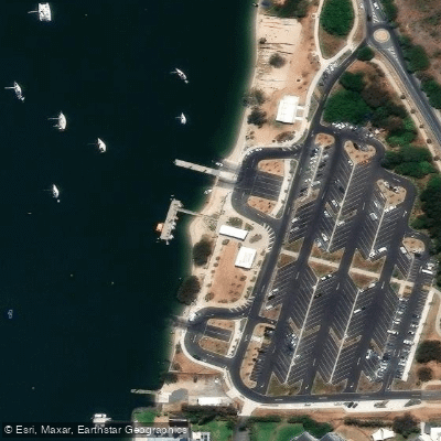
Main Beach, Muriel Henchman Drive
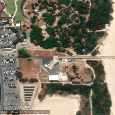
Main Beach, Sand Pumping Jetty
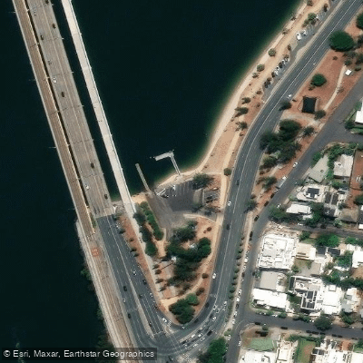
Main Beach, Waterways Drive
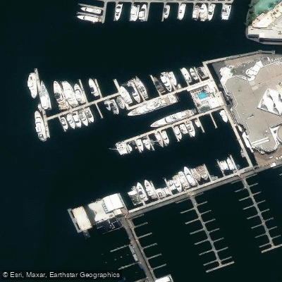
Marina Mirage
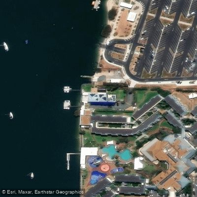
Marine Rescue Southport
Water and weather conditions (10 day forecast)
Check the forecast at Sundale Bridge before you go fishing.
No forecast data available.
Fishing near Sundale Bridge
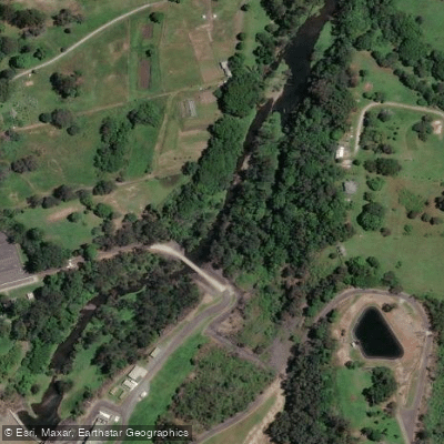
Nerang River
Mudgeeraba Creek
Southern Moreton Bay
Tallebudgera Creek
Coombabah Creek

Moreton Bay
Coomera River
Currumbin Creek
Coombabah Lake
Saltwater Creek
Queensland licenses and regulations
Explore Queensland waters
Top fishing waters
No waters available right now.
Popular Cities
Loading popular cities...
Explore near Sundale Bridge
Nearby spots
- Broadbeach, T E Peters Drive
- Carrara Boat Ramp
- Carrara, Carrara Road
- Isle Of Capri Public Boat Ramp
- Labrador, Southern End Of Marine Parade
- Loders Creek Public Boat Ramp
- Main Beach, Muriel Henchman Drive (Northern)
- Main Beach, Muriel Henchman Drive (Southern)
- Main Beach, Waterways Drive
- Runaway Bay, Ray Street
- Southport, Marine Parade & Broad Street
- Southport, Marine Pde & Welch Street
- All 30 nearby spots
Nearby waters
More in Queensland

Smarter Fishing Starts in the App.
onWater Fish gives you everything you need to plan smarter, fish better, and own every trip from first cast to last.