False Hook
- Saltwater
- Sea area
False Hook
- Saltwater
- Sea area
- Sq. miles
- 1.6
- Boat Ramps
- 0
- Access Points
- 0
- Species
- 26
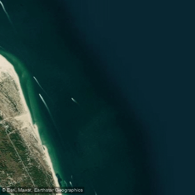
False Hook is a prominent saltwater fishing area located at the northern tip of Sandy Hook, New Jersey, within the Gateway National Recreation Area. This area is characterized by its dynamic oceanfront beaches, rocky shoreline, and the distinct False Hook Channel that runs parallel to the Atlantic coast. The location's unique geography places it directly in the path of migratory fish moving south from Raritan Bay, the Hudson River, and New England, funneling species like striped bass, bluefish, and false albacore close to shore. Fishing here is primarily surf-based, requiring significant walking along beaches and rocky terrain, and is heavily influenced by tides, seasons, and specific park regulations.
Species & education
Learn what type of fish are at False Hook and what's needed to catch them.

Find which waters have the species you want to catch

Atlantic Cod
Gadus morhua

Atlantic Croaker
Micropogonias undulatus

Atlantic Mackerel
Scomber scombrus

Atlantic Sharpnose Shark
Rhizoprionodon terraenovae

Atlantic Spadefish
Chaetodipterus faber

Black Sea Bass
Centropristis striata

Bluefish
Pomatomus saltatrix

Cunner
Tautogolabrus adspersus

Florida Pompano
Trachinotus carolinus

Giant Trevally
Caranx ignobilis

Gray Triggerfish
Balistes capriscus

Hickory Shad
Alosa mediocris

Little Tunny
Euthynnus alletteratus

Mahi-Mahi
Coryphaena hippurus

Northern Kingfish
Menticirrhus saxatilis

Northern Puffer
Sphoeroides maculatus

Sandbar Shark
Carcharhinus plumbeus

Scup
Stenotomus chrysops

Southern Kingfish
Menticirrhus americanus

Spanish Mackerel
Scomberomorus maculatus

Spiny Dogfish
Squalus acanthias
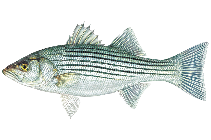
Striped Bass
Morone saxatilis

Summer Flounder
Paralichthys dentatus

Tautog
Tautoga onitis

Weakfish
Cynoscion regalis

Winter Flounder
Pseudopleuronectes americanus
Fishing spots, boat ramps & amenities
Learn how to get on False Hook. Uncover great fishing access points, boat ramps, and all the facilities you need for an unforgettable day on the water. Some locations shown may border or include private property. Always check property boundaries and applicable regulations before visiting. onWater's Public & Private Land layer can help you plan your access with confidence.
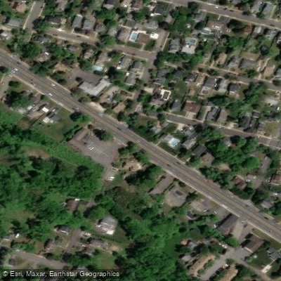
Know where you can legally fish on False Hook
See public and private land boundaries along the water, turn on private parcels with owner details to know where permission is required, and find land-trust parcels that offer permitted fishing access.
New Jersey licenses and regulations

New Jersey Boating Regulations
When using any type of watercraft to access a body of water, it is important to follow all federal, state, and local rules and regulations. These rules and regulations include boat permitting and licensing, invasive species inspections and stamps, life jacket and PFD rules, motor size and horsepower restrictions, noise limitations, restrictions on personal watercraft, and many more. Visit the web link below for the most current rules and regulations for this body of water.

New Jersey Coastal & Inland Waters
New Jersey divides its waters into saltwater and freshwater zones using specific boundary points on named rivers and creeks. No fishing license is required in saltwater, but a standard freshwater fishing license is required at and upstream of each designated boundary point. The NJ Division of Fish and Wildlife publishes the full list of boundary locations by county.

New Jersey Federal Waters & Offshore Rules
Beyond 3 nautical miles, federal waters are managed by NOAA Fisheries Greater Atlantic Regional Fisheries Office in partnership with regional fishery management councils. For-hire vessels fishing federally managed species in those waters must obtain required federal permits before heading out. Anglers targeting Atlantic highly migratory species such as tuna, billfish, swordfish, or sharks need a federal HMS permit issued by NOAA Fisheries.

New Jersey Saltwater Fishing License
New Jersey does not require a saltwater fishing license, but every angler fishing marine waters must register annually with the free NJ Saltwater Recreational Registry Program, run by the NJ Department of Environmental Protection. Owners and operators of for-hire vessels must also register each year. All Marine Fisheries Rules and Regulations apply regardless of registration status.

New Jersey Saltwater Size & Bag Limits
Size and bag limits apply to every marine species and can change throughout the year. The NJ Division of Fish and Wildlife sets these rules, and the current seasons, minimum sizes, and possession limits for species like striped bass, summer flounder, black sea bass, bluefish, and tautog are kept on the Division's marine seasons and regulations page.

New Jersey Shellfish Closures & Advisories
A valid recreational shellfish license is required to harvest oysters, clams, crabs, or other shellfish in New Jersey waters. Harvest areas can close at any time due to biotoxins, rainfall, or water quality concerns, and the NJ Department of Environmental Protection manages shellfish classifications and posts closures and consumption advisories.
Take False Hook with you
The onWater Fish app keeps this water's access points, species and conditions in your pocket, with the tools you use once you're there.
Use the map without signal
Download the map around False Hook to use it offline when coverage drops.
Log your catches here
Keep a private fishing journal for False Hook to find where and when fish are biting for you.
Get the onWater Fish app
Free on iOS and Android
Tides, wind & water conditions (10 day forecast)
On open water, wind and tide matter as much as the weather. See the best times to fish False Hook and check the marine forecast before you launch.
Loading tide predictions…
Fishing near False Hook
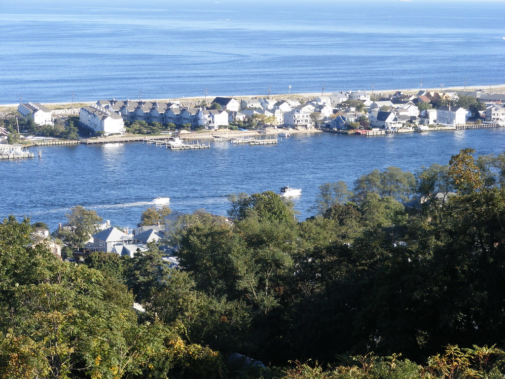
Navesink River
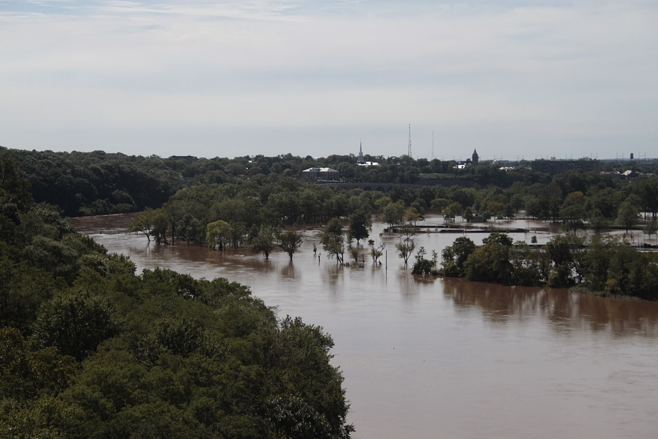
Raritan River
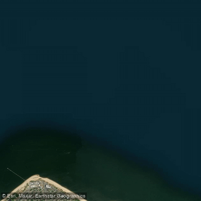
Lower Bay

Hudson River
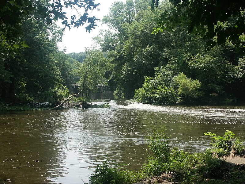
Millstone River
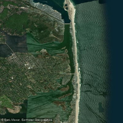
Shrewsbury River
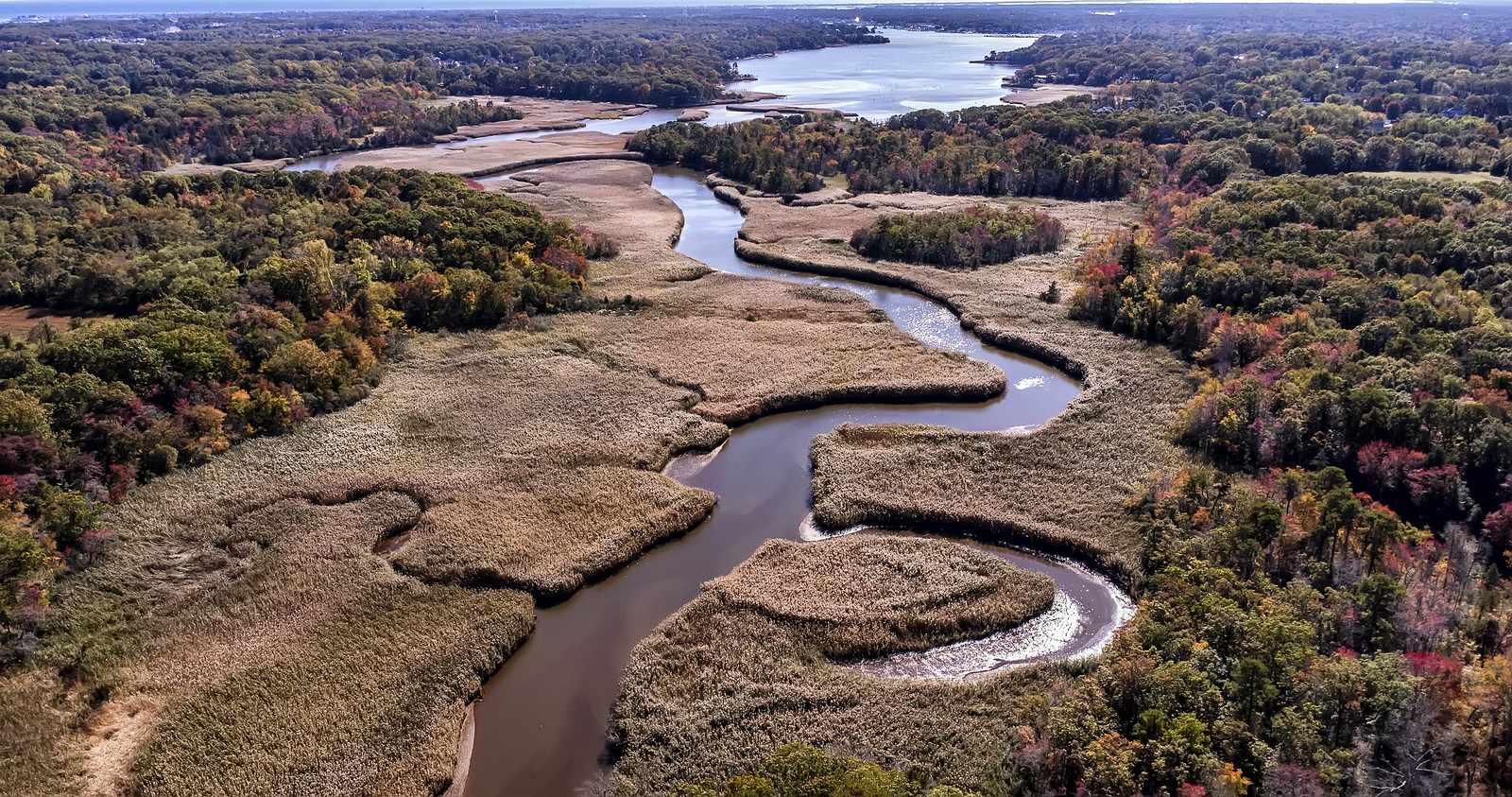
Manasquan River
Toms River
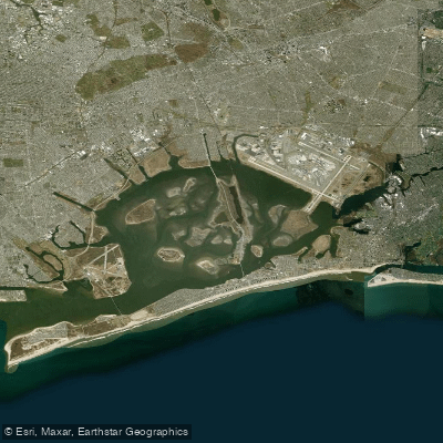
Jamaica Bay
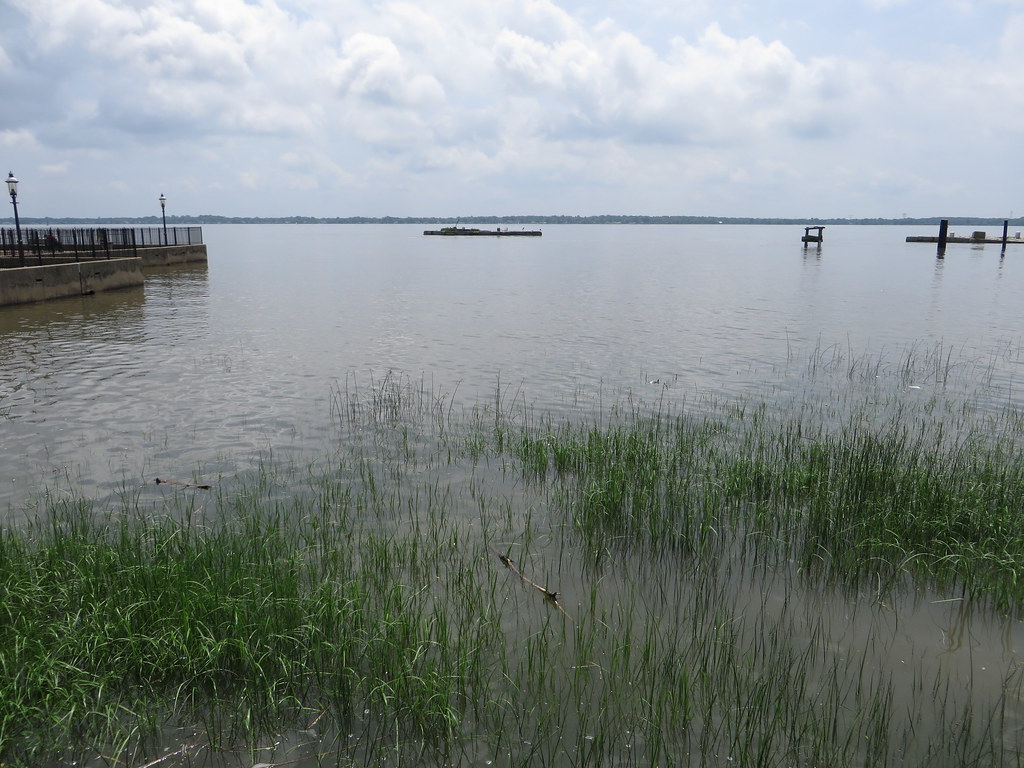
Delaware River
Explore New Jersey waters
Top fishing waters
Popular Cities
Loading popular cities...
Explore near False Hook
Fish species
Fishing spots
Nearby waters
More in New Jersey

Smarter Fishing Starts in the App.
onWater Fish gives you everything you need to plan smarter, fish better, and own every trip from first cast to last.