Truman Reservoir Management Lands (Grand River Bottoms) Access
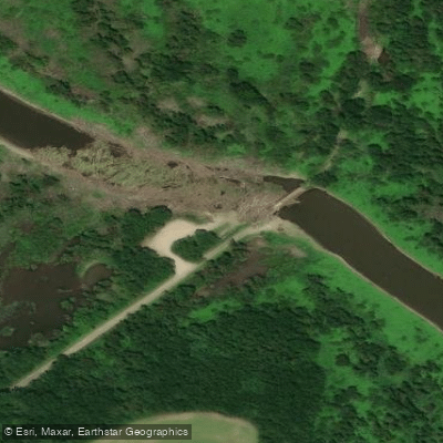
Truman Reservoir Management Lands (Grand River Bottoms) Access
Grand River Bottoms offers approximately 9 miles of shoreline access to Truman Reservoir and about 9 miles of the South Grand River, though direct lake access is limited and found primarily at the end of numerous dead-end dirt roads.
The area includes smaller Fields Creek (approximately 2 miles) and provides hunting and fishing opportunities, with an unstaffed shooting range accessible from Clinton via Highway 18 west to SW 100, then south 0. 75 mile.
Nearby points of interest
Find excellent fishing spots, easy access to boat ramps, and all the amenities you need for a memorable day. Your adventure starts here.
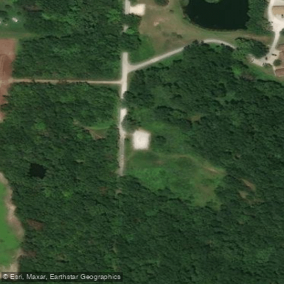
Clinton Office Access
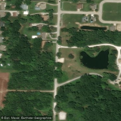
Clinton Office Access
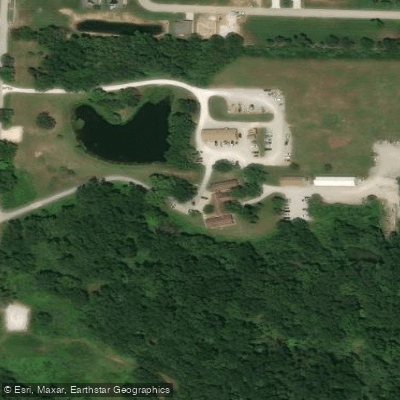
Clinton Office Access
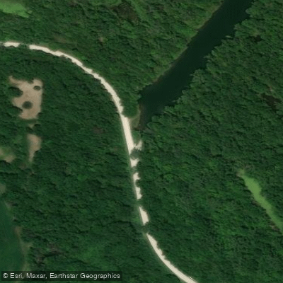
Haysler A. Poague Conservation Area Access
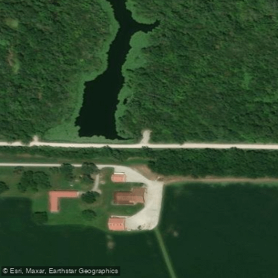
Haysler A. Poague Conservation Area Access
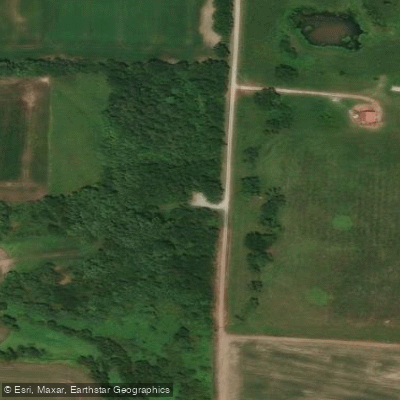
La Due Bottoms Conservation Area Access
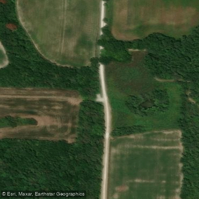
La Due Bottoms Conservation Area Access
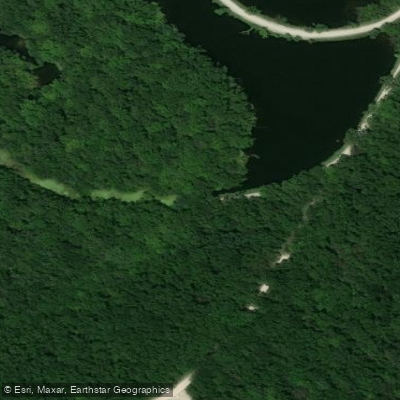
Poague (Haysler A) Conservation Area Access
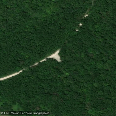
Poague (Haysler A) Conservation Area Access
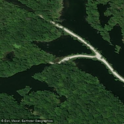
Poague (Haysler A) Conservation Area Access
Water and weather conditions (10 day forecast)
Check the forecast at Truman Reservoir Management Lands (Grand River Bottoms) Access before you go fishing.
No forecast data available.
Fishing near Truman Reservoir Management Lands (Grand River Bottoms) Access
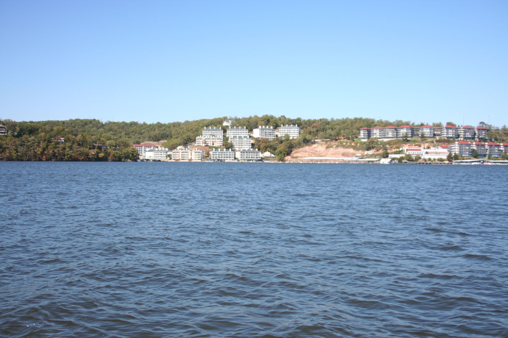
Lake of the Ozarks

Missouri River
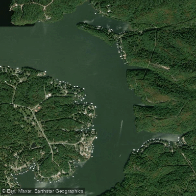
Osage River
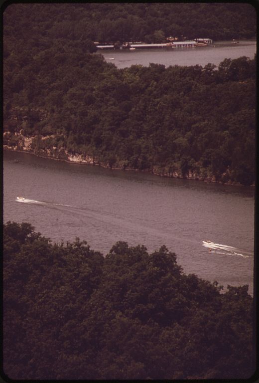
Niangua River
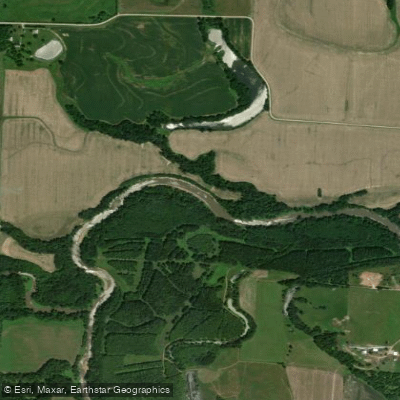
Lamine River
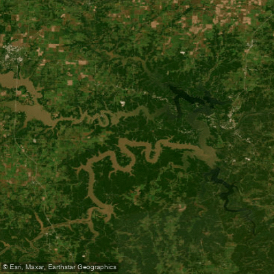
Harry S Truman Reservoir
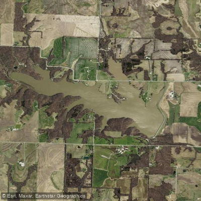
Edwin A Pape Lake
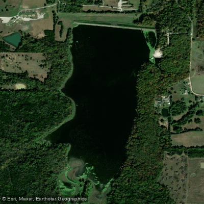
Spring Fork Lake
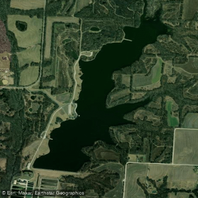
Blind Pony Lake
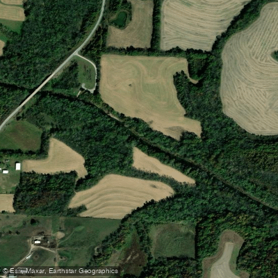
Blackwater River
Missouri licenses and regulations
Explore Missouri waters
Top fishing waters
No waters available right now.
Popular Cities
Loading popular cities...
Explore near Truman Reservoir Management Lands (Grand River Bottoms) Access
Nearby spots
- Haysler A. Poague Conservation Area Boat Ramp
- Sparrowfoot Boat Ramp
- Truman Reservoir Management Lands (Grand River Bottoms) Boat Ramp
- Clinton Office Access
- Haysler A. Poague Conservation Area Access
- La Due Bottoms Conservation Area Access
- Poague (Haysler A) Conservation Area Access
- Truman Reservoir Management Lands (Deepwater Creek) Access
- Truman Reservoir ML (Bethlehem) Access
- Truman Reservoir ML (Deepwater Creek) Access
- Truman Reservoir ML (Grand River Bottoms) Access
- Haysler A. Poague Camp Site
- All 17 nearby spots
Nearby waters
More in Missouri

Smarter Fishing Starts in the App.
onWater Fish gives you everything you need to plan smarter, fish better, and own every trip from first cast to last.