Platte Falls Conservation Area Access
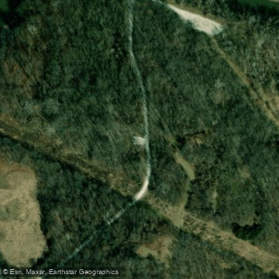
Platte Falls Conservation Area Access
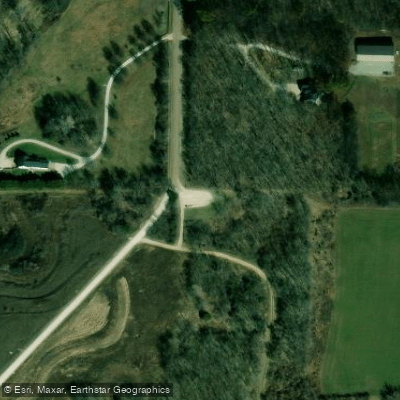
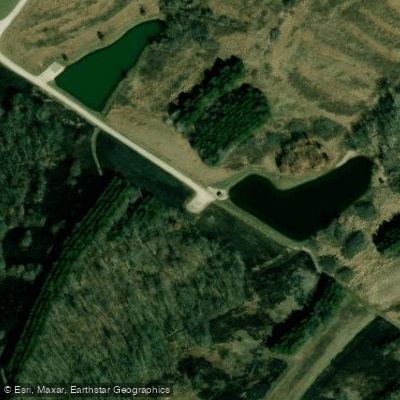
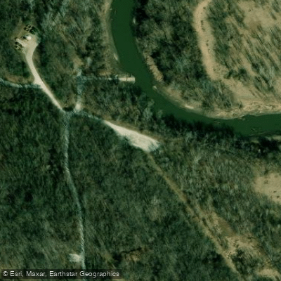
Platte Falls Conservation Area offers a unique two-mile oxbow paddling section with boat ramps at both the upstream (east) and downstream (west) ends, allowing paddlers to complete a loop without shuttling vehicles.
The area provides parking, restroom facilities, and is suitable for novice paddlers, though expect slow-moving water (under 2 mph) with numerous half-submerged trees and muddy banks.
Access is free and located off Route HH near Platte City, approximately a quarter mile between the two ramp locations.
Nearby points of interest
Find excellent fishing spots, easy access to boat ramps, and all the amenities you need for a memorable day. Your adventure starts here.
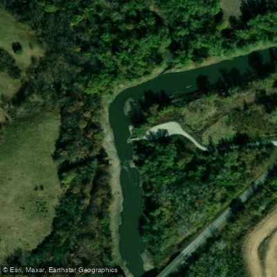
Humphrey Access
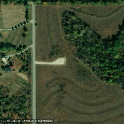
Marshall (Dr Frederick) Conservation Area Access
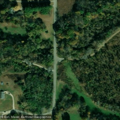
Marshall (Dr Frederick) Conservation Area Access
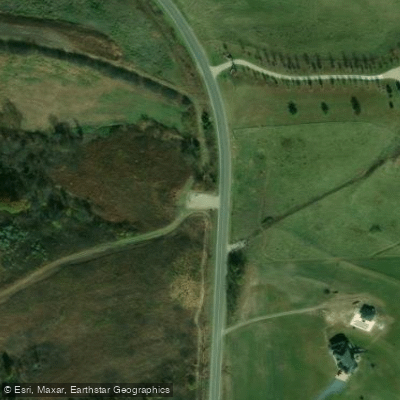
Park (Guy B) Conservation Area Access
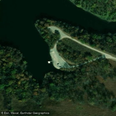
Park (Guy B) Conservation Area Access
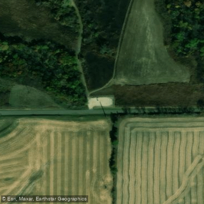
Park (Guy B) Conservation Area Access
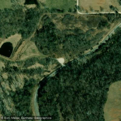
Platte Falls Conservation Area Access
Platte Falls Conservation Area Access
Platte Falls Conservation Area Access
Platte Falls Conservation Area Access
Water and weather conditions (10 day forecast)
Check the forecast at Platte Falls Conservation Area Access before you go fishing.
No forecast data available.
Fishing near Platte Falls Conservation Area Access

Missouri River
Platte River
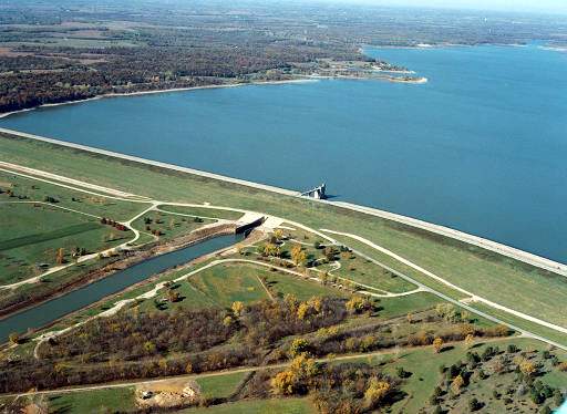
Perry Lake
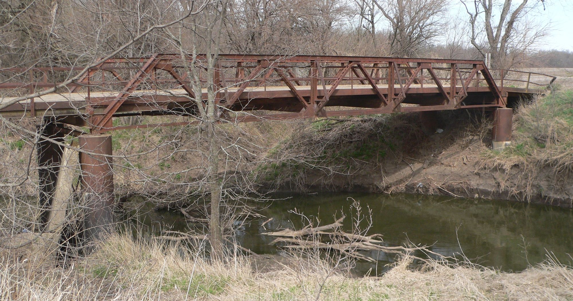
Delaware River
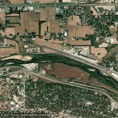
Kansas River
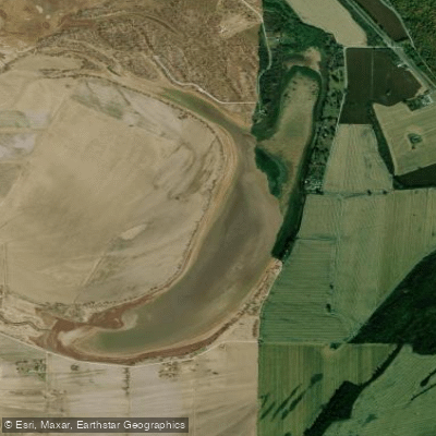
Bean Lake
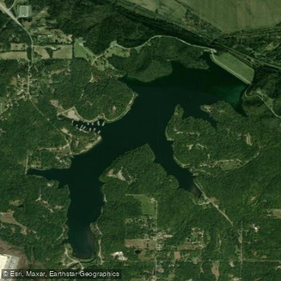
Wyandotte County Lake
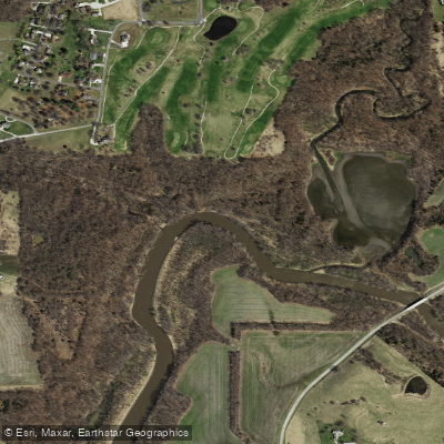
Little Platte River
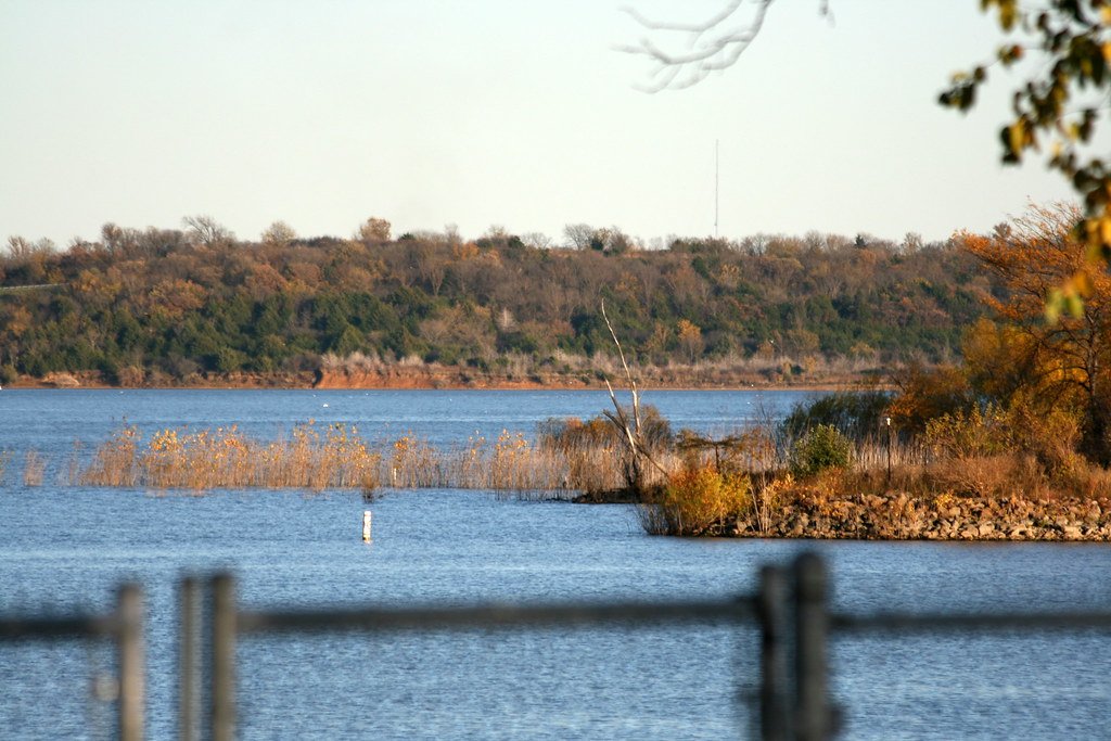
Clinton Lake
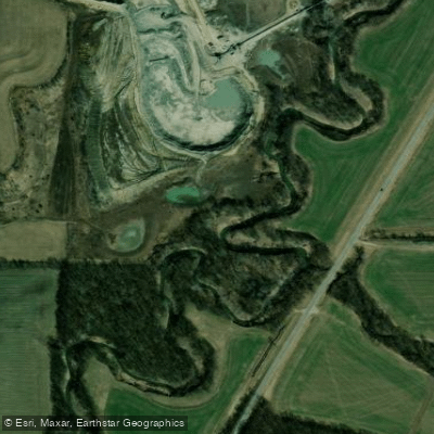
Bee Creek
Missouri licenses and regulations
Explore Missouri waters
Top fishing waters
No waters available right now.
Popular Cities
Loading popular cities...
Explore near Platte Falls Conservation Area Access
Nearby spots
- Guy B. Park Conservation Area Boat Ramp
- Humphrey Access Boat Ramp
- Platte Falls Conservation Area Boat Ramp
- Sharps Station Access Boat Ramp
- Humphrey Access
- Marshall (Dr Frederick) Conservation Area Access
- Park (Guy B) Conservation Area Access
- Platte Falls Conservation Area Access
- Sharps Station Access
- Humphrey Access Parking
- Platte Falls Conservation Area Parking
- Sharps Station Access Parking
Nearby waters
More in Missouri

Smarter Fishing Starts in the App.
onWater Fish gives you everything you need to plan smarter, fish better, and own every trip from first cast to last.