Osage Fork Conservation Area Access
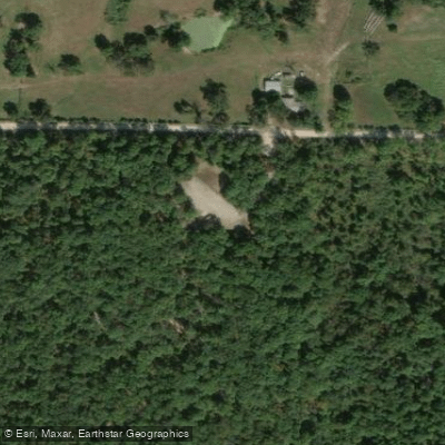
Osage Fork Conservation Area Access
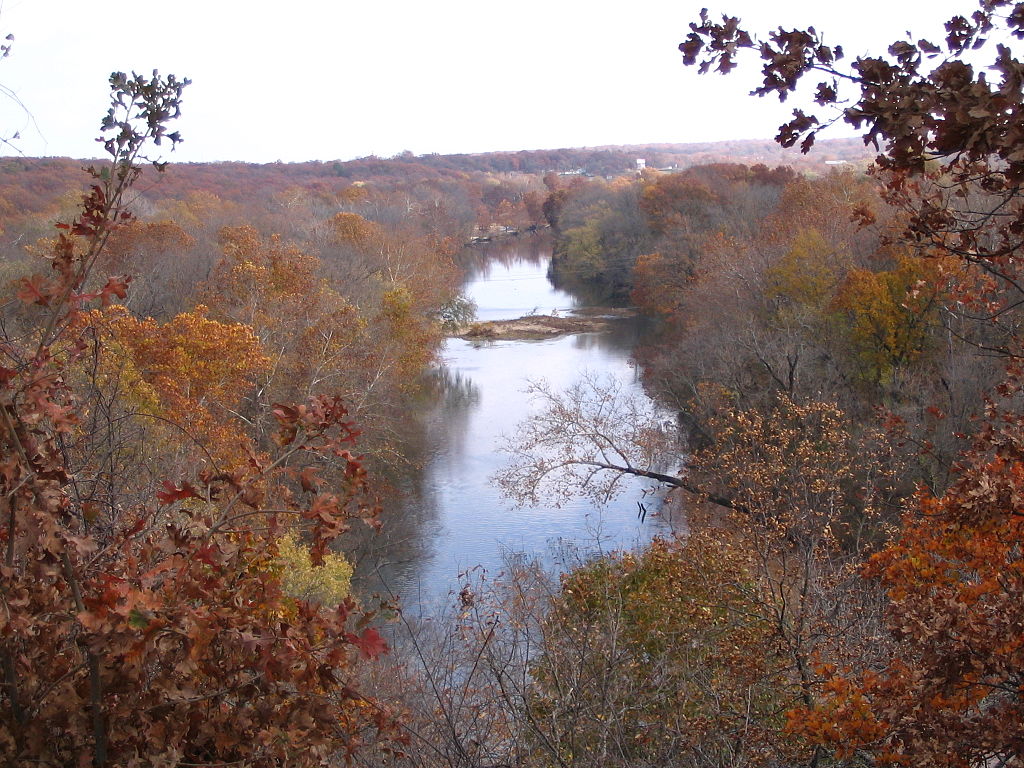
Osage Fork Conservation Area Access provides a primitive boat launch and parking area adjacent to the Route B Bridge on the Osage Fork River, offering small boat and canoe access along with bank fishing opportunities at rocky areas and root wads.
The area features bottomland timber and has been planted with native trees for bank stabilization. Access is located 5 miles east of Lebanon on Highway 32, then 6. 8 miles south on Route B to the downstream side of the bridge.
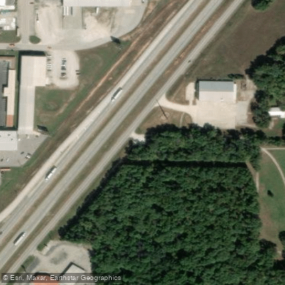
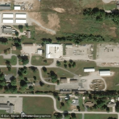
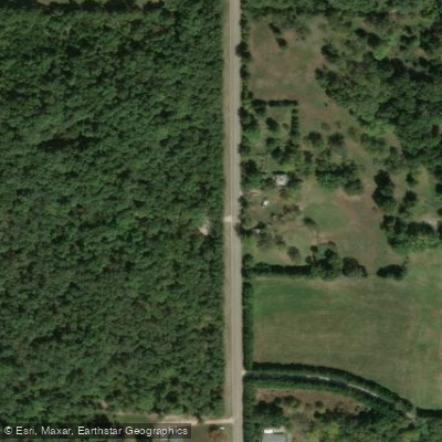
Nearby points of interest
Find excellent fishing spots, easy access to boat ramps, and all the amenities you need for a memorable day. Your adventure starts here.
Water and weather conditions (10 day forecast)
Check the forecast at Osage Fork Conservation Area Access before you go fishing.
No forecast data available.
Fishing near Osage Fork Conservation Area Access
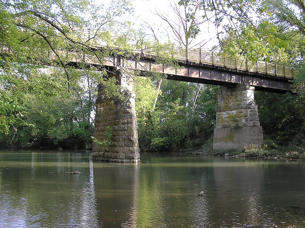
Sac River
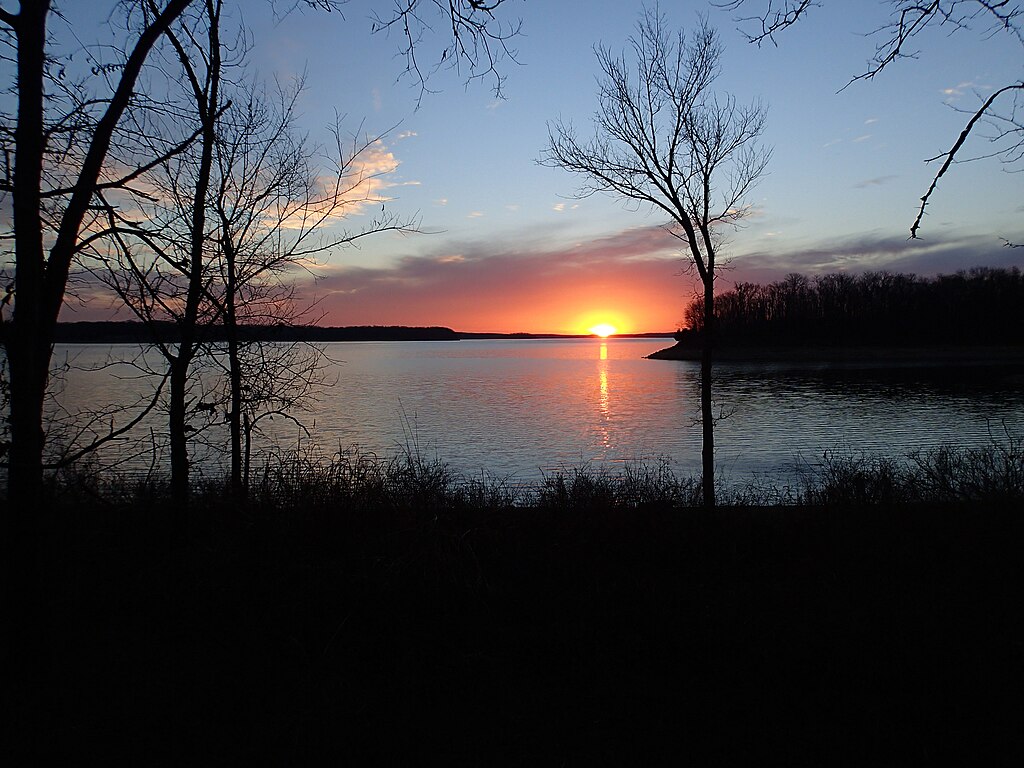
Stockton Lake
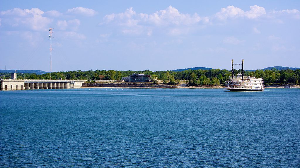
Table Rock Lake
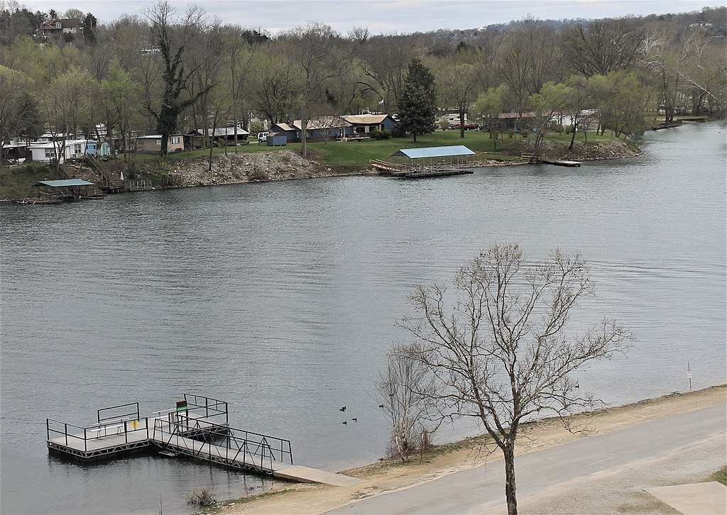
Lake Taneycomo
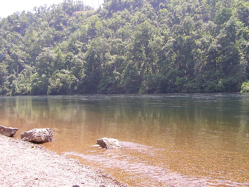
White River
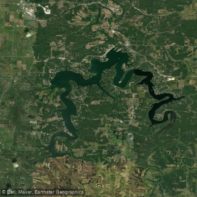
Pomme de Terre Lake
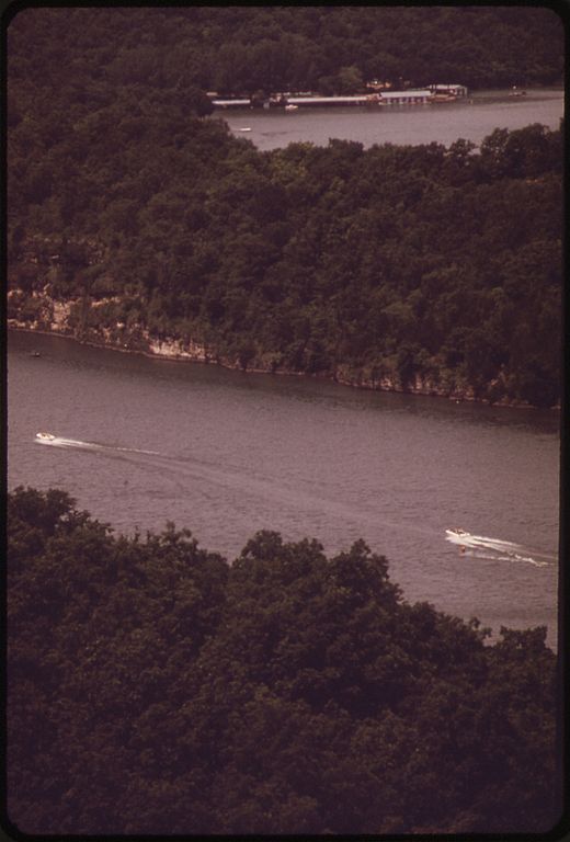
Niangua River
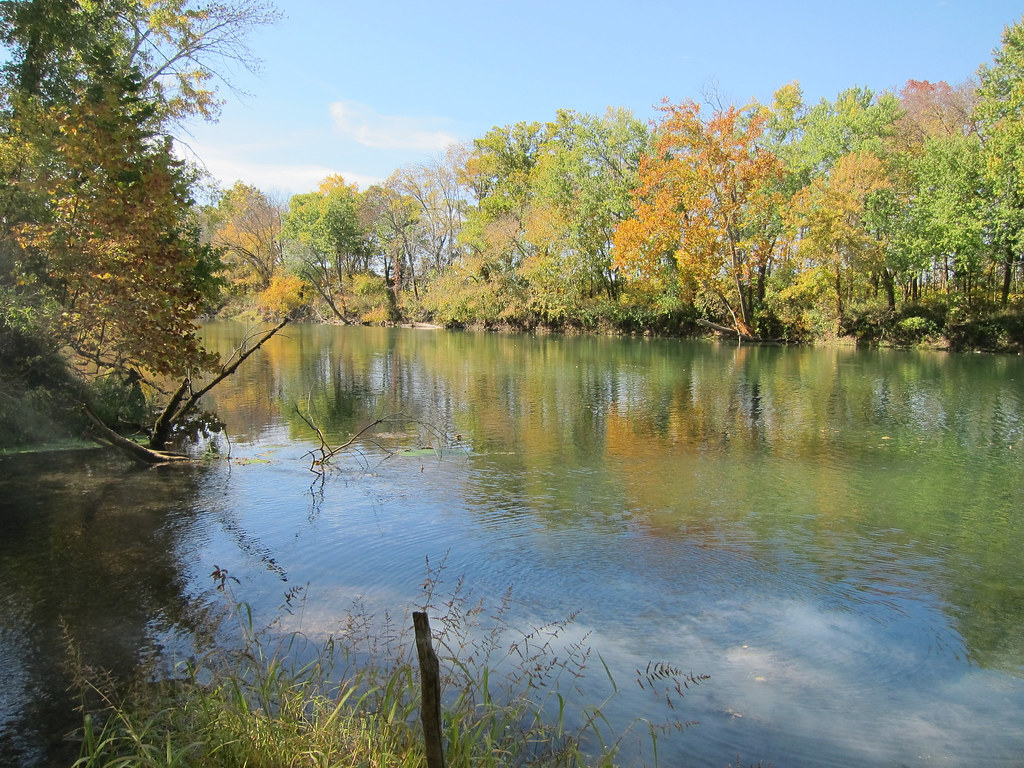
Gasconade River
Shoal Creek
Lake Springfield
Missouri licenses and regulations
Explore Missouri waters
Top fishing waters
No waters available right now.
Popular Cities
Loading popular cities...
Explore near Osage Fork Conservation Area Access
Nearby spots
Nearby waters
More in Missouri

Smarter Fishing Starts in the App.
onWater Fish gives you everything you need to plan smarter, fish better, and own every trip from first cast to last.