Meramec Conservation Area Access
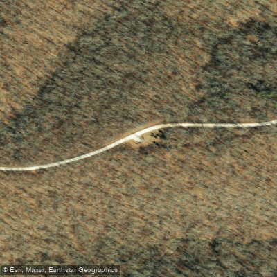
Meramec Conservation Area Access
Meramec Conservation Area Access provides multiple entry points to a 4,045-acre conservation area along the Meramec River, with ten gravel parking lots (one ADA-accessible) and boat launch access for non-motorized craft including canoes, kayaks, and paddleboards, plus electric motors on larger waters.
The area features a 1. 3-mile paved ADA-accessible Woodland Trail along the river bottom, a 10.
4-mile multi-use trail system, and river access points at Sand Ford and Fife Bottom for fishing and paddling, though the steep western bluff limits walk-in access in many sections. Open daily 4 a. m. to 10 p. m.
(24-hour access for authorized fishing and boating), located south of Sullivan on Highway 185 near Franklin County.
Nearby points of interest
Find excellent fishing spots, easy access to boat ramps, and all the amenities you need for a memorable day. Your adventure starts here.
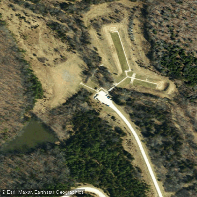
Little Indian Creek Conservation Area Access
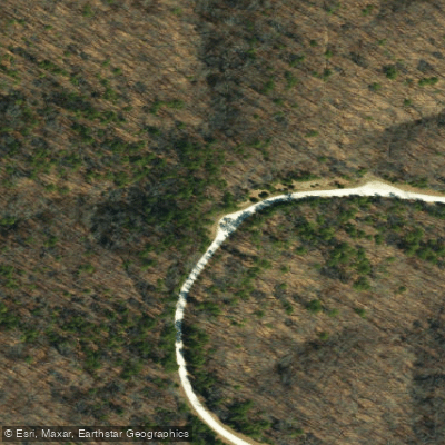
Little Indian Creek Conservation Area Access
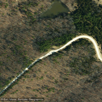
Little Indian Creek Conservation Area Access
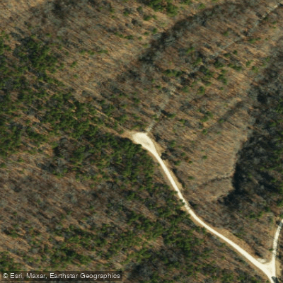
Little Indian Creek Conservation Area Access
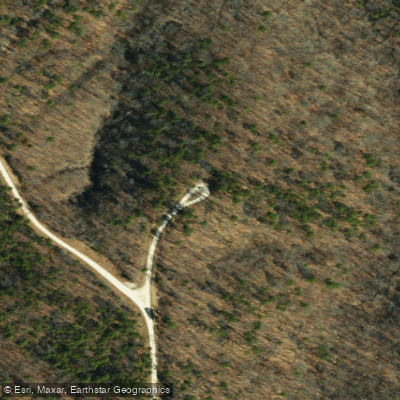
Little Indian Creek Conservation Area Access
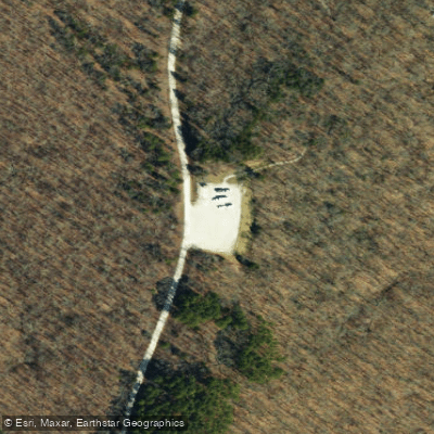
Meramec Conservation Area Access
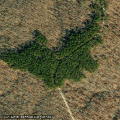
Meramec Conservation Area Access
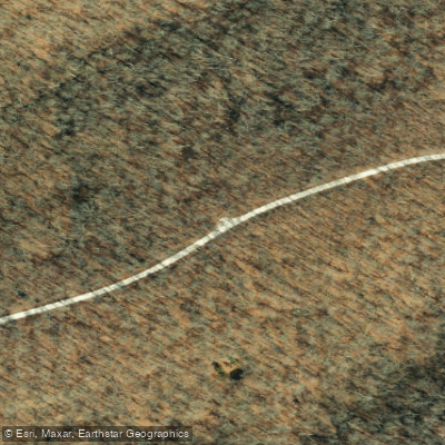
Meramec Conservation Area Access
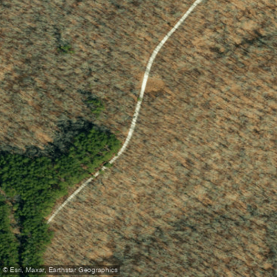
Meramec Conservation Area Access
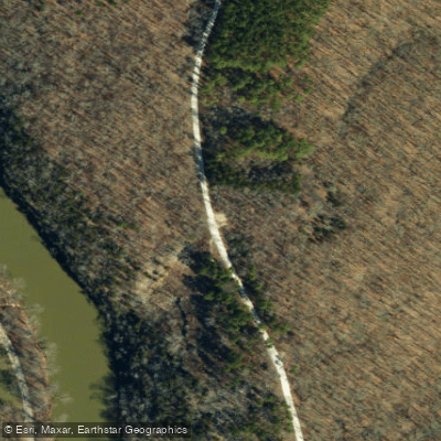
Meramec Conservation Area Access
Water and weather conditions (10 day forecast)
Check the forecast at Meramec Conservation Area Access before you go fishing.
No forecast data available.
Fishing near Meramec Conservation Area Access

Missouri River
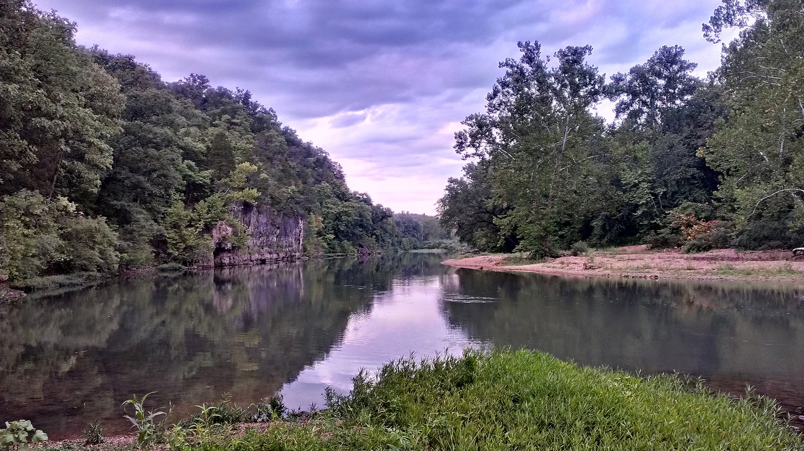
Meramec River
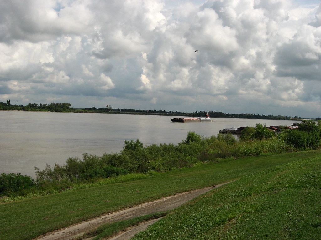
Mississippi River
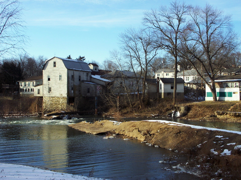
Big River
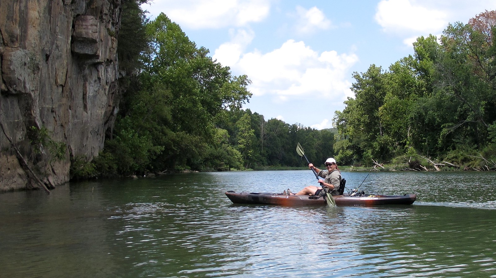
Illinois River
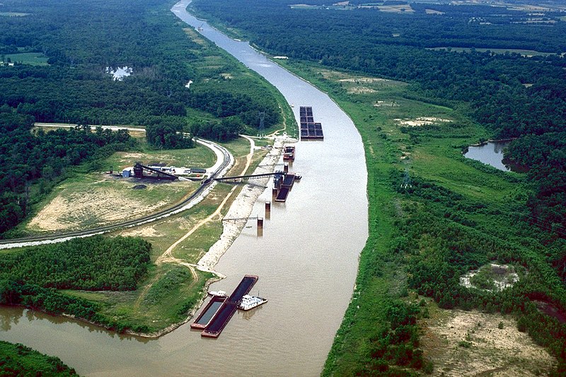
Kaskaskia River
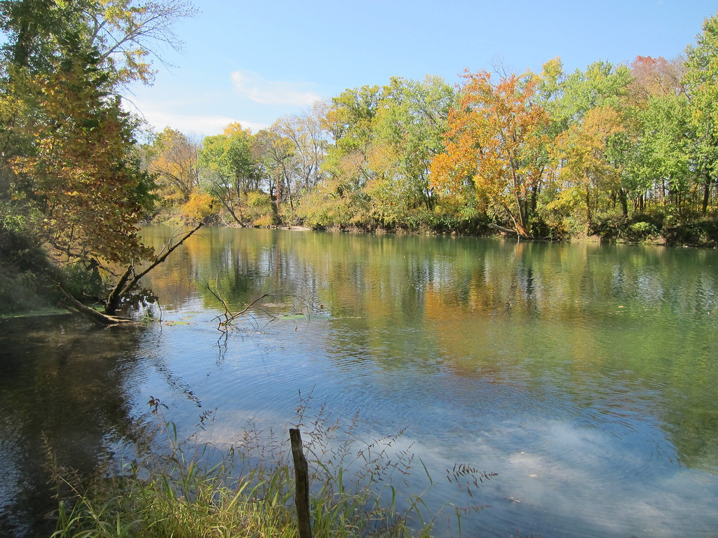
Gasconade River
Creve Coeur Lake
Kraut Run Lake
Bourbeuse River
Missouri licenses and regulations
Explore Missouri waters
Top fishing waters
No waters available right now.
Popular Cities
Loading popular cities...
Explore near Meramec Conservation Area Access
Nearby spots
Nearby waters
More in Missouri

Smarter Fishing Starts in the App.
onWater Fish gives you everything you need to plan smarter, fish better, and own every trip from first cast to last.