Lead Mine Conservation Area Access
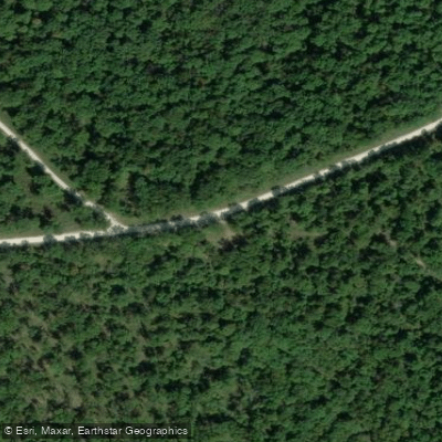
Lead Mine Conservation Area Access
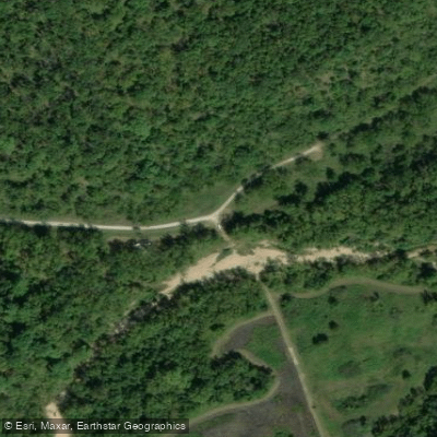
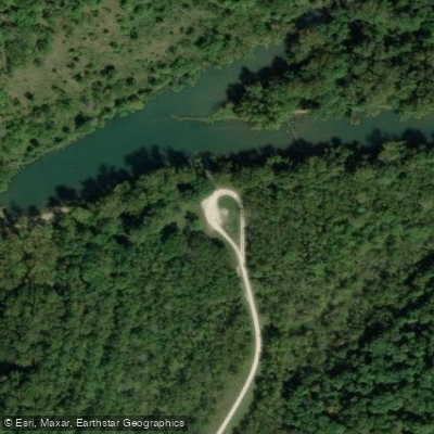
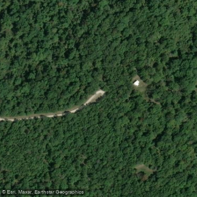
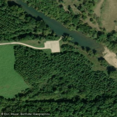
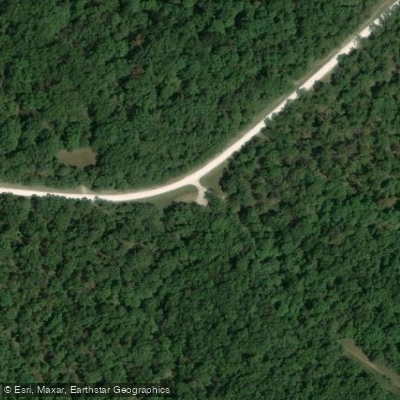
Lead Mine Conservation Area provides approximately two miles of Niangua River frontage with river access available, plus a 3. 5-mile stretch of Jakes Creek running through the 7,761-acre property.
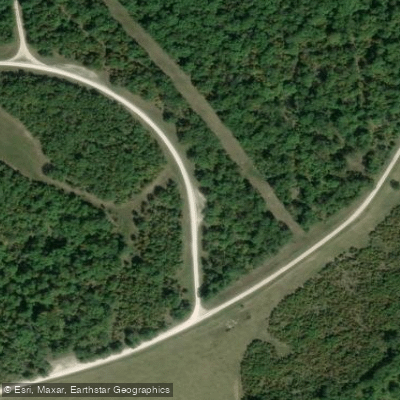
The area offers five primitive camping areas (with the main campground featuring 50 sites) on a first-come, first-served basis, multiple multi-use trails for hiking and biking, and an unstaffed shooting range.
Access is available from two entrances: the southwest entrance via Highway 64 and Route YY from Plad, or the northeast entrance via Highway 5 and Bluff Trail from Lebanon.
Nearby points of interest
Find excellent fishing spots, easy access to boat ramps, and all the amenities you need for a memorable day. Your adventure starts here.
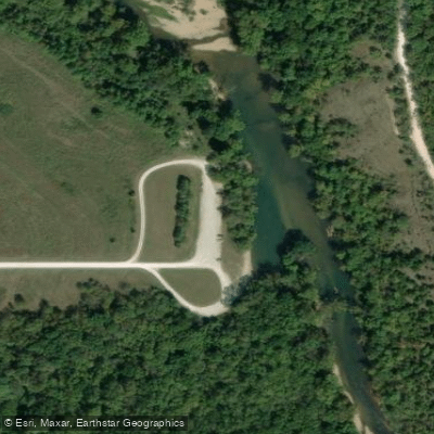
Barclay Conservation Area Access
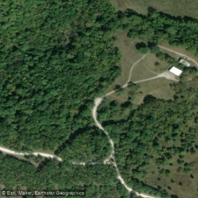
Barclay Conservation Area Access
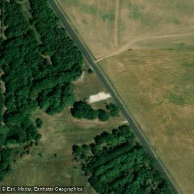
Branch Towersite Access
Lead Mine Conservation Area Access
Lead Mine Conservation Area Access
Lead Mine Conservation Area Access
Lead Mine Conservation Area Access
Lead Mine Conservation Area Access
Lead Mine Conservation Area Access
Lead Mine Conservation Area Access
Water and weather conditions (10 day forecast)
Check the forecast at Lead Mine Conservation Area Access before you go fishing.
No forecast data available.
Fishing near Lead Mine Conservation Area Access
Sac River
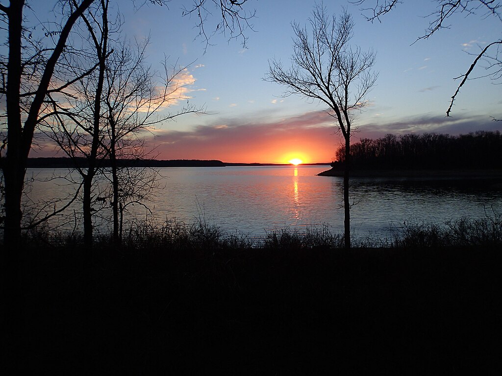
Stockton Lake
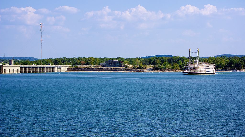
Table Rock Lake
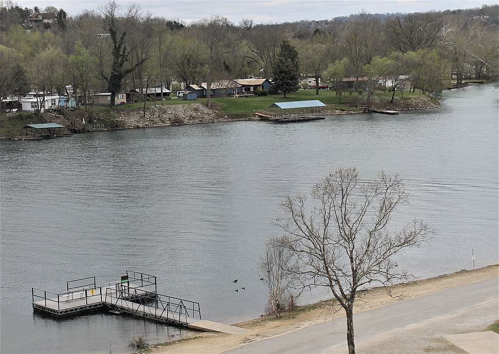
Lake Taneycomo
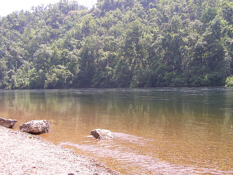
White River
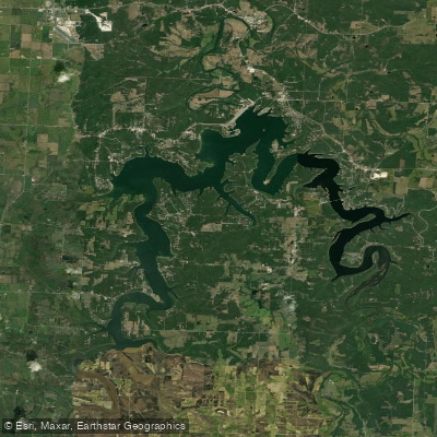
Pomme de Terre Lake
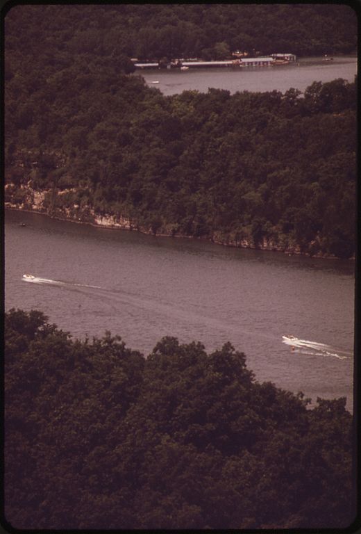
Niangua River
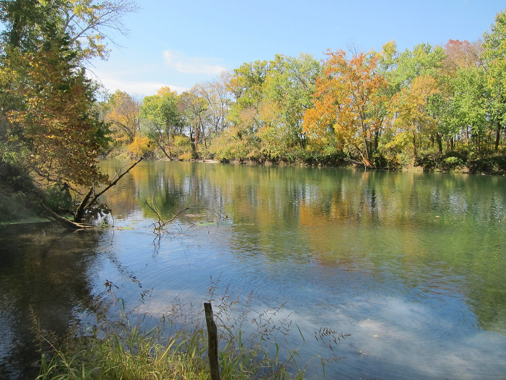
Gasconade River
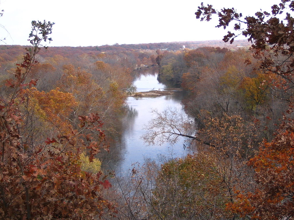
Shoal Creek
Lake Springfield
Missouri licenses and regulations
Explore Missouri waters
Top fishing waters
No waters available right now.
Popular Cities
Loading popular cities...
Explore near Lead Mine Conservation Area Access
Nearby spots
- Barclay Conservation Area Boat Ramp
- Berry Bluff Boat Ramp
- Lead Mine Conservation Area Boat Ramp
- Prosperine Access Boat Ramp
- Barclay Conservation Area Access
- Branch Towersite Access
- Lead Mine Conservation Area Access
- Prosperine Access
- Lead Mine Camp Site
- Barclay Conservation Area Parking
- Lead Mine Conservation Area Parking
Nearby waters
More in Missouri

Smarter Fishing Starts in the App.
onWater Fish gives you everything you need to plan smarter, fish better, and own every trip from first cast to last.