Lamine River Conservation Area Access
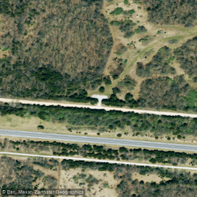
Lamine River Conservation Area Access
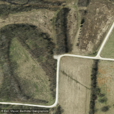
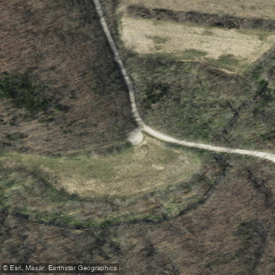
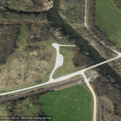
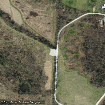
Lamine River Conservation Area offers multiple access points across 6,070 acres in Cooper and Morgan counties, with 20 parking lots and four primitive camping areas (no amenities) distributed north and south of US 50.
The area features diverse habitats including riparian corridors, wetlands, and old fields with several undeveloped trails for exploration, though visitors should note that low-lying areas are prone to flooding and may be inaccessible after heavy rain.
Plan your visit carefully as the scattered tracts require significant driving between sections; a map is essential.
Nearby points of interest
Find excellent fishing spots, easy access to boat ramps, and all the amenities you need for a memorable day. Your adventure starts here.
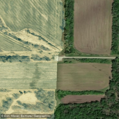
Lamine River Conservation Area Access
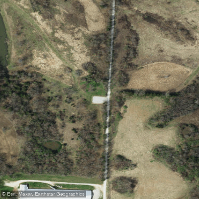
Lamine River Conservation Area Access
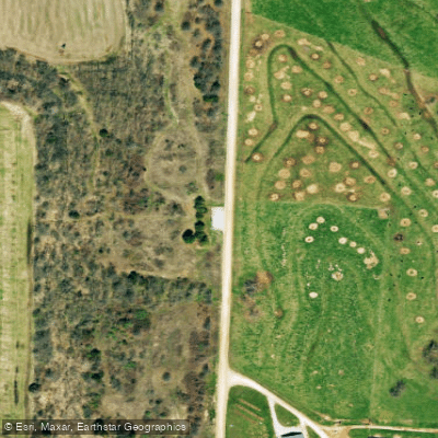
Lamine River Conservation Area Access
Lamine River Conservation Area Access
Lamine River Conservation Area Access
Lamine River Conservation Area Access
Lamine River Conservation Area Access
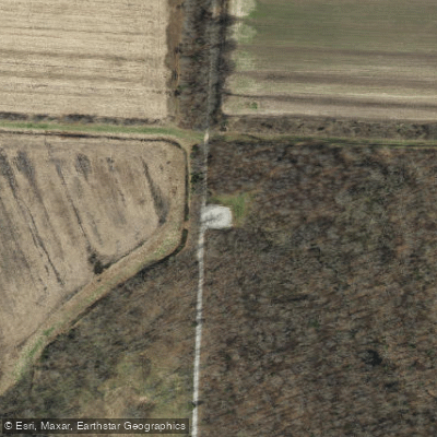
Lamine River Conservation Area Access
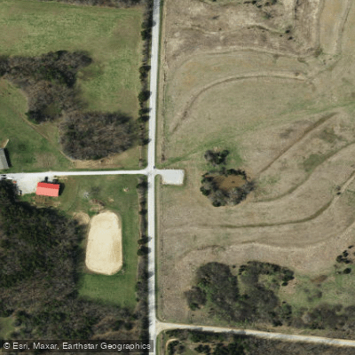
Lamine River Conservation Area Access
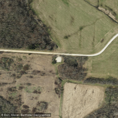
Lamine River Conservation Area Access
Water and weather conditions (10 day forecast)
Check the forecast at Lamine River Conservation Area Access before you go fishing.
No forecast data available.
Fishing near Lamine River Conservation Area Access
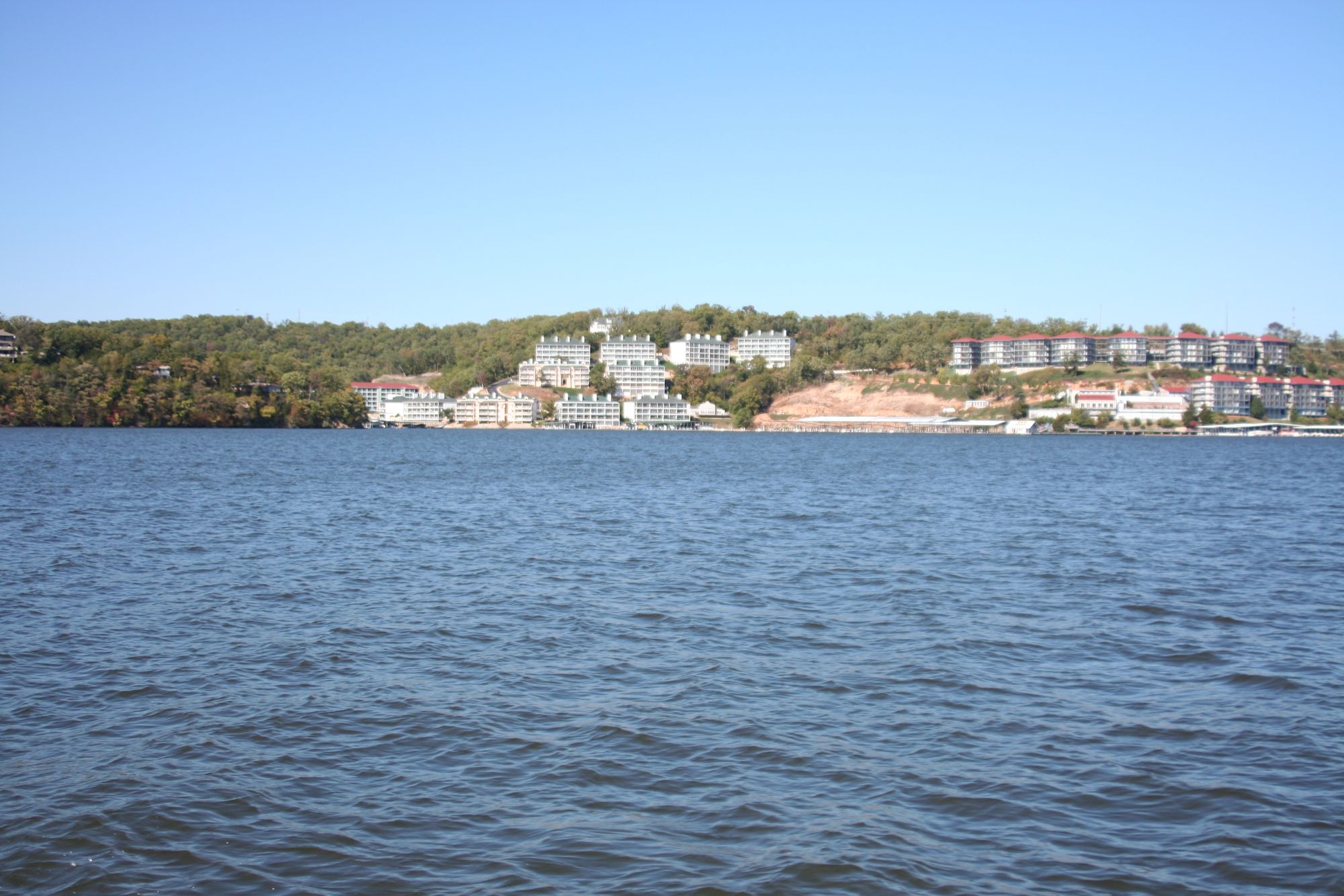
Lake of the Ozarks

Missouri River
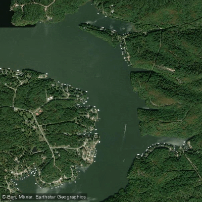
Osage River
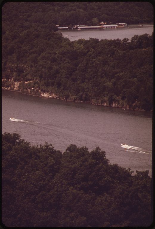
Niangua River
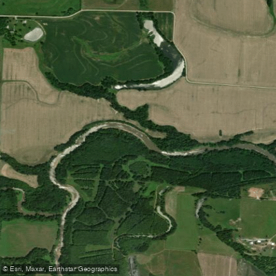
Lamine River
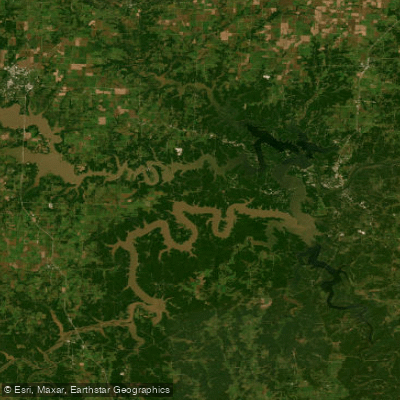
Harry S Truman Reservoir
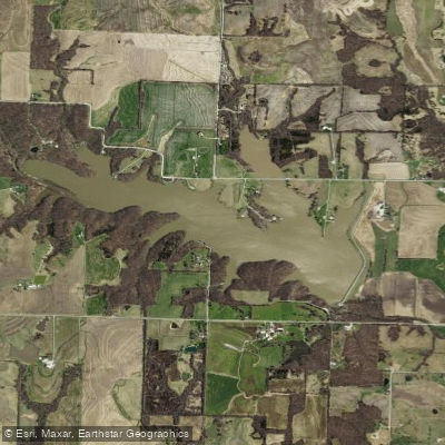
Edwin A Pape Lake
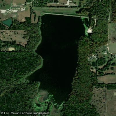
Spring Fork Lake
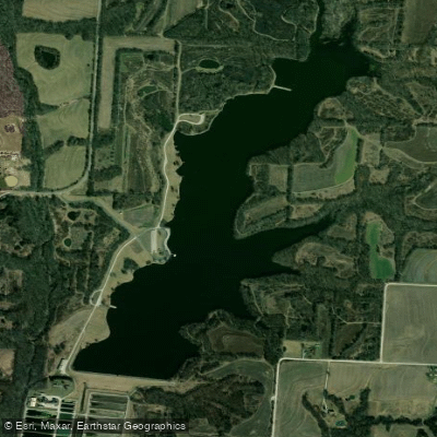
Blind Pony Lake
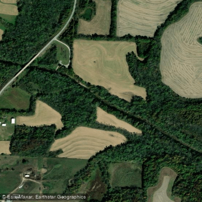
Blackwater River
Missouri licenses and regulations
Explore Missouri waters
Top fishing waters
No waters available right now.
Popular Cities
Loading popular cities...
Explore near Lamine River Conservation Area Access
Nearby spots
Nearby waters
More in Missouri

Smarter Fishing Starts in the App.
onWater Fish gives you everything you need to plan smarter, fish better, and own every trip from first cast to last.