Columbia Bottom Conservation Area Access
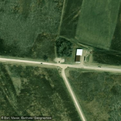
Columbia Bottom Conservation Area Access
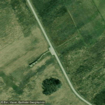
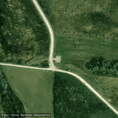
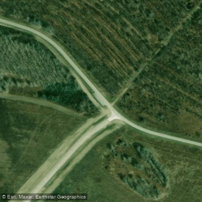
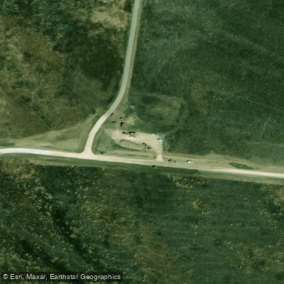
Columbia Bottom Conservation Area offers public access to the Missouri and Mississippi Rivers at their confluence in north St.
Louis County, featuring a concrete boat ramp on the Missouri River and a separate canoe/kayak access point on the Mississippi River (seasonal closure October 15 through end of duck season). The area provides 6.
5 miles of river frontage with paved and gravel roads, parking areas, and a visitor center, though flooding has impacted some facilities and the area is open 30 minutes before sunrise to 30 minutes after sunset daily.
Nearby points of interest
Find excellent fishing spots, easy access to boat ramps, and all the amenities you need for a memorable day. Your adventure starts here.
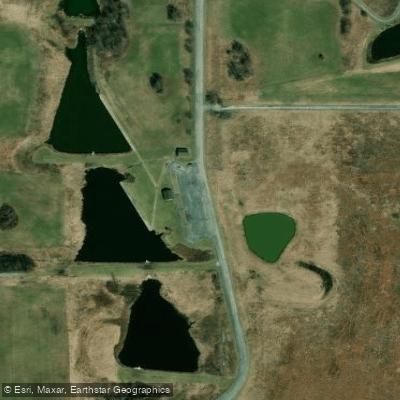
Bellefontaine Conservation Area Access
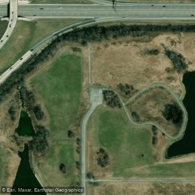
Bellefontaine Conservation Area Access
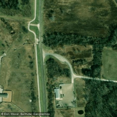
Colimbia Bottom Conservation Area Access
Columbia Bottom Conservation Area Access
Columbia Bottom Conservation Area Access
Columbia Bottom Conservation Area Access
Columbia Bottom Conservation Area Access
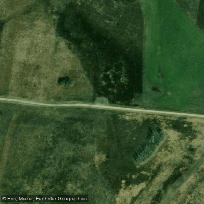
Columbia Bottom Conservation Area Access
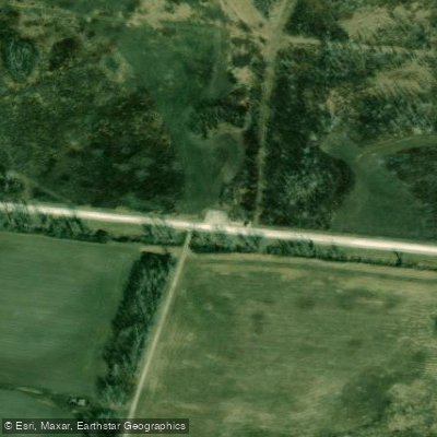
Columbia Bottom Conservation Area Access
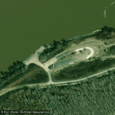
Columbia Bottom Conservation Area Access
Water and weather conditions (10 day forecast)
Check the forecast at Columbia Bottom Conservation Area Access before you go fishing.
No forecast data available.
Fishing near Columbia Bottom Conservation Area Access
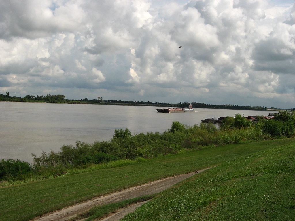
Mississippi River

Missouri River
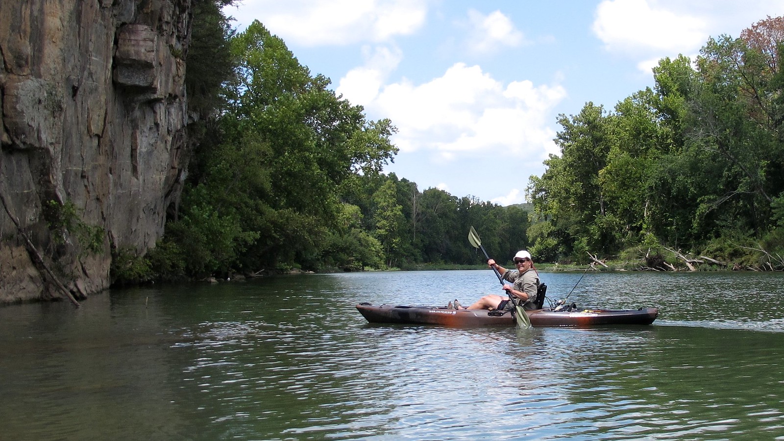
Illinois River
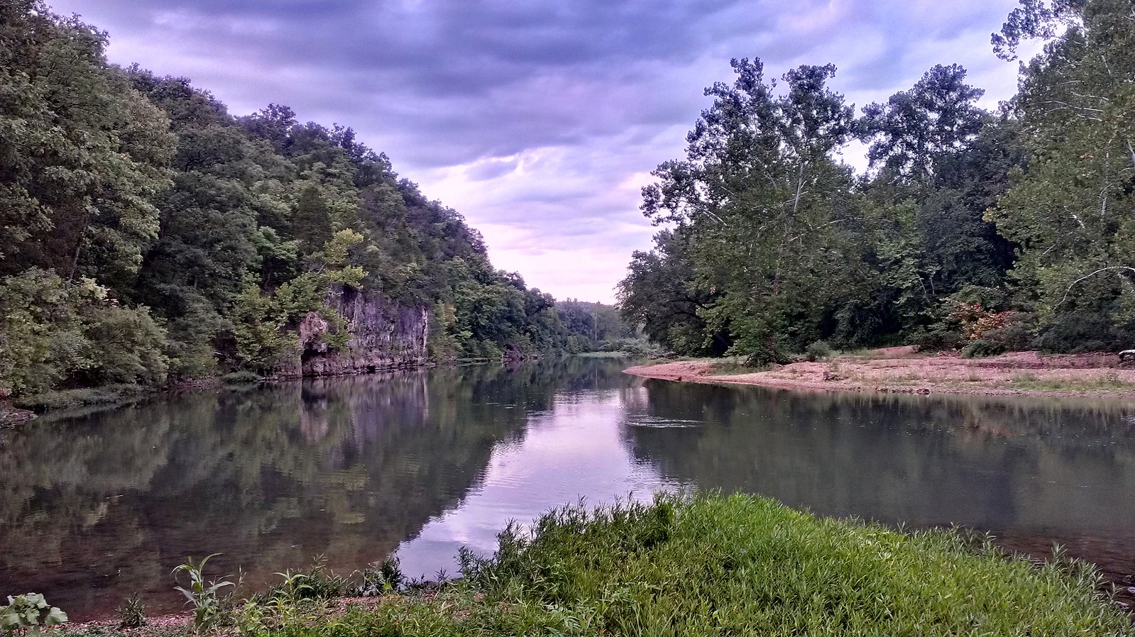
Meramec River
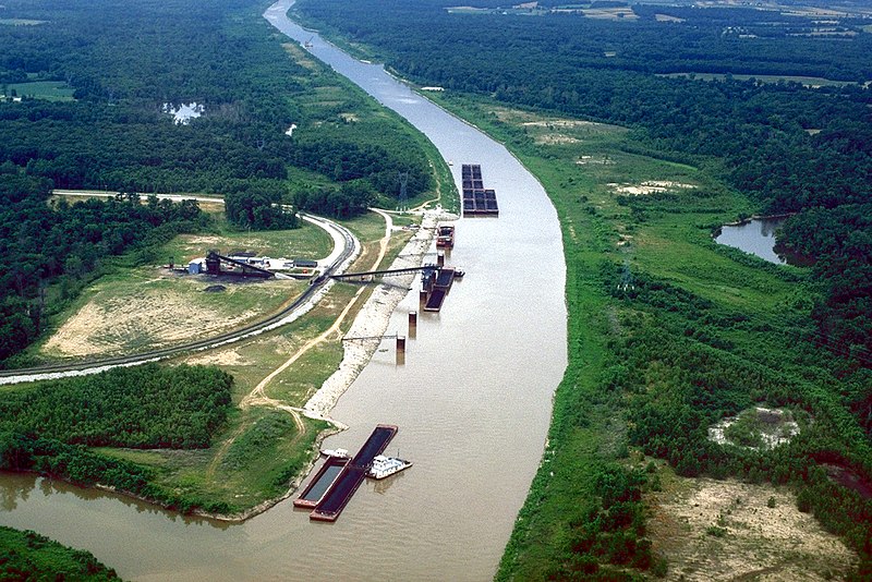
Kaskaskia River
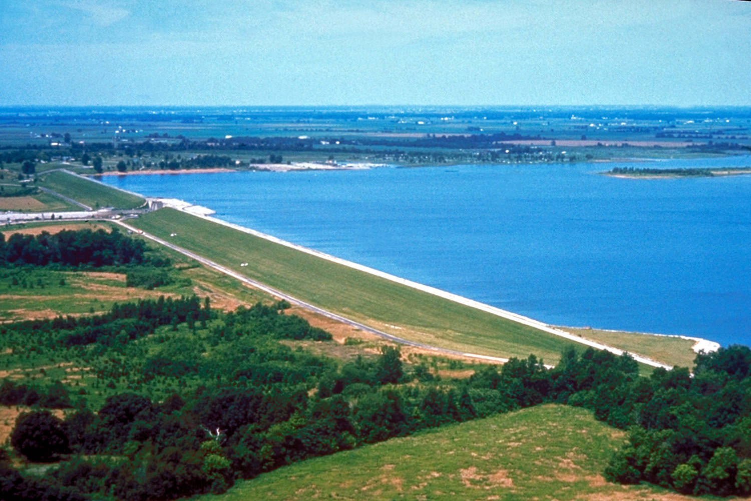
Carlyle Lake
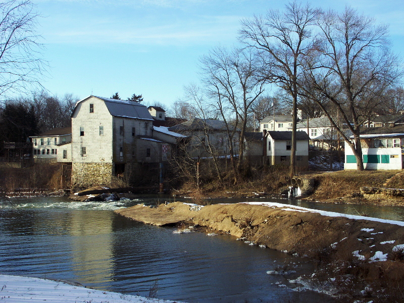
Big River
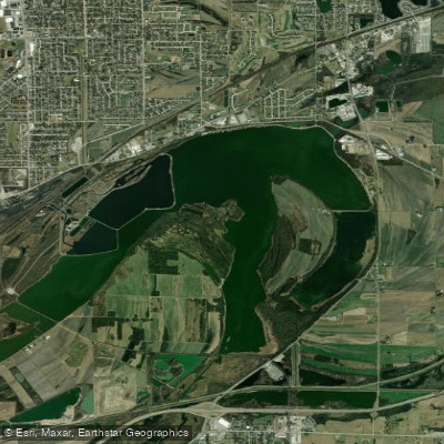
Horseshoe Lake
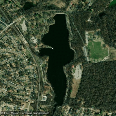
Spanish Lake
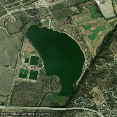
Creve Coeur Lake
Missouri licenses and regulations
Explore Missouri waters
Top fishing waters
No waters available right now.
Popular Cities
Loading popular cities...
Explore near Columbia Bottom Conservation Area Access
Nearby spots
Nearby waters
More in Missouri

Smarter Fishing Starts in the App.
onWater Fish gives you everything you need to plan smarter, fish better, and own every trip from first cast to last.