Castor River Conservation Area Access
Castor River Conservation Area Access
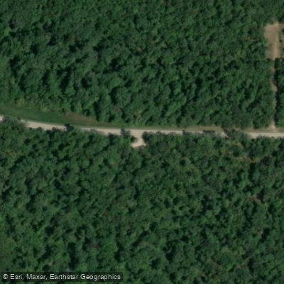
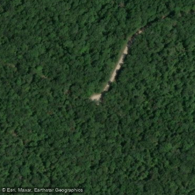
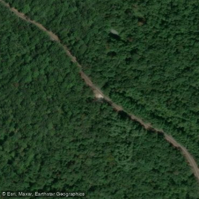
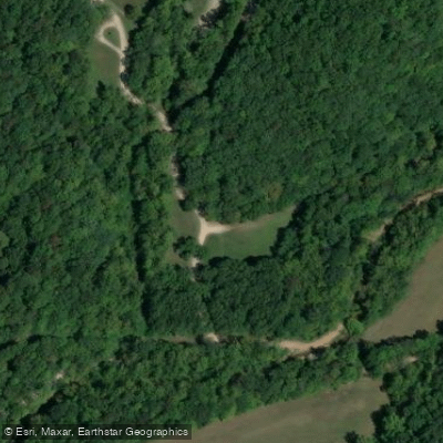
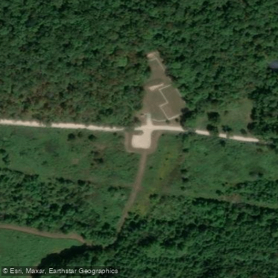
Castor River Conservation Area Access provides multiple entry points to a 9,989-acre area with primitive camping, multi-use trails, and fishing opportunities.
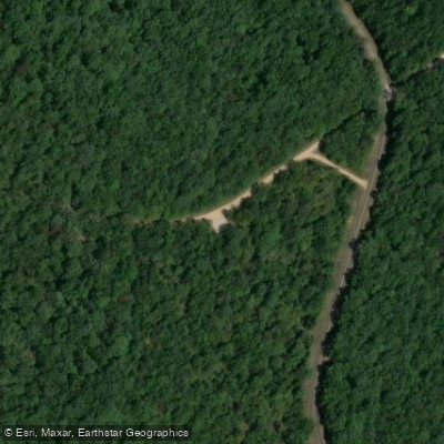
Access the Trace Creek Camping Area via County Road 822 for riparian stream habitat, or use Route Y south from Highway 34 to reach the Horse Camping Area, Shooting Range, and Blue Pond Natural Area.
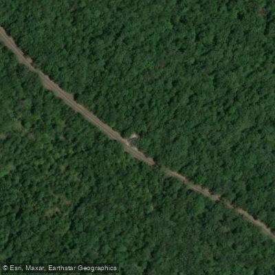
The area features vault toilets at designated camping areas, gravel and service roads suitable for walking, and seasonal road closures—note that ticks and chiggers are abundant in tall grass and wooded areas during summer and fall.
Nearby points of interest
Find excellent fishing spots, easy access to boat ramps, and all the amenities you need for a memorable day. Your adventure starts here.
Castor River Conservation Area Access
Castor River Conservation Area Access
Castor River Conservation Area Access
Castor River Conservation Area Access
Castor River Conservation Area Access
Castor River Conservation Area Access
Castor River Conservation Area Access
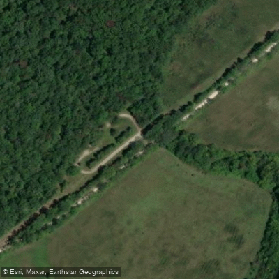
Castor River Conservation Area Access
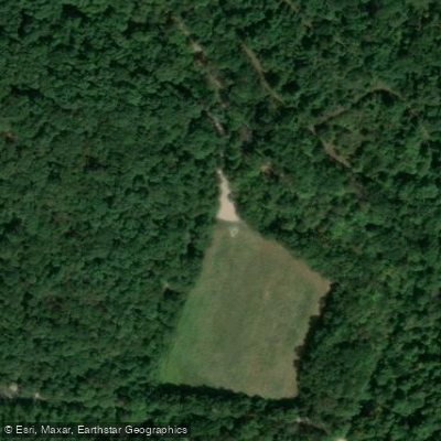
Castor River Conservation Area Access
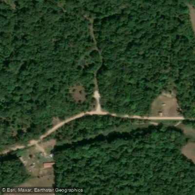
Castor River Conservation Area Access
Water and weather conditions (10 day forecast)
Check the forecast at Castor River Conservation Area Access before you go fishing.
No forecast data available.
Fishing near Castor River Conservation Area Access
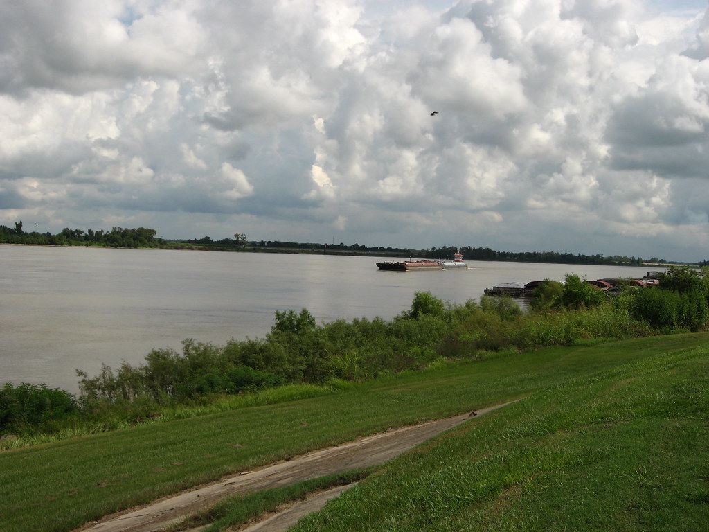
Mississippi River
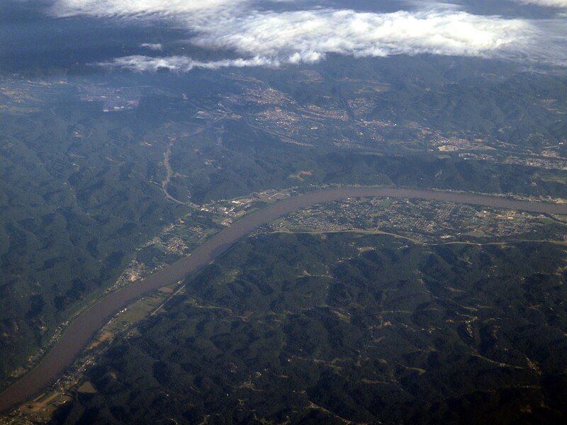
Ohio River
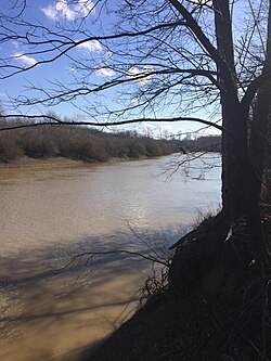
Big Muddy River
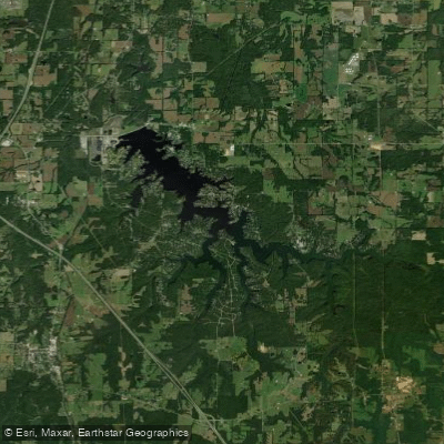
Lake of Egypt
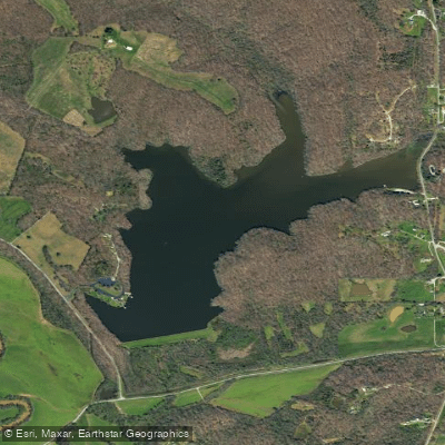
Lake Girardeau
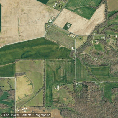
Castor River Diversion Channel
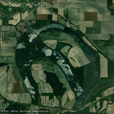
Horseshoe Lake
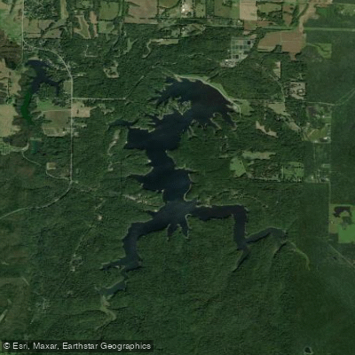
Little Grassy Lake
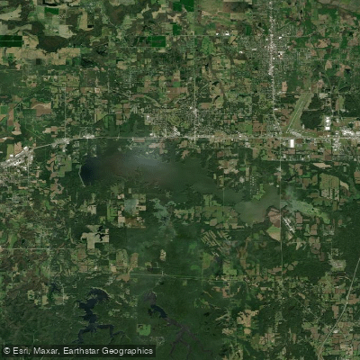
Crab Orchard Lake
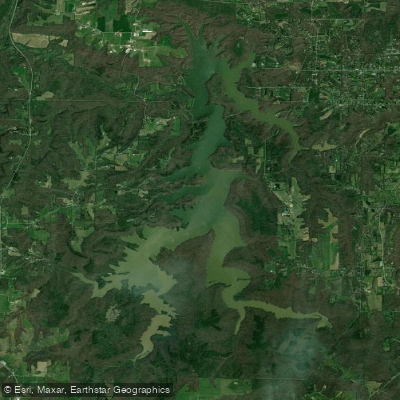
Cedar Lake
Missouri licenses and regulations
Explore Missouri waters
Top fishing waters
No waters available right now.
Popular Cities
Loading popular cities...
Explore near Castor River Conservation Area Access
Nearby spots
Nearby waters
More in Missouri

Smarter Fishing Starts in the App.
onWater Fish gives you everything you need to plan smarter, fish better, and own every trip from first cast to last.