Capps Creek Conservation Area Access
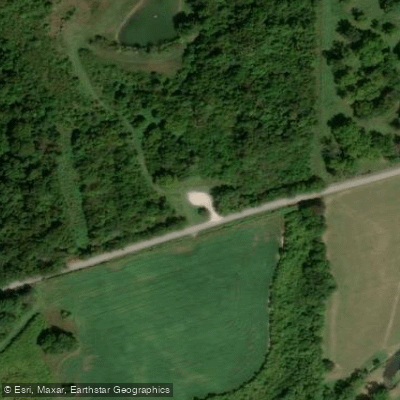
Capps Creek Conservation Area Access
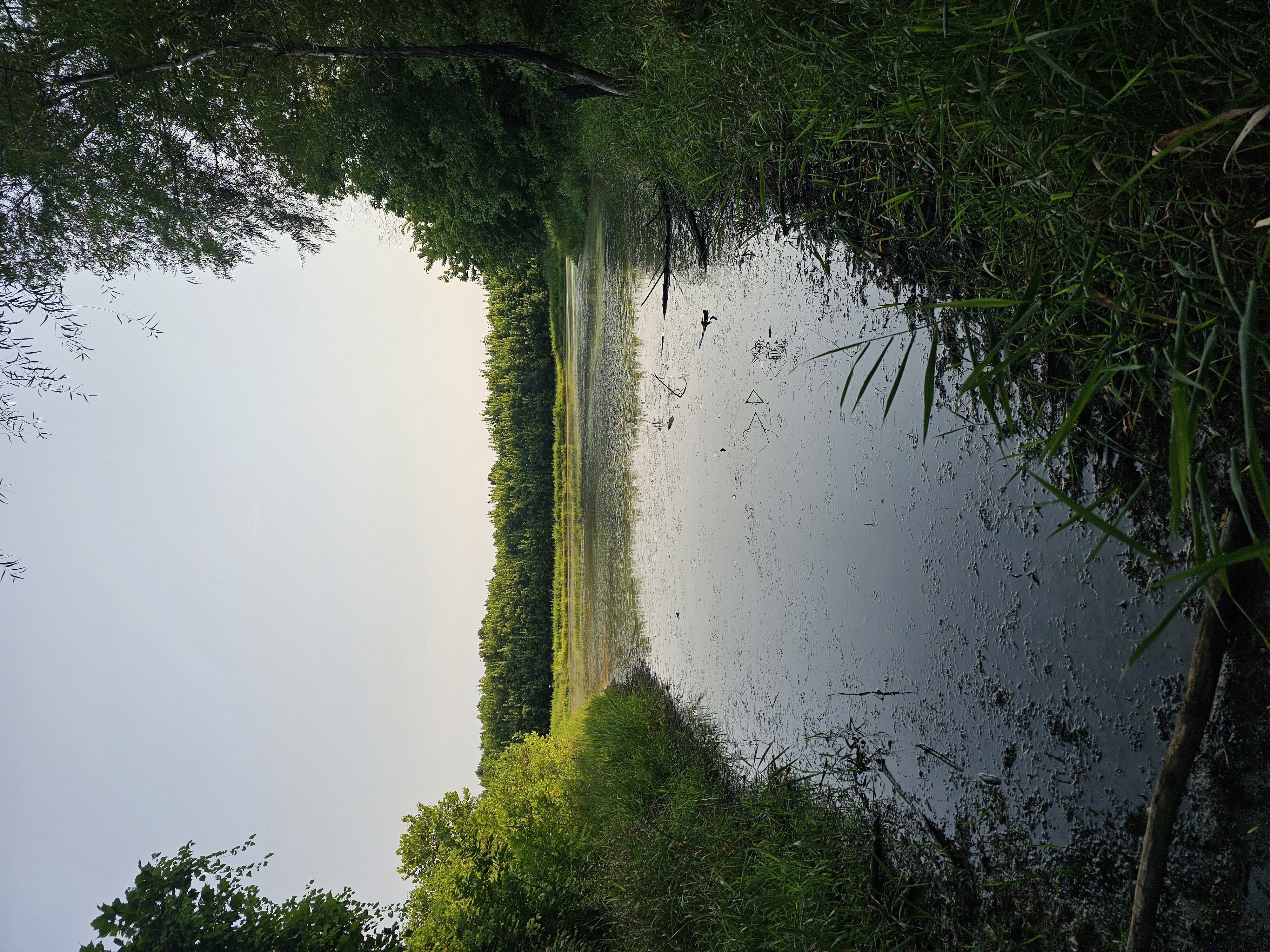
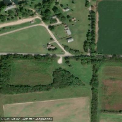
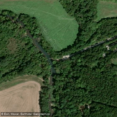
Capps Creek Conservation Area provides approximately 2 miles of access to Capps Creek and 0. 2 miles of access to Shoal Creek for fishing and paddling.
The 707-acre area features forest, old fields, and wetlands with two permanent streams suitable for canoeing and wading. Access is located 7. 5 miles west of Monett on Highway 60, then 1. 75 miles south on Wallaby Road to its junction with Jolly Mill Road.
Nearby points of interest
Find excellent fishing spots, easy access to boat ramps, and all the amenities you need for a memorable day. Your adventure starts here.
Water and weather conditions (10 day forecast)
Check the forecast at Capps Creek Conservation Area Access before you go fishing.
No forecast data available.
Fishing near Capps Creek Conservation Area Access
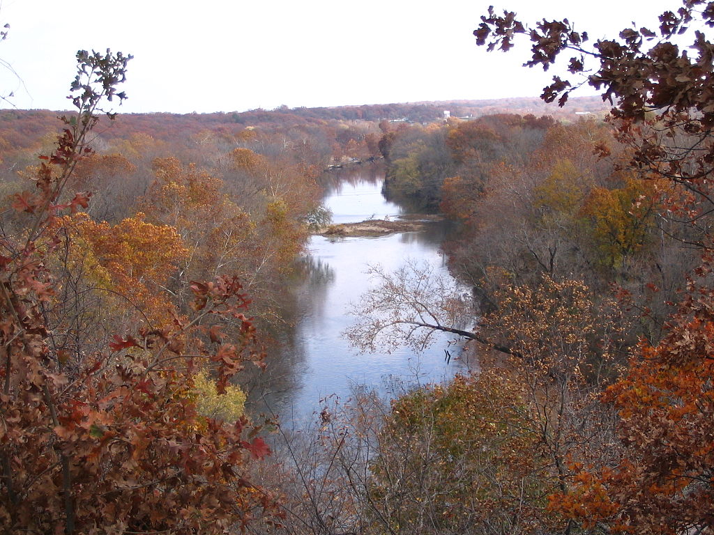
Shoal Creek
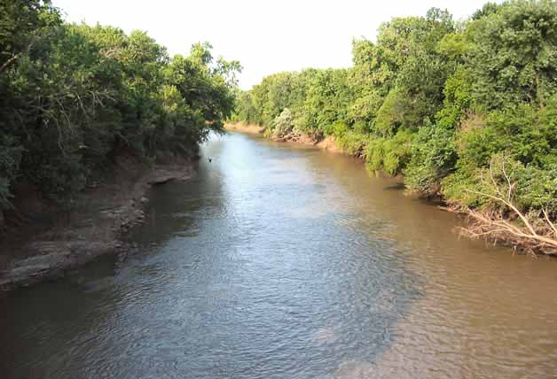
Neosho River
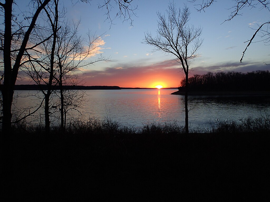
Stockton Lake
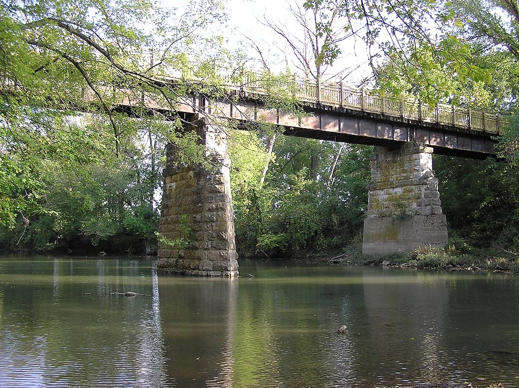
Sac River
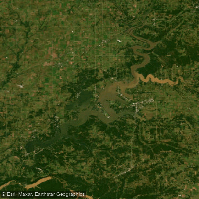
Grand Lake O' The Cherokees
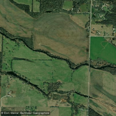
Spring River
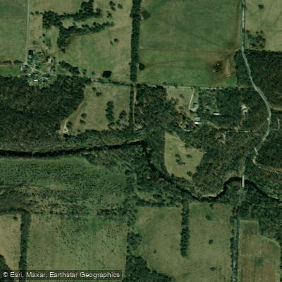
Center Creek
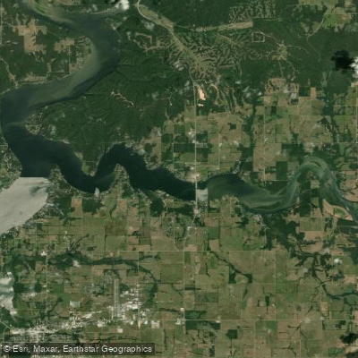
Lake O the Cherokees
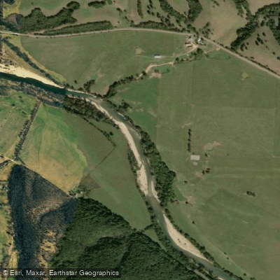
Elk River
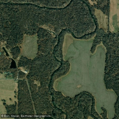
North Fork Spring River
Missouri licenses and regulations
Explore Missouri waters
Top fishing waters
No waters available right now.
Popular Cities
Loading popular cities...
Explore near Capps Creek Conservation Area Access
Nearby spots
Nearby waters
More in Missouri

Smarter Fishing Starts in the App.
onWater Fish gives you everything you need to plan smarter, fish better, and own every trip from first cast to last.