Mississippi Sound
- Saltwater
- Sound
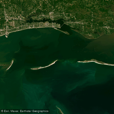
Mississippi Sound
- Saltwater
- Sound
- Sq. miles
- 839
- Boat Ramps
- 11
- Access Points
- 0
- Species
- 52
The Mississippi Sound is a 90-mile-long estuarine arm of the Gulf of Mexico, extending from the Louisiana border to the Dauphin Island Bridge in Alabama. This vast, partially enclosed coastal body is defined by the dynamic mixing of freshwater from rivers and streams with saltwater from the ocean. This estuarine environment creates a uniquely productive ecosystem that serves as a vital nursery and habitat for a wide array of marine life. The Sound's health is foundational to the region's commercial seafood industry, recreational fishing, and coastal tourism, supporting a way of life deeply connected to these waters.
Species & education
Learn what type of fish are at Mississippi Sound and what's needed to catch them.

Find which waters have the species you want to catch

Almaco Jack
Seriola rivoliana

Atlantic Croaker
Micropogonias undulatus

Atlantic Sharpnose Shark
Rhizoprionodon terraenovae

Atlantic Spadefish
Chaetodipterus faber

Black Drum
Pogonias cromis

Black Grouper
Mycteroperca bonaci

Black Sea Bass
Centropristis striata

Blackfin Tuna
Thunnus atlanticus

Blacktip Shark
Carcharhinus limbatus

Blue Marlin
Makaira nigricans

Blue Runner
Caranx crysos

Bluefish
Pomatomus saltatrix

Bonnethead
Sphyrna tiburo

Bull Shark
Carcharhinus leucas

Cobia
Rachycentron canadum

Crevalle Jack
Caranx hippos

Florida Pompano
Trachinotus carolinus

Gag Grouper
Mycteroperca microlepis

Gray Triggerfish
Balistes capriscus

Great Barracuda
Sphyraena barracuda

Greater Amberjack
Seriola dumerili

King Mackerel
Scomberomorus cavalla

Ladyfish
Elops saurus

Lane Snapper
Lutjanus synagris

Little Tunny
Euthynnus alletteratus

Lookdown
Selene vomer

Mahi-Mahi
Coryphaena hippurus

Mangrove Snapper
Lutjanus griseus

Northern Kingfish
Menticirrhus saxatilis

Permit
Trachinotus falcatus

Pigfish
Orthopristis chrysoptera

Pinfish
Lagodon rhomboides

Red Grouper
Epinephelus morio

Red Snapper
Lutjanus campechanus

Redfish
Sciaenops ocellatus

Sandbar Shark
Carcharhinus plumbeus

Scamp
Mycteroperca phenax

Sheepshead
Archosargus probatocephalus

Skipjack Tuna
Katsuwonus pelamis

Snowy Grouper
Hyporthodus niveatus
Fishing spots, boat ramps & amenities
Learn how to get on Mississippi Sound. Uncover great fishing access points, boat ramps, and all the facilities you need for an unforgettable day on the water. Some locations shown may border or include private property. Always check property boundaries and applicable regulations before visiting. onWater's Public & Private Land layer can help you plan your access with confidence.
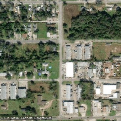
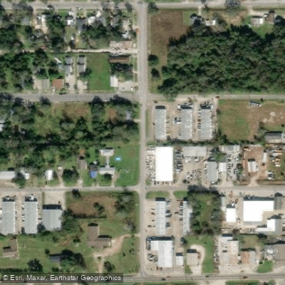
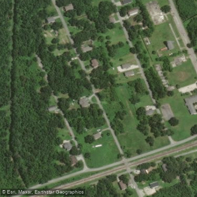
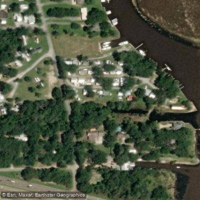
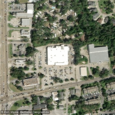
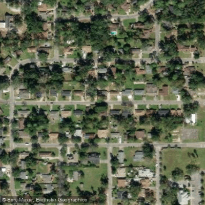
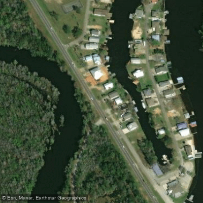
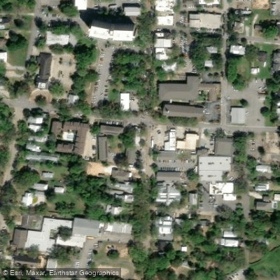
Know where you can legally fish on Mississippi Sound
See public and private land boundaries along the water, turn on private parcels with owner details to know where permission is required, and find land-trust parcels that offer permitted fishing access.
Mississippi licenses and regulations

Mississippi Boating Regulations
When using any type of watercraft to access a body of water, it is important to follow all federal, state, and local rules and regulations. These rules and regulations include boat permitting and licensing, invasive species inspections and stamps, life jacket and PFD rules, motor size and horsepower restrictions, noise limitations, restrictions on personal watercraft, and many more. Visit the web link below for the most current rules and regulations for this body of water.

Mississippi Coastal & Inland Waters
Mississippi divides its coastal waters using Highway 90 and Interstate 10 as licence boundary markers. South of Highway 90 requires a saltwater licence; between Highway 90 and Interstate 10 either a saltwater or freshwater licence is accepted; north of Interstate 10 a freshwater licence applies. The Mississippi Department of Marine Resources administers saltwater licensing for the coastal zone.

Mississippi Federal Waters & Offshore Rules
Once you move beyond state waters into federal waters, NOAA Fisheries and the Gulf of Mexico Fishery Management Council set the rules. Anglers fishing for highly migratory species such as tunas and billfish anywhere must obtain an Atlantic highly migratory species permit from NOAA Fisheries. The MDMR also notes that federal regulations continue to apply in the extended state boundary area and recommends anglers comply with both.

Mississippi Saltwater Fishing License
A saltwater fishing license from the Mississippi Department of Marine Resources covers the marine waters south of Highway 90, for residents and nonresidents alike. Between Highway 90 and Interstate 10 either a saltwater or a freshwater license is accepted, and north of Interstate 10 a freshwater license from the Department of Wildlife, Fisheries and Parks applies.

Mississippi Saltwater Size & Bag Limits
Size and bag limits apply per species and can change through the year for Mississippi saltwater fishing. The Mississippi Department of Marine Resources sets these rules, covering species such as red snapper, gag grouper, flounder, cobia and red drum. The current limits table is maintained by the MDMR at the link below.

Mississippi Shellfish Closures & Advisories
Recreational oyster, shrimp and crab harvesting in Mississippi coastal waters requires separate licences issued by the Mississippi Department of Marine Resources. Specific harvest areas open and close throughout the season based on water quality, management orders and other conditions, with closures posted by the MDMR. Check the MDMR shellfish pages for current open areas, maps and any active closures before heading out.
Take Mississippi Sound with you
The onWater Fish app keeps this water's access points, species and conditions in your pocket, with the tools you use once you're there.
Use the map without signal
Download the map around Mississippi Sound to use it offline when coverage drops.
Log your catches here
Keep a private fishing journal for Mississippi Sound to find where and when fish are biting for you.
Get the onWater Fish app
Free on iOS and Android
Tides, wind & water conditions (10 day forecast)
On open water, wind and tide matter as much as the weather. See the best times to fish Mississippi Sound and check the marine forecast before you launch.
Loading tide predictions…
Mississippi Sound fishing guides
Book a trip with a local fishing guide through Guidesly.

James Kennedy
Right Side Charters
Premier Slidell Fishing Charters. Book Today
Book on Guidesly, opens in new tab
Mackie Bellott
Wicked Fishing LLC
The Kraken
Book on Guidesly, opens in new tab
Ty Hibbs
Captain Ty Hibbs
Top fly fishing trips in Slidell, LA
Book on Guidesly, opens in new tab
Tim Ursin Jr.
Escape Fishing Charters
Private Louisiana Inshore Fishing Trips
Book on Guidesly, opens in new tab
Fishing near Mississippi Sound

Pascagoula River
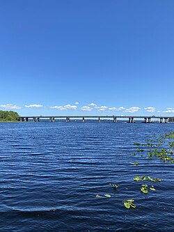
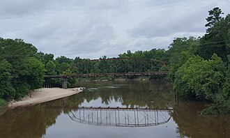
Black Creek
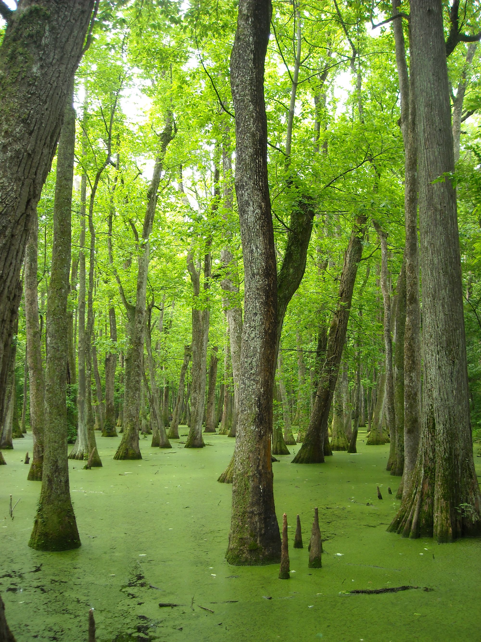
Leaf River
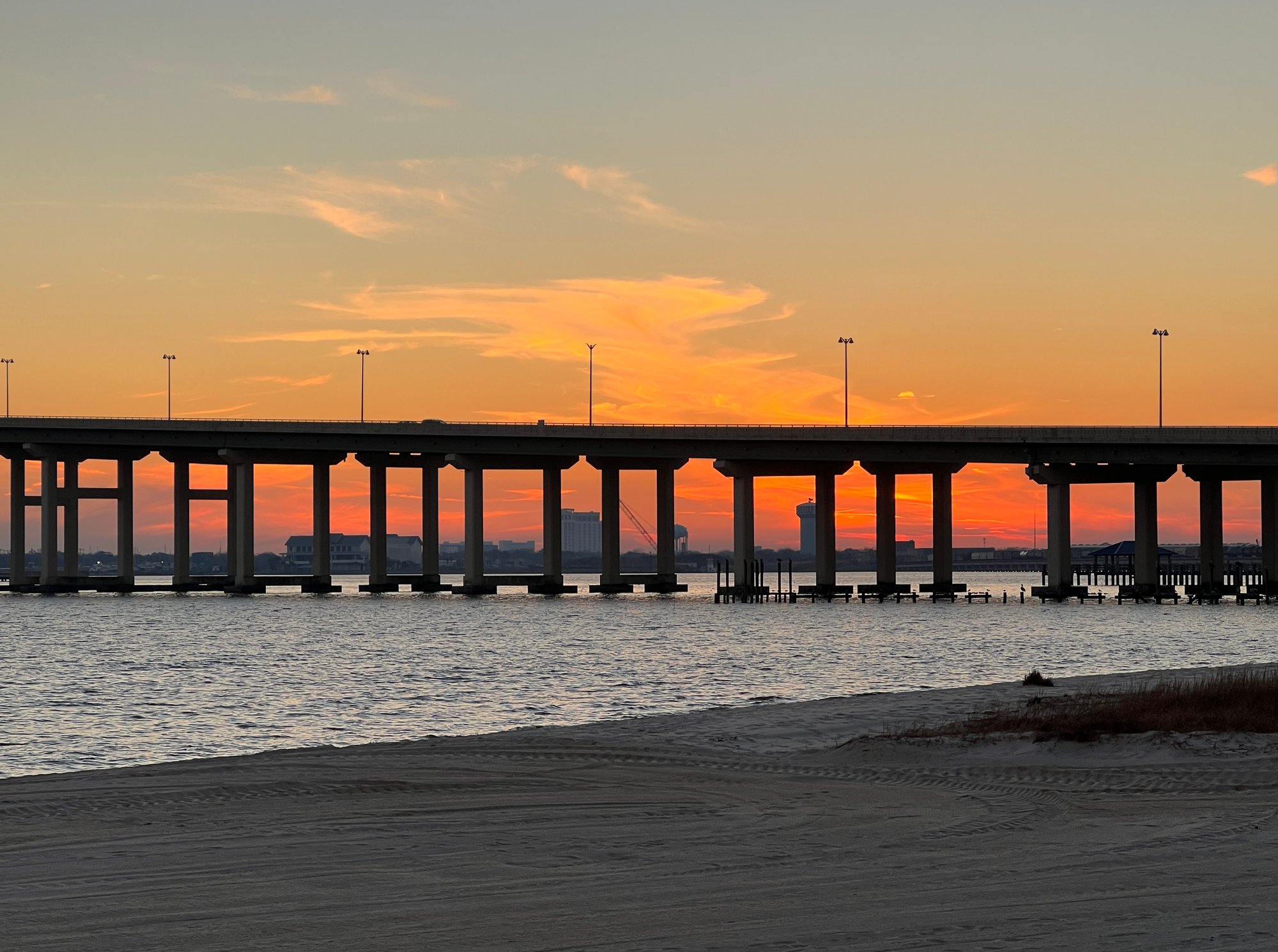
Pearl River
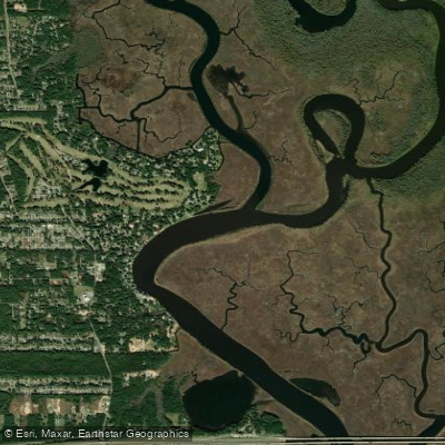
Biloxi Bay
West Pascagoula River
McInnis Bayou
Chandeleur Sound

Biloxi River
Explore Mississippi waters
Top fishing waters
Popular Cities
Loading popular cities...
Explore near Mississippi Sound
Fish species
Fishing spots
- Pass Christian Small Craft Harbor #1 Boat Ramp
- Long Beach Small Craft Harbor Boat Ramp
- Washington St Boat Ramp
- Beau Rivage Marina Boat Ramp
- Old Spanish Fort Boat Ramp
- Bayou Cassotte Boat Launch (ladner Rd Landing) Boat Ramp
- Broadwater Marina Boat Ramp
- Pascagoula River Park Launch Boat Ramp
- Singing River Yacht Club Boat Ramp
- Tucie Boat Ramp
- Cedar Point Boat Ramp
- Mallini Bayou Bridge
- All 93 spots
Nearby waters
More in Mississippi

Smarter Fishing Starts in the App.
onWater Fish gives you everything you need to plan smarter, fish better, and own every trip from first cast to last.