Otter Tail River, Hwy 210 Public Water Access Site
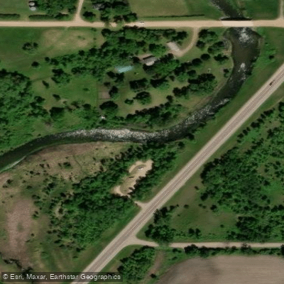
Otter Tail River, Hwy 210 Public Water Access Site
This Highway 210 carry-in access point on the Otter Tail River (River Mile 56. 0, left bank) provides parking and serves as a convenient put-in or take-out for paddlers exploring the middle section of the river.
Located in a reach that contains Class I-II rapids and remnants of old dams, this access is suitable for paddlers with moderate experience and offers a good starting point for day trips through the scenic lower Otter Tail.
Nearby points of interest
Find excellent fishing spots, easy access to boat ramps, and all the amenities you need for a memorable day. Your adventure starts here.
Water and weather conditions (10 day forecast)
Check the forecast at Otter Tail River, Hwy 210 Public Water Access Site before you go fishing.
No forecast data available.
Fishing near Otter Tail River, Hwy 210 Public Water Access Site
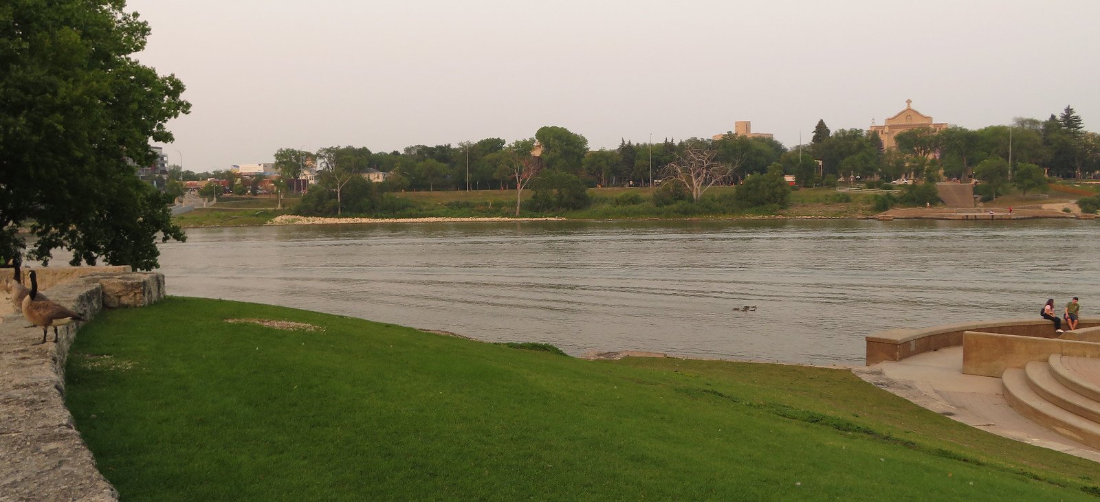
Red River of the North
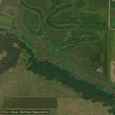
Sheyenne River
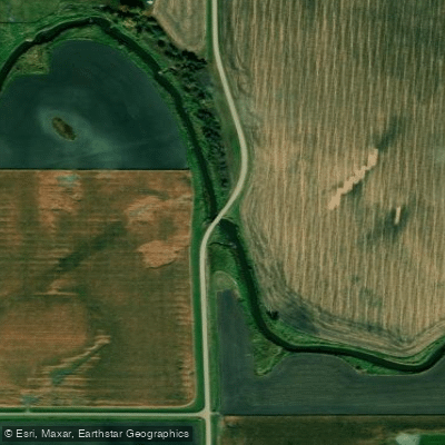
Wild Rice River
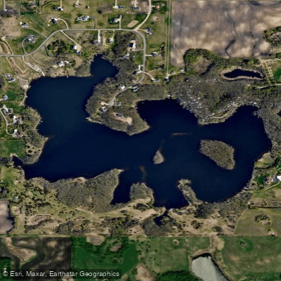
Lee Lake
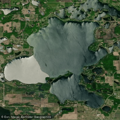
Big Cormorant Lake
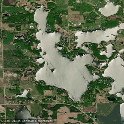
Upper Cormorant Lake
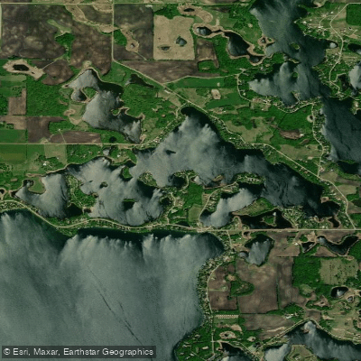
Leaf Lake
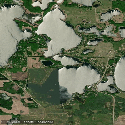
Middle Cormorant Lake
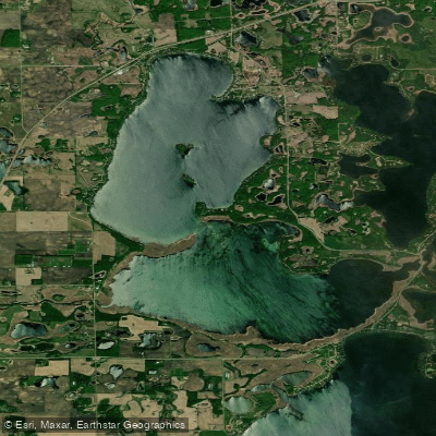
Lake Lizzie
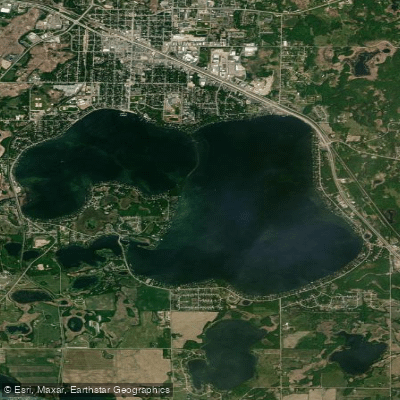
Detroit Lake
Minnesota licenses and regulations
Explore Minnesota waters
Top fishing waters
No waters available right now.
Popular Cities
Loading popular cities...
Explore near Otter Tail River, Hwy 210 Public Water Access Site
Nearby spots
- Chautauqua Lake, Lye Public Water Access Site
- Hoot Lake Public Boat Ramp
- Norway Lake Boat Ramp
- Norway Lake Public Water Access Site
- Otter Tail River, Mt. Faith Public Hand Launch
- Pebble Lake Public Water Access Site
- Robert Hannah Recreational Area Public Boat Ramp
- Swan Lake Public Water Access Site
- Wall Lake Boat Ramp
- Wall Lake Public Water Access Site
- Otter Tail River, Diversion Dam Public Water Access Site
- Otter Tail River, Hwy 1 Public Water Access Site
- All 13 nearby spots
Nearby waters
More in Minnesota

Smarter Fishing Starts in the App.
onWater Fish gives you everything you need to plan smarter, fish better, and own every trip from first cast to last.