Manuel Pit Lake Public Water Access Site
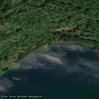
Manuel Pit Lake Public Water Access Site
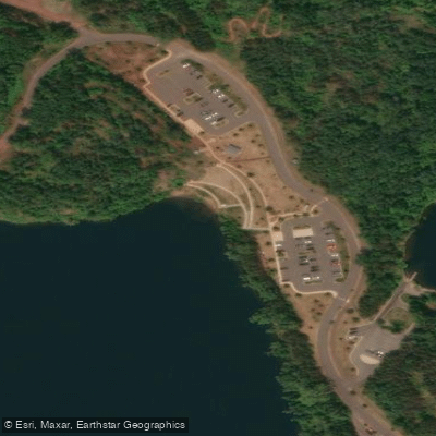
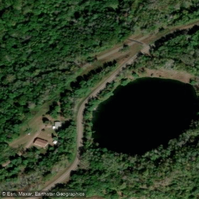
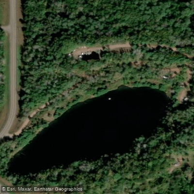
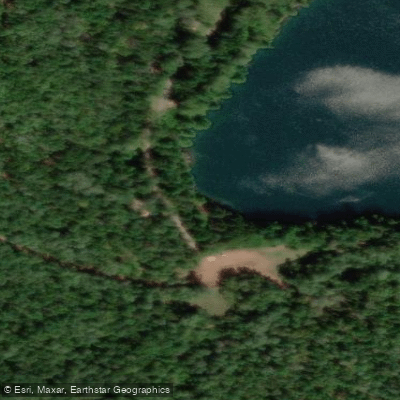
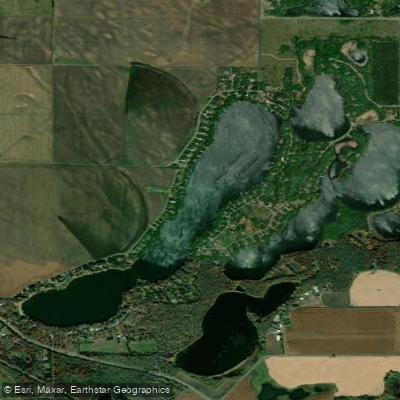
Manuel Pit Lake offers a carry-in access point via a gravel road on the west side of County Highway 31, about a mile north of Highway 210, with a 400-foot walking path from the parking lot to the water.
This 35-acre former manganese mine pit features exceptionally clear water with visibility to nearly 30 feet and reaches depths of 160 feet, making it suitable for both fishing and paddling activities.
Nearby points of interest
Find excellent fishing spots, easy access to boat ramps, and all the amenities you need for a memorable day. Your adventure starts here.
Water and weather conditions (10 day forecast)
Check the forecast at Manuel Pit Lake Public Water Access Site before you go fishing.
No forecast data available.
Fishing near Manuel Pit Lake Public Water Access Site
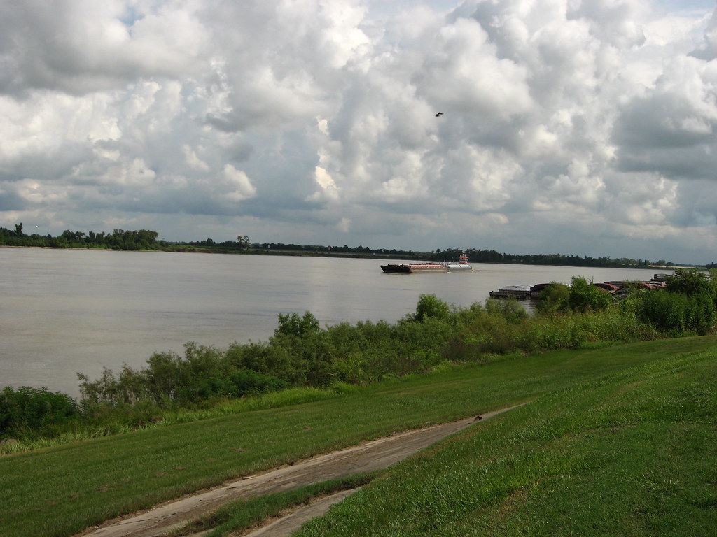
Mississippi River
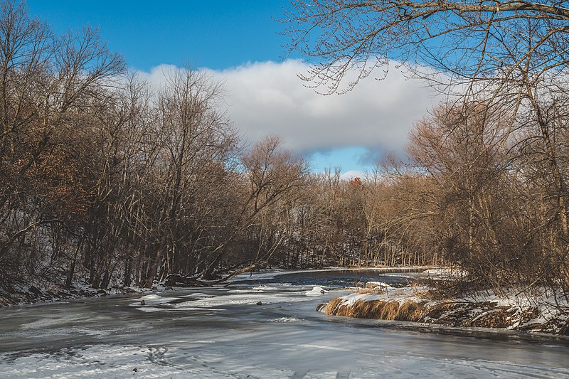
Sauk River
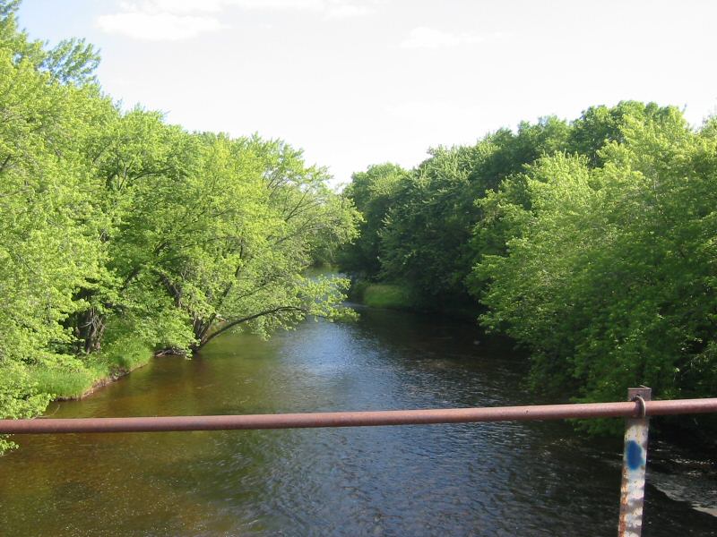
Rum River
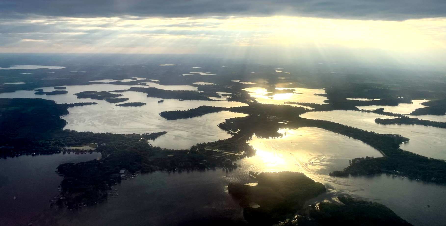
Lake Minnetonka
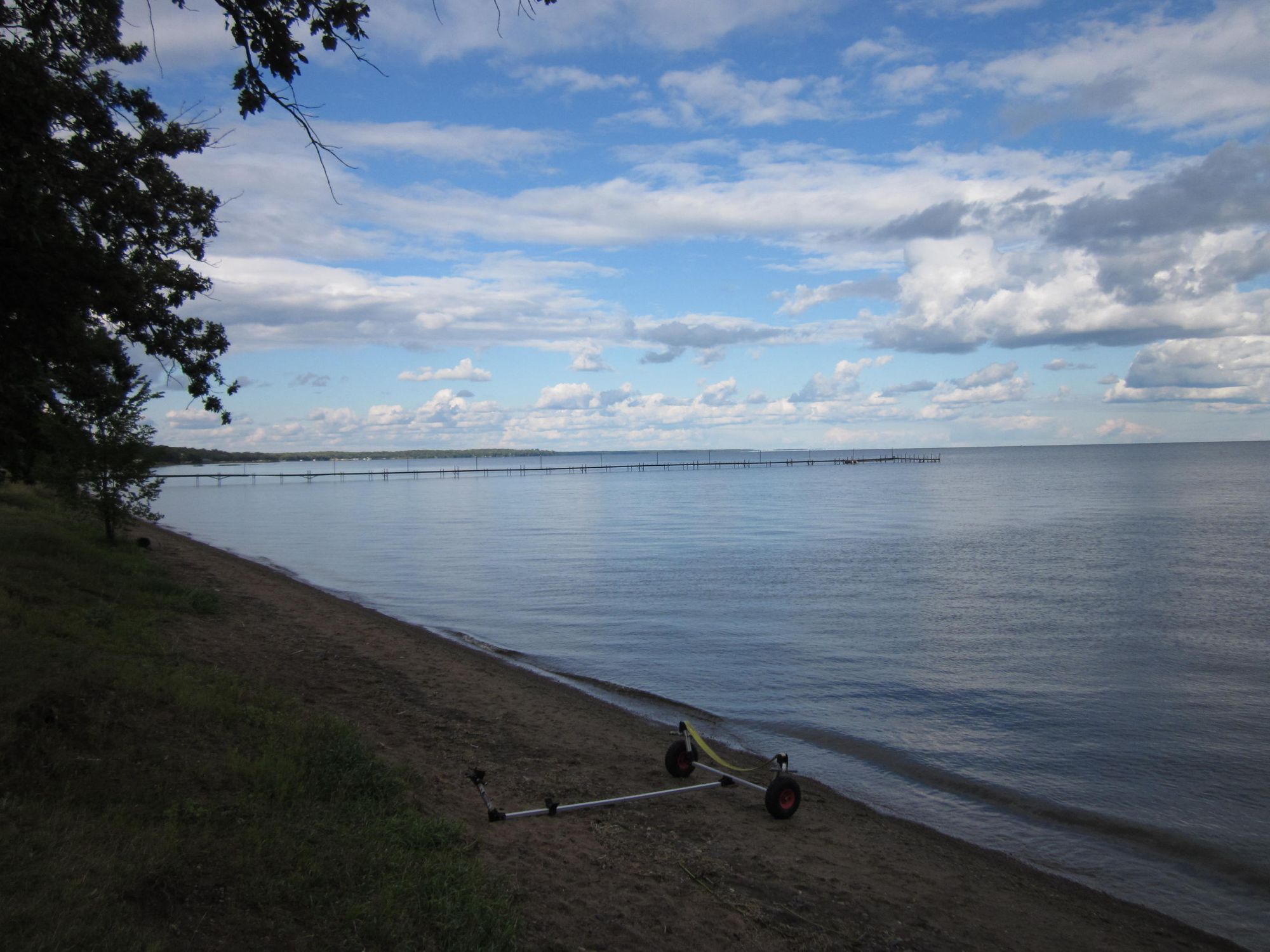
Mille Lacs Lake
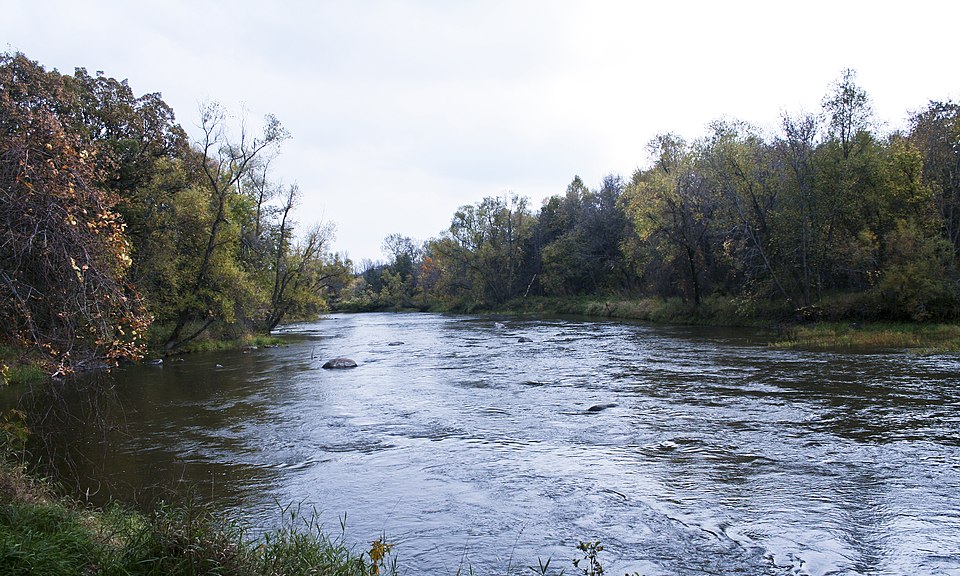
Crow River
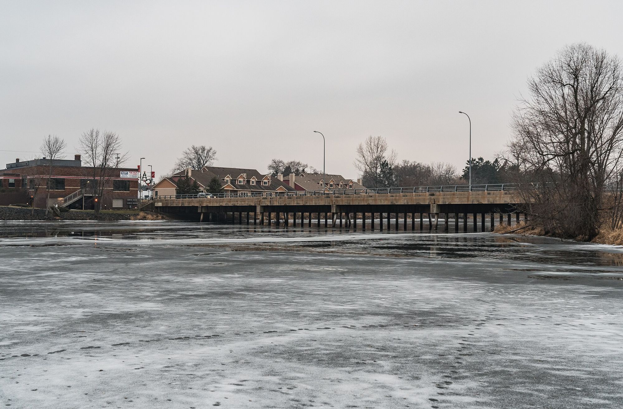
Snake River
Little Rock Lake
Julia Lake
Long Lake
Minnesota licenses and regulations
Explore Minnesota waters
Top fishing waters
No waters available right now.
Popular Cities
Loading popular cities...
Explore near Manuel Pit Lake Public Water Access Site
Nearby spots
- Alstead Mine Lake Public Water Access Site
- Blackhoof Lake Public Water Access Site
- Black Lake Public Water Access Site
- Clinker Lake Boat Ramp
- Clinker Lake Public Water Access Site
- Hay Lake Public Water Access Site
- Huntington Mine Lake Public Water Access Site
- Little Black Hoof Lake Public Water Access Site
- Mahnomen Lake (N) Public Water Access Site
- Mississippi River, Hwy 6 Public Boat Ramp
- Pennington Mine Lake Boat Ramp
- Pennington Pit Public Water Access Site
- All 25 nearby spots
Nearby waters
More in Minnesota

Smarter Fishing Starts in the App.
onWater Fish gives you everything you need to plan smarter, fish better, and own every trip from first cast to last.