Des Moines River, Hwy 13 Public Water Access Site
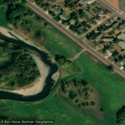
Des Moines River, Hwy 13 Public Water Access Site
This carry-in access site on Highway 13 provides convenient entry to the Des Moines River at river mile 38. 6, making it a good put-in point for paddlers exploring the Des Moines River State Water Trail.
The location is situated in an area with mixed farmland and wooded shoreline, offering access to a scenic stretch of river suitable for beginner to intermediate paddlers.
Nearby points of interest
Find excellent fishing spots, easy access to boat ramps, and all the amenities you need for a memorable day. Your adventure starts here.
Water and weather conditions (10 day forecast)
Check the forecast at Des Moines River, Hwy 13 Public Water Access Site before you go fishing.
No forecast data available.
Fishing near Des Moines River, Hwy 13 Public Water Access Site
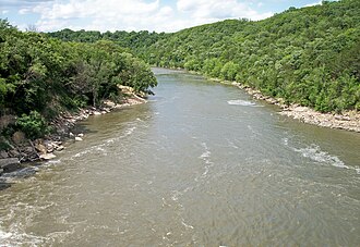
Blue Earth River
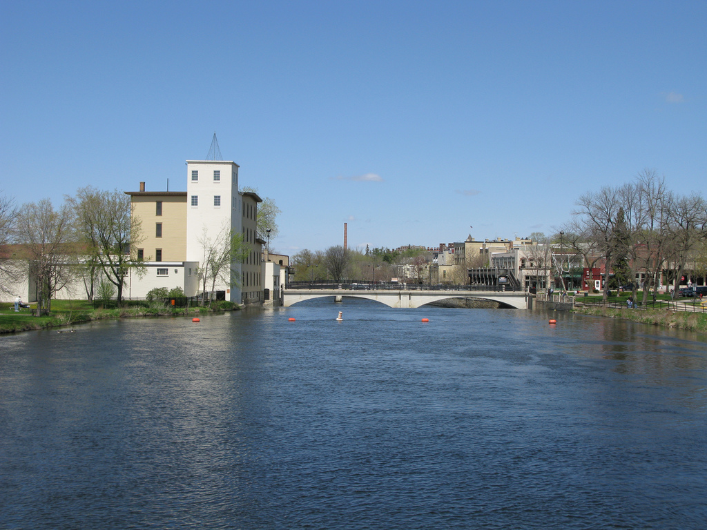
Cannon River
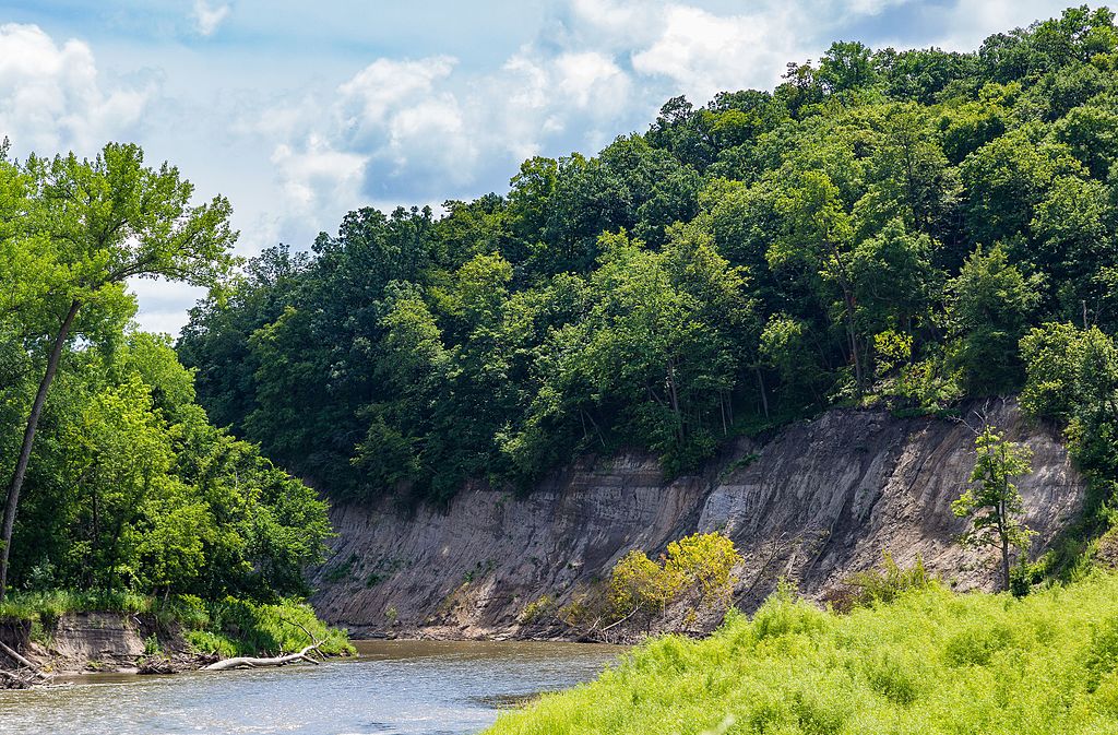
Cottonwood River
Fountain Lake
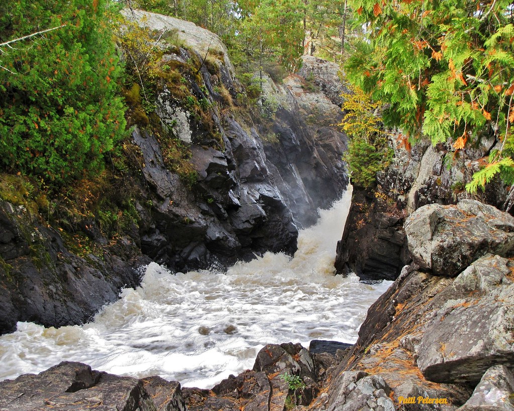
Vermillion River
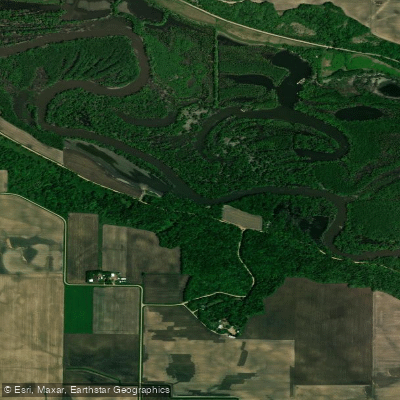
Minnesota River
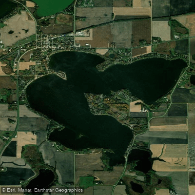
Madison Lake
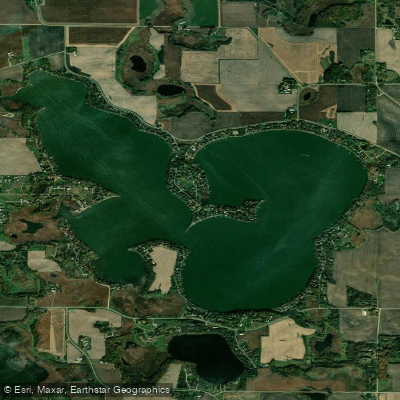
Lake Washington
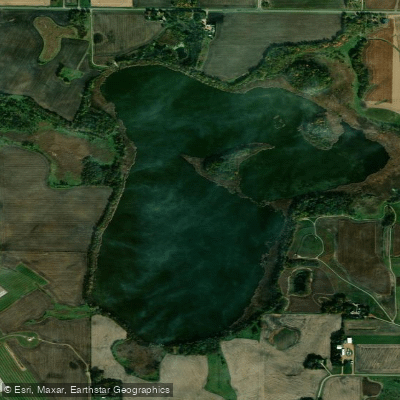
Wita Lake
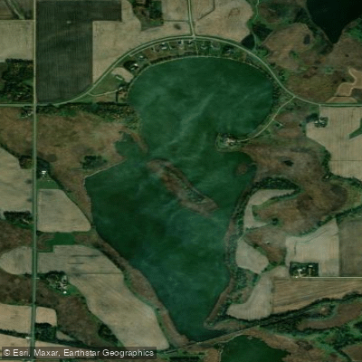
Eagle Lake
Minnesota licenses and regulations
Explore Minnesota waters
Top fishing waters
No waters available right now.
Popular Cities
Loading popular cities...
Explore near Des Moines River, Hwy 13 Public Water Access Site
Nearby spots
- Balstead WMA Public Water Access Site
- Bingham Lake Boat Ramp
- Bingham Lake Public Water Access Site
- Clear Lake Boat Ramp
- Clear Lake Public Water Access Site
- Cottonwood Lake Public Water Access Site
- Des Moines River, Dam Public Boat Ramp
- Des Moines River, Mayflower Park Public Hand Launch
- Fish Lake Boat Ramp
- Fish Lake (S) Public Water Access Site
- String Lake Boat Ramp
- String Lake Public Water Access Site
- All 17 nearby spots
Nearby waters
More in Minnesota

Smarter Fishing Starts in the App.
onWater Fish gives you everything you need to plan smarter, fish better, and own every trip from first cast to last.