Cedar Lake Public Water Access Site
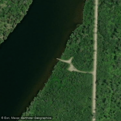
Cedar Lake Public Water Access Site
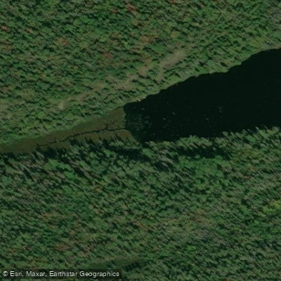
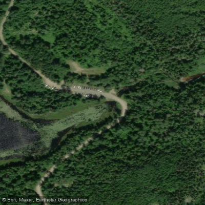
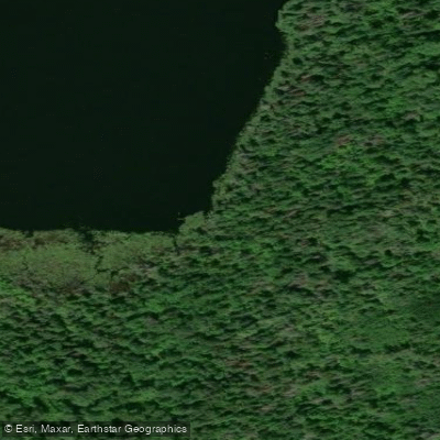
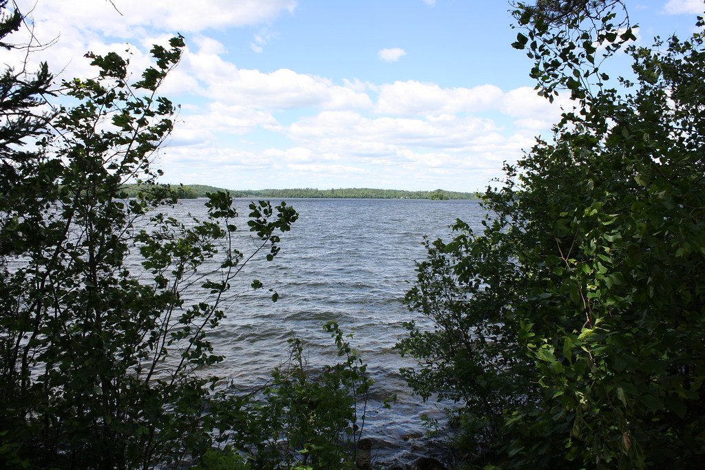
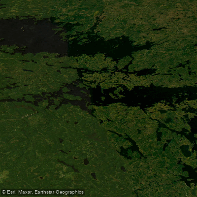
Cedar Lake offers a concrete boat ramp access point managed by the USFS/DNR, providing reliable launching for motorized and non-motorized watercraft.
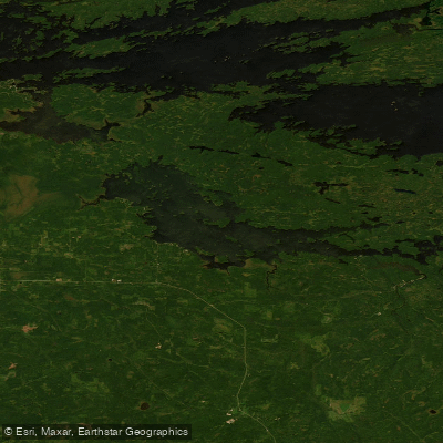
The site is located at grid E2 on the northern Lake County public water access map and is typically open 24 hours, with standard amenities and regulations for Minnesota public water access sites.
Nearby points of interest
Find excellent fishing spots, easy access to boat ramps, and all the amenities you need for a memorable day. Your adventure starts here.
Water and weather conditions (10 day forecast)
Check the forecast at Cedar Lake Public Water Access Site before you go fishing.
No forecast data available.
Fishing near Cedar Lake Public Water Access Site
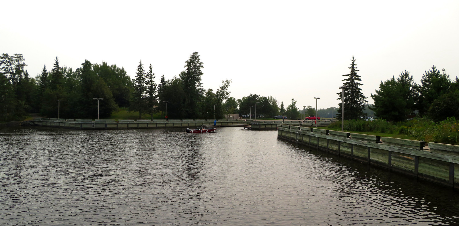
Rainy Lake
Vermilion Lake
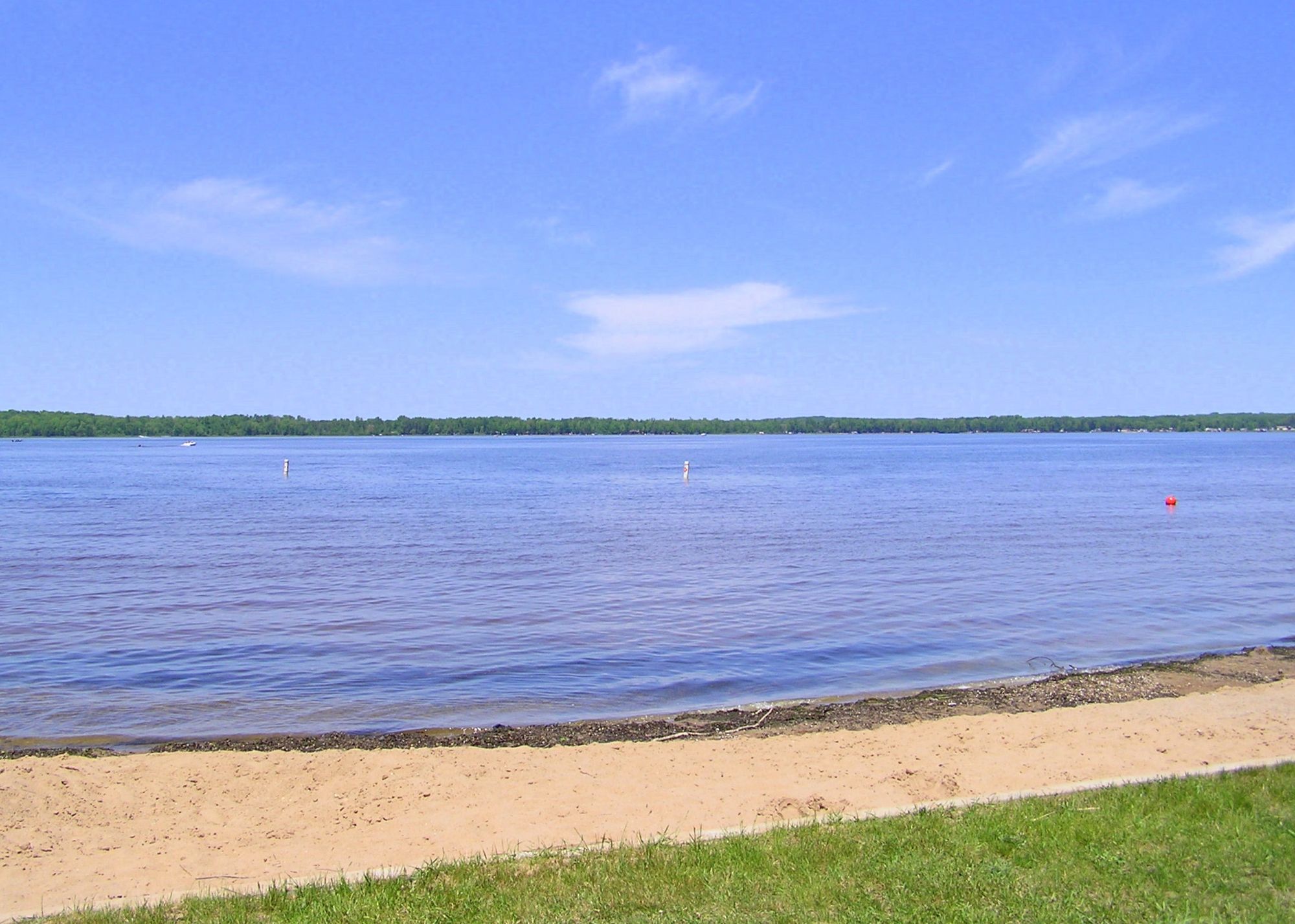
Kabetogama Lake
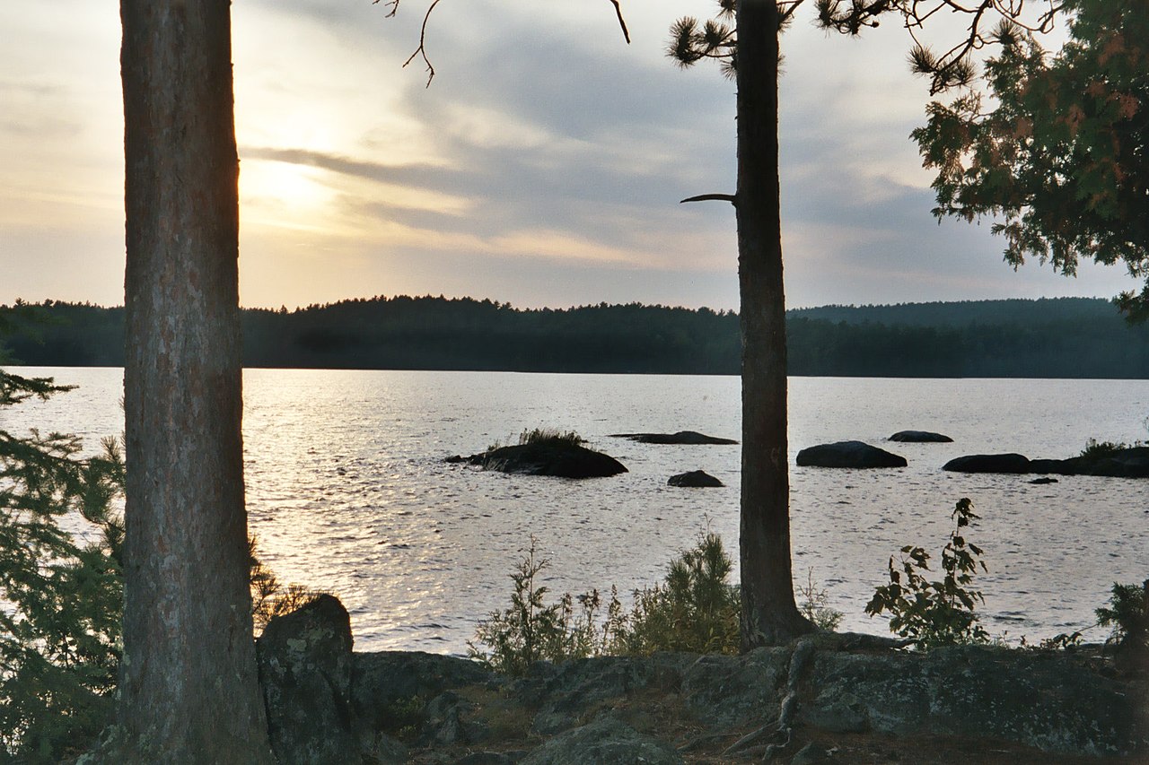
Loon Lake
Burntside Lake
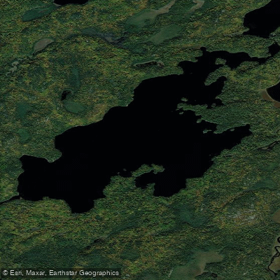
Lake Agnes
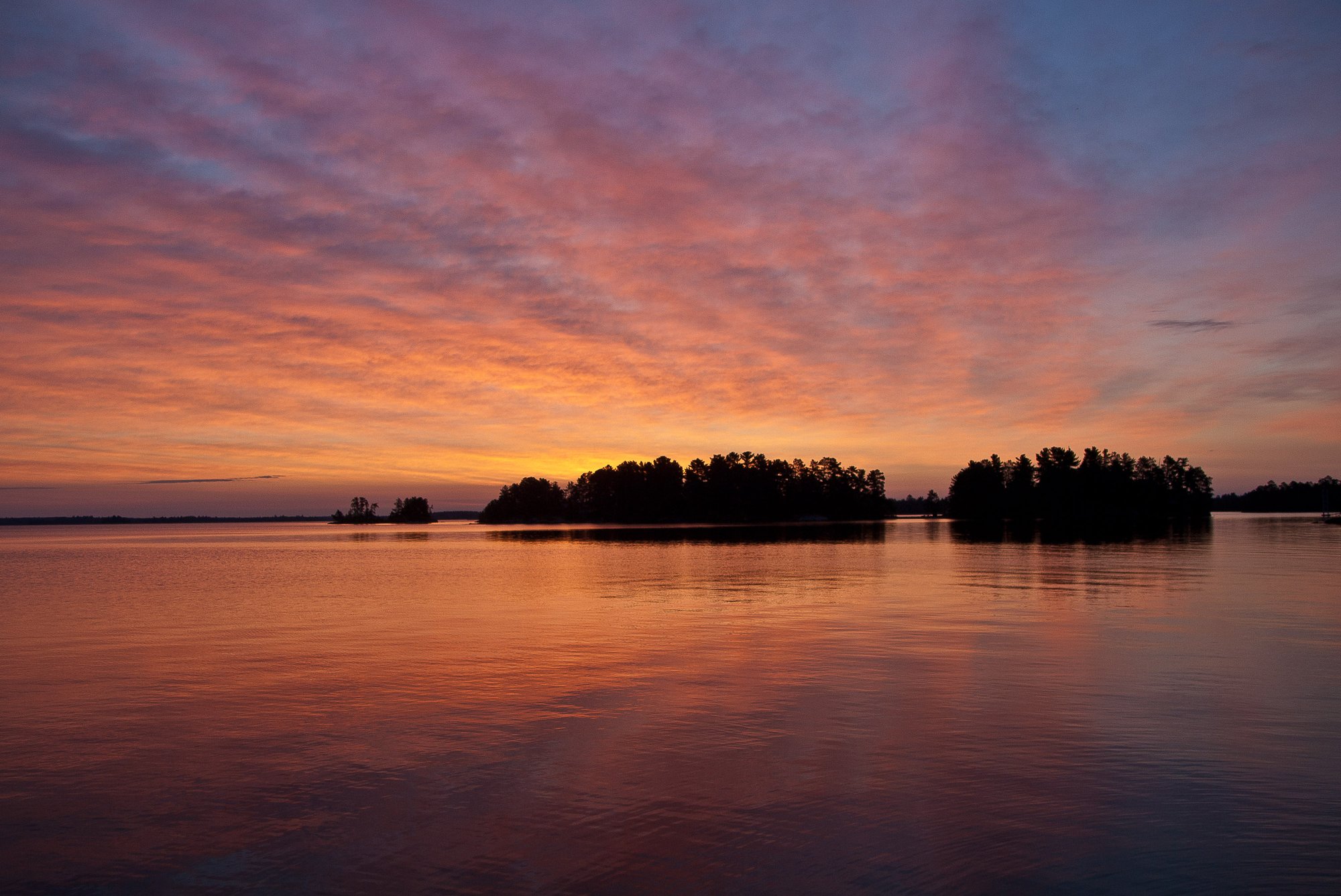
Rainy Lake
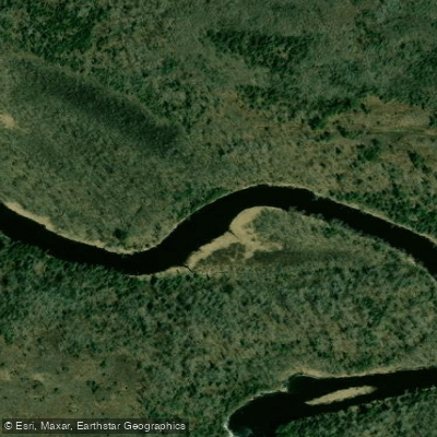
Vermilion River
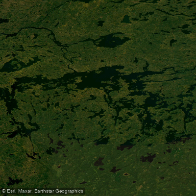
Lac la Croix
Namakan Lake
Minnesota licenses and regulations
Explore Minnesota waters
Top fishing waters
No waters available right now.
Popular Cities
Loading popular cities...
Explore near Cedar Lake Public Water Access Site
Nearby spots
- Fall Lake North Boat Ramp
- Fall Lake (N) Public Water Access Site
- Fall Lake South Boat Ramp
- Fall Lake (S) Public Water Access Site
- Garden Lake Boat Ramp
- Garden Lake Public Water Access Site
- Little Long Lake Public Water Access Site
- Low Lake Boat Ramp
- Low Lake Public Water Access Site
- Pioneer Mine Pit Public Water Access Site
- Shagawa Lake, Sandy Point Public Boat Ramp
- Shagawa Lake (SE) Public Boat Ramp
- All 76 nearby spots
Nearby waters
More in Minnesota

Smarter Fishing Starts in the App.
onWater Fish gives you everything you need to plan smarter, fish better, and own every trip from first cast to last.