Hunt Ledge
- Saltwater
- Sea area
- Saltwater
- Sea area
- Sq. miles
- 0
- Boat Ramps
- 0
- Access Points
- 0
- Species
- 5
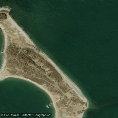
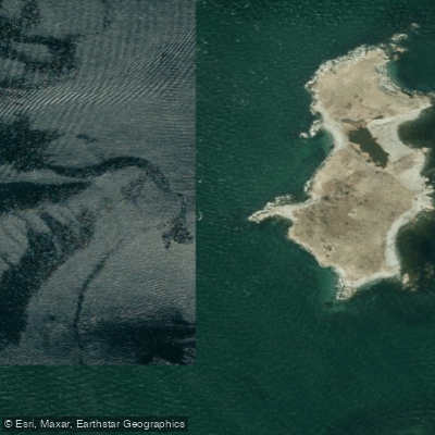
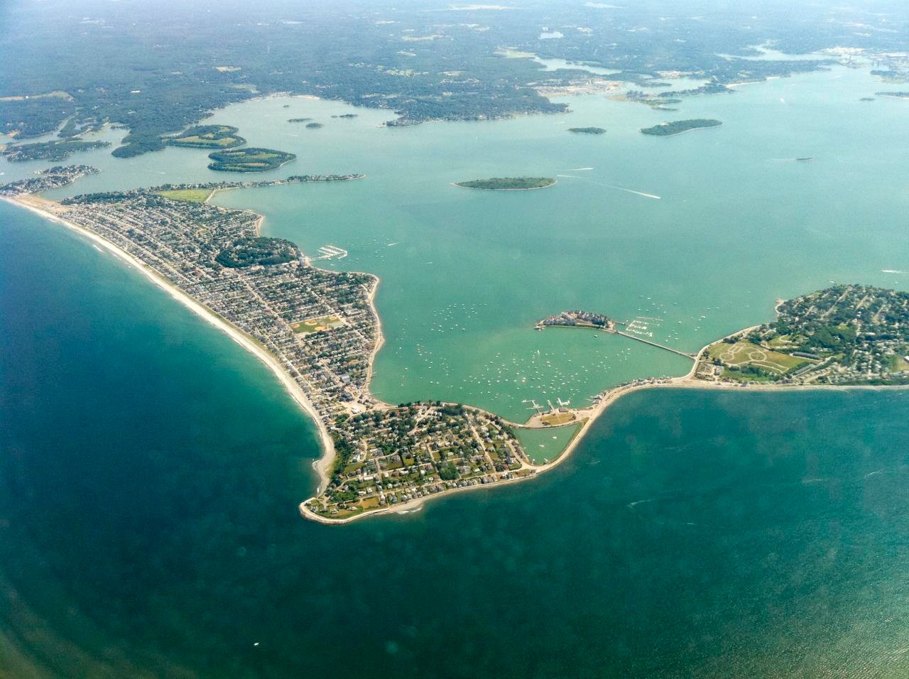
Hunt Ledge is a prominent underwater structure located in Boston Harbor, Massachusetts, approximately 1.5 kilometers from the town of Hull. It is a classic New England ledge system, a submerged rock formation that rises from the seafloor to create dynamic structure and habitat. This feature is charted by NOAA and marked by navigational aids, including a bell buoy. The ledge sits within the complex archipelago of Boston Harbor, surrounded by other notable features like Kelly Rock, Hingham Bay, and the Brewster Islands, making it a focal point for inshore and nearshore saltwater angling.
Species & education
Learn what type of fish are at Hunt Ledge and what's needed to catch them.
Find which waters have the species you want to catch

Black Sea Bass
Centropristis striata

Bluefish
Pomatomus saltatrix
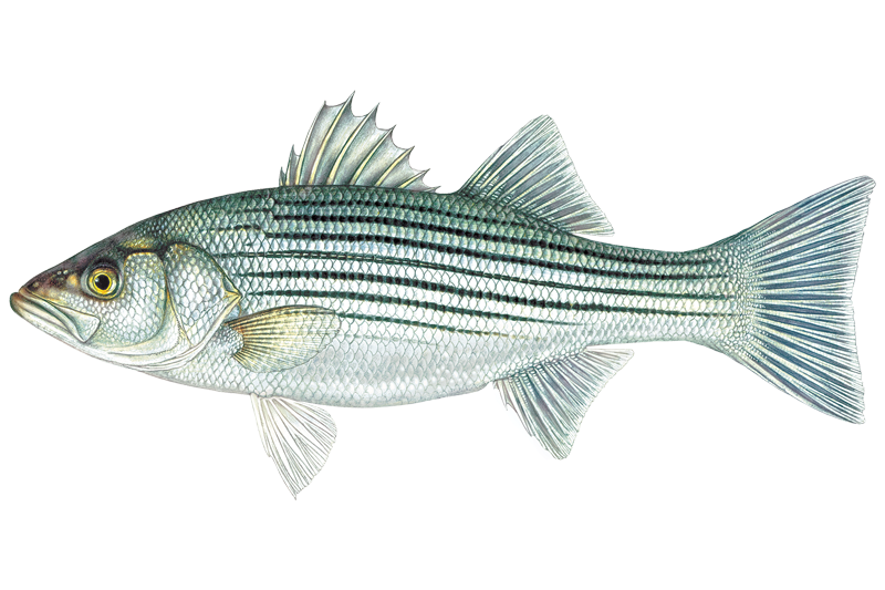
Striped Bass
Morone saxatilis

Summer Flounder
Paralichthys dentatus

Tautog
Tautoga onitis
Fishing spots, boat ramps & amenities
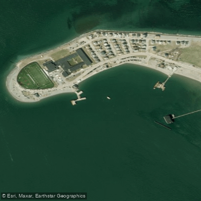
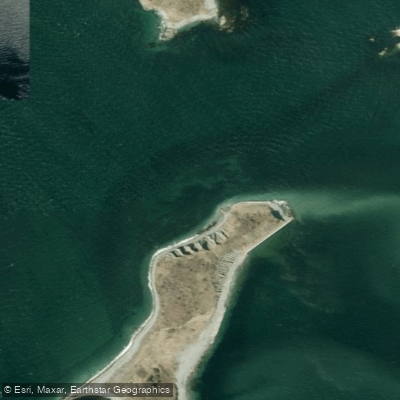
Learn how to get on Hunt Ledge. Uncover great fishing access points, boat ramps, and all the facilities you need for an unforgettable day on the water. Some locations shown may border or include private property. Always check property boundaries and applicable regulations before visiting. onWater's Public & Private Land layer can help you plan your access with confidence.
Wreck
Wreck
Wreck
Wreck
Wreck
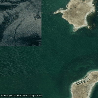
Wreck
Wreck
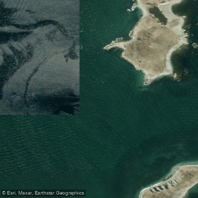
Wreck
Wreck
Wreck
Know where you can legally fish on Hunt Ledge
See public and private land boundaries along the water, turn on private parcels with owner details to know where permission is required, and find land-trust parcels that offer permitted fishing access.
Massachusetts licenses and regulations
Massachusetts Boating Regulations
When using any type of watercraft to access a body of water, it is important to follow all federal, state, and local rules and regulations. These rules and regulations include boat permitting and licensing, invasive species inspections and stamps, life jacket and PFD rules, motor size and horsepower restrictions, noise limitations, restrictions on personal watercraft, and many more. Visit the web link below for the most current rules and regulations for this body of water.
Massachusetts Coastal & Inland Waters
Massachusetts manages saltwater and freshwater fishing through two separate agencies: the Division of Marine Fisheries covers marine waters, while MassWildlife covers inland waters. The saltwater permit applies in marine waters, which extend up to the first upstream bridge on rivers and streams that flow to the ocean. A freshwater license from MassWildlife is required for fishing beyond that boundary.
Massachusetts Federal Waters & Offshore Rules
Beyond 3 nautical miles from shore, NOAA Fisheries manages fisheries in federal waters out to 200 nautical miles, working with the New England Fishery Management Council. Federal rules can differ from state rules, and when both apply you must follow the more restrictive requirement. Anglers targeting highly migratory species such as tuna, billfish, or swordfish should check NOAA Fisheries for any applicable federal permit or registration requirements.
Massachusetts Saltwater Fishing License
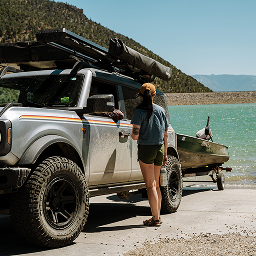
Any angler 16 or older needs a recreational saltwater fishing permit issued by the Division of Marine Fisheries to fish Massachusetts marine waters. Anglers fishing aboard a permitted for-hire vessel and those who qualify as disabled under state law are exempt. The Division also designates a couple of free fishing days each year when no permit is required.

Massachusetts Saltwater Size & Bag Limits
Size and bag limits apply per species and can shift during the year; the Division of Marine Fisheries sets and updates them. Striped bass, cod, black sea bass, bluefish, and summer flounder are among the species with active season and size rules. The current table for all species lives on the Division's recreational regulations page.

Massachusetts Shellfish Closures & Advisories
Recreational shellfish harvesting in Massachusetts requires a permit issued by your local town or city, not the state; contact your town hall before heading out. Areas close regularly due to rainfall, red tide, or biotoxin concerns, and you must check the status of your local flats before every trip. The Division of Marine Fisheries maintains shellfish classification areas and posts current closure and consumption advisory information.
Take Hunt Ledge with you
The onWater Fish app keeps this water's access points, species and conditions in your pocket, with the tools you use once you're there.
Use the map without signal
Download the map around Hunt Ledge to use it offline when coverage drops.
Log your catches here
Keep a private fishing journal for Hunt Ledge to find where and when fish are biting for you.
Get the onWater Fish app
Free on iOS and Android
Tides, wind & water conditions (10 day forecast)
On open water, wind and tide matter as much as the weather. See the best times to fish Hunt Ledge and check the marine forecast before you launch.
Loading tide predictions…
Hunt Ledge fishing guides
Book a trip with a local fishing guide through Guidesly.



Fishing near Hunt Ledge
Taunton River
Charles River
Massachusetts Bay
Concord River

Merrimack River
Broad Sound
Sudbury River
Assabet River
Hingham Bay
Ipswich River
Explore Massachusetts waters
Explore near Hunt Ledge
Smarter Fishing Starts in the App.
onWater Fish gives you everything you need to plan smarter, fish better, and own every trip from first cast to last.