Charles River-Millis Boat Ramp
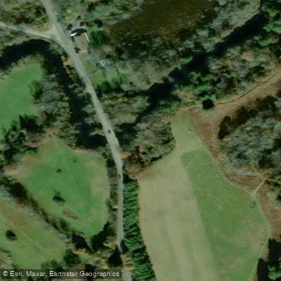
Charles River-Millis Boat Ramp
The Charles River-Millis Boat Ramp at River Road in Norfolk provides access to the Charles River for fishing and paddling, located at the confluence with the Mill River.
The launch site features roadside parking and a steep river bank access point; paddlers should be prepared for rapids and potential obstructions in this section, particularly during low water conditions.
This location serves as a gateway to the scenic Populatic Pond area upstream and the forested sections downstream toward Millis.
More ways to access Charles River
Explore the wonders of Charles River! Find excellent fishing spots, easy access to boat ramps, and all the amenities you need for a memorable day by the water. Your adventure starts here.
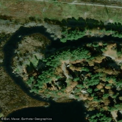
Lake Path Drive Fishing Access Site
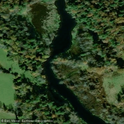
Medfield State Reservation Fishing Access Site
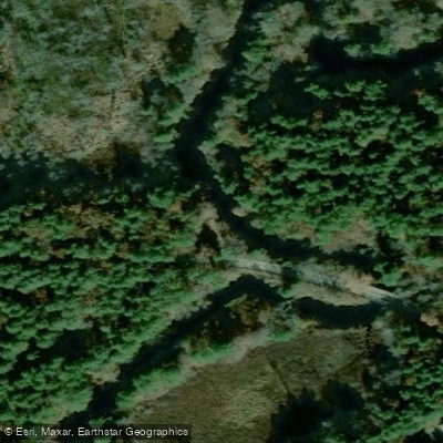
Natural Storage Area Fishing Access Site
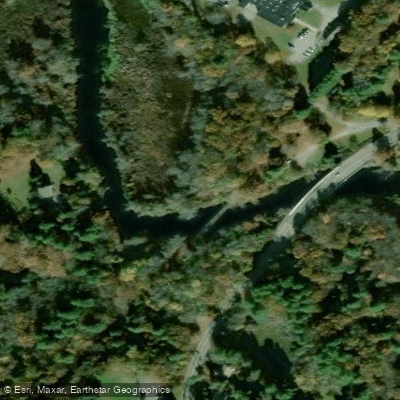
Natural Valley Storage Area Fishing Access Site
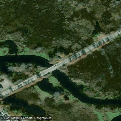
Nature Valley Storage Area Fishing Access Site
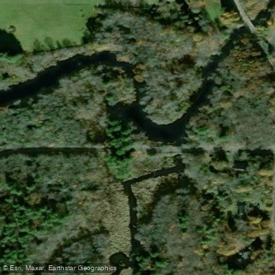
River Road Fishing Access Site

Shattuck Reservation Fishing Access Site
Water and weather conditions (10 day forecast)
Check the forecast at Charles River-Millis Boat Ramp before you go fishing.
No forecast data available.
Fishing near Charles River-Millis Boat Ramp

Charles River

Wachusett Reservoir
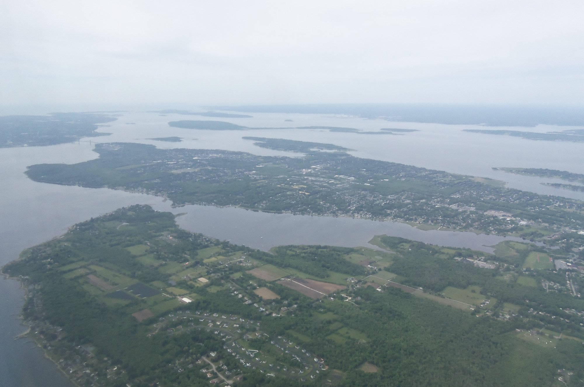
Narragansett Bay
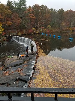
Blackstone River

Lake Quinsigamond

Massachusetts Bay
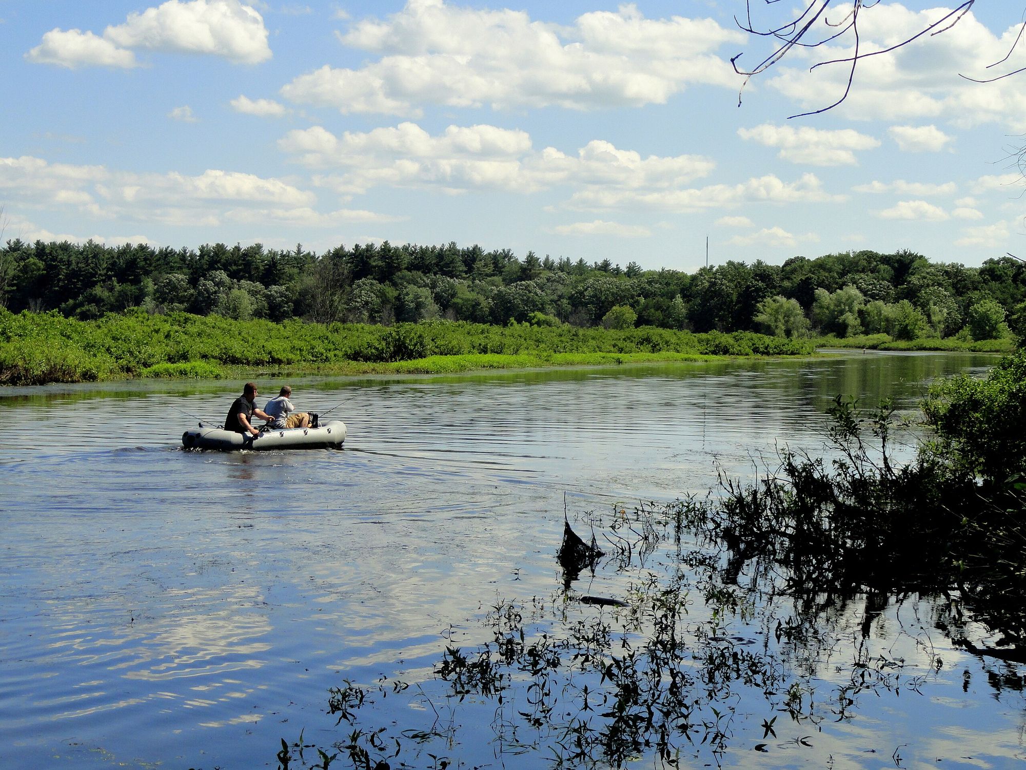
Sudbury River
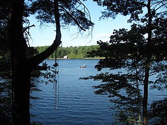
Lake Cochituate

Broad Sound
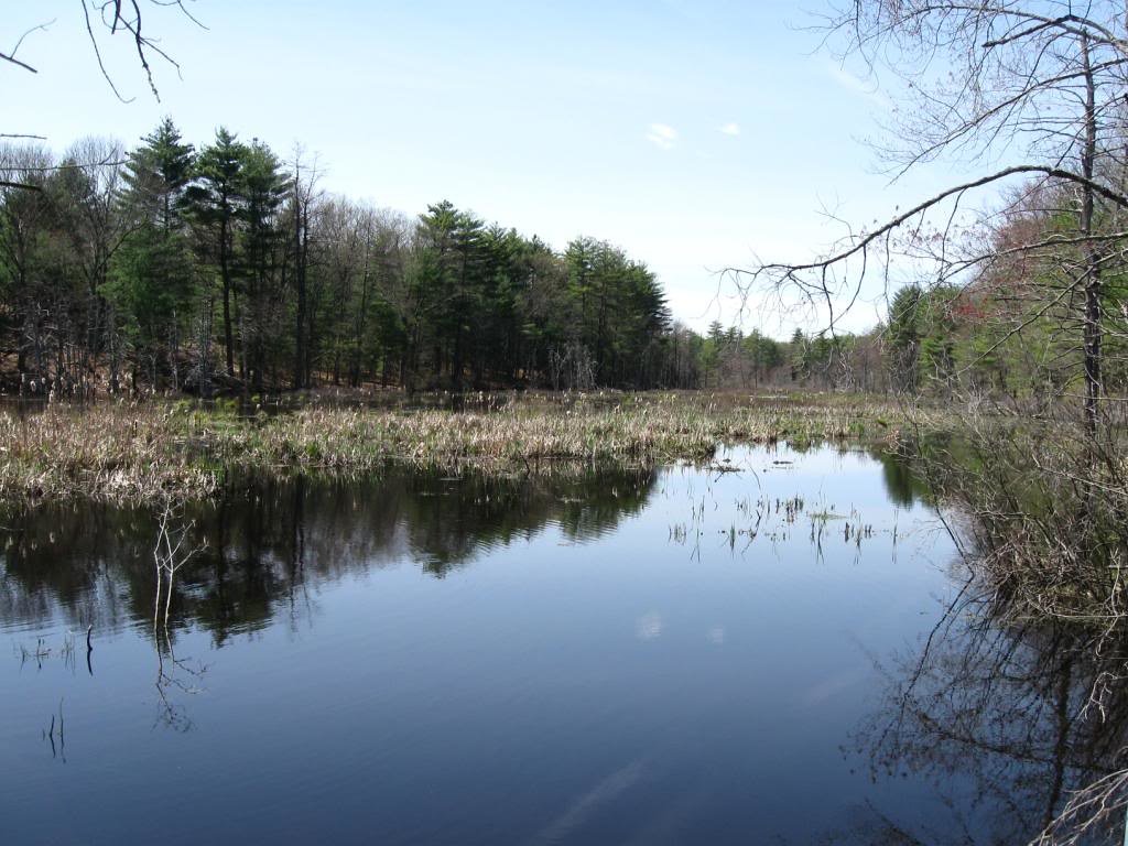
Assabet River
Massachusetts licenses and regulations
Explore Massachusetts waters
Top fishing waters
No waters available right now.
Popular Cities
Loading popular cities...
Explore near Charles River-Millis Boat Ramp
On this water
Nearby spots
- Charles River-Medway Boat Ramp
- Lake Winthrop Boat Ramp
- Lake Path Drive Fishing Access Site
- Medfield State Reservation Fishing Access Site
- Natural Storage Area Fishing Access Site
- Natural Valley Storage Area Fishing Access Site
- Nature Valley Storage Area Fishing Access Site
- River Road Fishing Access Site
- Shattuck Reservation Fishing Access Site
Nearby waters
More in Massachusetts

Smarter Fishing Starts in the App.
onWater Fish gives you everything you need to plan smarter, fish better, and own every trip from first cast to last.