Westfield River, East Branch Access
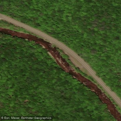
Westfield River, East Branch Access
The East Branch of the Westfield River offers 34. 9 miles of paddling with multiple access points ranging from Savoy to Huntington, featuring a dramatic 1,389-foot elevation drop ideal for whitewater paddling.
Notable access areas include the Route 9 rest areas near Cummington, Chesterfield Gorge with its 70-foot-high walls, and the Knightsville Dam Recreation Area which provides canoe/kayak access along with picnic facilities and multi-use trails.
The East Branch is particularly popular during March and April for the annual Wildwater Races, with varying difficulty levels suitable for different skill levels.
Nearby points of interest
Find excellent fishing spots, easy access to boat ramps, and all the amenities you need for a memorable day. Your adventure starts here.
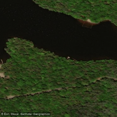
Access
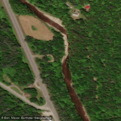
Berkshire Trail Fishing Access Site
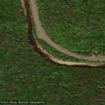
Berkshire Trail Fishing Access Site
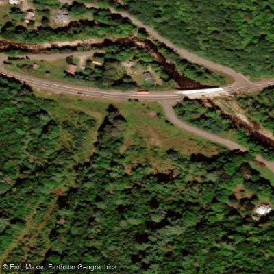
Bryant Mountain State Forest
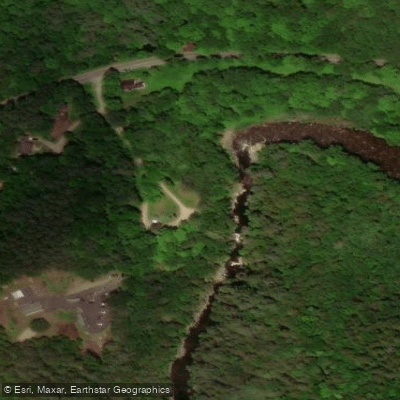
Chesterfield Gorge Fishing Access Site
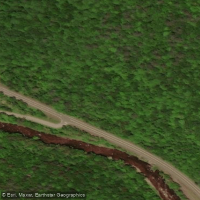
Cummington Wildlife Mgmt. Area Fishing Access Site
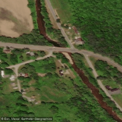
Gilbert A. Bliss State Forest Fishing Access Site
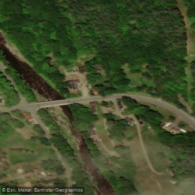
Route 143 Bridge Fishing Access Site
Water and weather conditions (10 day forecast)
Check the forecast at Westfield River, East Branch Access before you go fishing.
No forecast data available.
Fishing near Westfield River, East Branch Access
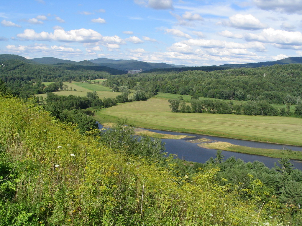
Connecticut River
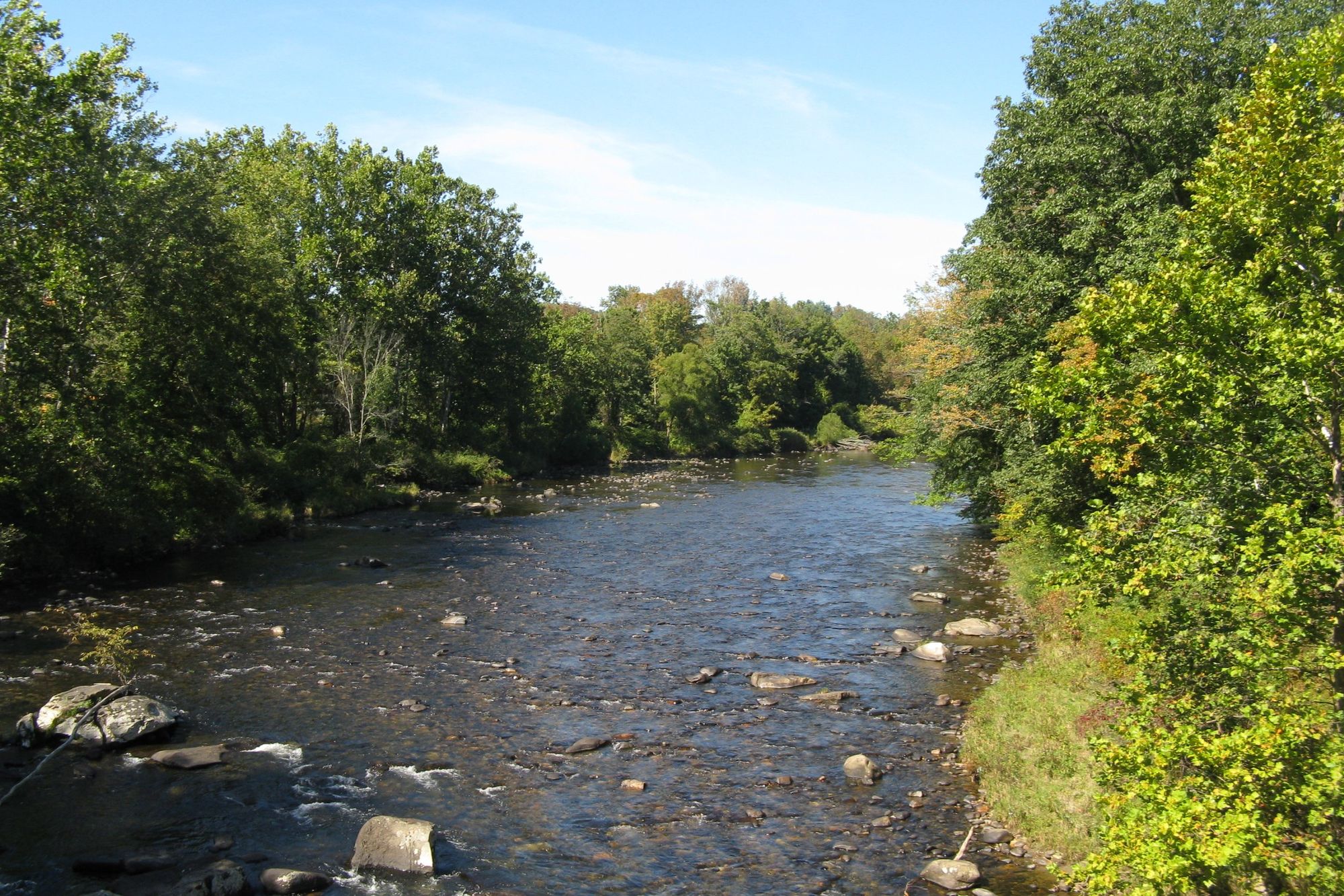
Westfield River
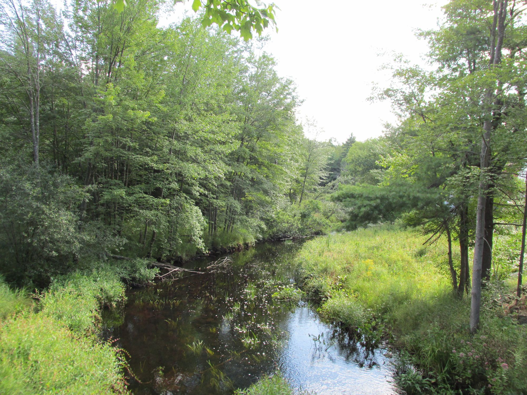
Millers River
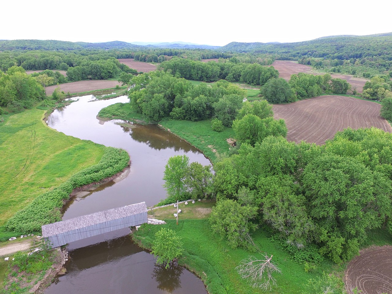
Housatonic River
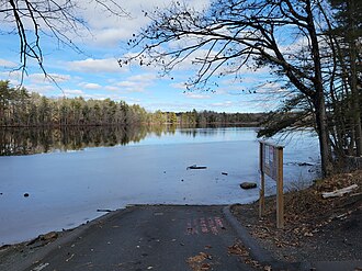
Chicopee River
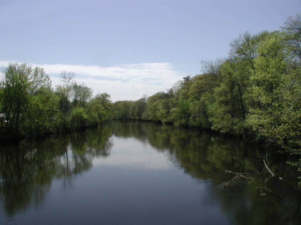
Farmington River

Wachusett Reservoir
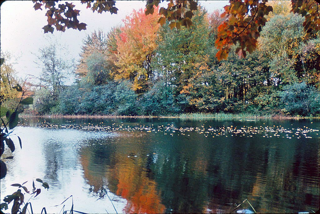
Ashuelot River
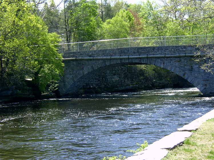
Willimantic River
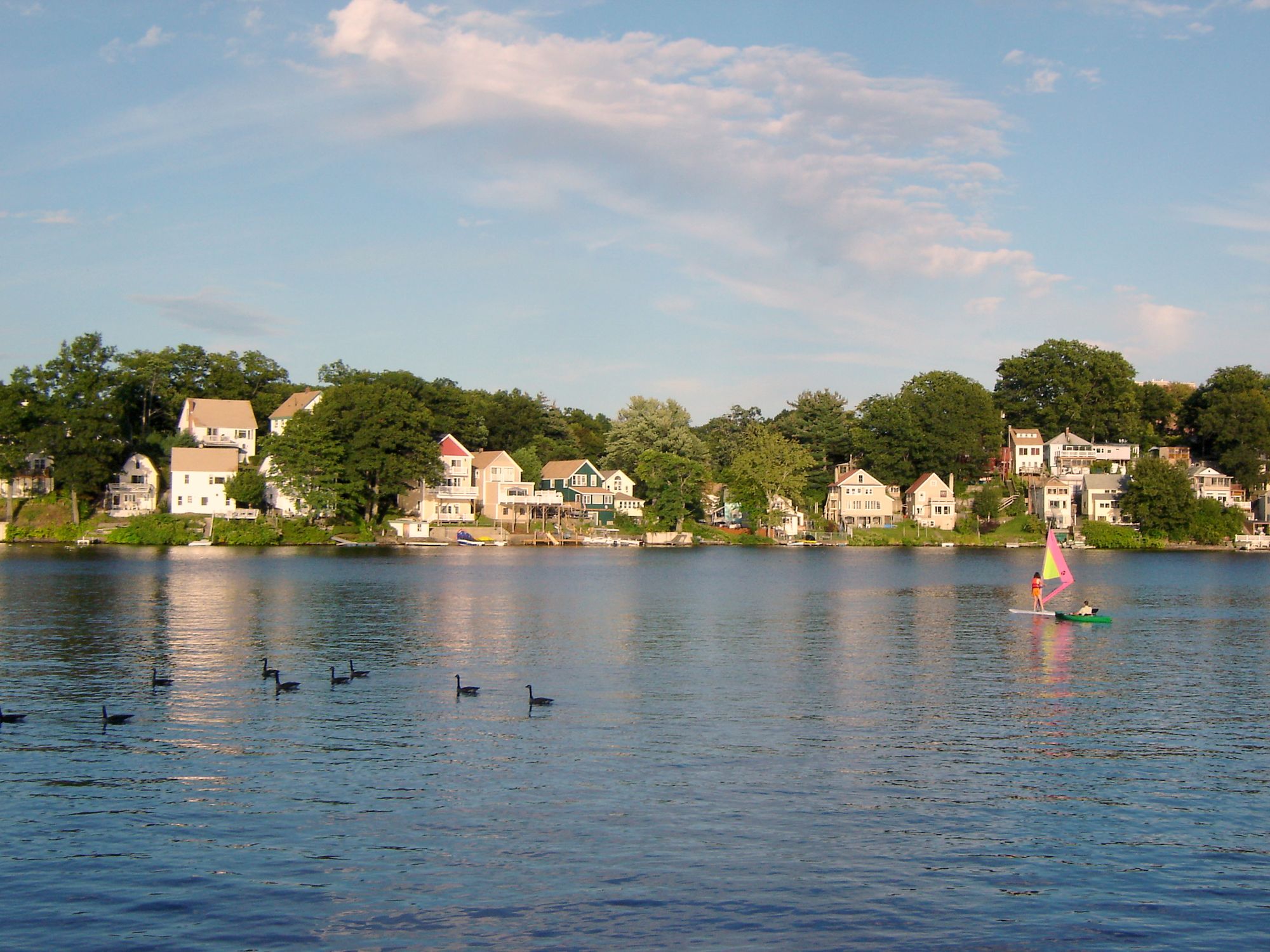
Lake Quinsigamond
Massachusetts licenses and regulations
Explore Massachusetts waters
Top fishing waters
No waters available right now.
Popular Cities
Loading popular cities...
Explore near Westfield River, East Branch Access
Nearby spots
- Highland Lake (Lower) Boat Ramp
- Upper Highland Lake Boat Ramp
- Access
- Berkshire Trail Fishing Access Site
- Bryant Mountain State Forest
- Chesterfield Gorge Fishing Access Site
- Cummington Wildlife Mgmt. Area Fishing Access Site
- Gilbert A. Bliss State Forest Fishing Access Site
- Route 143 Bridge Fishing Access Site
Nearby waters
More in Massachusetts

Smarter Fishing Starts in the App.
onWater Fish gives you everything you need to plan smarter, fish better, and own every trip from first cast to last.