East Charlemont boat ramp
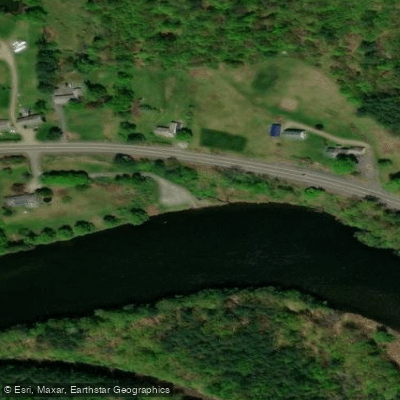
East Charlemont boat ramp
The East Charlemont boat ramp, located on Route 2 adjacent to the Park & Ride lot, provides access to the Deerfield River for paddling and fishing.
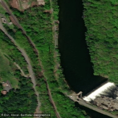
The ramp is situated upstream of the #4 station dam, with the section below the dam offering class II+ whitewater in high water conditions.
The trip downstream to this ramp from the Shunpike boat ramp is approximately eight miles and takes about two hours to paddle through mostly class I water with some class II sections.
Nearby points of interest
Find excellent fishing spots, easy access to boat ramps, and all the amenities you need for a memorable day. Your adventure starts here.
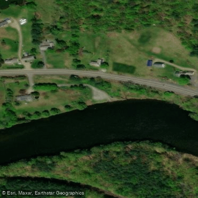
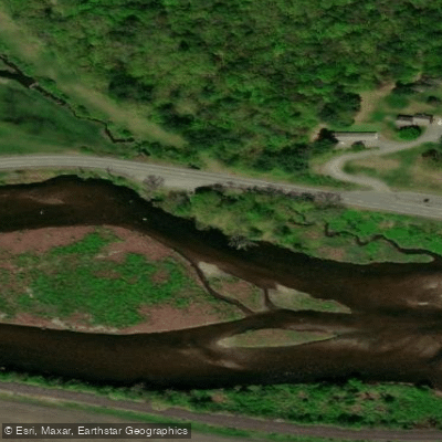
Water and weather conditions (10 day forecast)
Check the forecast at East Charlemont boat ramp before you go fishing.
No forecast data available.
Fishing near East Charlemont boat ramp
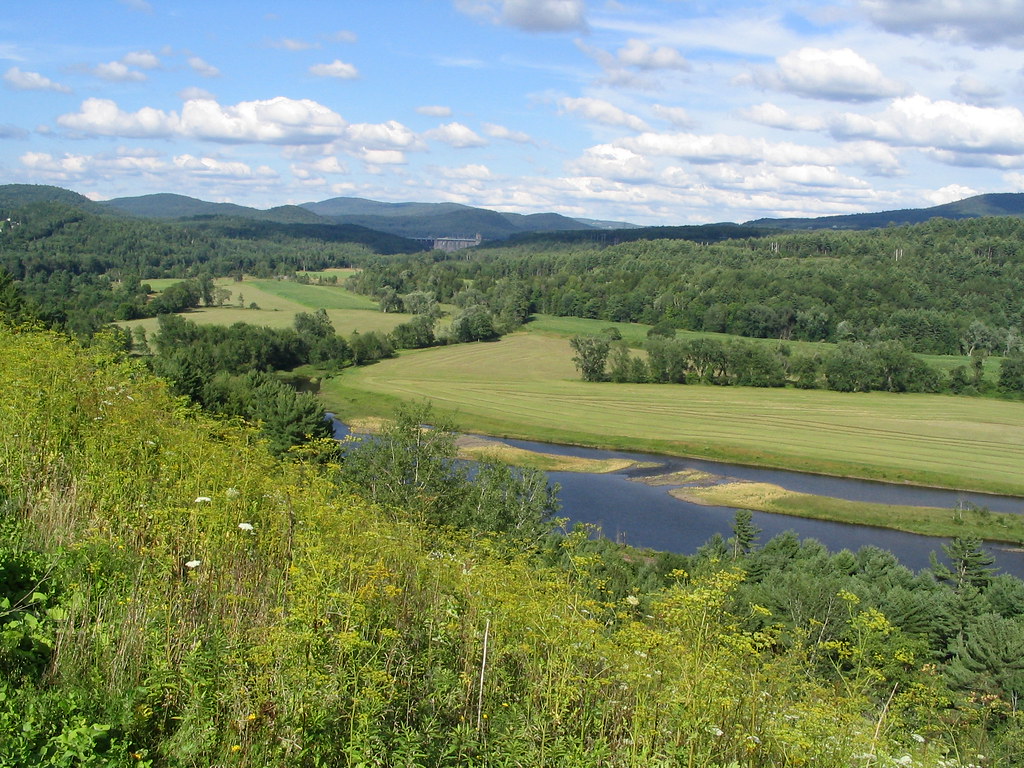
Connecticut River
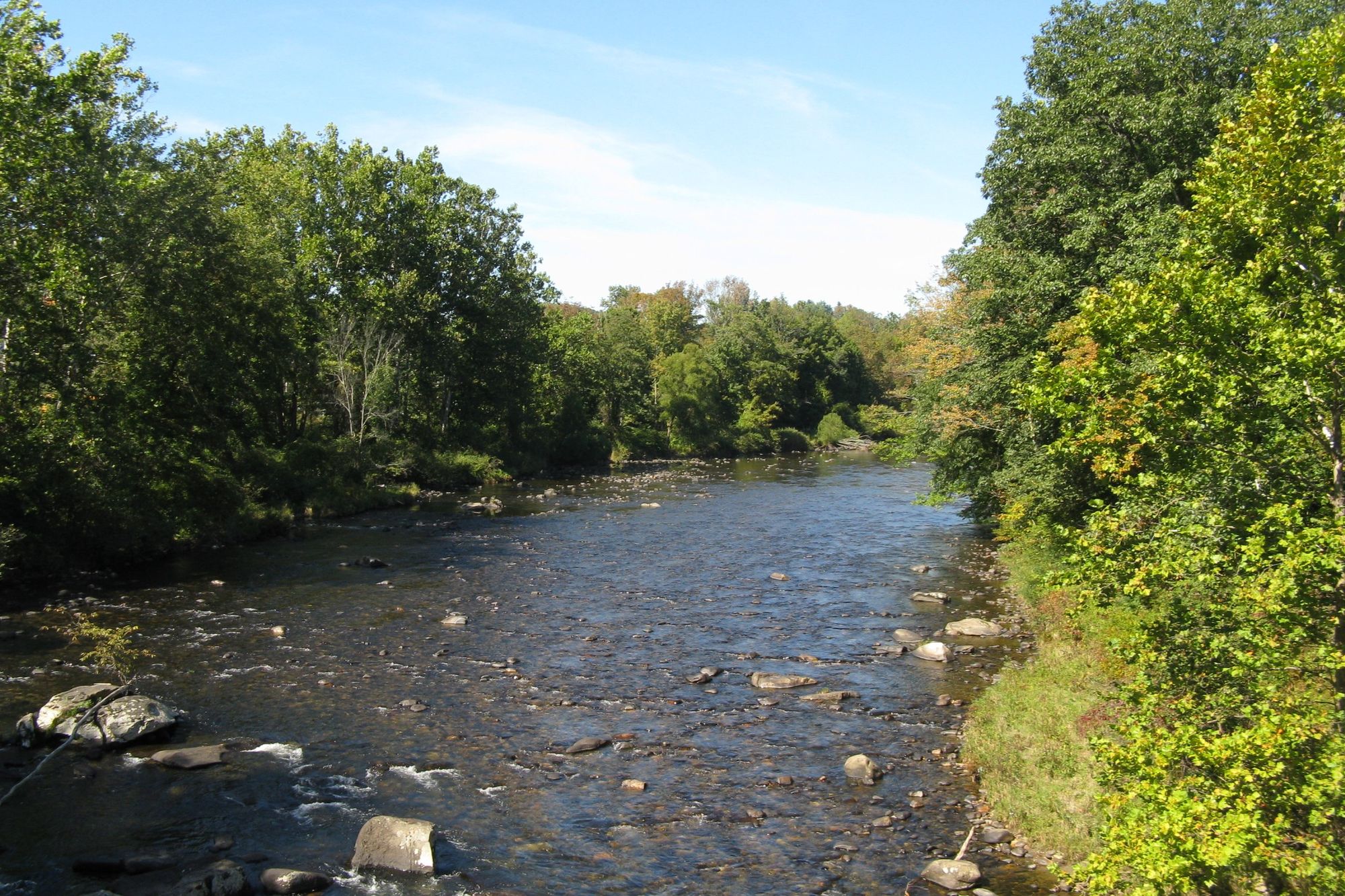
Westfield River
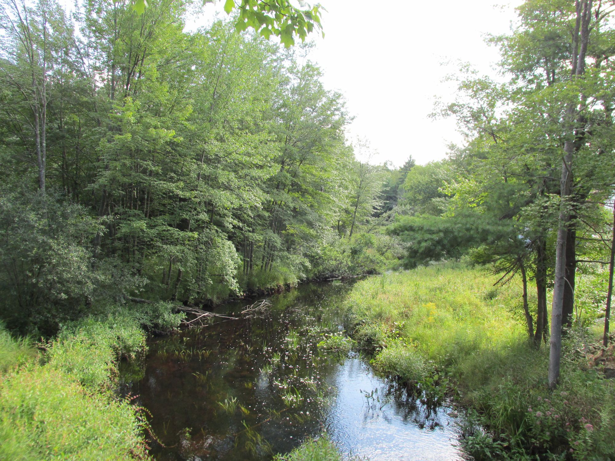
Millers River
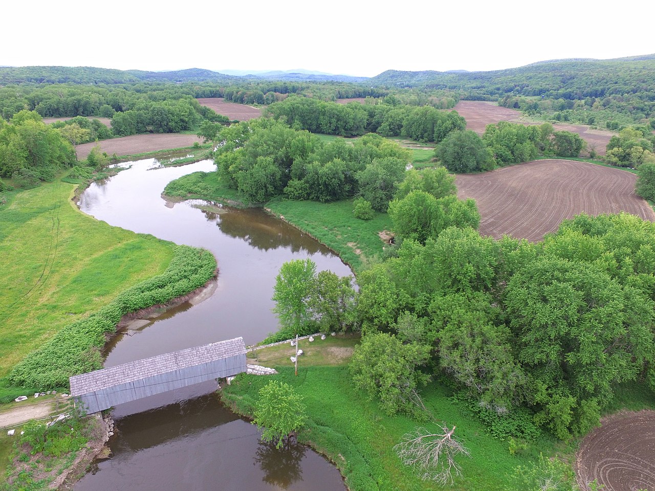
Housatonic River
Chicopee River
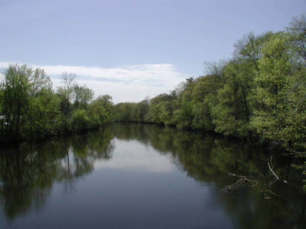
Farmington River

Wachusett Reservoir
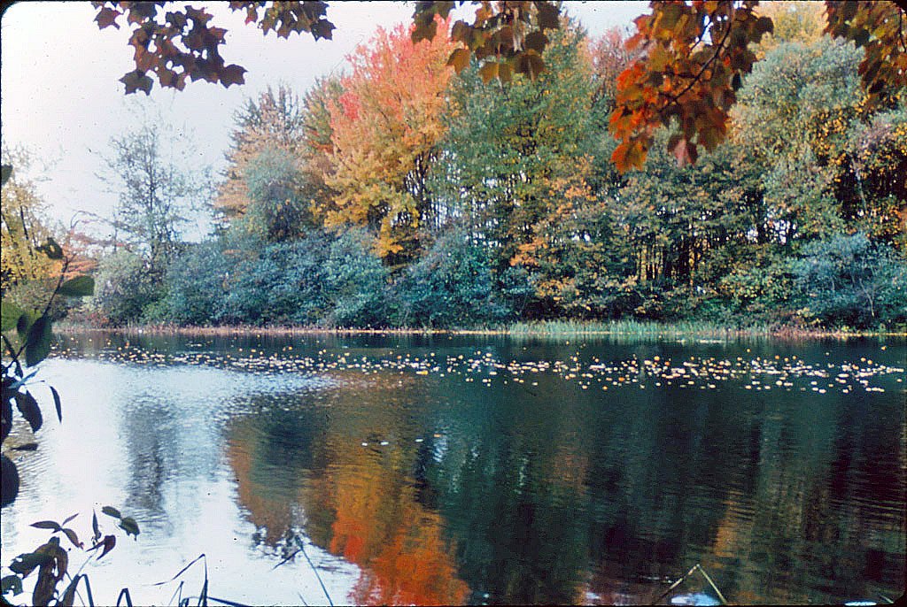
Ashuelot River
Willimantic River
Lake Quinsigamond
Massachusetts licenses and regulations
Explore Massachusetts waters
Top fishing waters
No waters available right now.
Popular Cities
Loading popular cities...
Explore near East Charlemont boat ramp
Nearby spots
- Bardwells Ferry Road boat ramp
- Gardner Falls Dam boat ramp
- McLeod Pond Boat Ramp
- Number 2 Dam boat ramp
- Wilcox Hollow boat ramp
- East Charlemont Fishing Access Site
- Gardner Falls Recreation Area Fishing Access Site
- Mohawk Tail Scenic Fishing Access Site
- South River State Forest Fishing Access Site
- Bardwells Ferry Bridge
- Bridge of Flowers
- Country Aire Campground
- All 13 nearby spots
Nearby waters
More in Massachusetts

Smarter Fishing Starts in the App.
onWater Fish gives you everything you need to plan smarter, fish better, and own every trip from first cast to last.