Connecticut River Greenway State Park
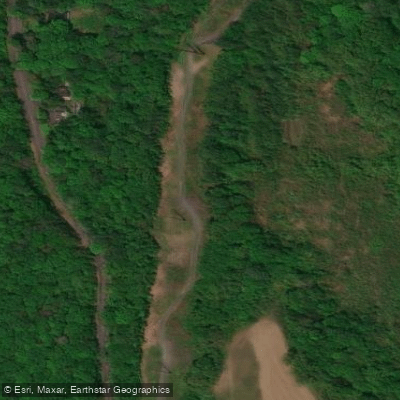
Connecticut River Greenway State Park
Connecticut River Greenway State Park spans over 12 miles of permanently protected shoreline across five towns (Northfield, Sunderland, Hadley, South Hadley, and Hatfield) with multiple river access points for boating and fishing.
Key access sites include the Pauchaug Brook boat launch in Northfield (paved ramp suitable for canoes and motorboats), a dirt road ramp at School Street in Sunderland (with parking at the public library), and a gravel boat ramp in Hatfield off Kellogg Hill Road (suitable for shallow draft boats and canoes with trailer parking).
The park connects open spaces, parks, scenic vistas, and historic sites along the Connecticut River, offering diverse recreational opportunities year-round.
Nearby points of interest
Find excellent fishing spots, easy access to boat ramps, and all the amenities you need for a memorable day. Your adventure starts here.
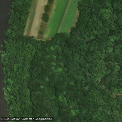
Connecticut River Access
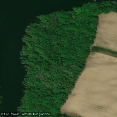
Connecticut River Fishing Access Site
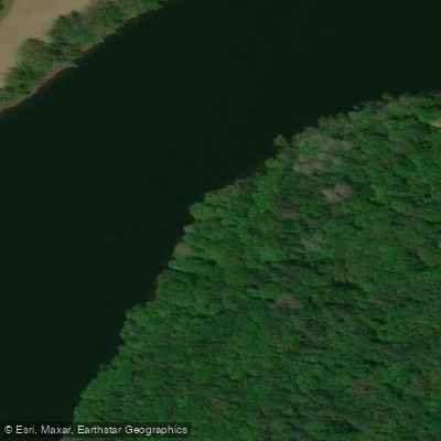
Connecticut River Greenway State Park
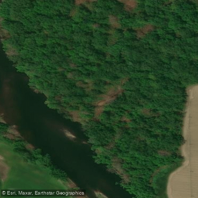
Deerfield River Public Fishing Access Site
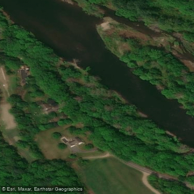
Deerfield River Public Fishing Access Site
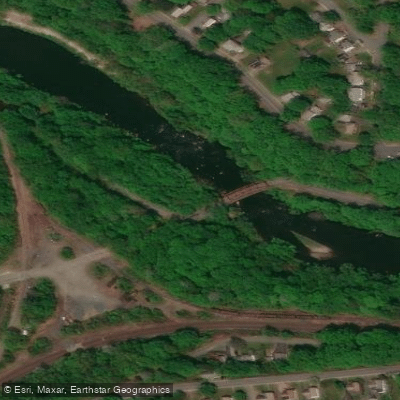
E Main Street Fishing Access Site
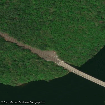
French King Highway Access
Water and weather conditions (10 day forecast)
Check the forecast at Connecticut River Greenway State Park before you go fishing.
No forecast data available.
Fishing near Connecticut River Greenway State Park
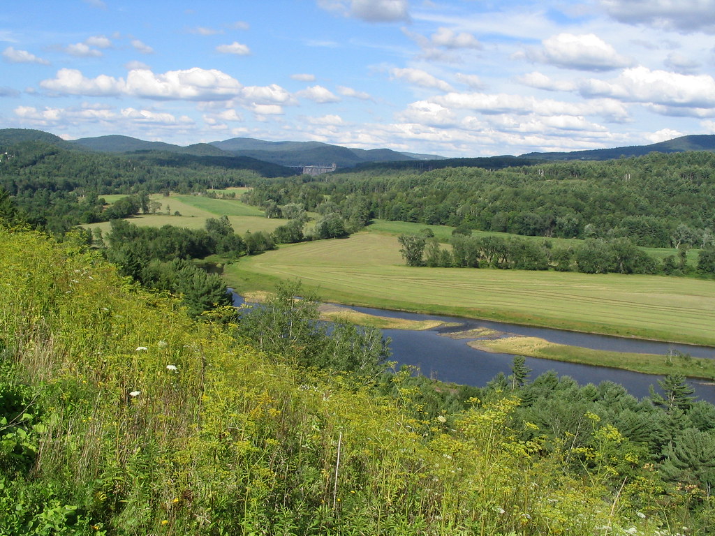
Connecticut River
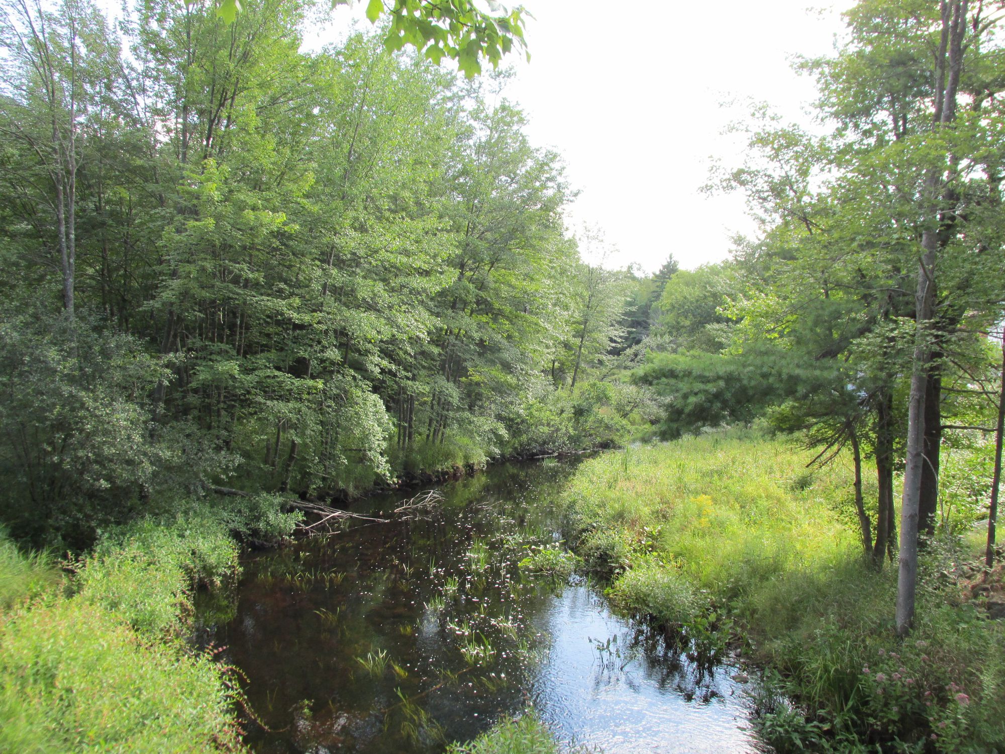
Millers River
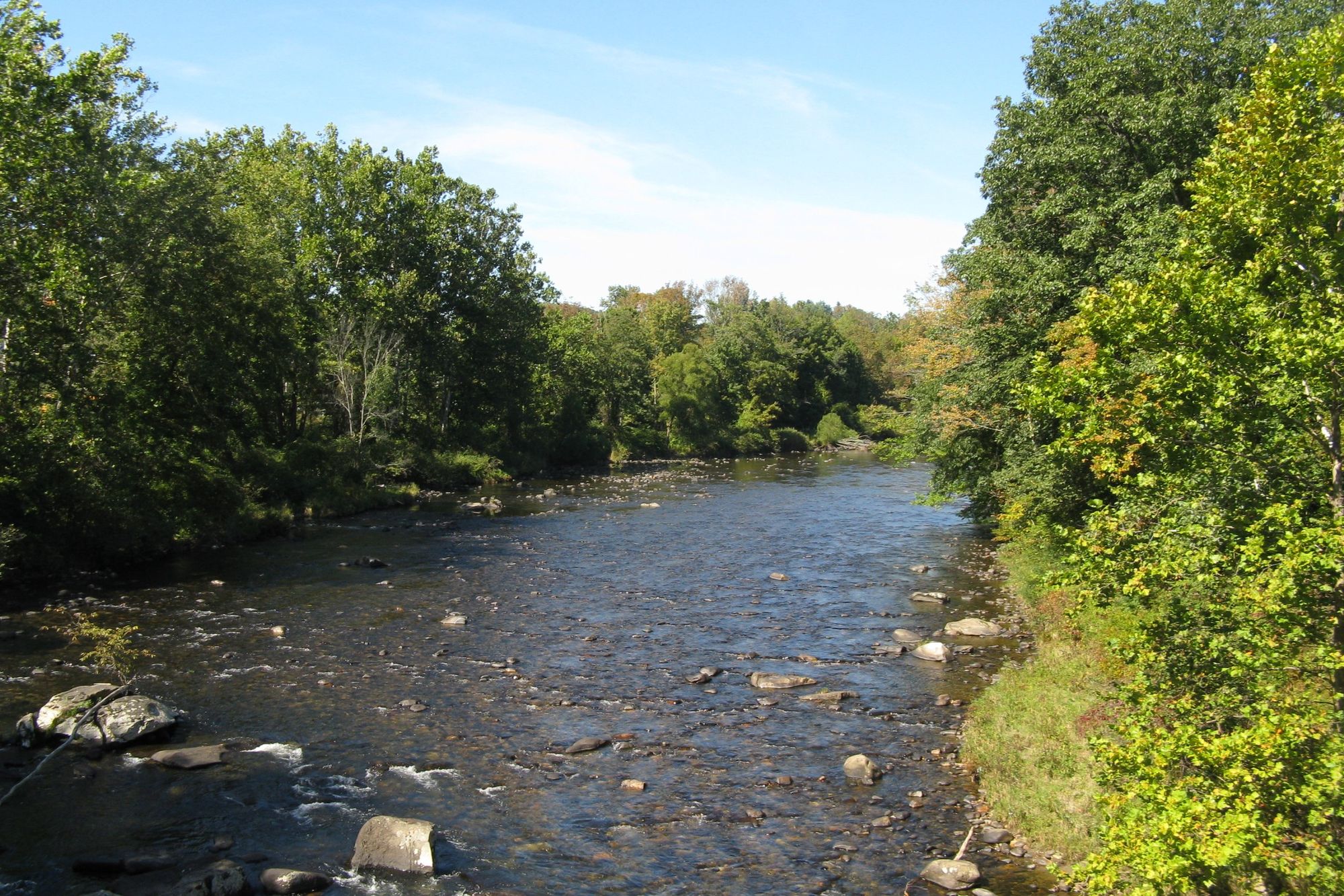
Westfield River

Wachusett Reservoir
Chicopee River
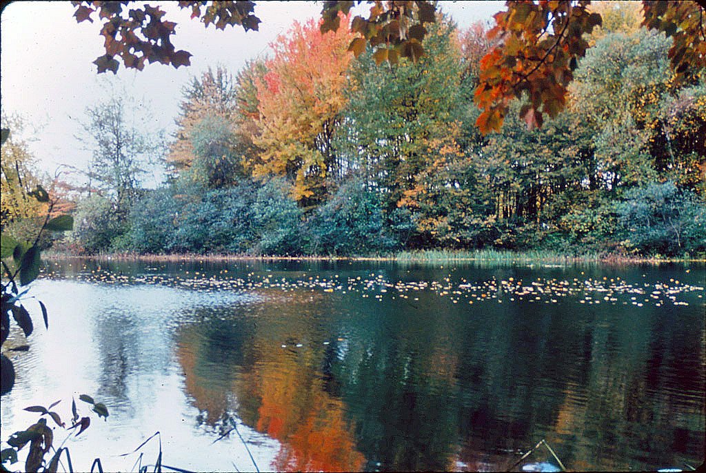
Ashuelot River
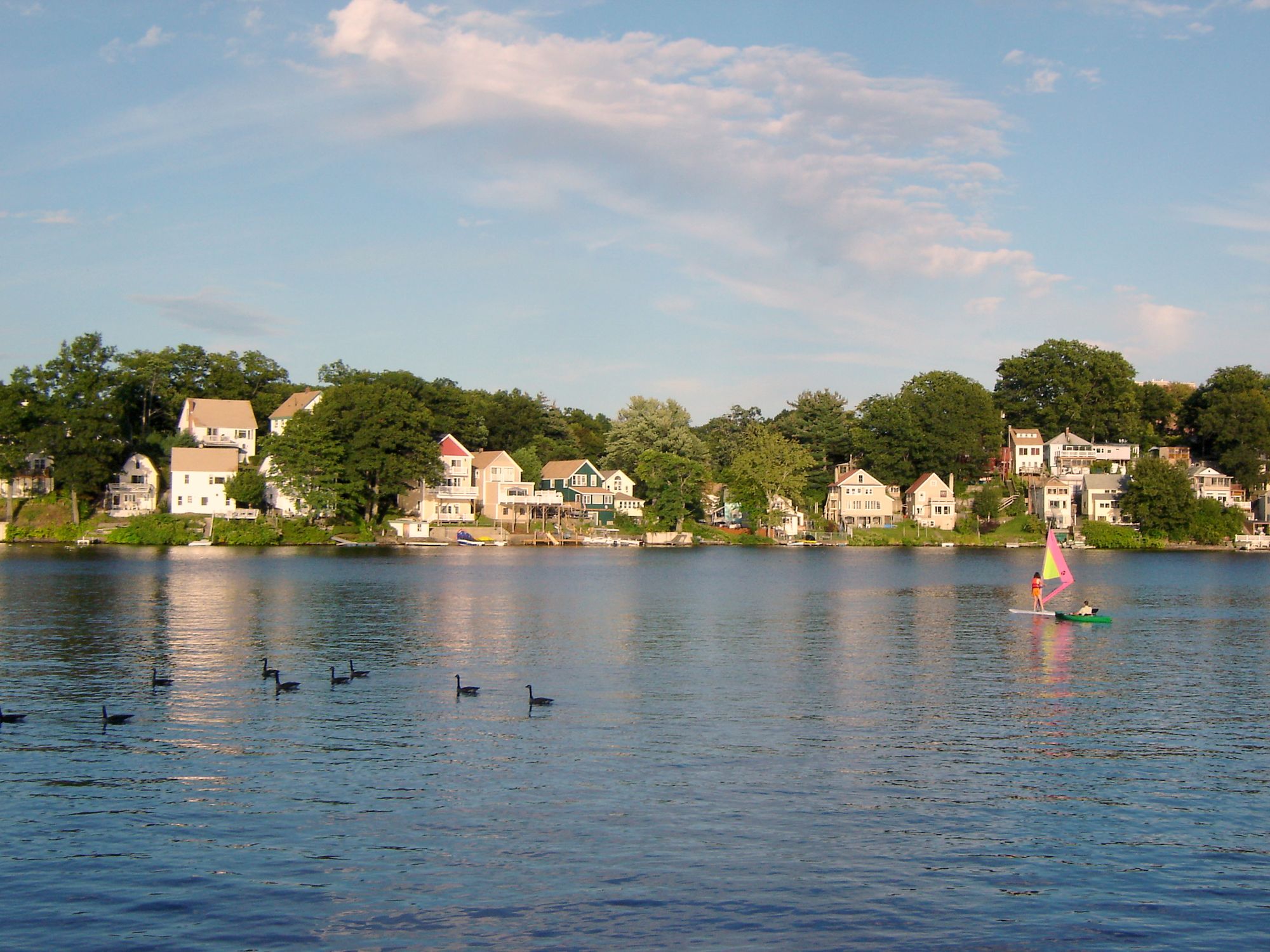
Lake Quinsigamond
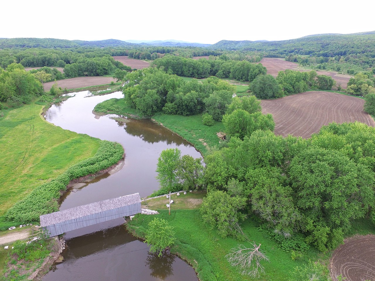
Housatonic River
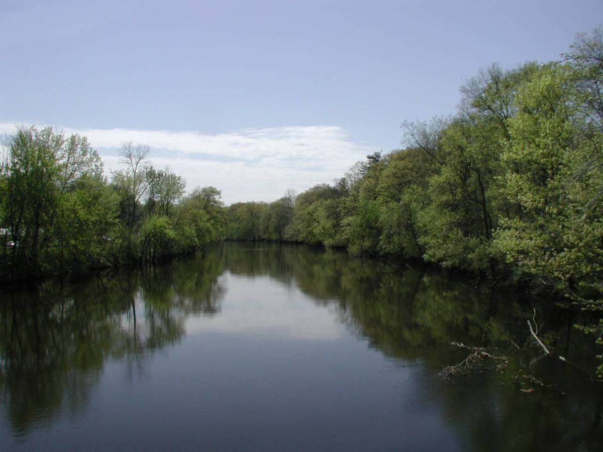
Farmington River
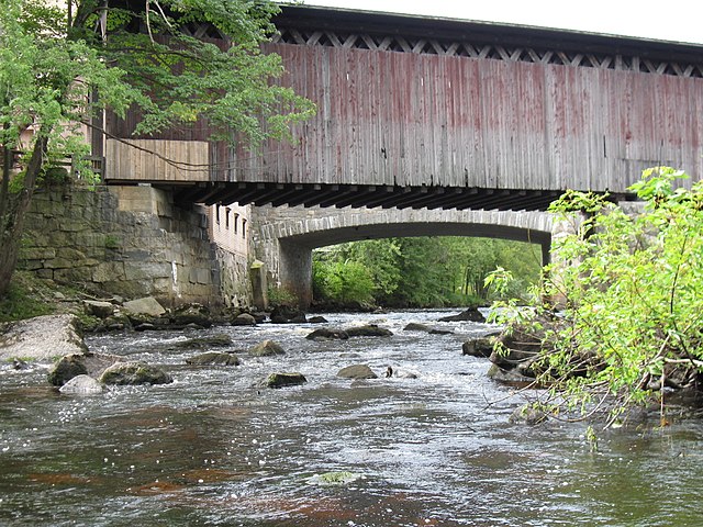
Contoocook River
Massachusetts licenses and regulations
Explore Massachusetts waters
Top fishing waters
No waters available right now.
Popular Cities
Loading popular cities...
Explore near Connecticut River Greenway State Park
Nearby spots
- Bardwells Ferry Road boat ramp
- Barton Cove Boat Ramp
- Cabot's Camp boat ramp
- Connecticut River Greenway State Park boat ramp
- Stillwater Bridge boat ramp
- Connecticut River Access
- Connecticut River Fishing Access Site
- Connecticut River Greenway State Park
- Deerfield River Public Fishing Access Site
- E Main Street Fishing Access Site
- French King Highway Access
- Bardwells Ferry Bridge
- All 15 nearby spots
Nearby waters
More in Massachusetts

Smarter Fishing Starts in the App.
onWater Fish gives you everything you need to plan smarter, fish better, and own every trip from first cast to last.