Antietam Battlefield Park Route 34 Bridge Access
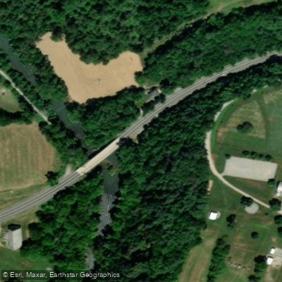
Antietam Battlefield Park Route 34 Bridge Access
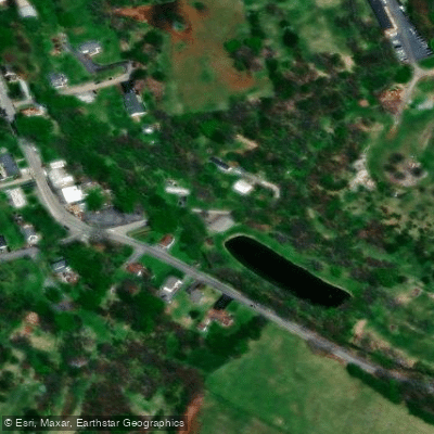
This Route 34 bridge crossing provides access to the Antietam Creek area near the historic Antietam National Battlefield, with a large parking area located approximately 0. 1 mile downstream from the bridge.
The location serves as a convenient access point for paddlers and offers proximity to Shepherdstown, West Virginia (about 3/4 mile across the bridge) for dining and lodging options.
This is a strategic crossing point historically used during the Civil War and remains an important connection between the northern and southern sections of the battlefield for modern visitors.
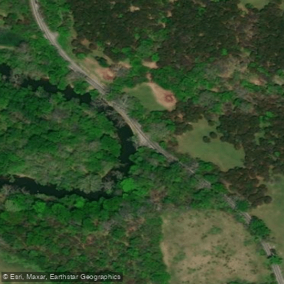
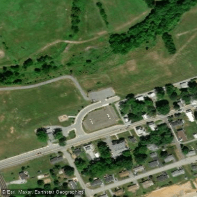
Nearby points of interest
Find excellent fishing spots, easy access to boat ramps, and all the amenities you need for a memorable day. Your adventure starts here.
Water and weather conditions (10 day forecast)
Check the forecast at Antietam Battlefield Park Route 34 Bridge Access before you go fishing.
No forecast data available.
Fishing near Antietam Battlefield Park Route 34 Bridge Access
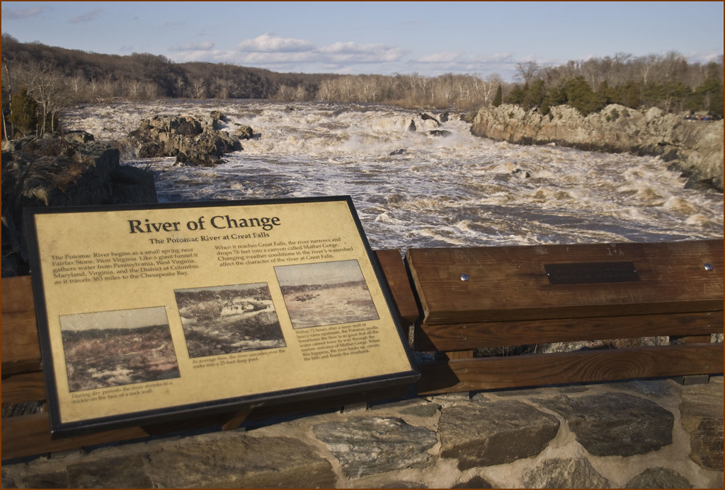
Potomac River
Monocacy River
Shenandoah River
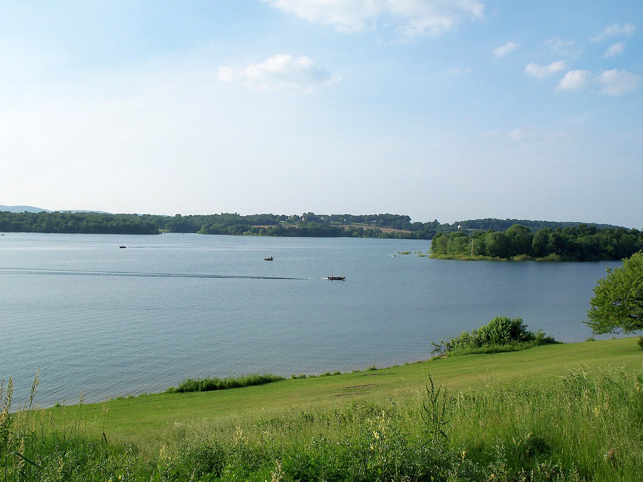
Lake Marburg
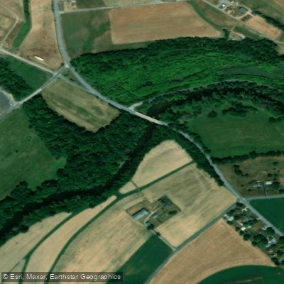
Conodoguinet Creek
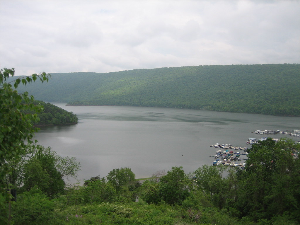
Raystown Lake
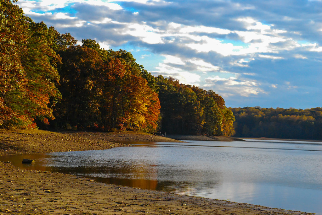
Triadelphia Reservoir
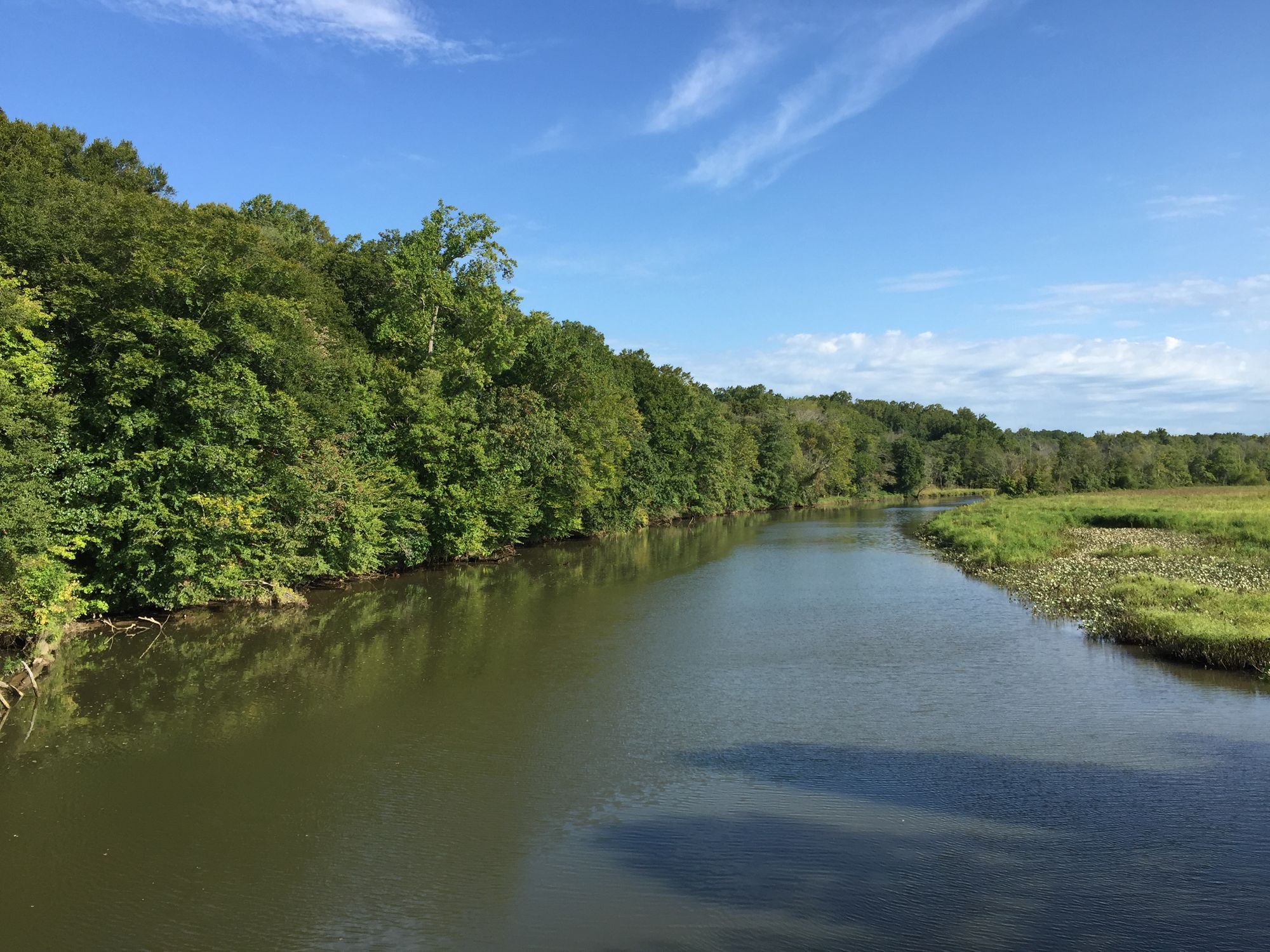
Patuxent River
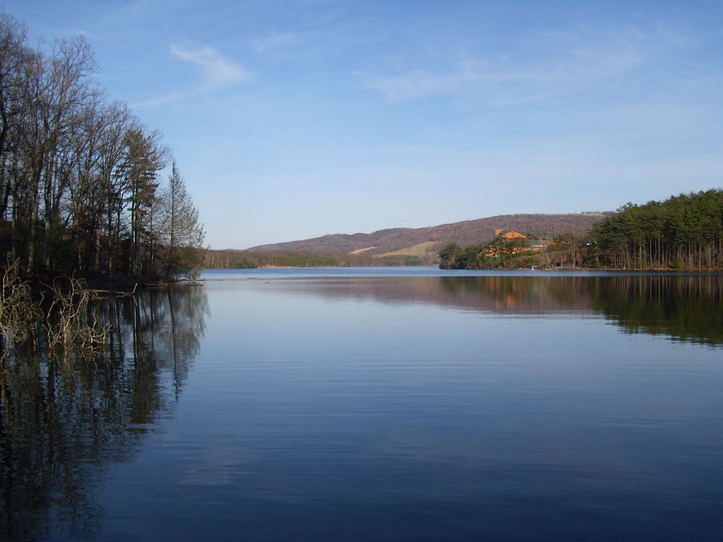
Lake Habeeb
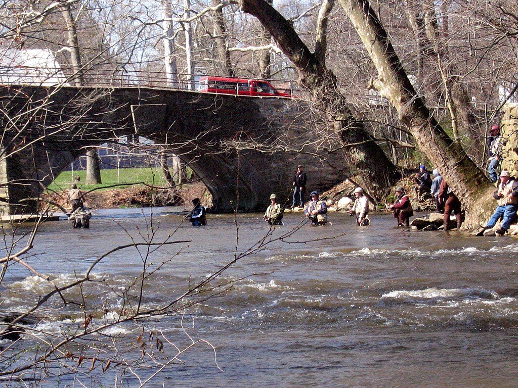
Yellow Breeches Creek
Maryland licenses and regulations
Explore Maryland waters
Top fishing waters
No waters available right now.
Popular Cities
Loading popular cities...
Explore near Antietam Battlefield Park Route 34 Bridge Access
Nearby spots
- Abell's Wharf Boat Ramp
- Antietam Creek Aqueduct Boat Ramp
- Antietam Creek Campground
- Devil's Backbone Park Boat Ramp
- Shepherdstown Pike Bridge Boat Ramp
- Snyders Landing Boat Ramp
- St. Clement's Island Museum Boat Ramp
- Antietam Creek Mollies Hole Access
- Packhorse Ford Access
- Shafer Memorial Park Access
- Sharpsburg Pond Access
- Big Woods Hiker Biker Campsite
- All 14 nearby spots
Nearby waters
More in Maryland

Smarter Fishing Starts in the App.
onWater Fish gives you everything you need to plan smarter, fish better, and own every trip from first cast to last.