Mount Desert Narrows
- Saltwater
- Bay
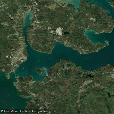
Mount Desert Narrows
- Saltwater
- Bay
- Sq. miles
- 6.7
- Boat Ramps
- 2
- Access Points
- 0
- Species
- 5
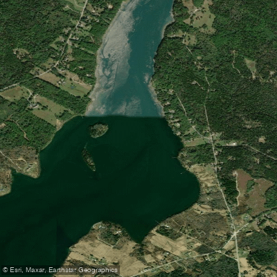
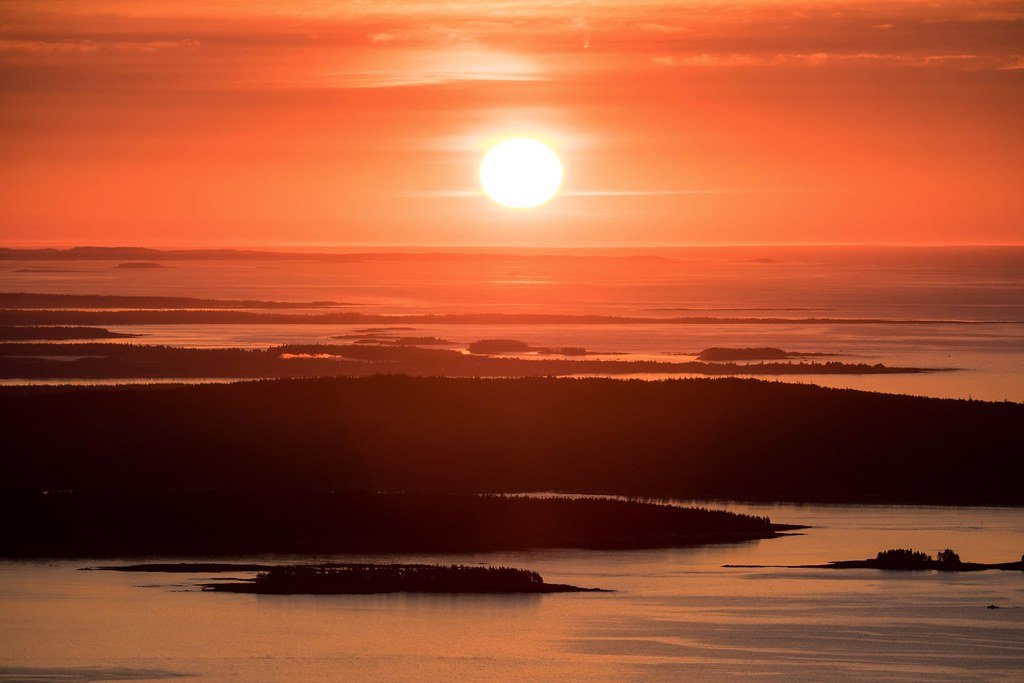
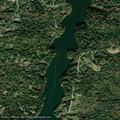
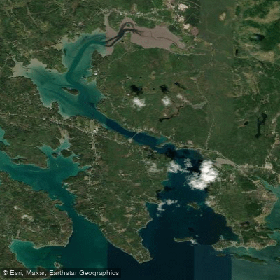
Mount Desert Narrows is the protected tidal channel separating Mount Desert Island from the mainland, offering a scenic and productive inshore saltwater fishery. This body of water is known for its calm, sheltered conditions, making it an excellent destination for kayak anglers and small boat fishermen seeking refuge from the open Atlantic. The area features a mix of rocky shorelines, extensive tidal mudflats, and a significant freshwater creek entering the saltwater, creating diverse habitats. It is a gateway to exploring the islands and coves of Frenchman Bay and is prized for its wildlife viewing, including bald eagles, harbor porpoises, and seals.
Species & education
Learn what type of fish are at Mount Desert Narrows and what's needed to catch them.

Find which waters have the species you want to catch

Atlantic Mackerel
Scomber scombrus

Bluefish
Pomatomus saltatrix

Pollock
Pollachius virens
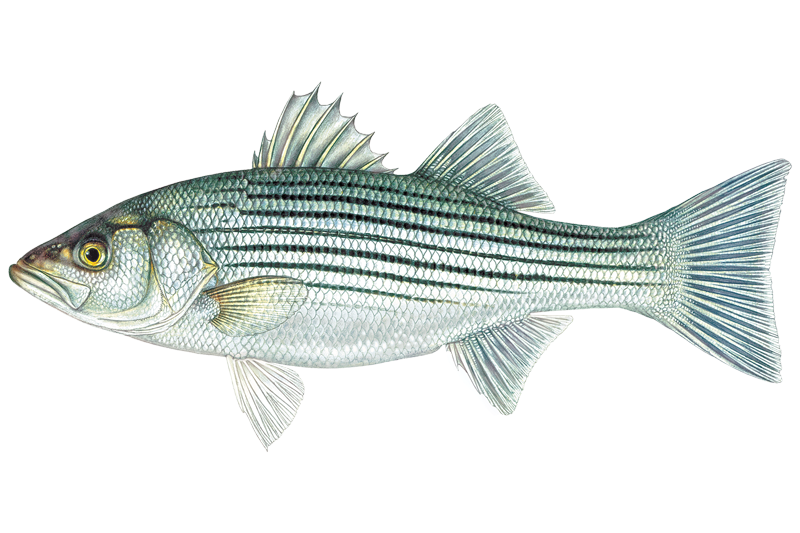
Striped Bass
Morone saxatilis

Winter Flounder
Pseudopleuronectes americanus
Fishing spots, boat ramps & amenities
Learn how to get on Mount Desert Narrows. Uncover great fishing access points, boat ramps, and all the facilities you need for an unforgettable day on the water. Some locations shown may border or include private property. Always check property boundaries and applicable regulations before visiting. onWater's Public & Private Land layer can help you plan your access with confidence.
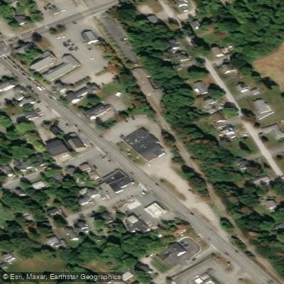
Know where you can legally fish on Mount Desert Narrows
See public and private land boundaries along the water, turn on private parcels with owner details to know where permission is required, and find land-trust parcels that offer permitted fishing access.
Maine licenses and regulations

Maine Boating Regulations
When using any type of watercraft to access a body of water, it is important to follow all federal, state, and local rules and regulations. These rules and regulations include boat permitting and licensing, invasive species inspections and stamps, life jacket and PFD rules, motor size and horsepower restrictions, noise limitations, restrictions on personal watercraft, and many more. Visit the web link below for the most current rules and regulations for this body of water.

Maine Coastal & Inland Waters
Maine's coastal and tidal waters are regulated by the Department of Marine Resources, while inland waters fall under the Maine Department of Inland Fisheries and Wildlife. A valid freshwater fishing license covers inland waters, and the Saltwater Recreational Fishing Registry covers tidal and marine waters. In tidal portions of rivers, DMR regulations specify gear restrictions and closed areas by body of water.

Maine Federal Waters & Offshore Rules
Registering in Maine's Saltwater Fishing Registry automatically enrolls you in the National Saltwater Angler Registry, but additional federal permits are required for fishing beyond state waters. For-hire vessels fishing federally managed species from 3 to 200 nautical miles offshore must hold federal permits, and anyone targeting highly migratory species such as tuna or billfish needs an Atlantic HMS permit from NOAA Fisheries. The New England Fishery Management Council and NOAA Fisheries set the rules that apply in federal waters.

Maine Saltwater Fishing License
Anyone 16 or older must register annually with Maine's Saltwater Recreational Fishing Registry, managed by the Department of Marine Resources, before fishing in coastal waters. Key exemptions include passengers on licensed for-hire charter or party boats, anglers who hold a valid Maine freshwater fishing license, and Maine residents fishing only on Memorial Day weekend, July 4th, or Labor Day weekend. Anglers already registered in another state or the National Registry are also exempt.

Maine Saltwater Size & Bag Limits
Size and bag limits apply to recreational species and are updated throughout the year by the Department of Marine Resources. Current rules for species including striped bass, groundfish, and sea-run sportfish are published as printable summaries on the DMR website. Check the DMR regulations page before each trip, as seasons and limits can change mid-year.

Maine Shellfish Closures & Advisories
Recreational shellfish licenses for species such as oysters, clams, and scallops are issued at the municipal level, so requirements vary by town. The Department of Marine Resources closes growing areas when bacterial contamination, biotoxins, red tide, or rainfall make harvesting unsafe. Current closure notices and maps for all coastal growing areas are posted on the DMR shellfish closures page, which is updated regularly.
Take Mount Desert Narrows with you
The onWater Fish app keeps this water's access points, species and conditions in your pocket, with the tools you use once you're there.
Use the map without signal
Download the map around Mount Desert Narrows to use it offline when coverage drops.
Log your catches here
Keep a private fishing journal for Mount Desert Narrows to find where and when fish are biting for you.
Get the onWater Fish app
Free on iOS and Android
Tides, wind & water conditions (10 day forecast)
On open water, wind and tide matter as much as the weather. See the best times to fish Mount Desert Narrows and check the marine forecast before you launch.
Loading tide predictions…
Fishing near Mount Desert Narrows
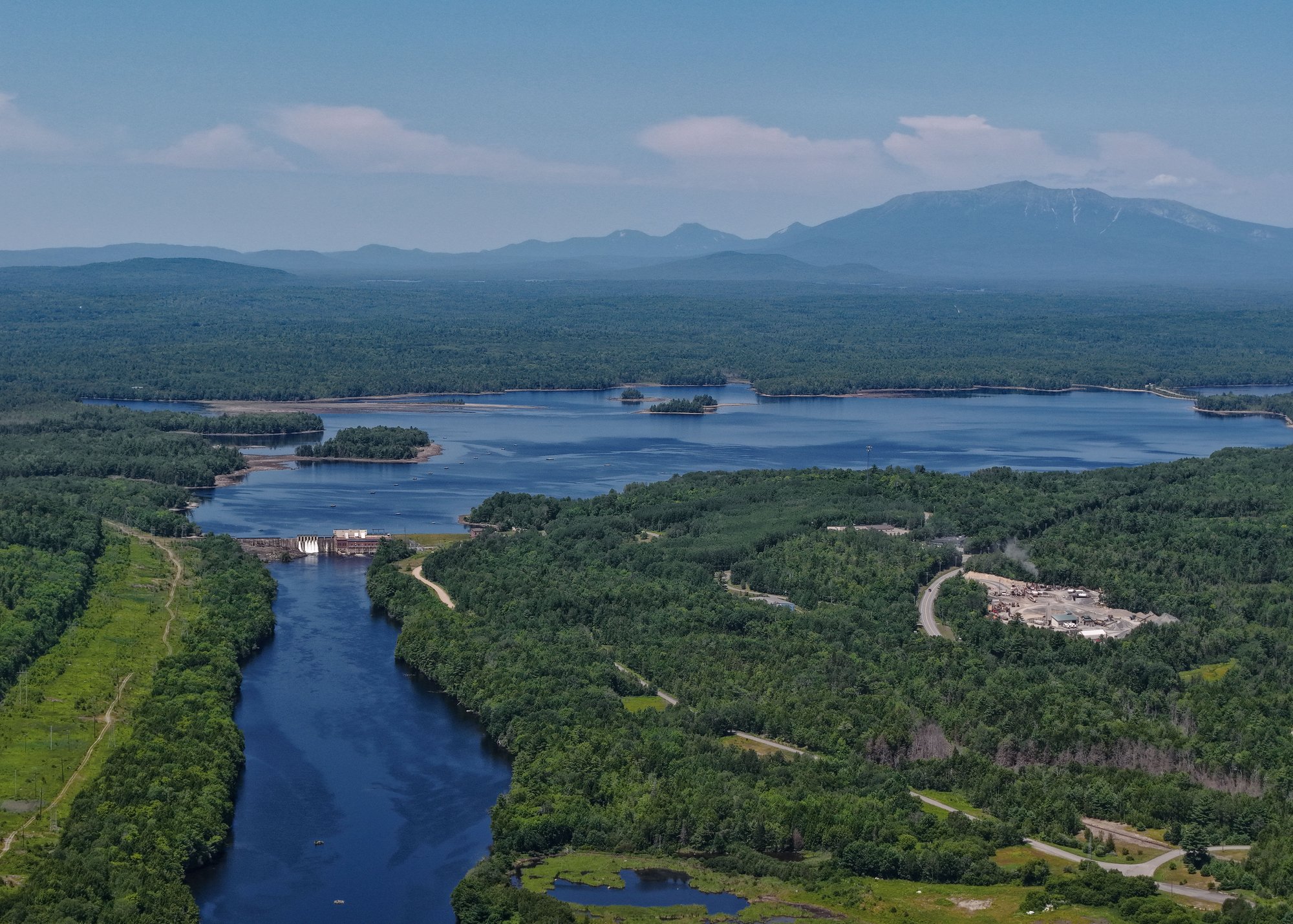

Explore Maine waters
Top fishing waters
Popular Cities
Loading popular cities...
Explore near Mount Desert Narrows
Fishing spots
Nearby waters
More in Maine

Smarter Fishing Starts in the App.
onWater Fish gives you everything you need to plan smarter, fish better, and own every trip from first cast to last.