Mouth of Laurel Boat Ramp
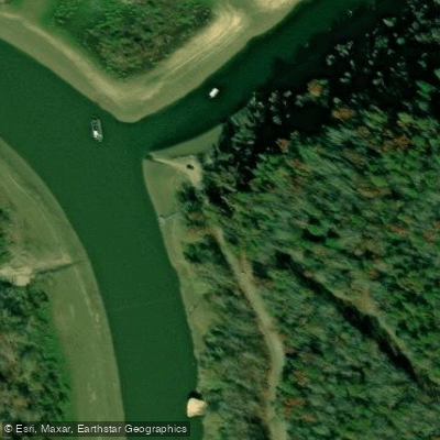
Mouth of Laurel Boat Ramp
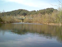
Located at the confluence of Laurel River and Lake Cumberland, this paved single-lane boat ramp accommodates light trailerable recreational boats and serves as the take-out point for the 11.
6-mile Class III whitewater section from Cumberland Falls (a 4-6 hour paddle). The site offers year-round 24-hour access with parking, restrooms, and vault toilets that meet accessibility standards, though potable water is not available.
Nearby points of interest
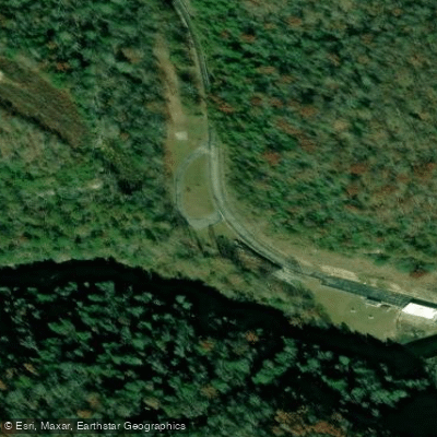
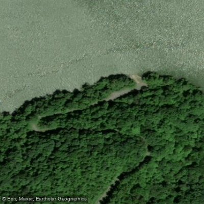
Find excellent fishing spots, easy access to boat ramps, and all the amenities you need for a memorable day. Your adventure starts here.
Water and weather conditions (10 day forecast)
Check the forecast at Mouth of Laurel Boat Ramp before you go fishing.
No forecast data available.
Fishing near Mouth of Laurel Boat Ramp
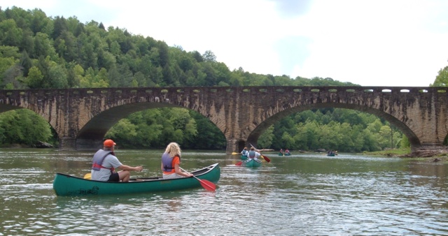
Cumberland River
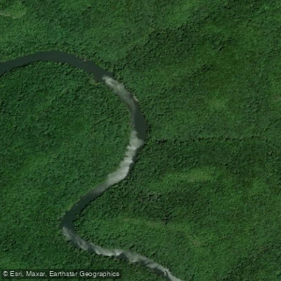
Big South Fork Cumberland River
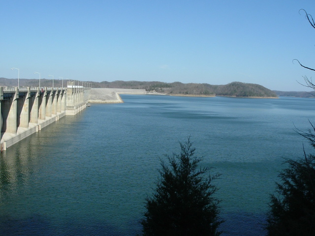
Lake Cumberland
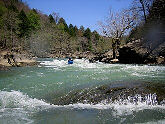
Rockcastle River
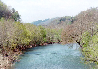
Clinch River
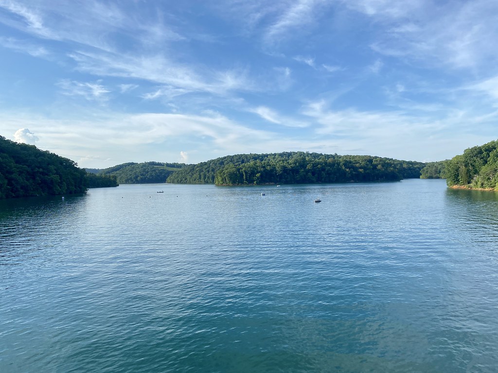
Norris Lake
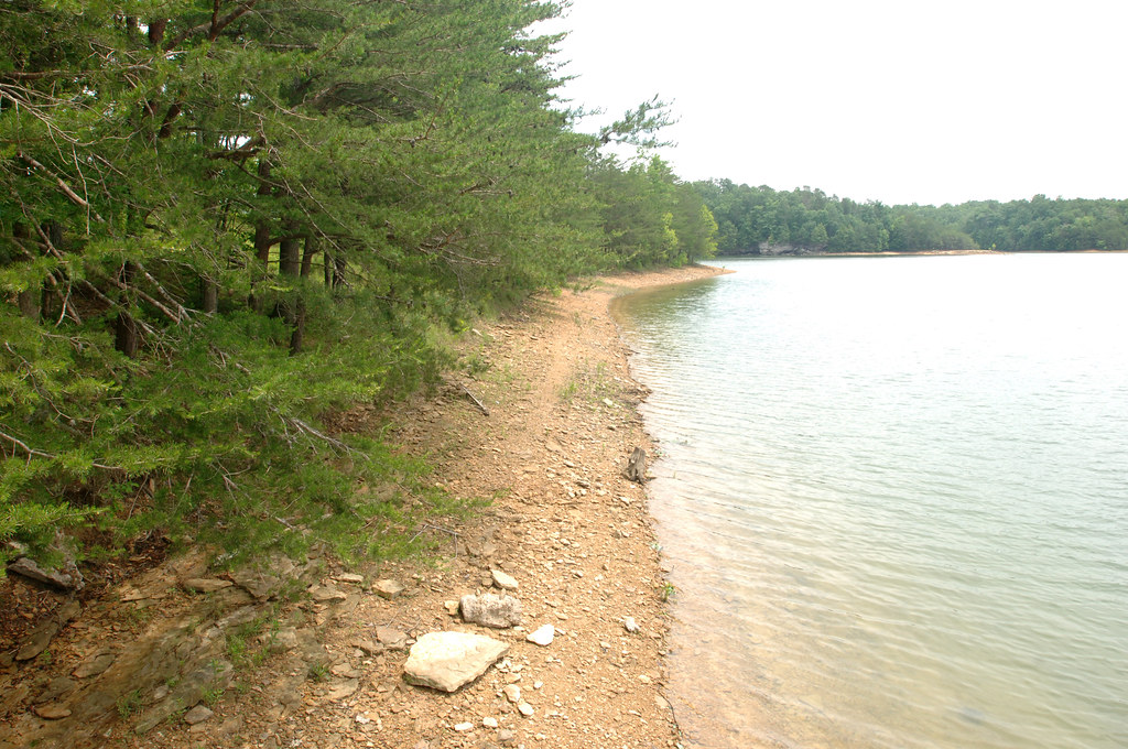
Laurel River Lake
Cove Creek
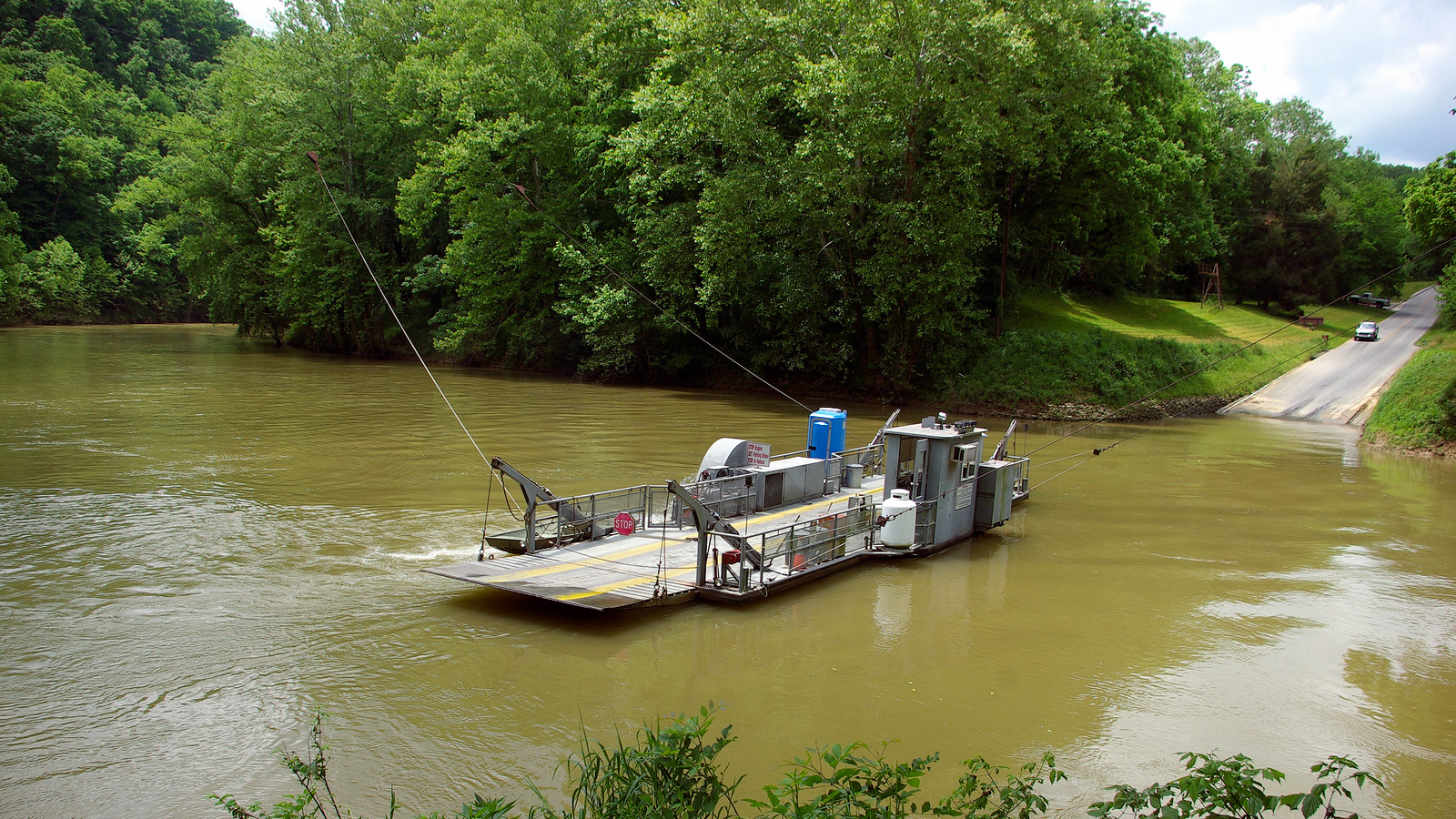
Green River
Emory River
Kentucky licenses and regulations
Explore Kentucky waters
Top fishing waters
No waters available right now.
Popular Cities
Loading popular cities...
Explore near Mouth of Laurel Boat Ramp
Nearby spots
- Beaver Creek Wildlife Management Area Marina Boat Ramp
- Craigs Creek Boat Ramp
- Flatwoods Boat Ramp
- Grove Marina and Boat Ramp
- Holly Bay Campers Only Boat Ramp
- Holly Bay Marina and Boat Ramp
- Marsh Branch Boat Ramp
- Noe's Dock #2 Boat Ramp
- Sawyer Recreation Area Boat Ramp
- LRL Tailwater Access
- Grove Drive-in Campground
- White Oak Boat-In Campground
Nearby waters
More in Kentucky

Smarter Fishing Starts in the App.
onWater Fish gives you everything you need to plan smarter, fish better, and own every trip from first cast to last.