Des Plaines River Trail
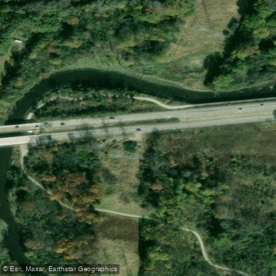
Des Plaines River Trail
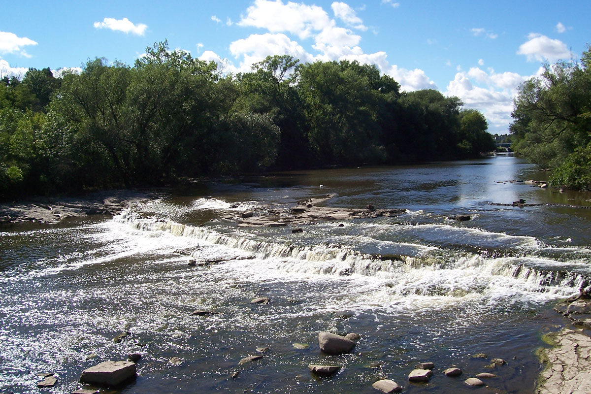
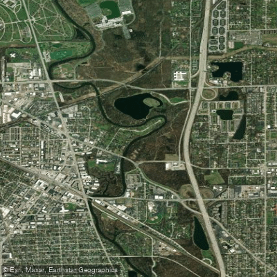
The Des Plaines River Trail is a 28+ mile continuous multi-use trail in Lake County featuring crushed stone surfaces, bridges, and underpasses for road crossings, making it ideal for biking, hiking, and horseback riding.
Multiple canoe launches and parking areas provide access for paddlers, though parking at canoe launch areas should be avoided on weekends to accommodate river users.
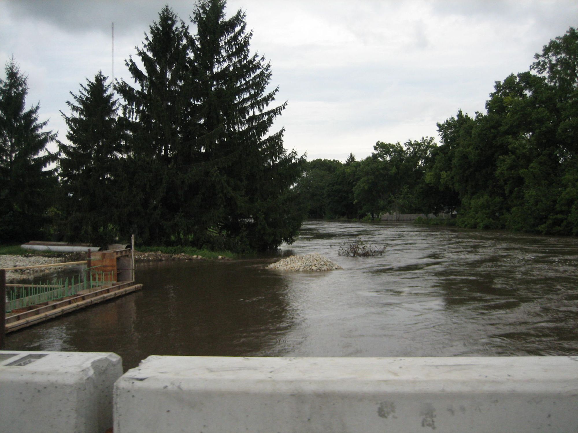
Be aware that trail sections and road underpasses are prone to flooding during heavy rains, particularly at Route 60, Route 120, and Grand Avenue crossings.
More ways to access Des Plaines River
Explore the wonders of Des Plaines River! Find excellent fishing spots, easy access to boat ramps, and all the amenities you need for a memorable day by the water. Your adventure starts here.
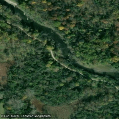
Adler Memorial Park
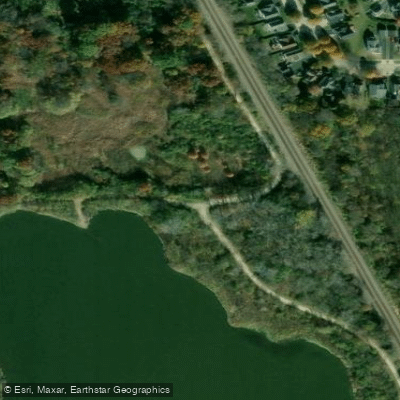
Des Plaines River Trail
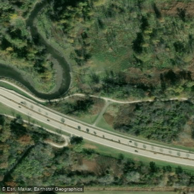
Des Plaines River Trail
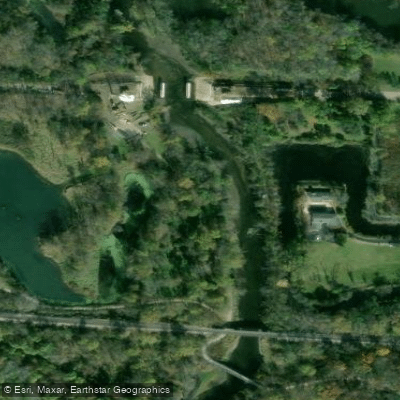
Des Plaines River Trail Parking Access
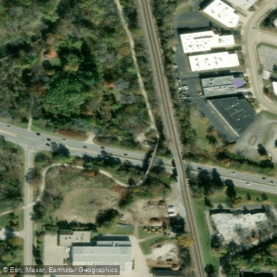
Des Plaines River Trail - Skokie Hwy
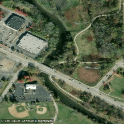
Esper Petersen Park Trail
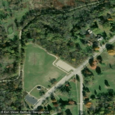
Gurnee Public Park
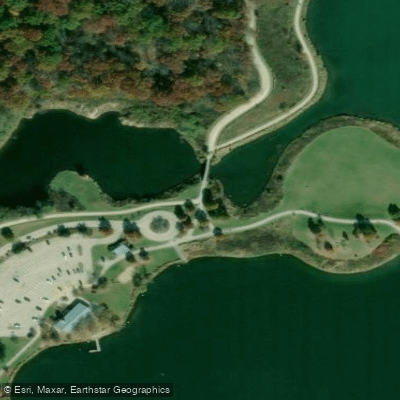
Independence Grove
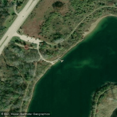
Lake Carina Preserve Parking
Water and weather conditions (10 day forecast)
Check the forecast at Des Plaines River Trail before you go fishing.
No forecast data available.
Fishing near Des Plaines River Trail

Lake Michigan
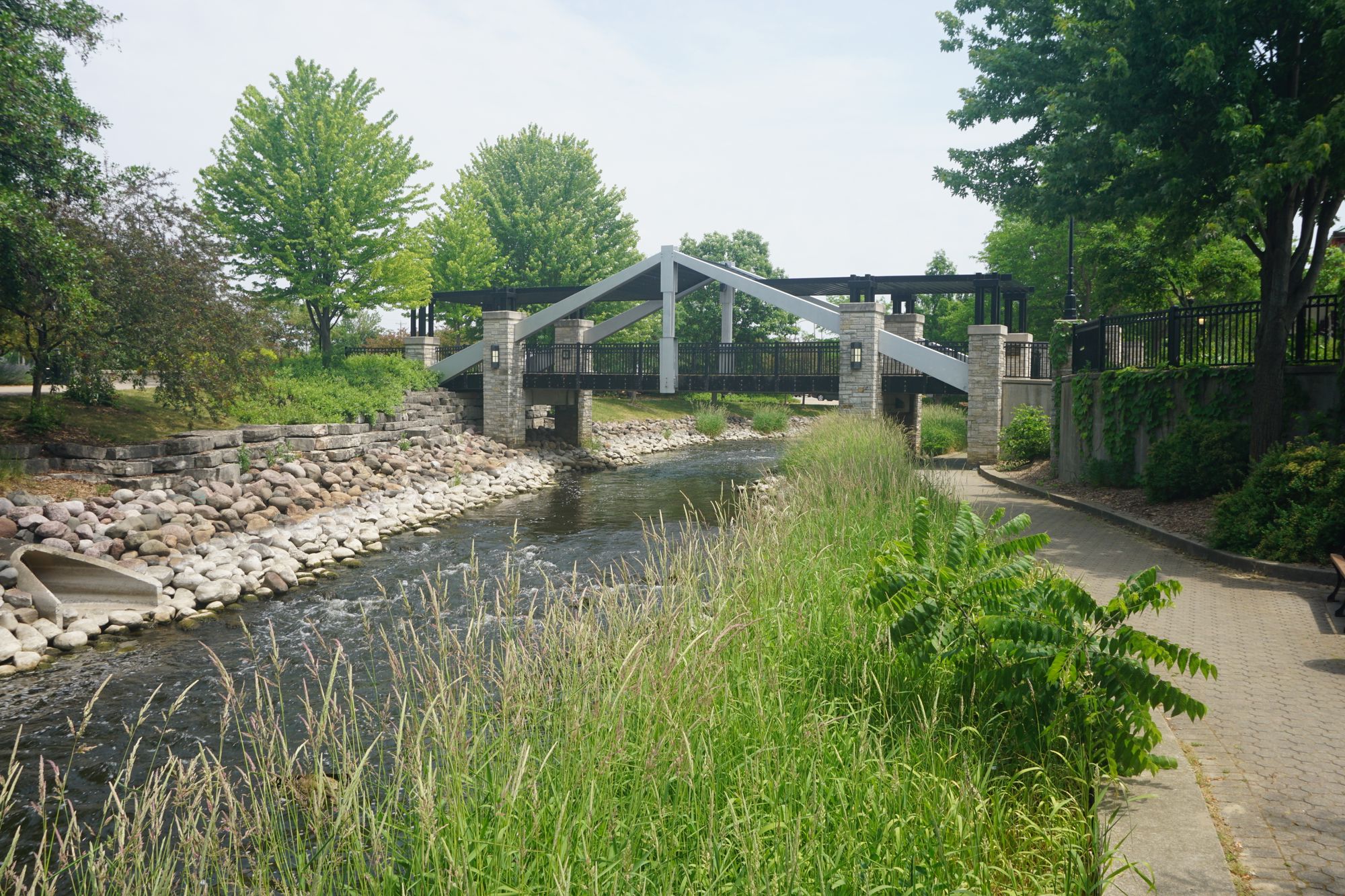
Fox River
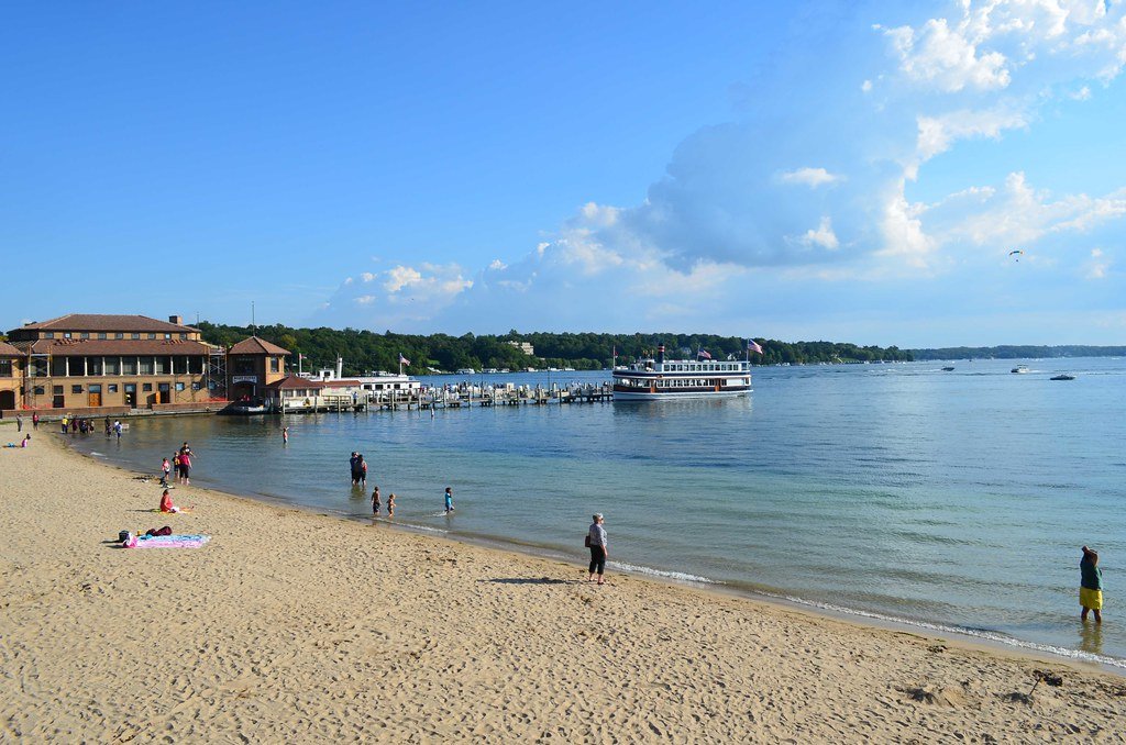
Lake Geneva
Kishwaukee River
Milwaukee River
Des Plaines River
Sterling Lake
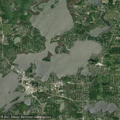
Nippersink Lake
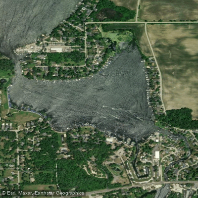
Bluff Lake
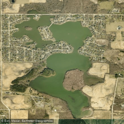
Benet Lake
Illinois licenses and regulations
Explore Illinois waters
Top fishing waters
No waters available right now.
Popular Cities
Loading popular cities...
Explore near Des Plaines River Trail
On this water
Nearby spots
- Gowe Memorial Park Boat Ramp
- Independence Grove Canoe Launch
- Oak Spring Road Canoe Launch
- Pebble Beach Park Boat Ramp
- Riverside Park Canoe Launch
- Sunset Beach Park Boat Ramp
- Adler Memorial Park
- Des Plaines River Trail
- Des Plaines River Trail Parking Access
- Des Plaines River Trail - Skokie Hwy
- Esper Petersen Park Trail
- Gurnee Public Park
- All 19 nearby spots
Nearby waters
More in Illinois

Smarter Fishing Starts in the App.
onWater Fish gives you everything you need to plan smarter, fish better, and own every trip from first cast to last.