Middle Fork Road Access
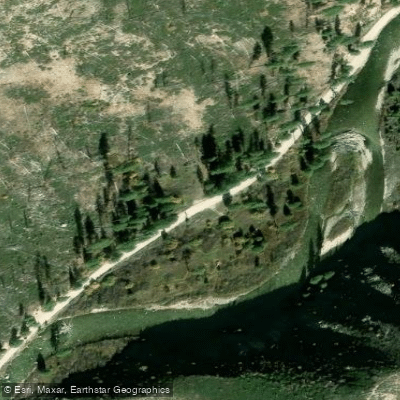
Middle Fork Road Access
Middle Fork Road Access provides entry to a scenic 29-waypoint route along the Middle Fork Boise River that can be enjoyed year-round, featuring diverse scenery including natural hot springs, waterfalls, and rock formations.
The road is managed by the Boise National Forest and ends at the historic mining town of Atlanta; it follows water the entire route starting from Arrowrock Reservoir and continuing along the Middle Fork Boise River flowing from the Sawtooth Wilderness.
The area offers excellent opportunities for camping, hot spring soaking, boating, fishing, horseback riding, and snowmobiling along the river corridor.
Nearby points of interest
Find excellent fishing spots, easy access to boat ramps, and all the amenities you need for a memorable day. Your adventure starts here.
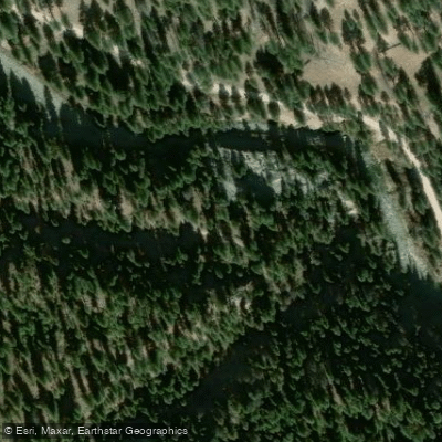
James Creek Access
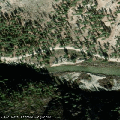
Middle Fork Road access
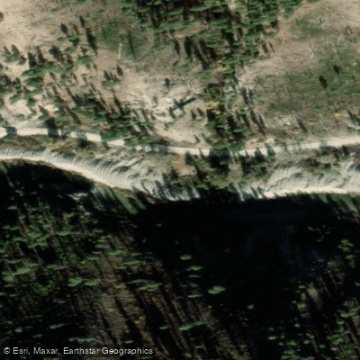
Middle Fork Road Access
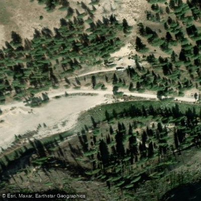
Middle Fork Road Access
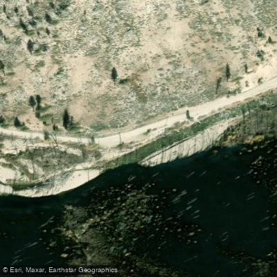
Middle Fork Road Access
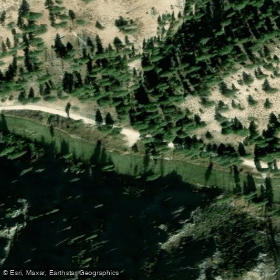
Middle Fork Road Access
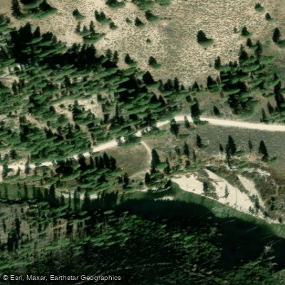
Middle Fork Road Access
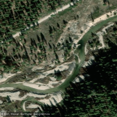
Middle Fork Road Access
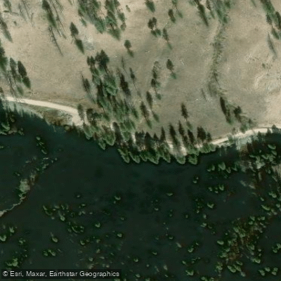
Middle Fork Road Access
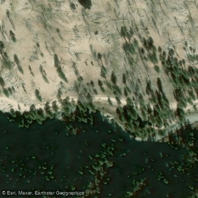
Middle Fork Road Access
Water and weather conditions (10 day forecast)
Check the forecast at Middle Fork Road Access before you go fishing.
No forecast data available.
Fishing near Middle Fork Road Access
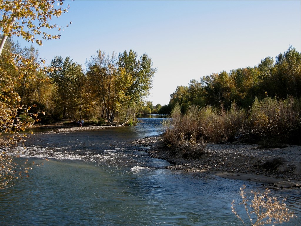
Boise River
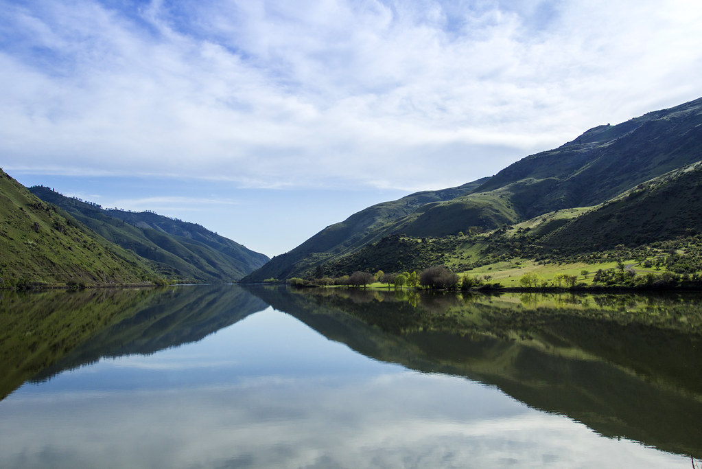
Snake River
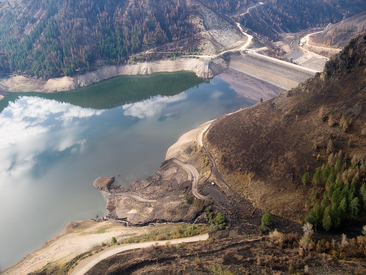
Anderson Ranch Reservoir
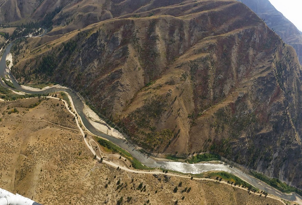
Middle Fork Boise River
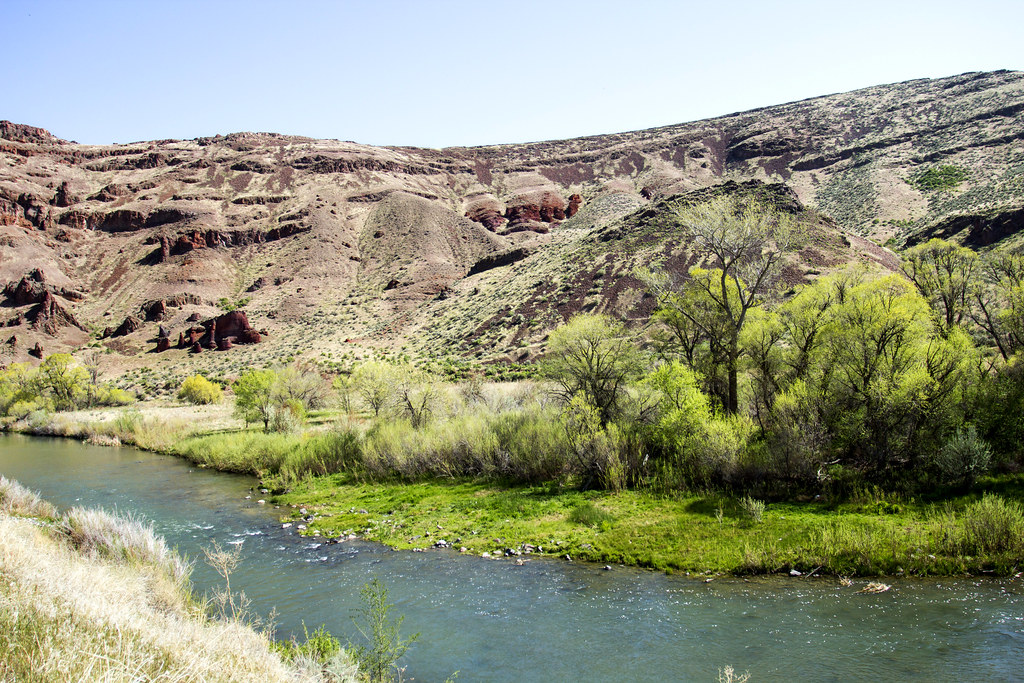
Owyhee River
North Fork Payette River
South Fork Payette River
Malheur River
Willow Creek
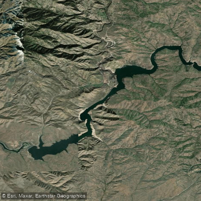
Lucky Peak Lake
Idaho licenses and regulations
Explore Idaho waters
Top fishing waters
No waters available right now.
Popular Cities
Loading popular cities...
Explore near Middle Fork Road Access
Nearby spots
- James Creek Access
- Middle Fork Road access
- Middle Fork Road Bridge Access
- Phifer Creek Road Access
- Queens River Access
- Weatherby Airstrip Access
- James Creek Campsite
- Middle Fork Road Dispersed Campsite
- Phifer Creek Road Bridge Campground
- Queens River Campground
- Swanholm Road Access
- Weatherby Airstrip Campground
Nearby waters
More in Idaho

Smarter Fishing Starts in the App.
onWater Fish gives you everything you need to plan smarter, fish better, and own every trip from first cast to last.