Middle Fork Road Access
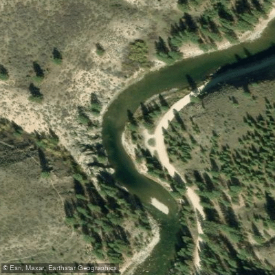
Middle Fork Road Access
Middle Fork Road provides access to a scenic 23. 2-mile dirt road that follows the Boise River and Middle Fork Boise River, offering opportunities for fishing, camping, and hot spring exploration along the route.
The road is generally passable in most vehicles during dry conditions but can become hazardous during heavy rain or snow due to potential rockfall and flooding.
Access is available from Highway 21, with the road ending at the historic mining town of Atlanta near the Sawtooth Wilderness.
Nearby points of interest
Find excellent fishing spots, easy access to boat ramps, and all the amenities you need for a memorable day. Your adventure starts here.
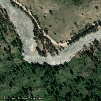
Badger Creek Campground Access
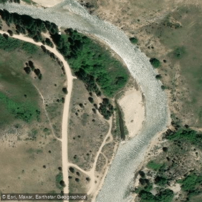
Gauging Station Access
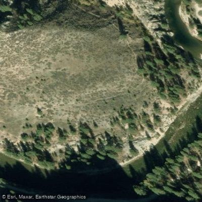
Haga Creek Trail Access
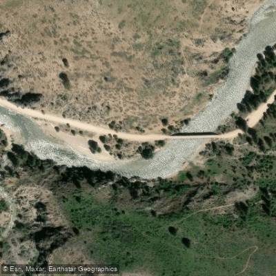
Haga Creek Trailhead Access
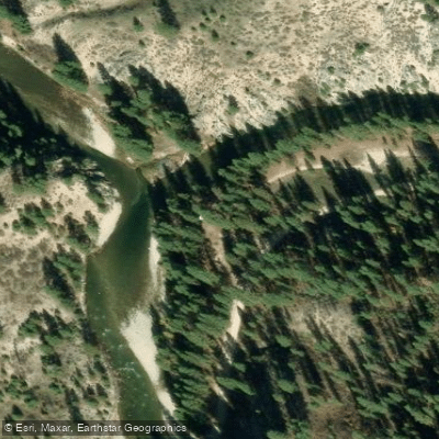
Middle Fork Access
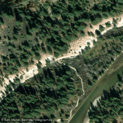
Middle Fork Road Access
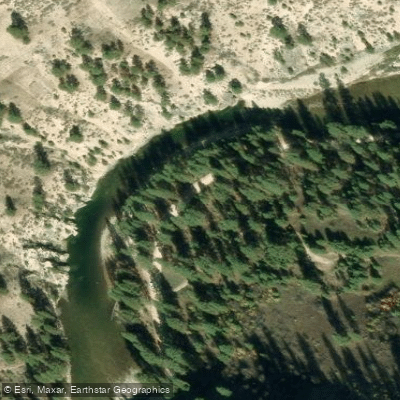
Middle Fork Road Access
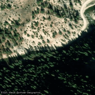
Middle Fork Road Access
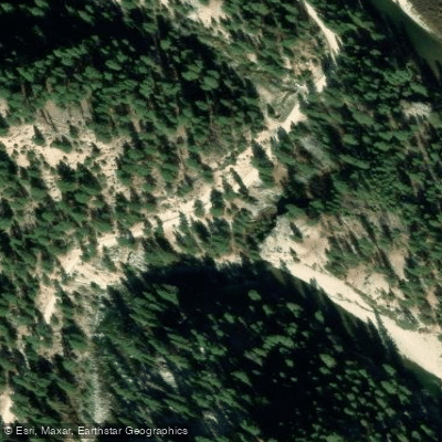
Middle Fork Road Access
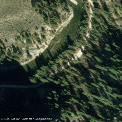
Middle Fork Road Access
Water and weather conditions (10 day forecast)
Check the forecast at Middle Fork Road Access before you go fishing.
No forecast data available.
Fishing near Middle Fork Road Access
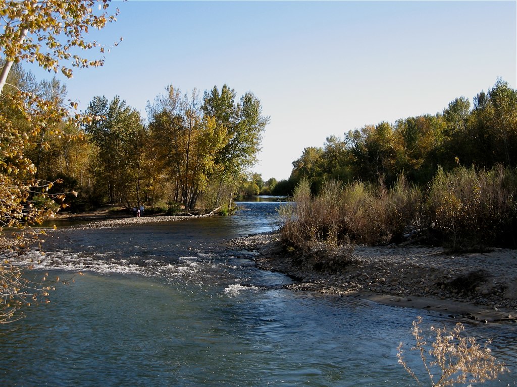
Boise River
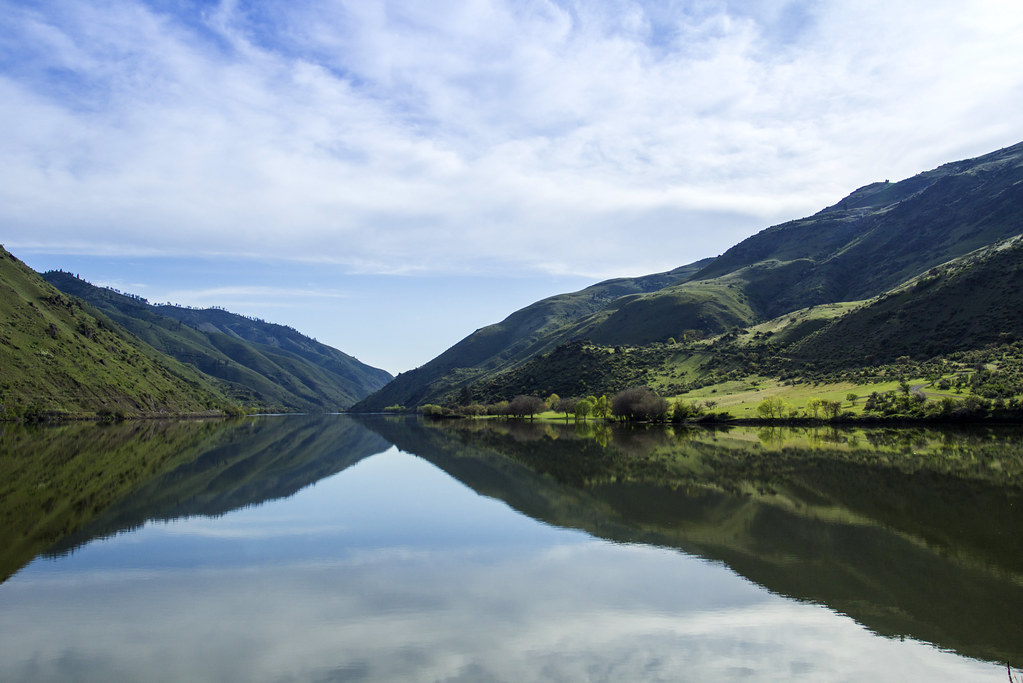
Snake River
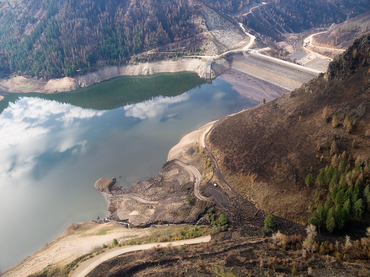
Anderson Ranch Reservoir
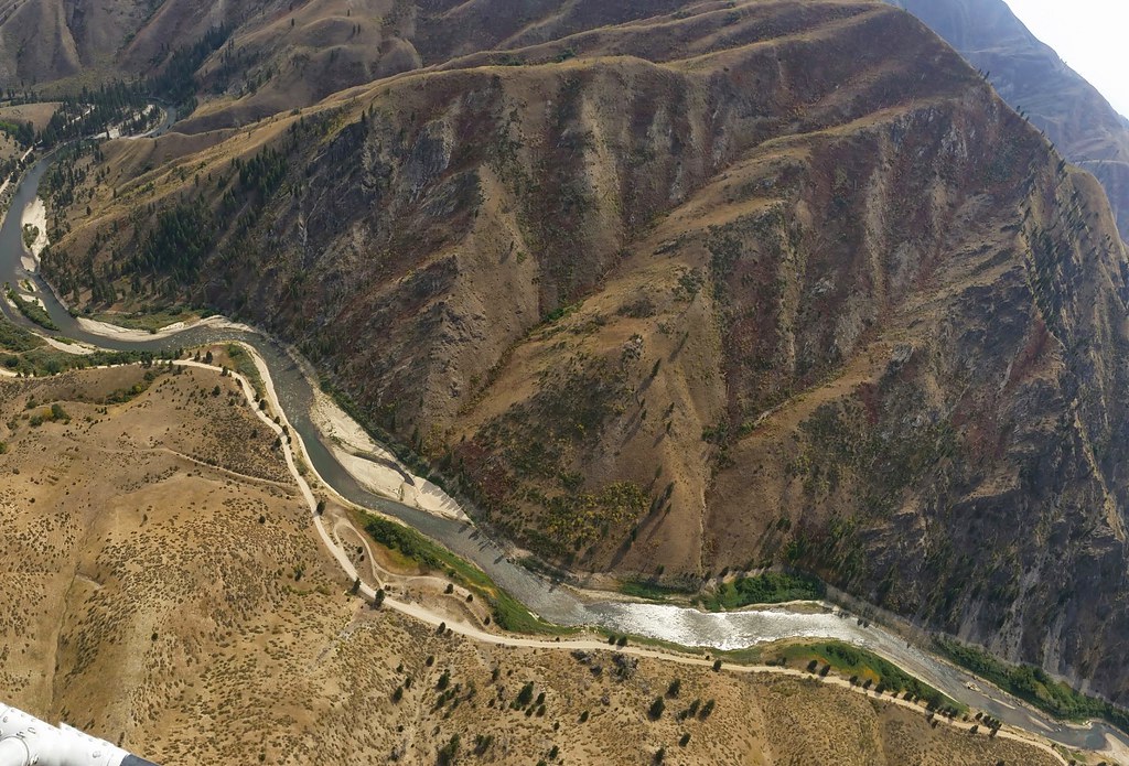
Middle Fork Boise River
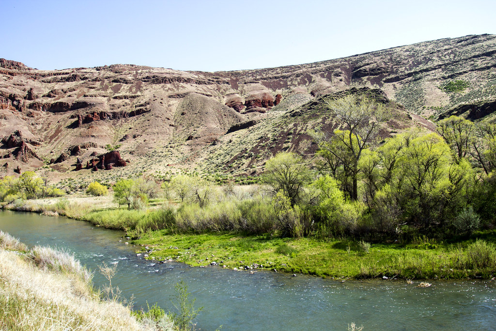
Owyhee River
North Fork Payette River
South Fork Payette River
Malheur River
Willow Creek
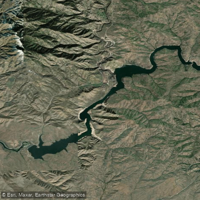
Lucky Peak Lake
Idaho licenses and regulations
Explore Idaho waters
Top fishing waters
No waters available right now.
Popular Cities
Loading popular cities...
Explore near Middle Fork Road Access
Nearby spots
- Middle Fork Road Boat Ramp
- North Fork Road Boat Ramp
- Badger Creek Campground Access
- Gauging Station Access
- Haga Creek Trail Access
- Haga Creek Trailhead Access
- Middle Fork Access
- Middle Fork Road Access
- Ninemeyer Campground Access
- North Fork River Road Access
- North Fork Road Access
- North Fork Road Dispersed Campsite
- All 30 nearby spots
Nearby waters
More in Idaho

Smarter Fishing Starts in the App.
onWater Fish gives you everything you need to plan smarter, fish better, and own every trip from first cast to last.