Pennsylvania Creek Road
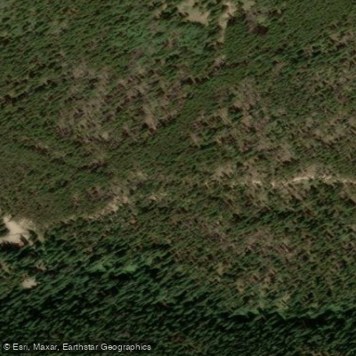
Pennsylvania Creek Road
Pennsylvania Creek Road (FDR 611) is a 2.
5-mile moderate 4x4/OHV road near Breckenridge that climbs from 10,037 to 11,195 feet and connects to Indiana Creek Road, offering scenic meadow views and access to historic mining sites like Dyersville and Warriors Mark Mine.
The road is rocky and can be rutted, requiring high-clearance vehicles, and is closed to motor vehicles from November 23 through May 20.
Access is via Coronet Drive from Blue River Road south of Breckenridge, with no facilities or water available at the trailhead.
Nearby points of interest
Find excellent fishing spots, easy access to boat ramps, and all the amenities you need for a memorable day. Your adventure starts here.
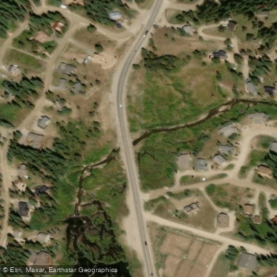
Blue River Fishing Access Site
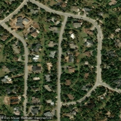
Breckenridge Area Access
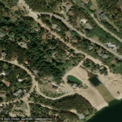
Breckenridge Fishing Access Site
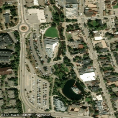
Breckenridge Fishing Access Site
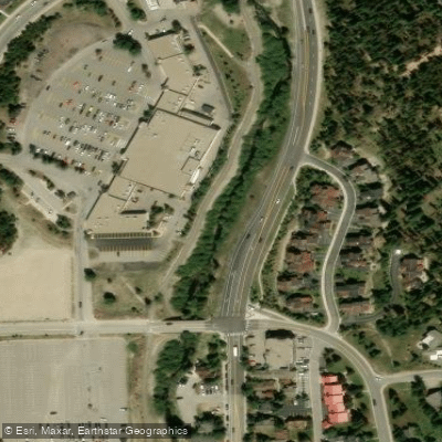
Breckenridge Fishing Access Site
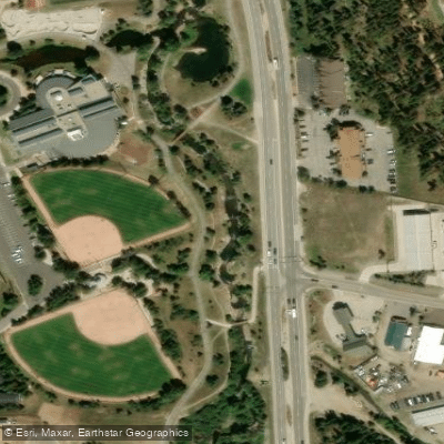
Breckenridge Fishing Access Site
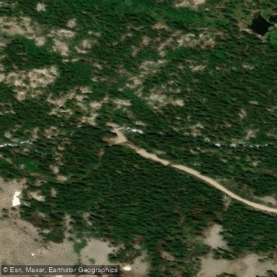
McCullough Gulch Access
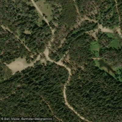
Middle Fork Road Access
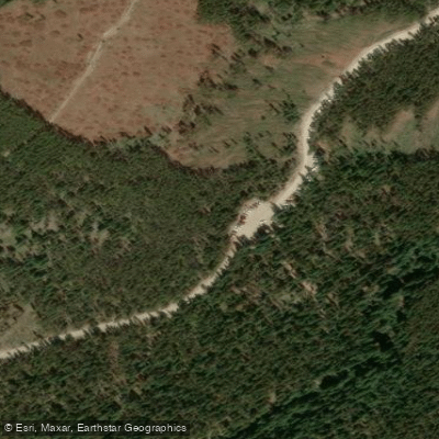
Mohawk Lakes Access
Water and weather conditions (10 day forecast)
Check the forecast at Pennsylvania Creek Road before you go fishing.
No forecast data available.
Fishing near Pennsylvania Creek Road
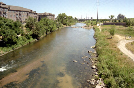
South Platte River
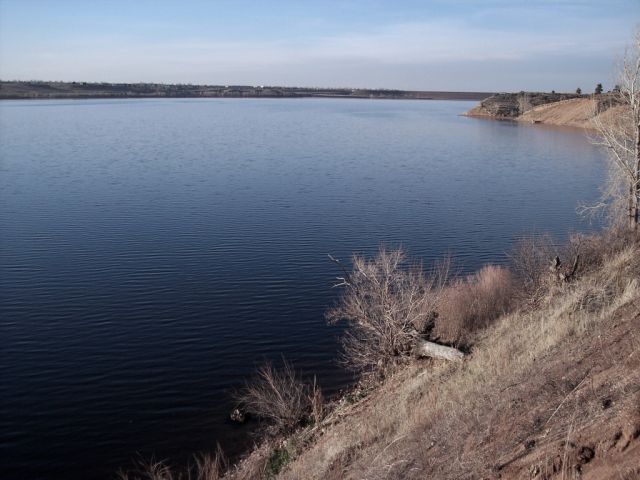
Chatfield Lake
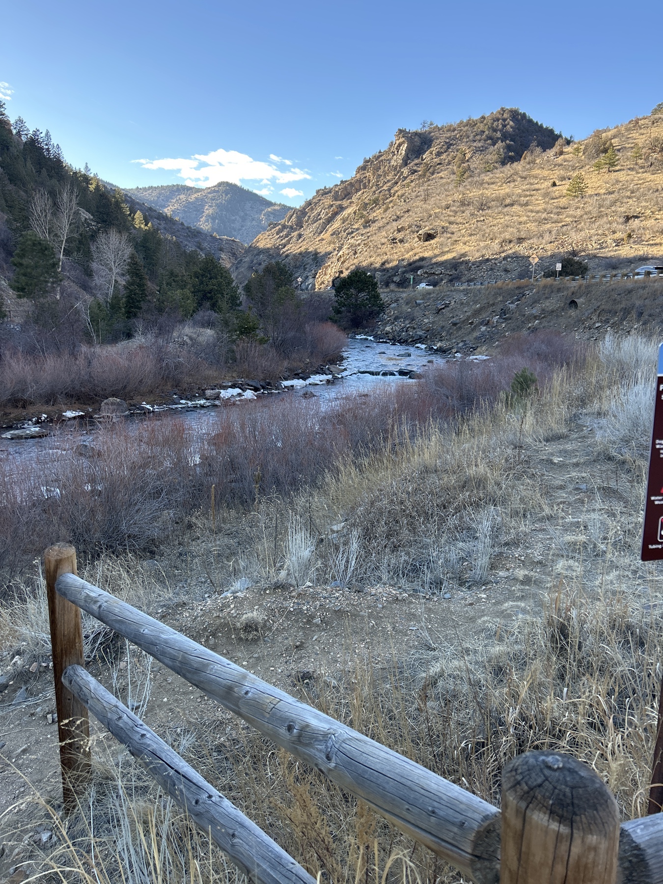
Clear Creek
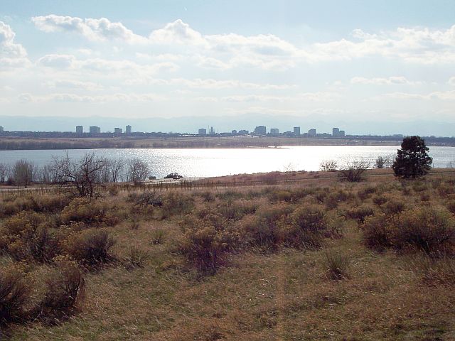
Cherry Creek Lake
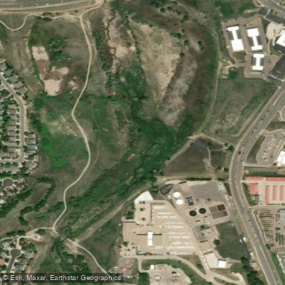
Cherry Creek
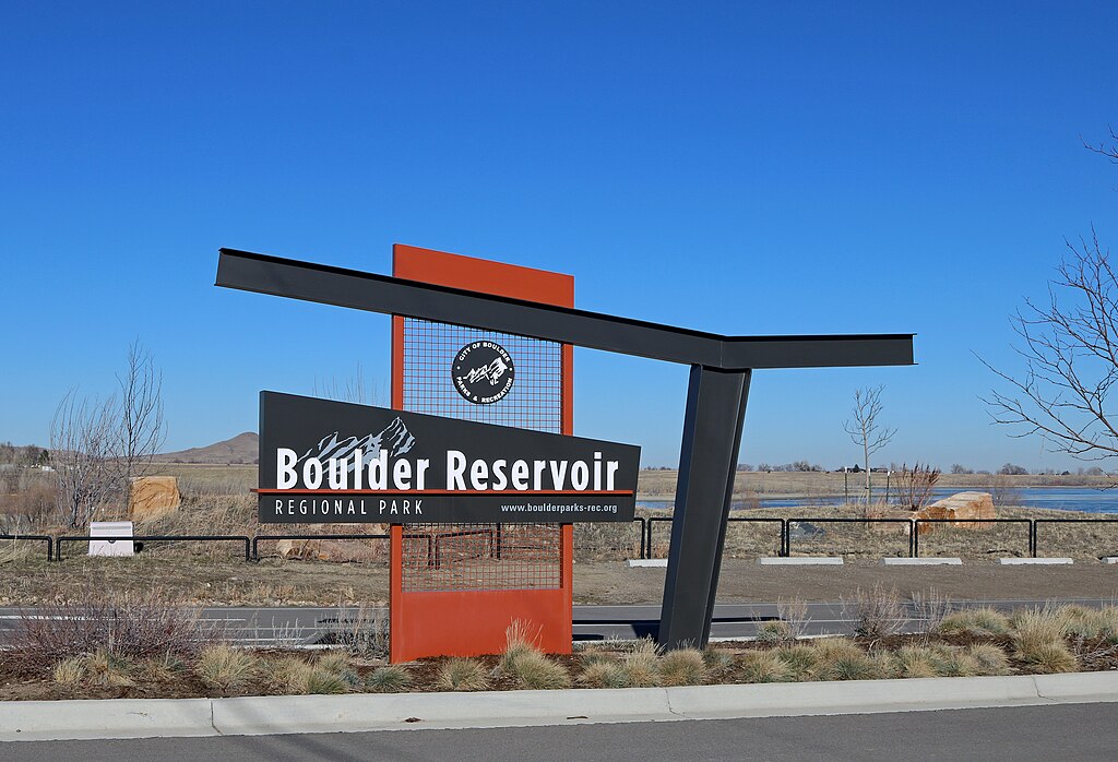
Boulder Reservoir
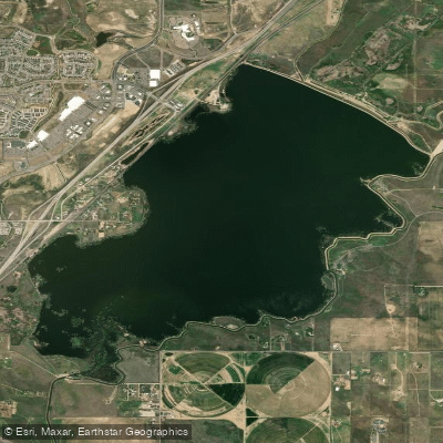
Barr Lake
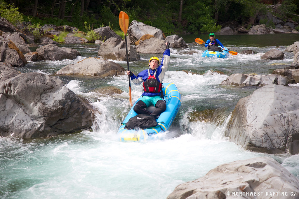
Boulder Creek
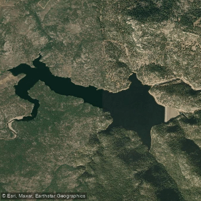
Button Rock Reservoir
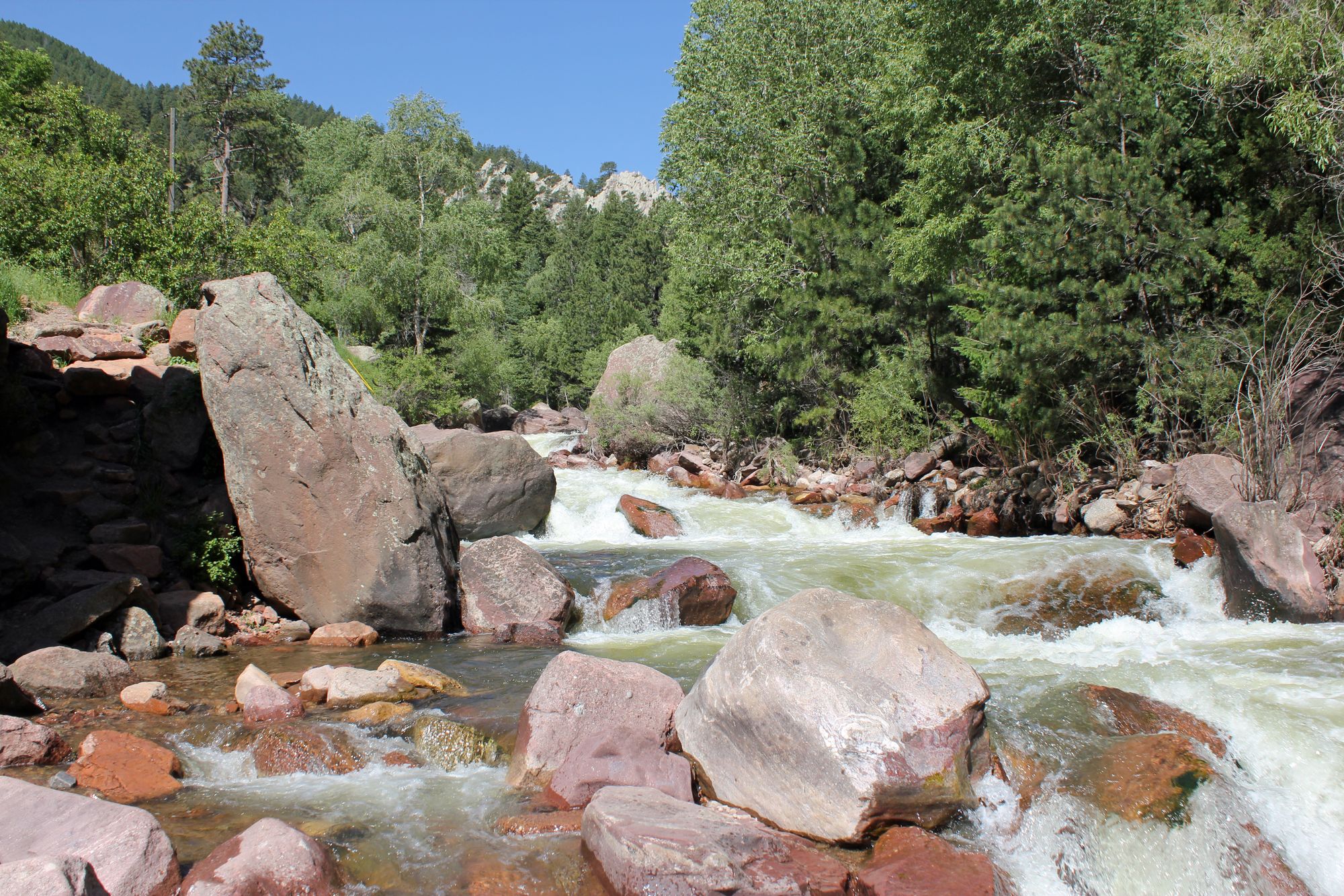
South Boulder Creek
Colorado licenses and regulations
Explore Colorado waters
Top fishing waters
No waters available right now.
Popular Cities
Loading popular cities...
Explore near Pennsylvania Creek Road
Nearby spots
Nearby waters
More in Colorado

Smarter Fishing Starts in the App.
onWater Fish gives you everything you need to plan smarter, fish better, and own every trip from first cast to last.