North Saint Vrain Access Trail
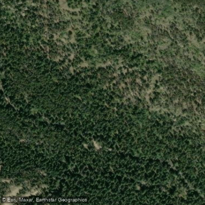
North Saint Vrain Access Trail
The North Saint Vrain Access Trail provides foot access to North Saint Vrain Creek via the Dry Saint Vrain Trail (#920), a 1. 5-mile route that descends gradually through forest before dropping steeply to the creek bed.
Located 15 miles north of Lyons on Colorado Highway 7, the trailhead requires high-clearance 4WD vehicles for the final rough 0. 25 miles of access road, with limited parking available and no facilities on-site.
Note that North Saint Vrain Creek runs heavy during spring, early summer, and heavy rains, making crossing difficult or impossible during these periods.
Nearby points of interest
Find excellent fishing spots, easy access to boat ramps, and all the amenities you need for a memorable day. Your adventure starts here.
Bluebird Lake Trail Access
Camp Dick Campground Access

Lion Lake Junction Thunder Head Lake Trail Access
Lion Lake Junction Thunder Lake Trail Access
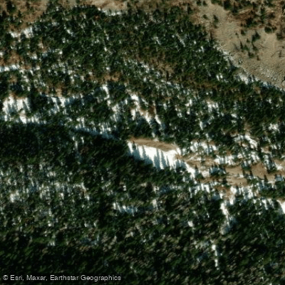
Middle Saint Vrain Trailhead Access
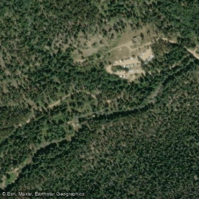
North Saint Vrain Creek Access
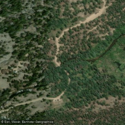
North Saint Vrain Creek Access
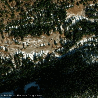
Peaceful Valley Campground Access
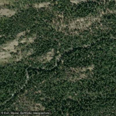
Pine Ridge Access from Wild Basin Trail
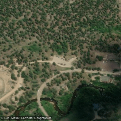
Sandbeach Lake Trail Trailhead Access
Water and weather conditions (10 day forecast)
Check the forecast at North Saint Vrain Access Trail before you go fishing.
No forecast data available.
Fishing near North Saint Vrain Access Trail
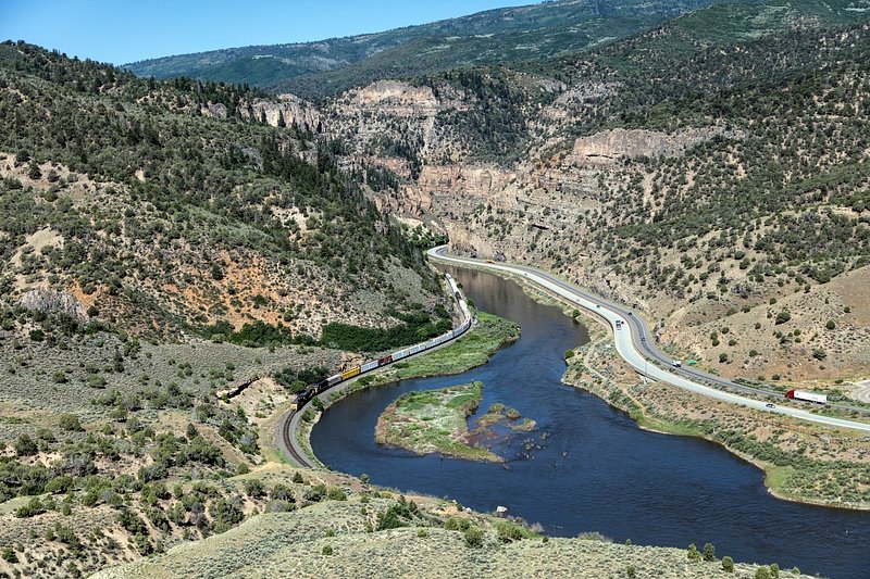
Colorado River
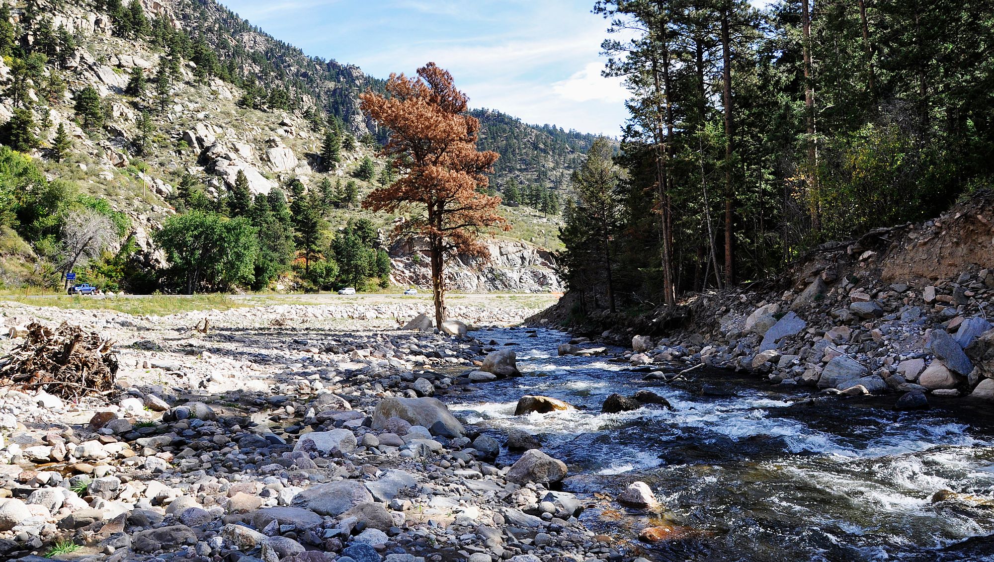
Big Thompson River
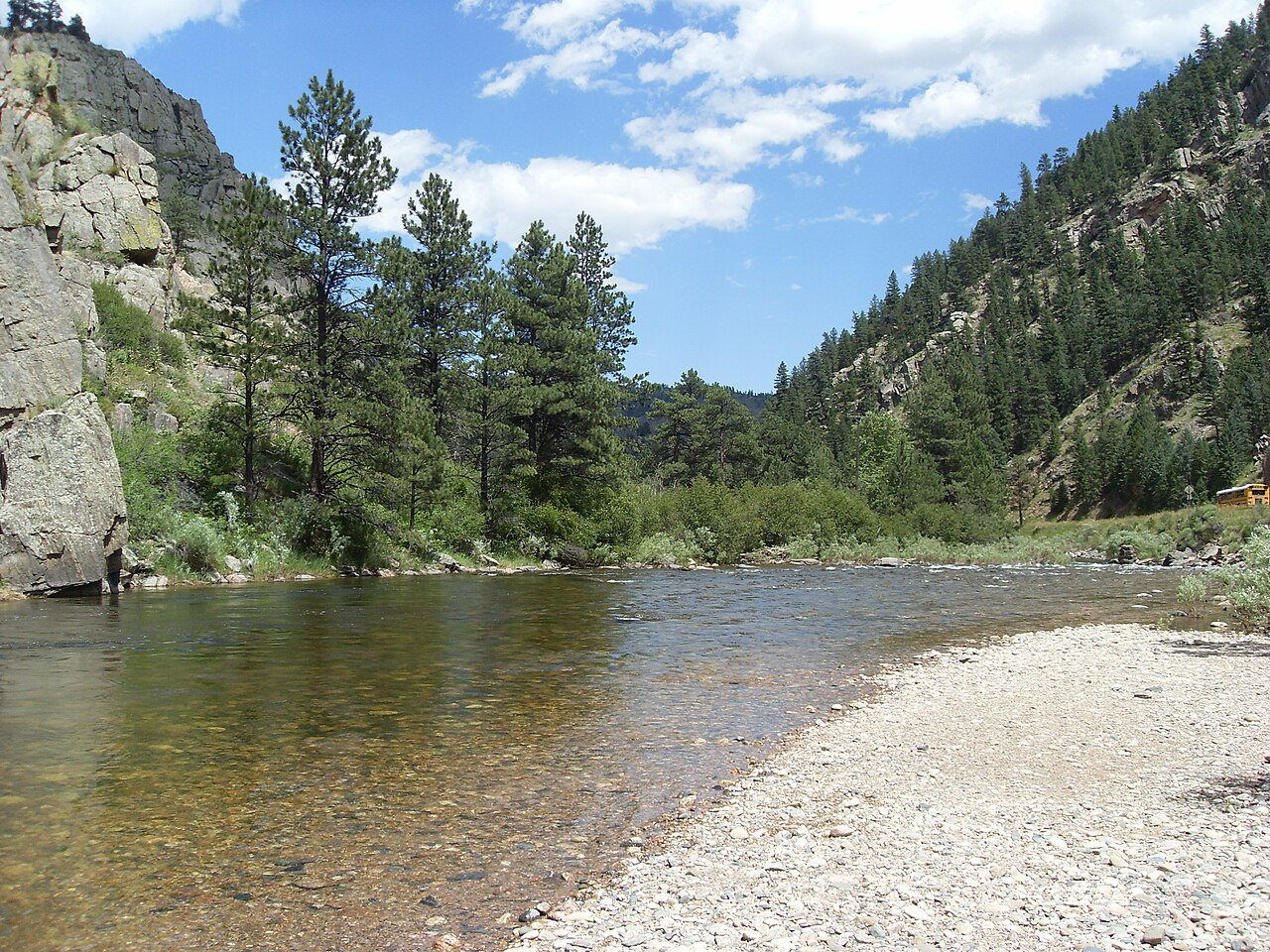
Cache la Poudre River
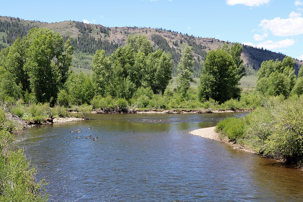
Fraser River
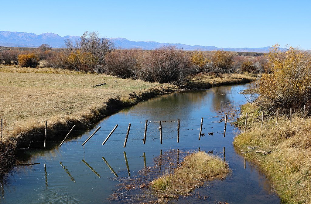
Michigan River
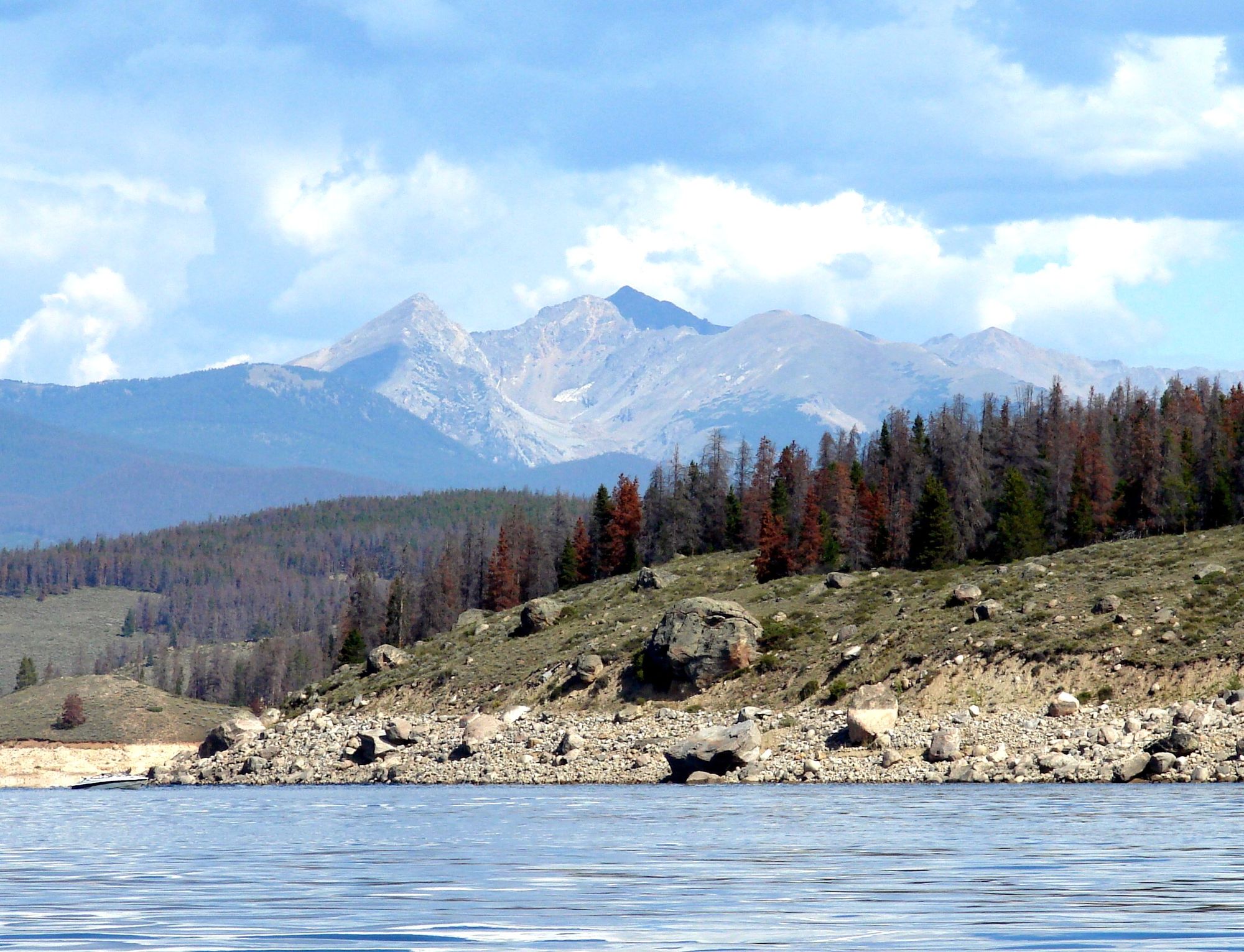
Lake Granby
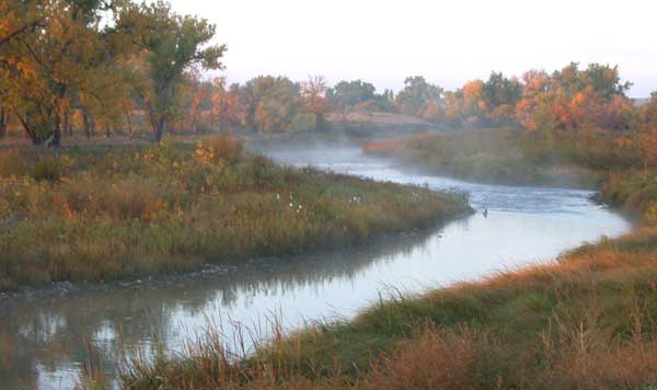
Laramie River
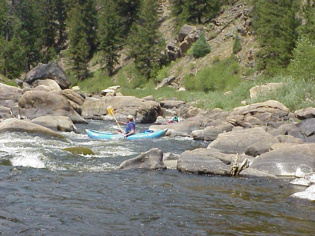
North Platte River
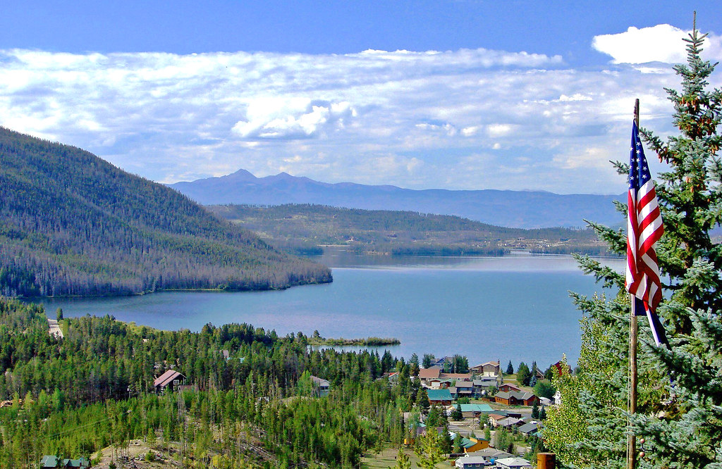
Shadow Mountain Lake
Williams Fork
Colorado licenses and regulations
Explore Colorado waters
Top fishing waters
No waters available right now.
Popular Cities
Loading popular cities...
Explore near North Saint Vrain Access Trail
Nearby spots
- Bluebird Lake Trail Access
- Camp Dick Campground Access
- Lion Lake Junction Thunder Head Lake Trail Access
- Lion Lake Junction Thunder Lake Trail Access
- Middle Saint Vrain Trailhead Access
- North Saint Vrain Creek Access
- Peaceful Valley Campground Access
- Pine Ridge Access from Wild Basin Trail
- Sandbeach Lake Trail Trailhead Access
- Thunder Lake Trail Access
- Twin Sisters SWA Access
- Wild Basin Trail, North Saint Vrain Camp Trail, and Thunder Lake Trail Access
- All 31 nearby spots
Nearby waters
More in Colorado

Smarter Fishing Starts in the App.
onWater Fish gives you everything you need to plan smarter, fish better, and own every trip from first cast to last.