Boulder Creek Path Boulder High Access
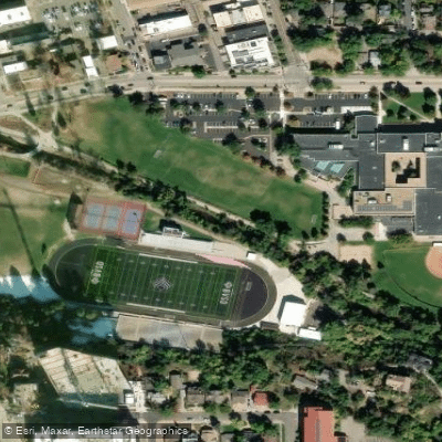
Boulder Creek Path Boulder High Access
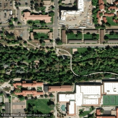
The Boulder Creek Path is a popular 5. 5-mile paved multi-use path extending from Stazio Ballfields on the east end to Boulder Canyon on the west, running through downtown Boulder past attractions like the Main Library and Civic Area Park.
The path is ADA accessible and maintained jointly by Parks and Recreation and the Utilities Department's Greenways Program, making it ideal for walking, running, and cycling. West of Eben G.
Fine Park, the path transitions to dirt and eventually connects to Boulder Canyon Road, offering year-round access with winter snow maintenance on the paved sections.
Nearby points of interest
Find excellent fishing spots, easy access to boat ramps, and all the amenities you need for a memorable day. Your adventure starts here.
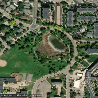
Admiral Arleigh A. Burke Park Access
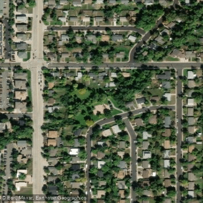
Arrowwood Park Access
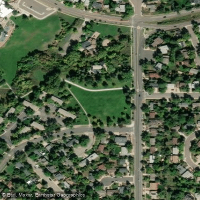
Bear Creek Park Access
Big Bow Bridge Fishing Access Site
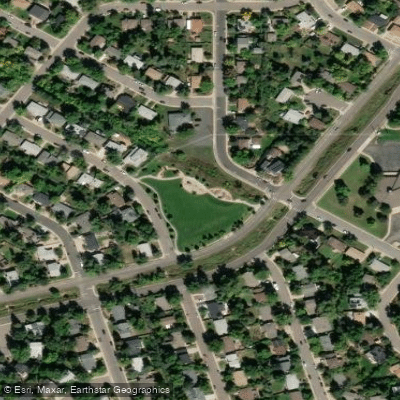
Bill Bower Park Access
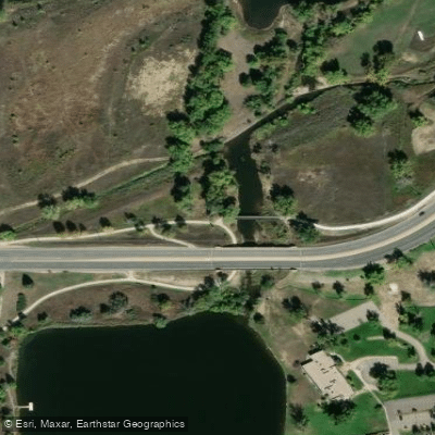
Boulder Access
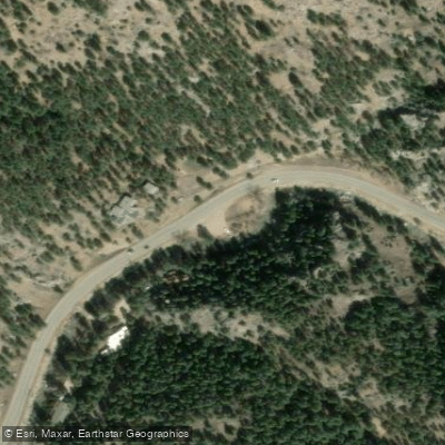
Boulder Canyon Drive Fishing Access Site
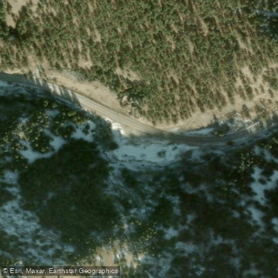
Boulder Canyon Drive Fishing Access Site
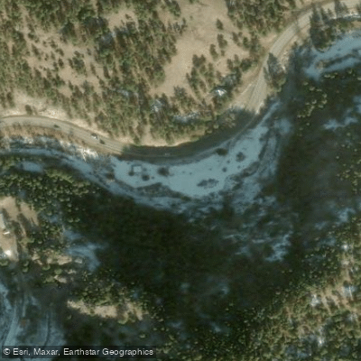
Boulder Canyon Drive Fishing Access Site
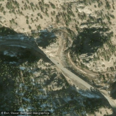
Boulder Canyon Trail Fishing Access Site
Water and weather conditions (10 day forecast)
Check the forecast at Boulder Creek Path Boulder High Access before you go fishing.
No forecast data available.
Fishing near Boulder Creek Path Boulder High Access
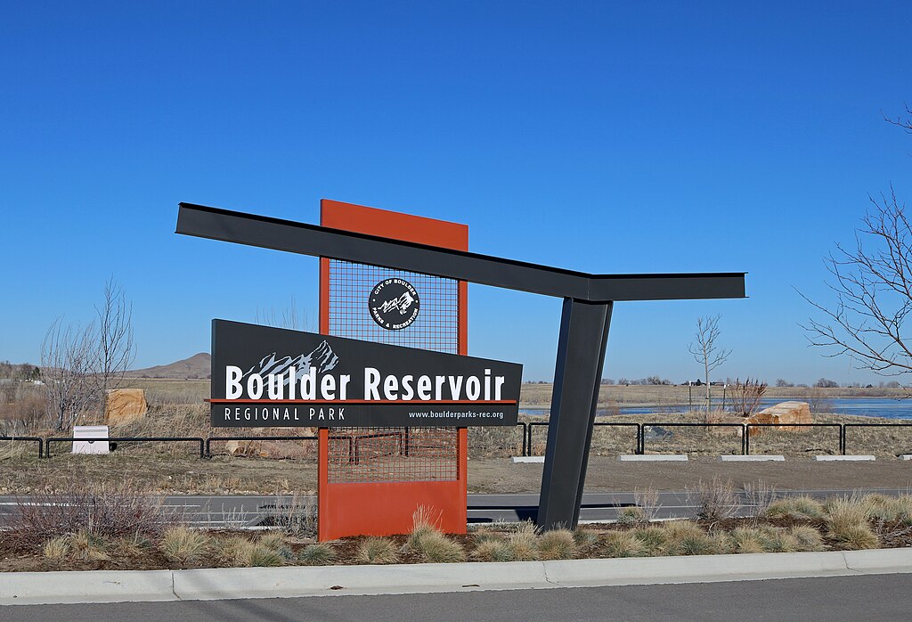
Boulder Reservoir
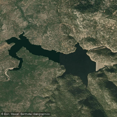
Button Rock Reservoir
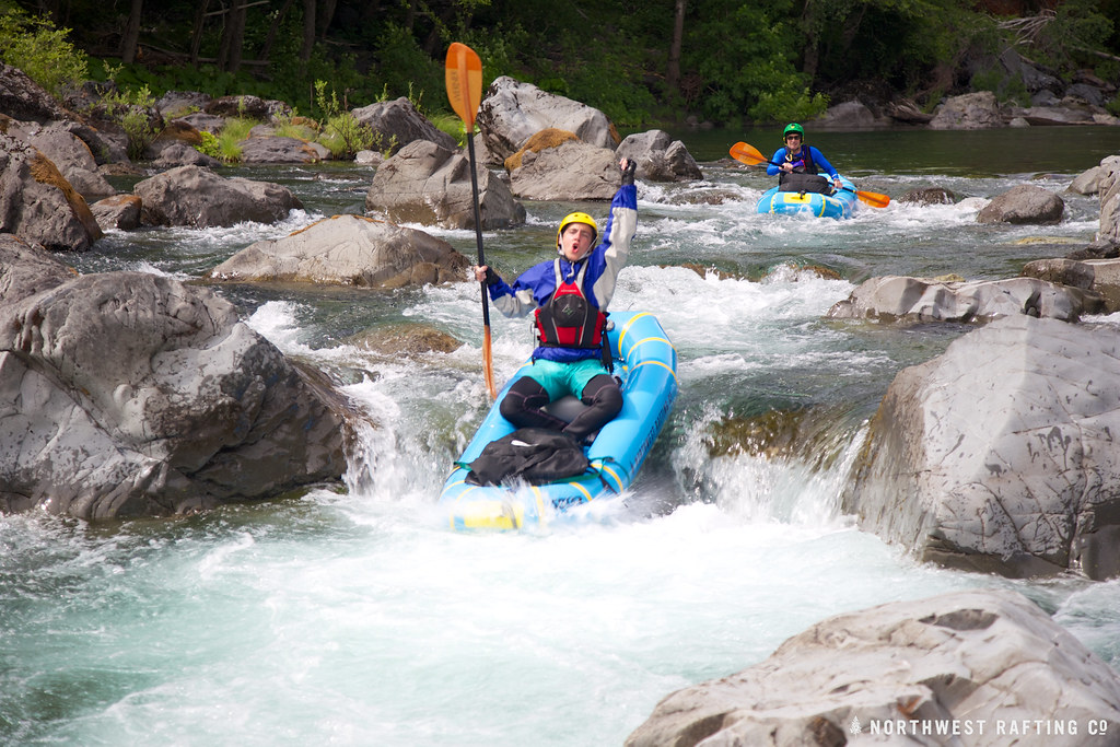
Boulder Creek
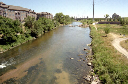
South Platte River
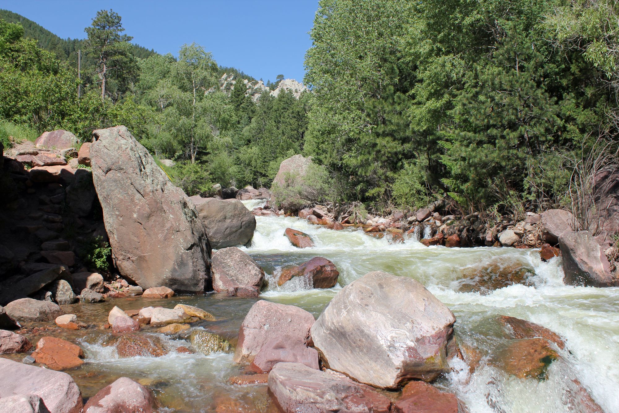
South Boulder Creek
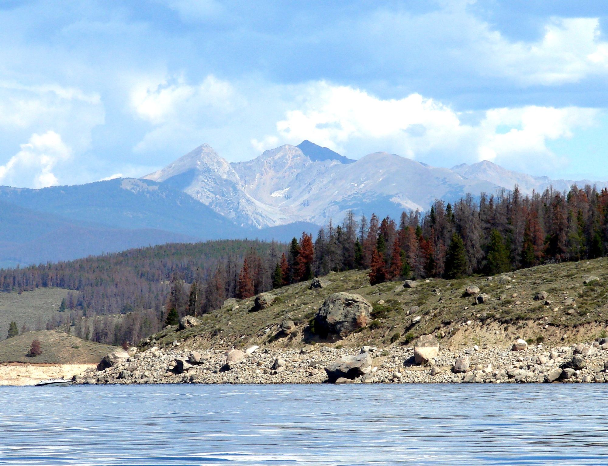
Lake Granby
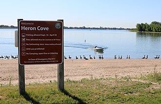
Boyd Lake
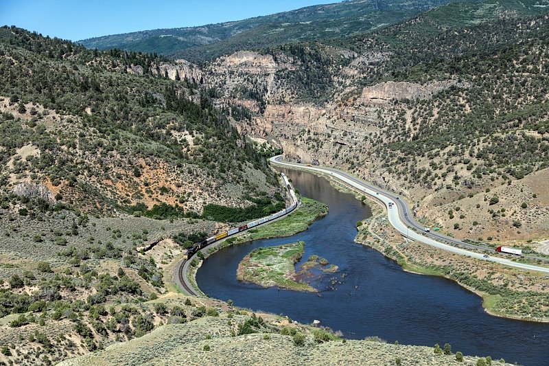
Colorado River
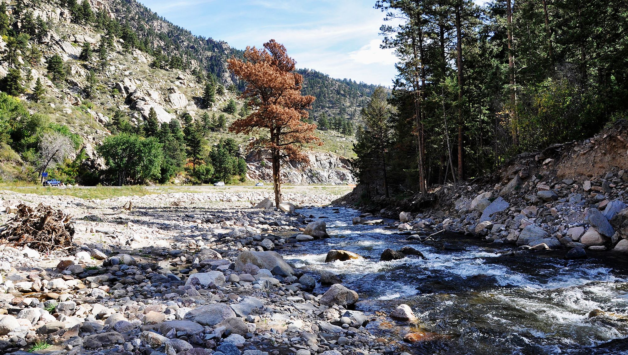
Big Thompson River
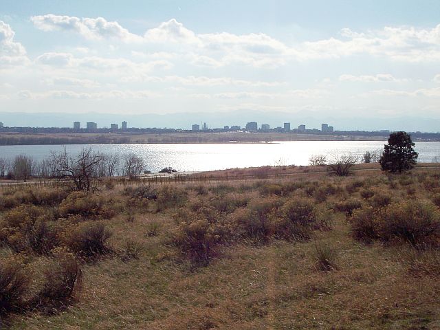
Cherry Creek Lake
Colorado licenses and regulations
Explore Colorado waters
Top fishing waters
No waters available right now.
Popular Cities
Loading popular cities...
Explore near Boulder Creek Path Boulder High Access
Nearby spots
- Admiral Arleigh A. Burke Park Access
- Arrowwood Park Access
- Bear Creek Park Access
- Big Bow Bridge Fishing Access Site
- Bill Bower Park Access
- Boulder Access
- Boulder Canyon Drive Fishing Access Site
- Boulder Canyon Trail Fishing Access Site
- Boulder Creek access
- Boulder Creek Canyon Trail Fishing Access Site
- Boulder Creek Path 17th to Folsom Access
- Boulder Creek Path 28th to 30th Access
- All 59 nearby spots
Nearby waters
More in Colorado

Smarter Fishing Starts in the App.
onWater Fish gives you everything you need to plan smarter, fish better, and own every trip from first cast to last.