Quarry Trail Access
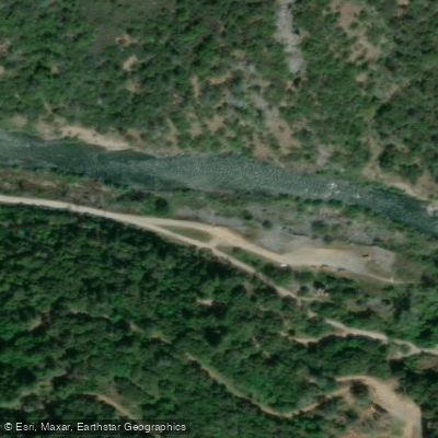
Quarry Trail Access
Quarry Trail Access provides parking and trailhead access off Highway 49 near the confluence of the North and Middle Forks of the American River, approximately 5 miles south of Auburn. The wide, level trail follows an old Gold Rush-era flume route for 5.
6 miles along the Middle Fork American River at approximately 700' elevation, offering easy access to the river with multiple pull-over spots and remnants of historic limestone mining operations.
Limited parking is available in a small lot with a $10 fee and basic restroom facilities; the trail is open to hikers, mountain bikers (Class 1 e-bikes permitted), and horses.
More ways to access Middle Fork American River
Explore the wonders of Middle Fork American River! Find excellent fishing spots, easy access to boat ramps, and all the amenities you need for a memorable day by the water. Your adventure starts here.
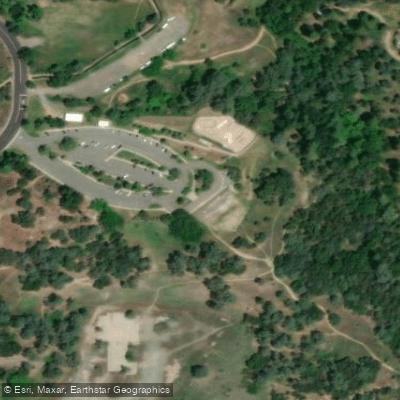
American River Canyon Overlook Park Access
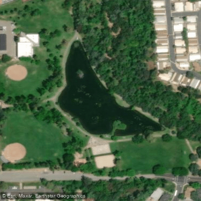
Auburn Regional Park Pond Access
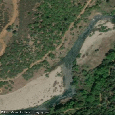
Auburn State Recreation Area - River Bar Trail
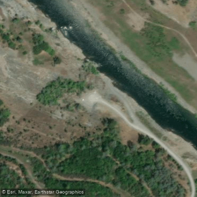
Birdsall Access
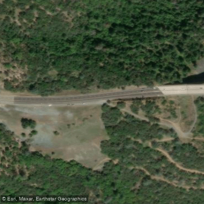
Bridgeview Trail Access
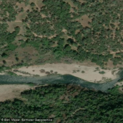
Brown's Bar Canyon
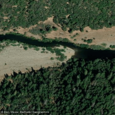
Bucky Bar
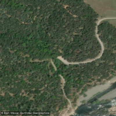
Cardiac Bypass/Oregon Bar Access
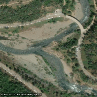
Confluence Trail
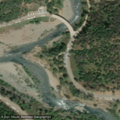
Confluence Trail Access & Parking Area
Water and weather conditions (10 day forecast)
Check the forecast at Quarry Trail Access before you go fishing.
No forecast data available.
Fishing near Quarry Trail Access
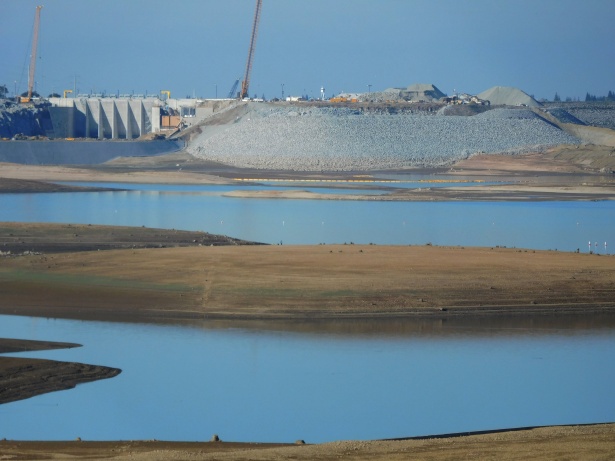
Folsom Lake

North Fork American River
Snodgrass Slough
Lake Natoma
American River
Elk Slough
Sacramento River
Feather River
Lost Slough
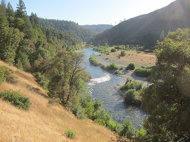
Middle Fork American River
California licenses and regulations
Explore California waters
Top fishing waters
No waters available right now.
Popular Cities
Loading popular cities...
Explore near Quarry Trail Access
On this water
Nearby spots
- Auburn SRA (Lake Clementine Boat Launch Facility) Boat Ramp
- Greenwood Access Hand Launch
- Hwy 49 Bridge Boat Ramp
- Mammoth Bar Hand Launch
- Upper Lake Clementine BTAF Boat Ramp
- American River Canyon Overlook Park Access
- Auburn Regional Park Pond Access
- Auburn State Recreation Area - River Bar Trail
- Birdsall Access
- Bridgeview Trail Access
- Brown's Bar Canyon
- Bucky Bar
- All 40 nearby spots
Nearby waters
More in California

Smarter Fishing Starts in the App.
onWater Fish gives you everything you need to plan smarter, fish better, and own every trip from first cast to last.