Waters Gulch Access
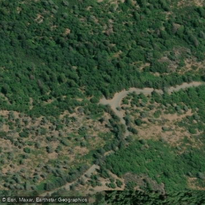
Waters Gulch Access
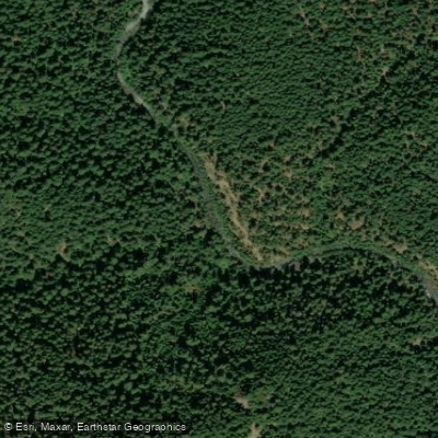
Waters Gulch Access provides a trailhead for the popular 2.
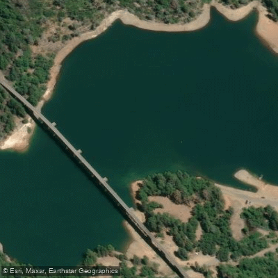
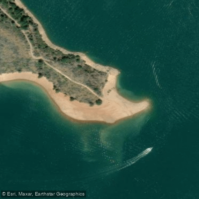
8-mile Waters Gulch Trail loop, which descends through a mixed conifer-hardwood forest to Shasta Lake's shoreline and returns via Packers Bay, offering excellent opportunities for hiking, trail running, mountain biking, fishing, and wildlife viewing.
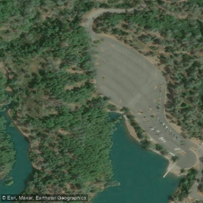
The gravel parking area is located 1 mile from the Packers Bay off-ramp (Exit 694 from I-5), with good fishing and swimming access along the route.
Note that summer temperatures regularly exceed 100 degrees, so bring plenty of water, and the trail is rocky and uneven in places with poison oak present.
Nearby points of interest
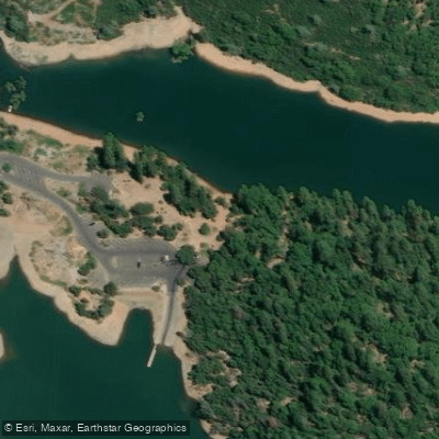
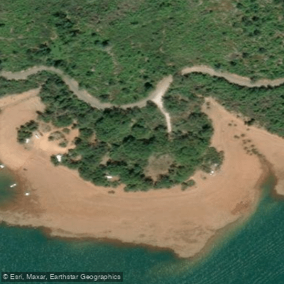
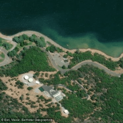
Find excellent fishing spots, easy access to boat ramps, and all the amenities you need for a memorable day. Your adventure starts here.
Water and weather conditions (10 day forecast)
Check the forecast at Waters Gulch Access before you go fishing.
No forecast data available.
Fishing near Waters Gulch Access
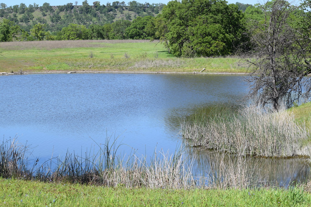
Sacramento River
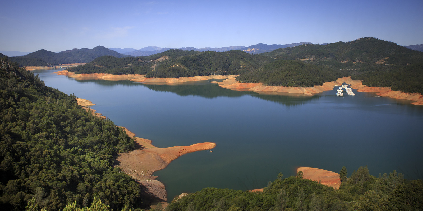
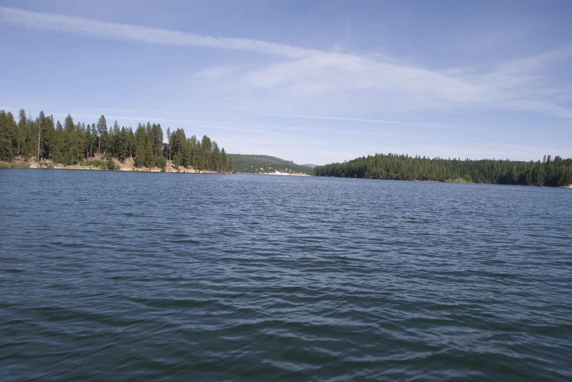
Shasta Lake
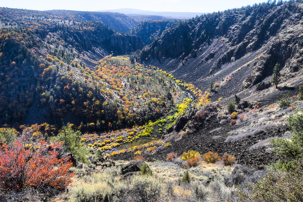
Pit River
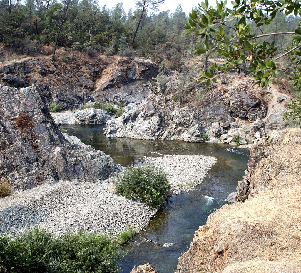
Clear Creek
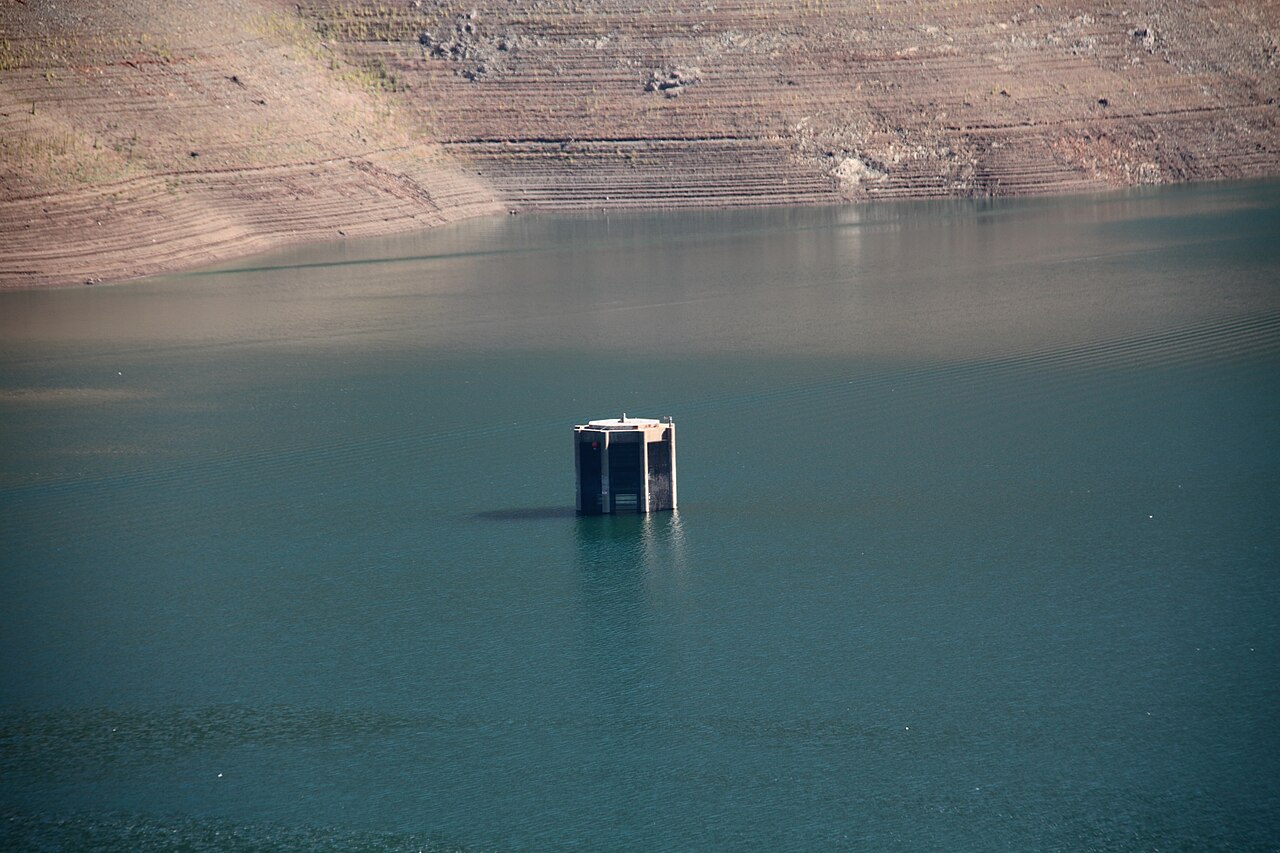
Trinity Lake
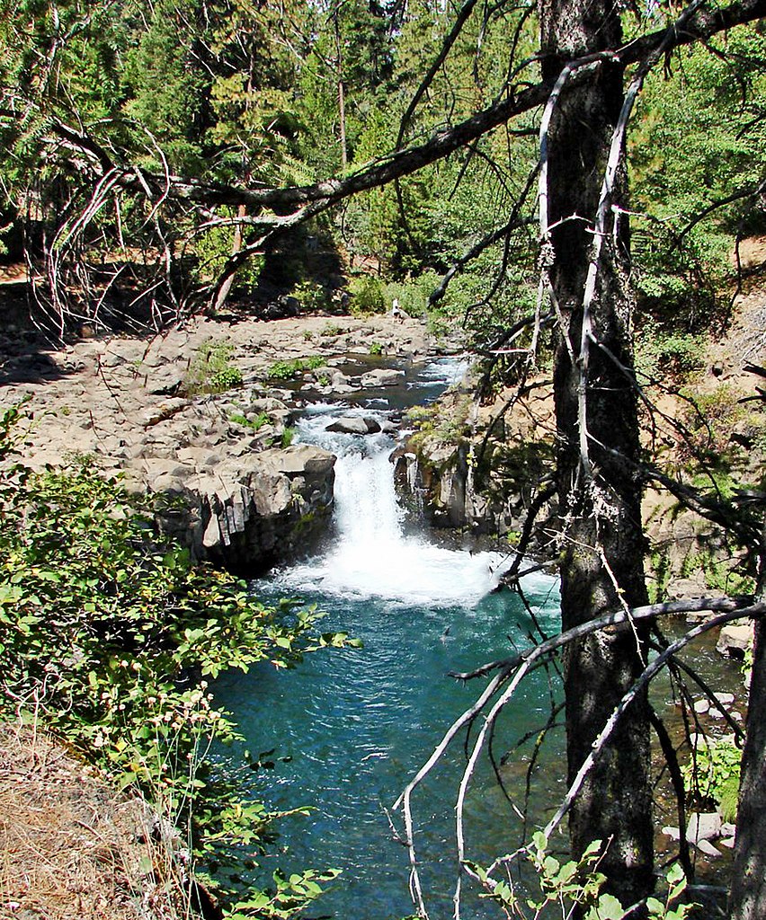
McCloud River
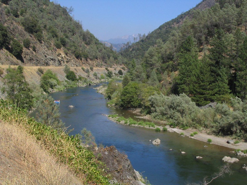
Trinity River
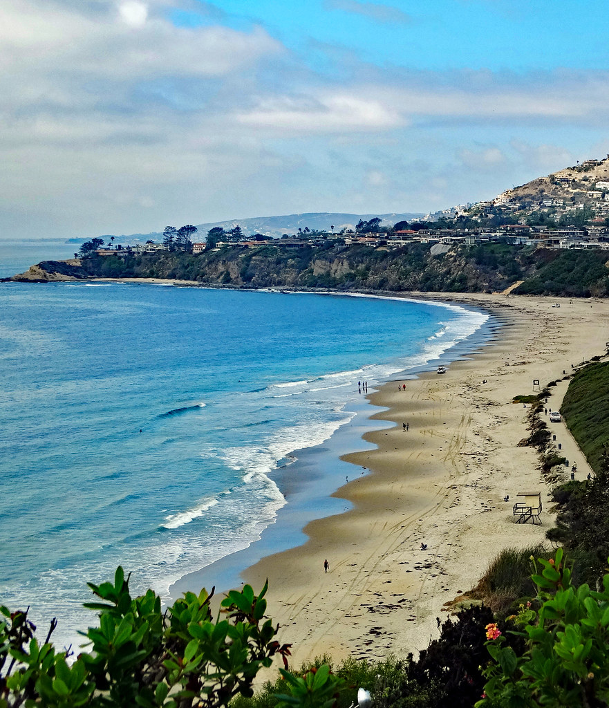
Salt Creek
Stuart Fork
Lake Britton
California licenses and regulations
Explore California waters
Top fishing waters
No waters available right now.
Popular Cities
Loading popular cities...
Explore near Waters Gulch Access
Nearby spots
- Bridge Bay Marin
- Bridge Bay Resort and Marina Boat Ramp
- Centimundi Public Boat Ramp
- Digger Bay Marina Boat Ramp
- Packers Bay Marina Boat Ramp
- Shasta Lake (Bailey Cove Ramp) Boat Ramp
- Shasta Lake (Centimudi Ramp) Boat Ramp
- Shasta Lake (Packers Bay Ramp) Boat Ramp
- Shasta Marina Resort Boat Ramp
- Silverthorn Resort Associates Boat Ramp
- Bailey Cove Access
- Beehive Beach Access
- All 32 nearby spots
Nearby waters
More in California

Smarter Fishing Starts in the App.
onWater Fish gives you everything you need to plan smarter, fish better, and own every trip from first cast to last.