Stanislaus River Clarks Fork Access
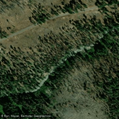
Stanislaus River Clarks Fork Access
Clark Fork Road provides scenic access to the Clark Fork canyon via approximately nine miles of blacktop from Highway 108, terminating at Clark Fork Trailhead near Iceberg Meadow.
The area offers multiple access points along the road with relatively easy hiking to the river, though some sections require navigating dense conifer forests and brush.
Clark Fork Campground and nearby Peaceful Pines and Sand Flat Campgrounds provide developed camping facilities within the area.
Nearby points of interest
Find excellent fishing spots, easy access to boat ramps, and all the amenities you need for a memorable day. Your adventure starts here.
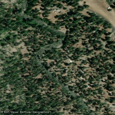
Baker Campground Access
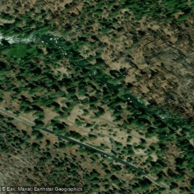
Boulder Flat Campground Access
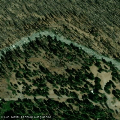
Brightman Flat Access
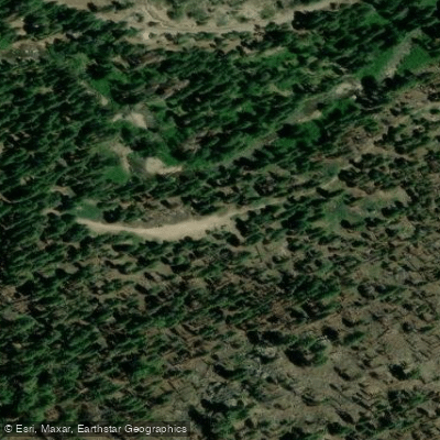
Clark Fork Access
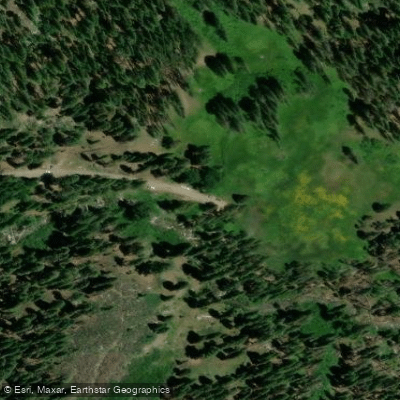
Clark Fork Trailhead Access
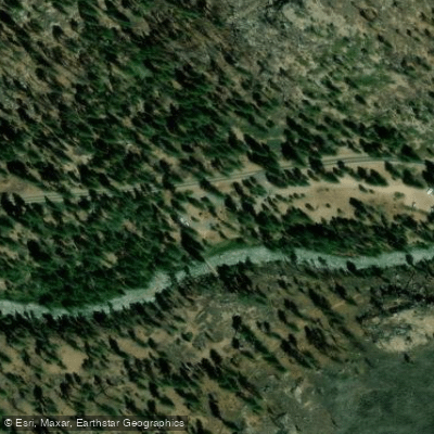
Columns of the Giants Trailhead Access
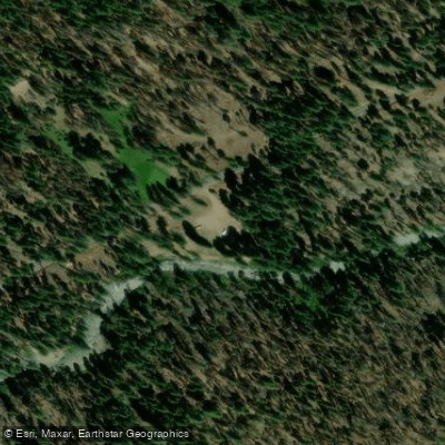
Cottonwood Access
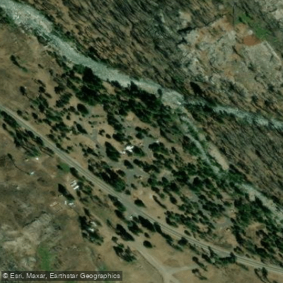
Dardanelle Campground Access
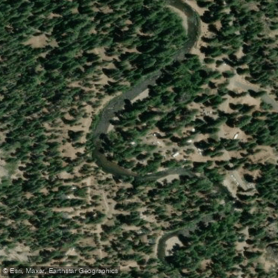
Deadman Campground Access
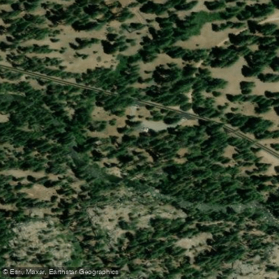
Douglas Flat Day Use Access
Water and weather conditions (10 day forecast)
Check the forecast at Stanislaus River Clarks Fork Access before you go fishing.
No forecast data available.
Fishing near Stanislaus River Clarks Fork Access
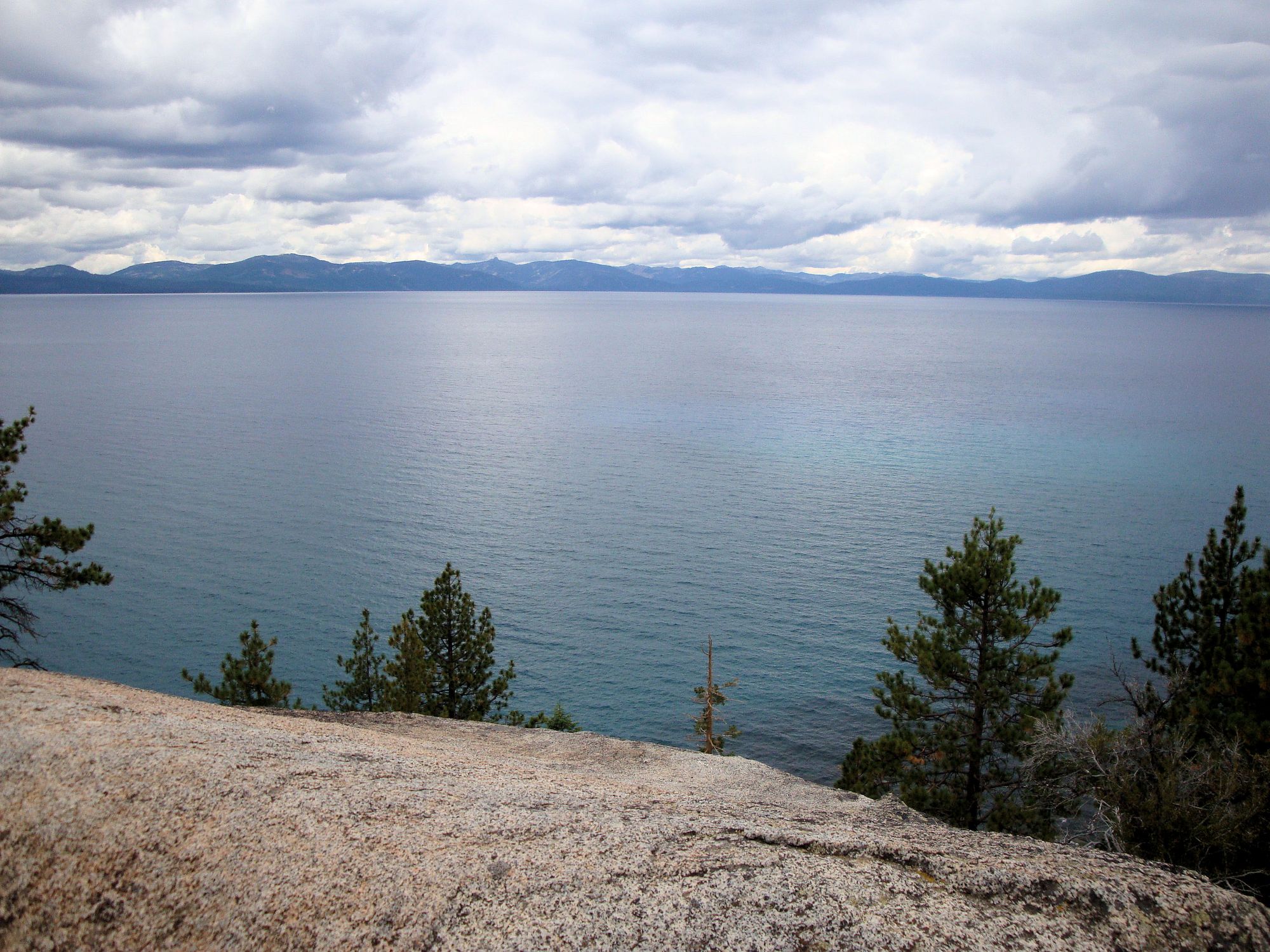
Lake Tahoe
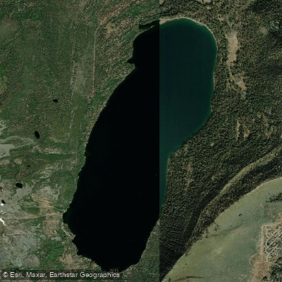
Fallen Leaf Lake
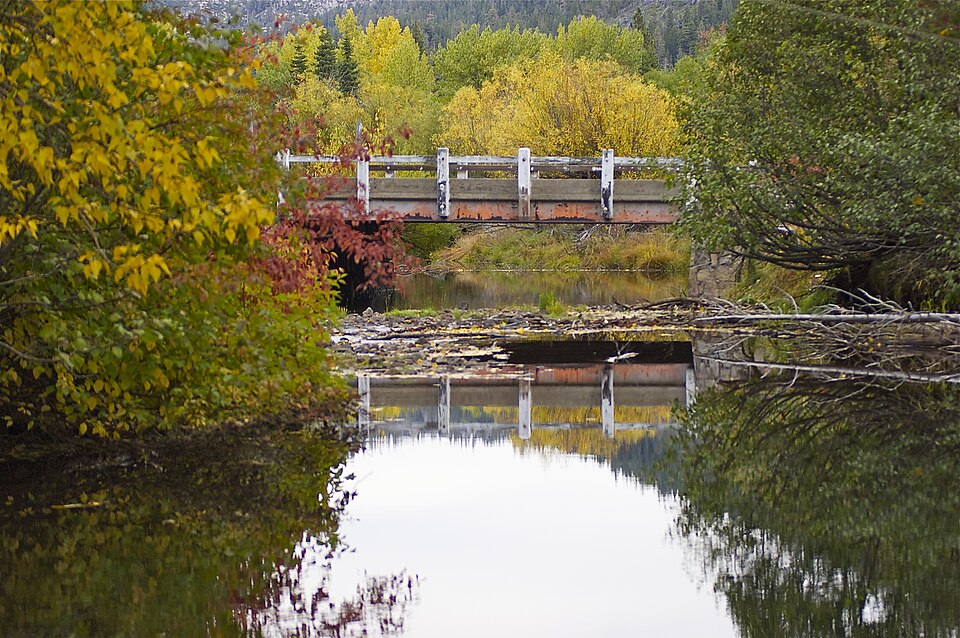
Upper Truckee River
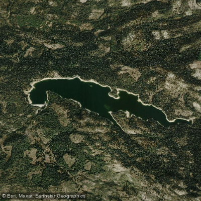
Ice House Reservoir
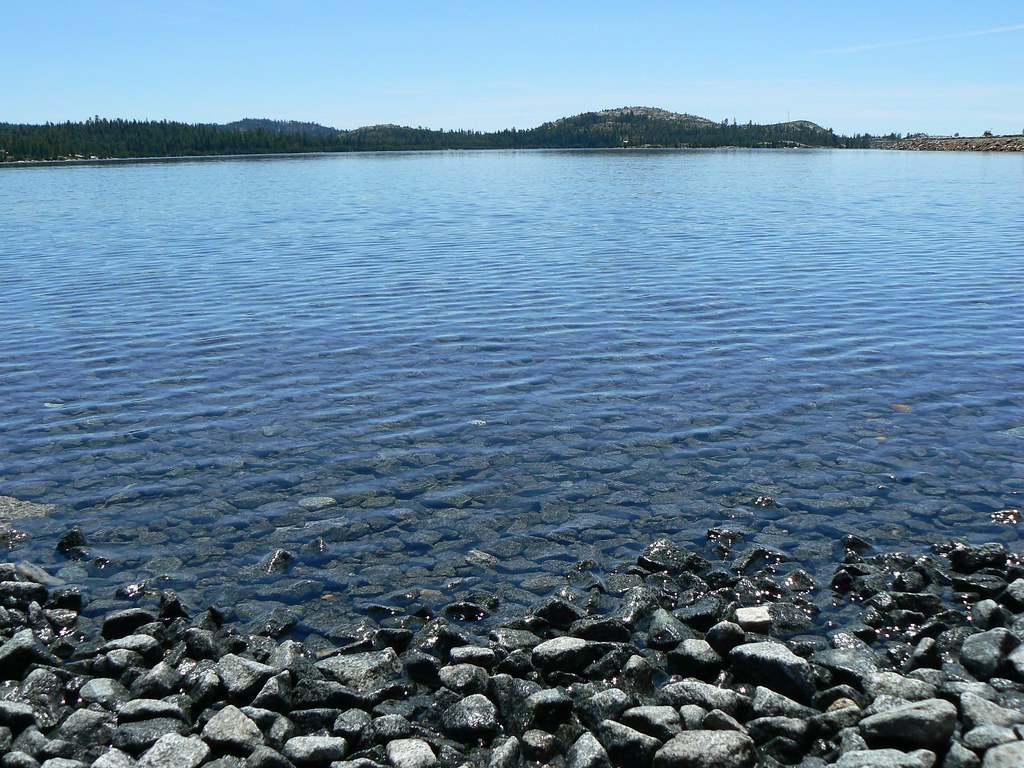
Loon Lake
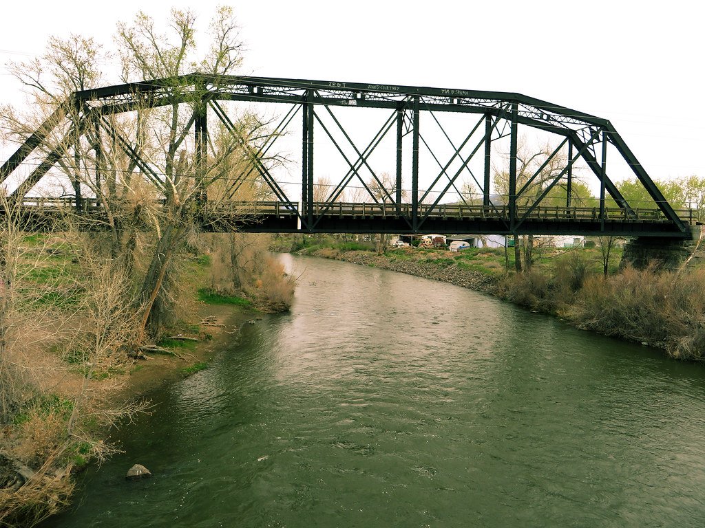
Truckee River

North Fork American River
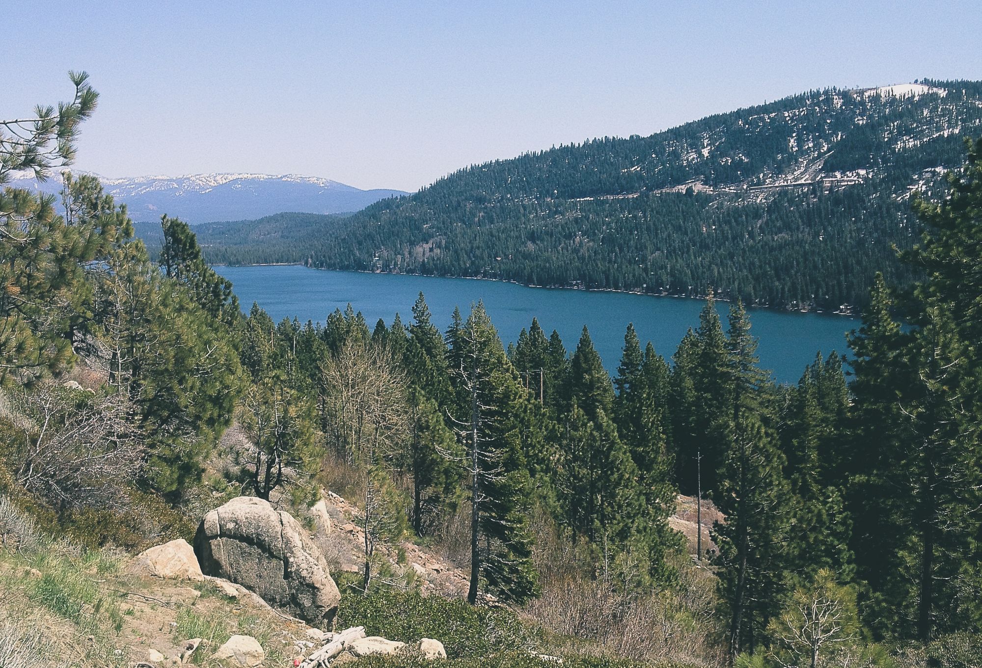
Donner Lake
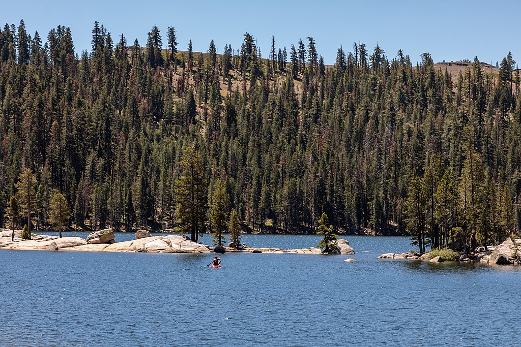
Lake Alpine
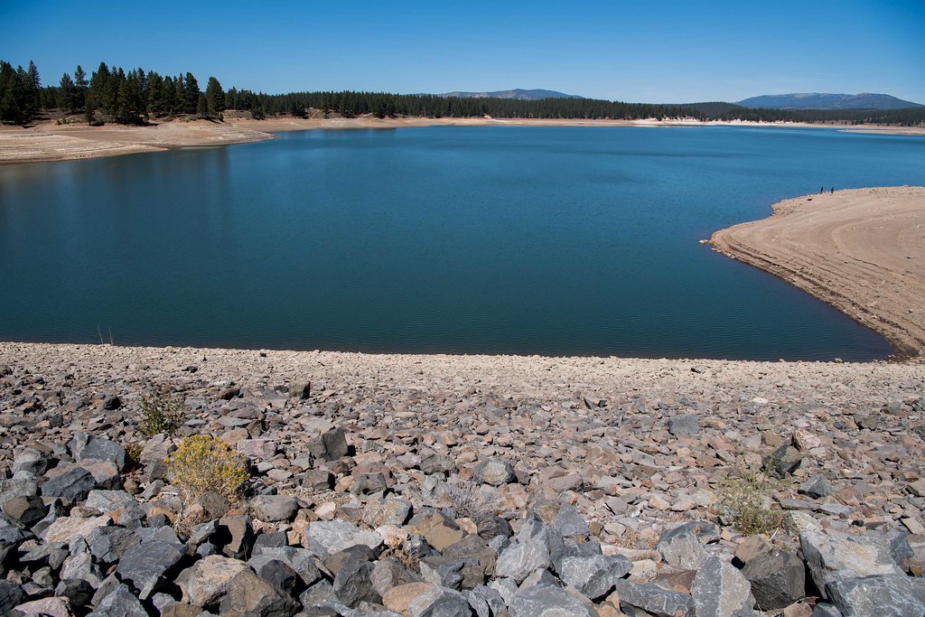
Boca Reservoir
California licenses and regulations
Explore California waters
Top fishing waters
No waters available right now.
Popular Cities
Loading popular cities...
Explore near Stanislaus River Clarks Fork Access
Nearby spots
- Baker Campground Access
- Boulder Flat Campground Access
- Brightman Flat Access
- Clark Fork Access
- Clark Fork Trailhead Access
- Columns of the Giants Trailhead Access
- Cottonwood Access
- Dardanelle Campground Access
- Deadman Campground Access
- Douglas Flat Day Use Access
- East Douglas Access
- Eureka Valley Campground Access
- All 31 nearby spots
Nearby waters
More in California

Smarter Fishing Starts in the App.
onWater Fish gives you everything you need to plan smarter, fish better, and own every trip from first cast to last.