Soda Creek/Pacific Crest Trail Access
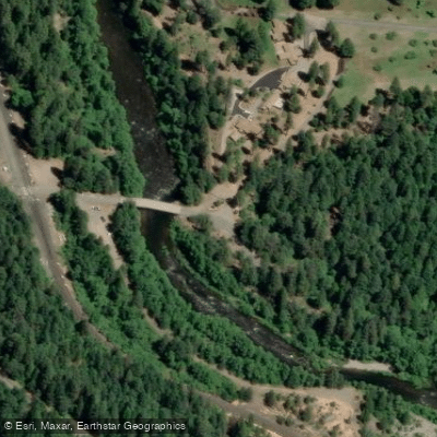
Soda Creek/Pacific Crest Trail Access
This trailhead provides direct access to the Pacific Crest Trail near Interstate 5, located just yards from the southbound Soda Creek exit.
The access point serves as a southern terminus for lower Castle Crags section hiking, offering connections to multiple trail systems and scenic creek crossings in the area.
Nearby points of interest
Find excellent fishing spots, easy access to boat ramps, and all the amenities you need for a memorable day. Your adventure starts here.
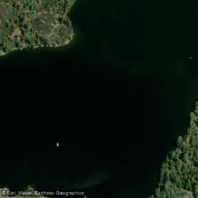
Castle Lake Access
Access Point
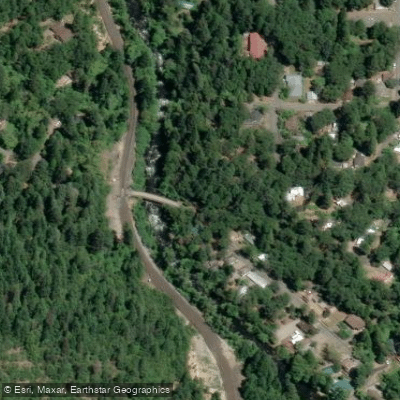
Cave Ave Access
Access Point
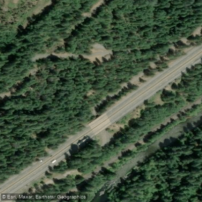
Conant Rd Access
Access Point
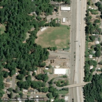
Dunsmuir City Park Access
Access Point
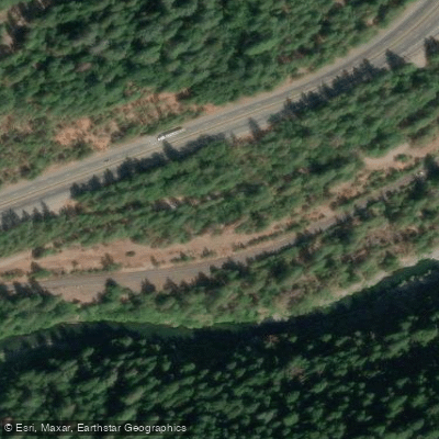
Flume Creek Rd Access
Access Point
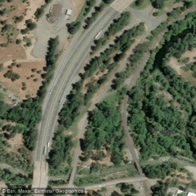
Frontage Rd Access
Access Point
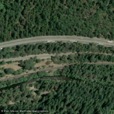
Frontage Rd Access
Access Point
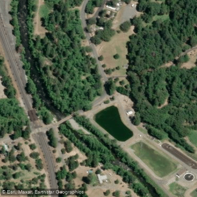
S 1st Street Access
Access Point
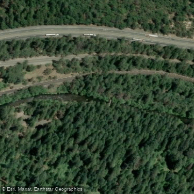
Sacramento River, Upper (Shasta County) Access
Access Point
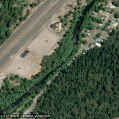
Sacramento River, Upper (Siskiyou County) Access
Access Point
Water and weather conditions (10 day forecast)
Check the forecast at Soda Creek/Pacific Crest Trail Access before you go fishing.
No forecast data available.
Fishing near Soda Creek/Pacific Crest Trail Access
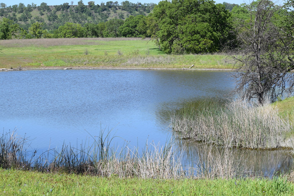
Sacramento River
California
104.6 miles away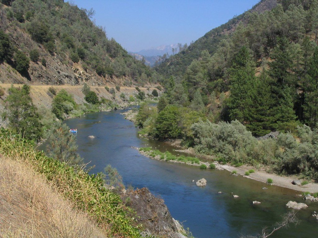
Trinity River
California
51.1 miles away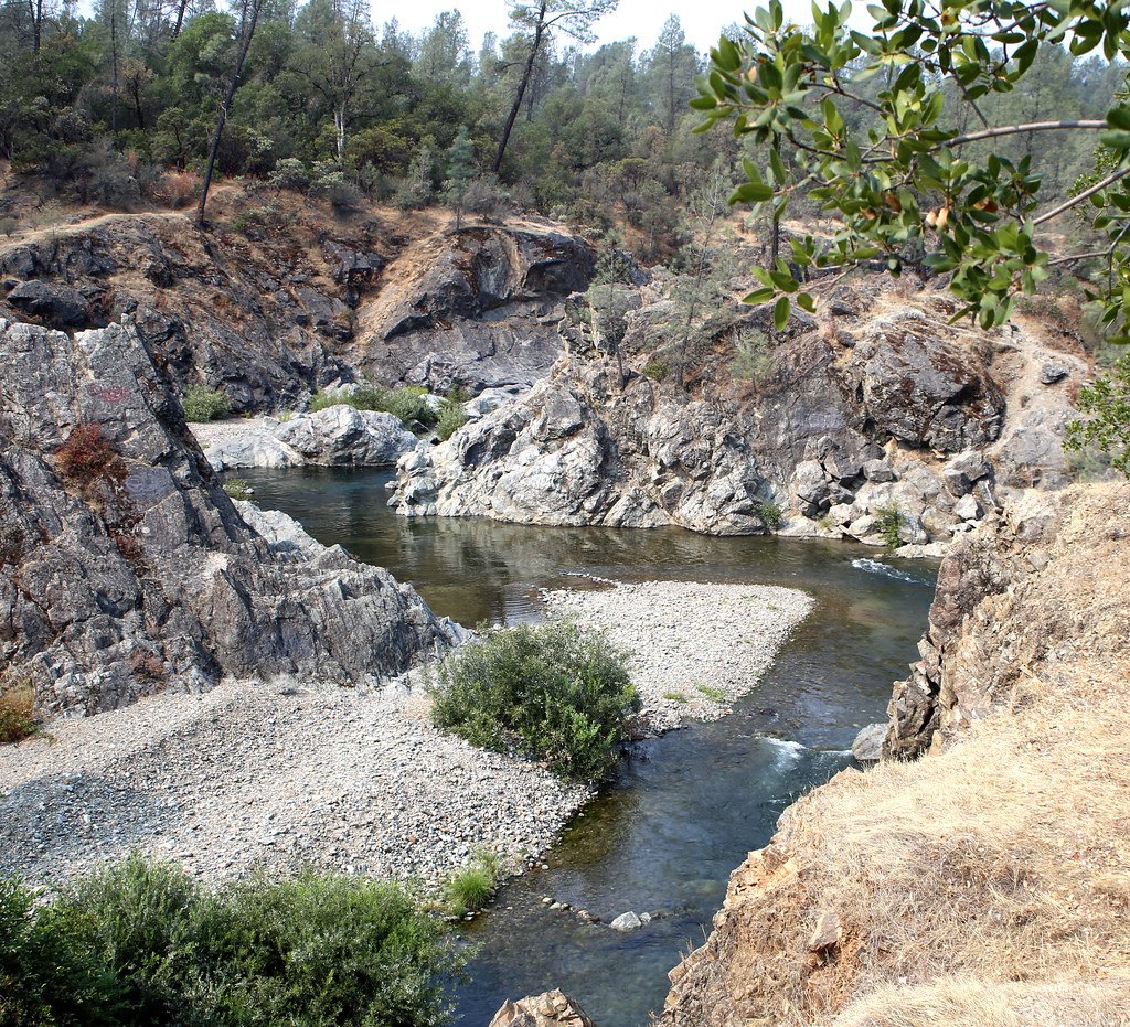
Clear Creek
California
38.6 miles away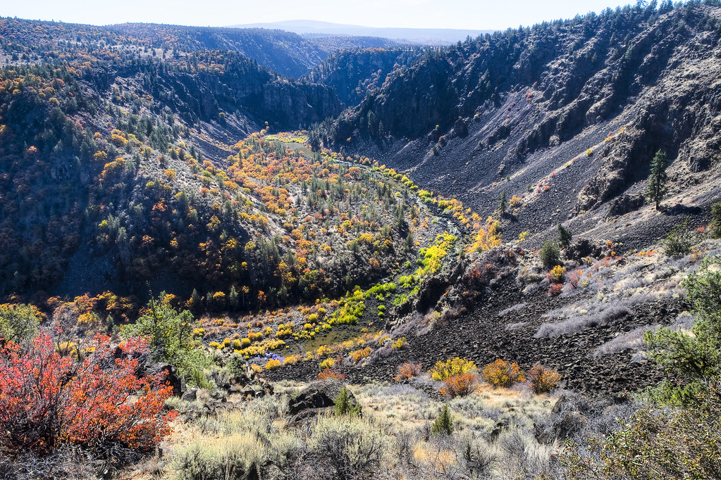
Pit River
California
47.6 miles away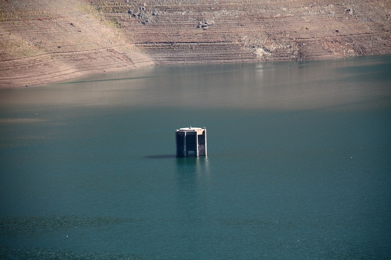
Trinity Lake
California
26.1 miles away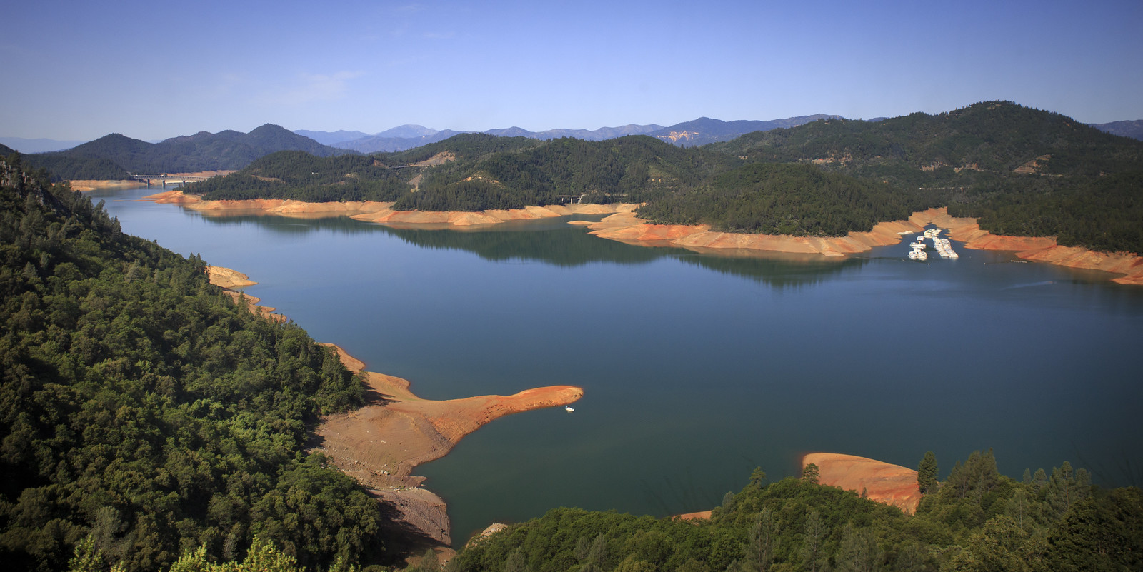
Shasta Lake
California
24 miles away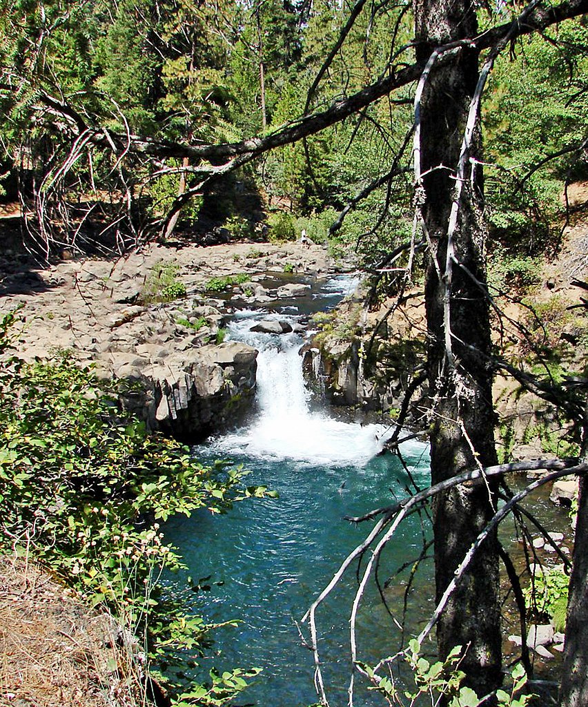
McCloud River
California
11.7 miles away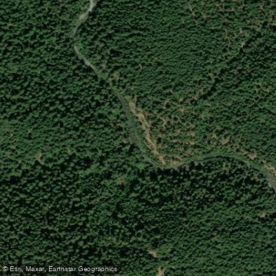
Stuart Fork
California
38.2 miles away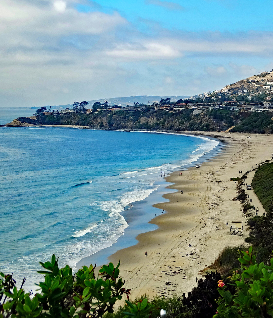
Salt Creek
California
20.5 miles away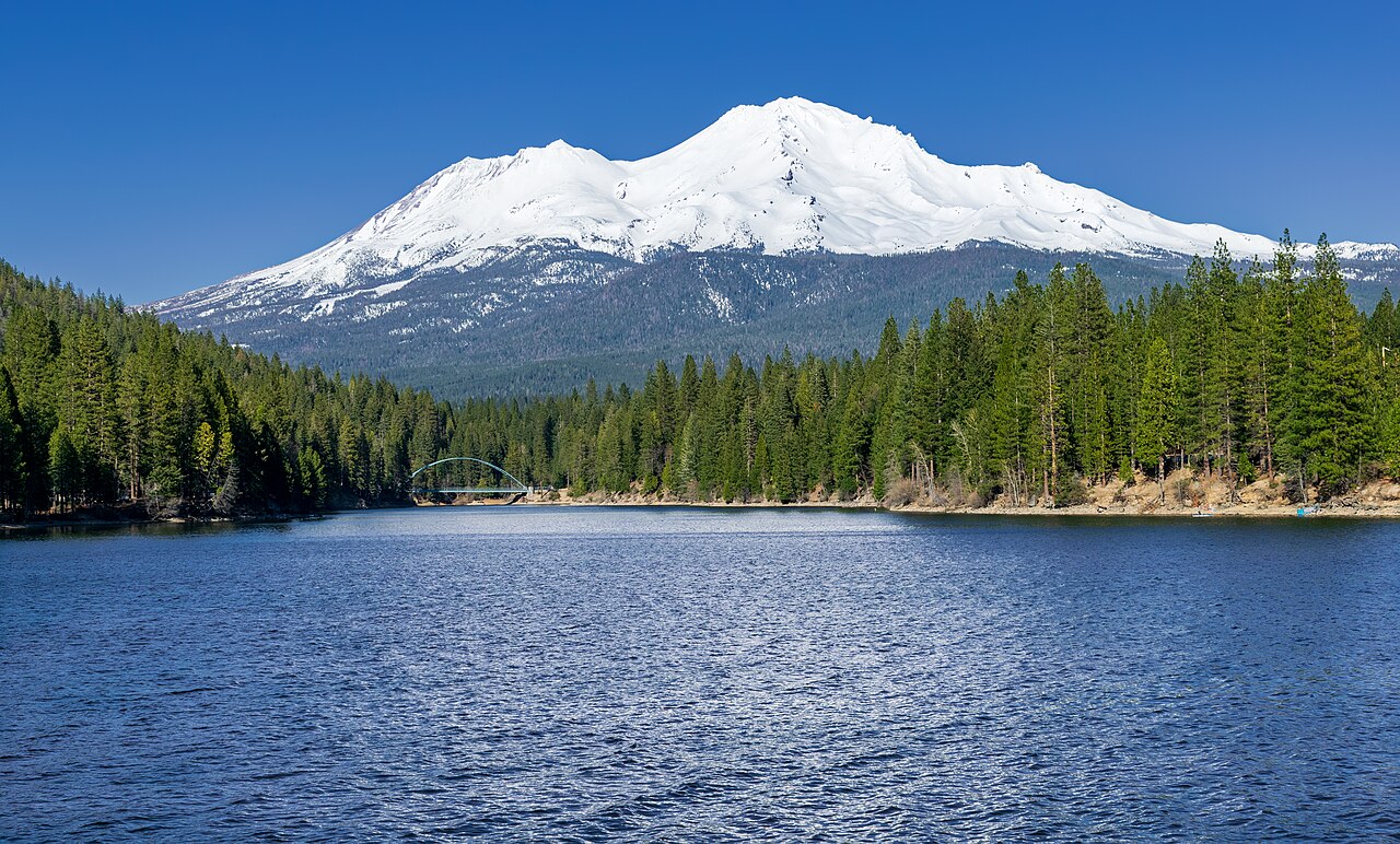
Lake Siskiyou
California
8.6 miles awayCalifornia licenses and regulations
Explore California waters
Top fishing waters
No waters available right now.
Popular Cities
Loading popular cities...
Explore near Soda Creek/Pacific Crest Trail Access
Nearby spots
- Castle Lake Access
- Cave Ave Access
- Conant Rd Access
- Dunsmuir City Park Access
- Flume Creek Rd Access
- Frontage Rd Access
- S 1st Street Access
- Sacramento River, Upper (Shasta County) Access
- Sacramento River, Upper (Siskiyou County) Access
- Sweetbrier Ave Access
- Tauhindauli Park Access
- Cave Ave/Scarlet Way Bridge
- All 21 nearby spots
Nearby waters
More in California

Smarter Fishing Starts in the App.
onWater Fish gives you everything you need to plan smarter, fish better, and own every trip from first cast to last.