Rock Creek, Section 1 Access
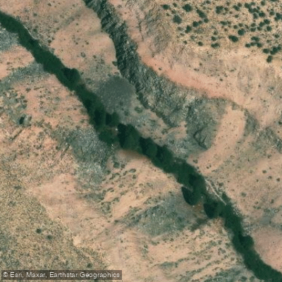
Rock Creek, Section 1 Access
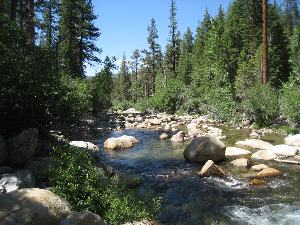
Rock Creek, Section 1 Access is the highest elevation entry point to the Lower Rock Creek Trail system near Tom's Place, located about 30 miles south of Mammoth on Highway 395.
This access point offers an all-downhill route that parallels Lower Rock Creek through forested sections, making it popular with hikers, mountain bikers, and horseback riders.
The area sits at approximately 6,880 feet elevation and is relatively snow-free most of the year, providing extended recreational access.
Nearby points of interest
Find excellent fishing spots, easy access to boat ramps, and all the amenities you need for a memorable day. Your adventure starts here.
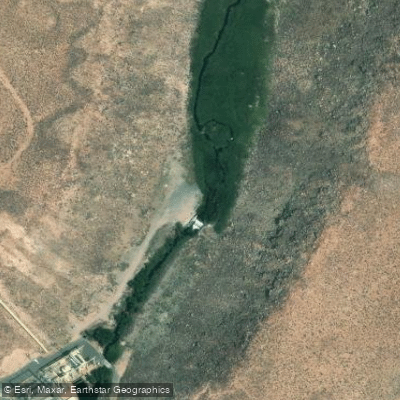
Bishop Power Plant Access
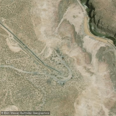
Central and Inner Gorge Access
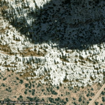
Hike-in Access
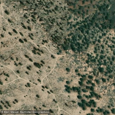
Hike-in Access
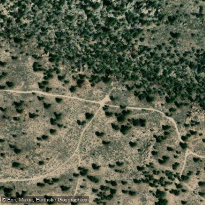
Hike-in Access
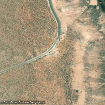
Lower Gorge Access
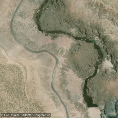
Lower Gorge Access
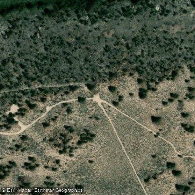
Owens Gorge Rd Access
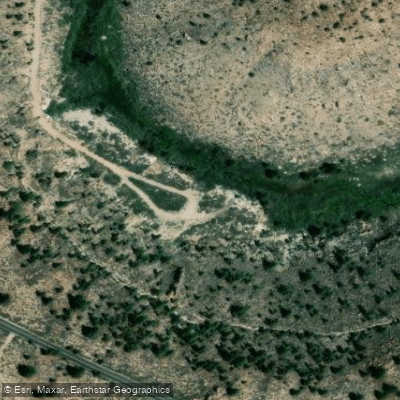
Owens Gorge Rd Dam Access
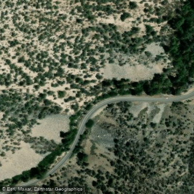
Rock Creek, Section 2 Access
Water and weather conditions (10 day forecast)
Check the forecast at Rock Creek, Section 1 Access before you go fishing.
No forecast data available.
Fishing near Rock Creek, Section 1 Access
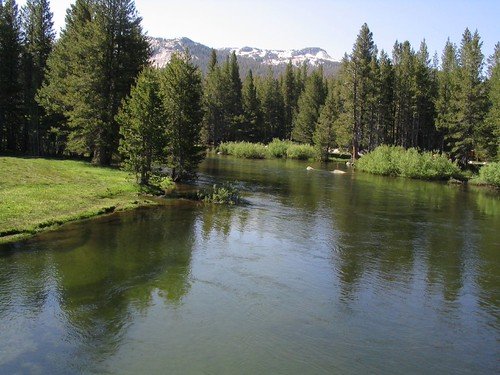
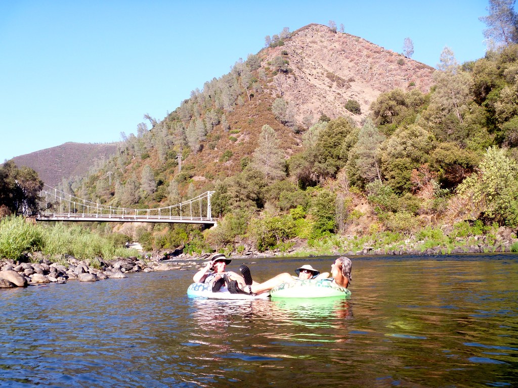
Tuolumne River
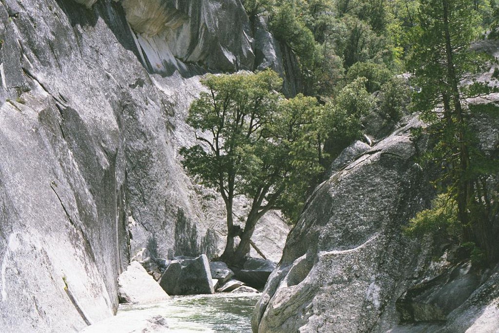
Merced River
Middle Fork San Joaquin River
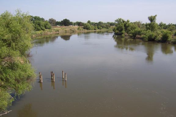
San Joaquin River
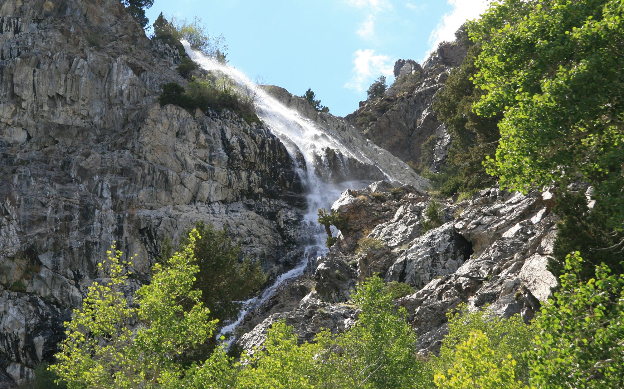
Rush Creek
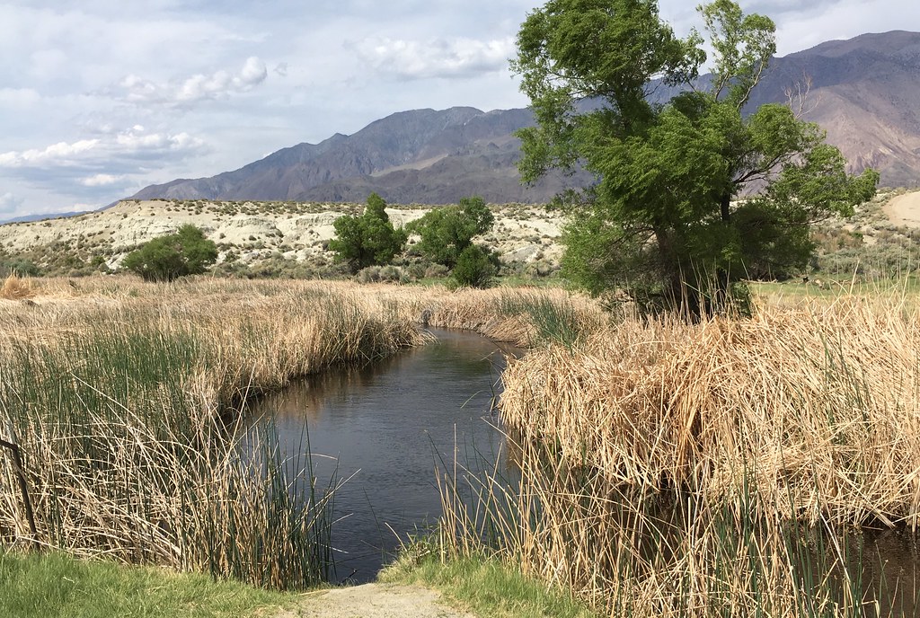
Owens River
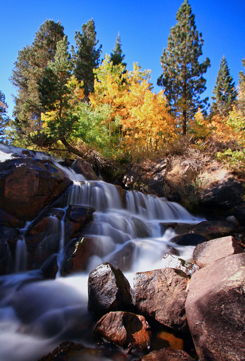
Lee Vining Creek
East Walker River
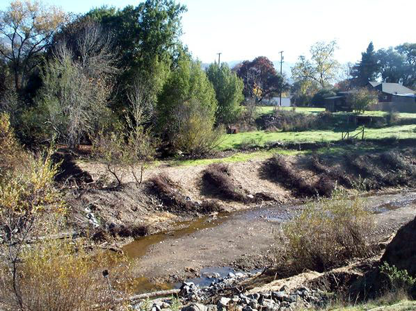
Robinson Creek
South Fork San Joaquin River
California licenses and regulations
Explore California waters
Top fishing waters
No waters available right now.
Popular Cities
Loading popular cities...
Explore near Rock Creek, Section 1 Access
Nearby spots
- Rock Creek (Mono County) at Paradise Lodge Access
- Bishop Power Plant Access
- Central and Inner Gorge Access
- Hike-in Access
- Lower Gorge Access
- Owens Gorge Rd Access
- Owens Gorge Rd Dam Access
- Rock Creek, Section 2 Access
- Rock Creek Trail Access
- Upper Gorge Rd Hike-in Access
- Upper Power Plant Rd Access
- Upper Power Plant Rd Hike-in Access
- All 16 nearby spots
Nearby waters
More in California

Smarter Fishing Starts in the App.
onWater Fish gives you everything you need to plan smarter, fish better, and own every trip from first cast to last.