Putah Creek Hike-in Access Area
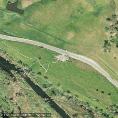
Putah Creek Hike-in Access Area
The Putah Creek Hike-in Access Area provides multiple trailhead parking options along the UC Davis Putah Creek Riparian Reserve, including gravel lots at Pedrick Road, Brooks Road, Fire Ring Picnic Grounds, and Old Davis Road, with distances ranging from 1.
2 to 1. 5 miles between access points.
Key amenities include picnic tables at several locations, a fire pit at Fire Ring Picnic Grounds (by reservation), and a portable restroom at Pedrick Road; note that the public trail is restricted to the north side of the creek on UC Davis property, and winter flooding may require using the levee route instead of the creek-side path.
Nearby points of interest
Find excellent fishing spots, easy access to boat ramps, and all the amenities you need for a memorable day. Your adventure starts here.
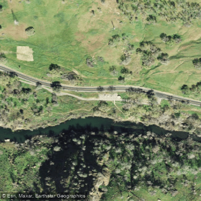
Bray Canyon Access
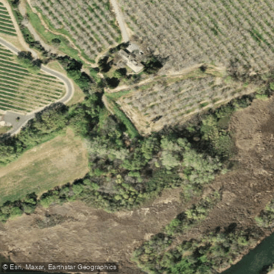
Bureau of Reclamation Area Access
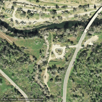
Cold Canyon Trail Access and Parking Area
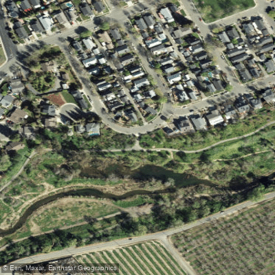
Creekside Way Hike-in Access
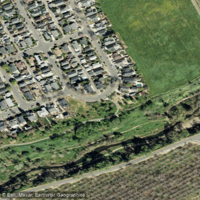
Creekside Way Hike-In Access
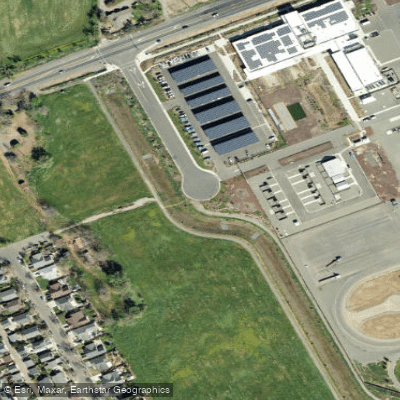
E Grant Ave Access
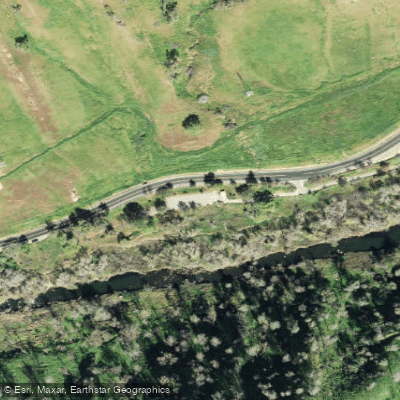
Highway 128 Access and Parking Area
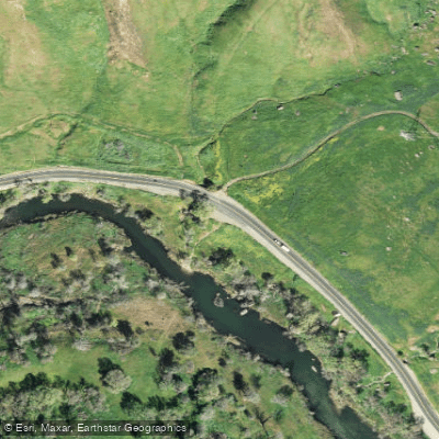
Highway 128 Access Point and Parking Area
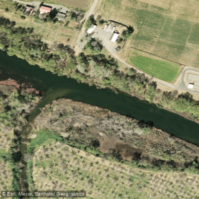
Lake Solano Access
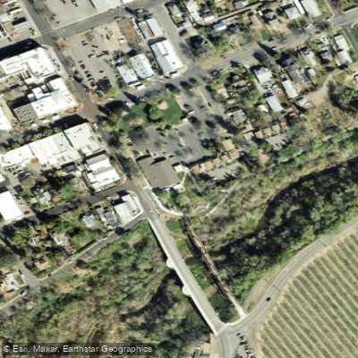
Putah Creek Access
Water and weather conditions (10 day forecast)
Check the forecast at Putah Creek Hike-in Access Area before you go fishing.
No forecast data available.
Fishing near Putah Creek Hike-in Access Area
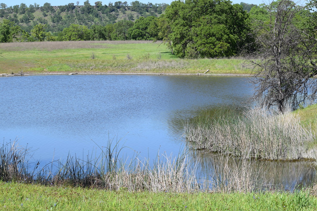
Sacramento River
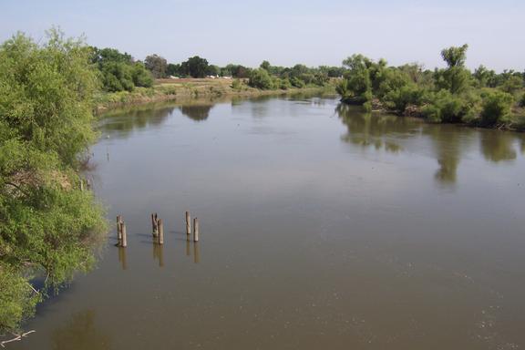
San Joaquin River
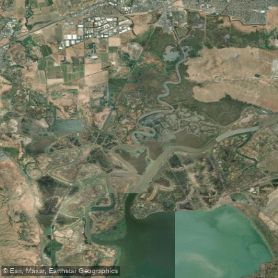
Suisun Slough
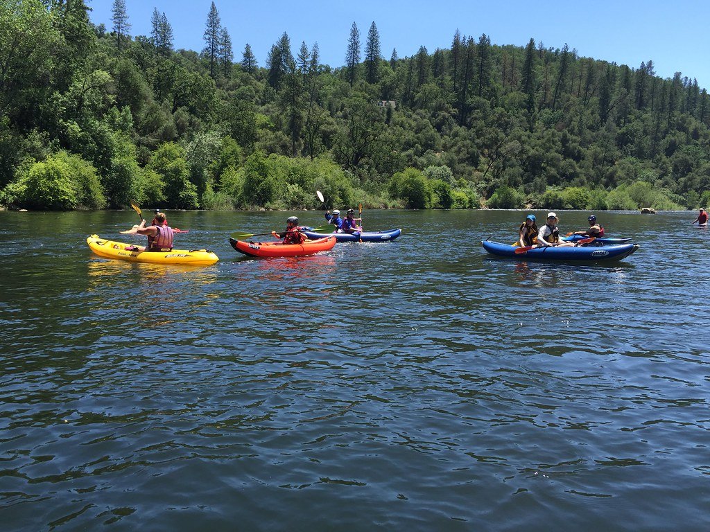
American River
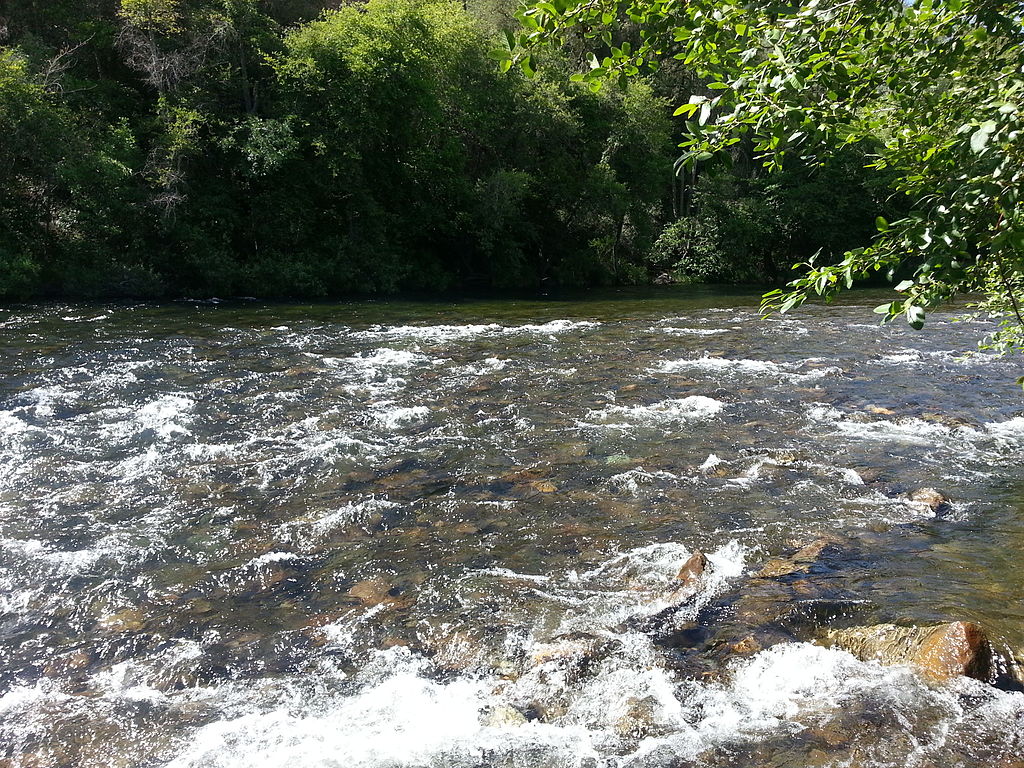
Mokelumne River

San Pablo Bay
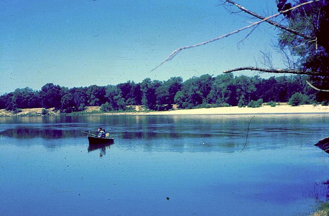
Feather River
Napa River
Denverton Slough
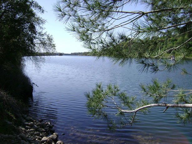
Lake Natoma
California licenses and regulations
Explore California waters
Top fishing waters
No waters available right now.
Popular Cities
Loading popular cities...
Explore near Putah Creek Hike-in Access Area
Nearby spots
- Markley Cove Resort Boat Ramp
- Bray Canyon Access
- Bureau of Reclamation Area Access
- Cold Canyon Trail Access and Parking Area
- Creekside Way Hike-in Access
- E Grant Ave Access
- Highway 128 Access and Parking Area
- Highway 128 Access Point and Parking Area
- Lake Solano Access
- Putah Creek Access
- Putah Creek (Solano County) Access
- Solano Lake Park Day Use Access
- All 18 nearby spots
Nearby waters
More in California

Smarter Fishing Starts in the App.
onWater Fish gives you everything you need to plan smarter, fish better, and own every trip from first cast to last.