Lower Lola Montez Lake Access
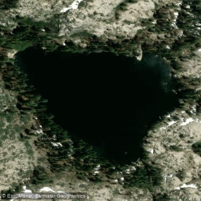
Lower Lola Montez Lake Access
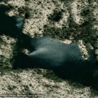
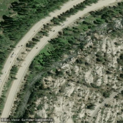
Lower Lola Montez Lake Access is reached via a moderate 3. 25-mile hike from the Soda Springs exit off I-80, with a trailhead marked on Sherritt Road where limited roadside parking is available.
The trail alternates between single-track and gravel road through private property (stay on marked trail), gaining approximately 735 feet in elevation over roughly 1. 25 hours of hiking.
The access point is suitable for day hikes and backpacking, with camping available at the lake's western end near a shallow cove.
Nearby points of interest
Find excellent fishing spots, easy access to boat ramps, and all the amenities you need for a memorable day. Your adventure starts here.
Water and weather conditions (10 day forecast)
Check the forecast at Lower Lola Montez Lake Access before you go fishing.
No forecast data available.
Fishing near Lower Lola Montez Lake Access
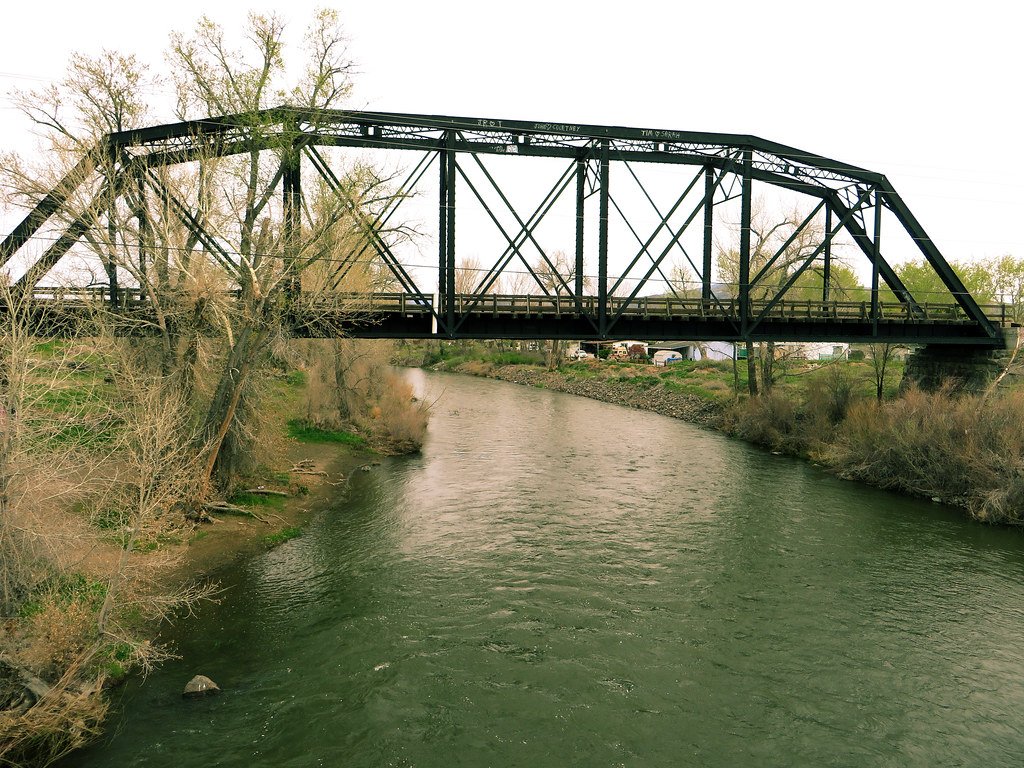
Truckee River
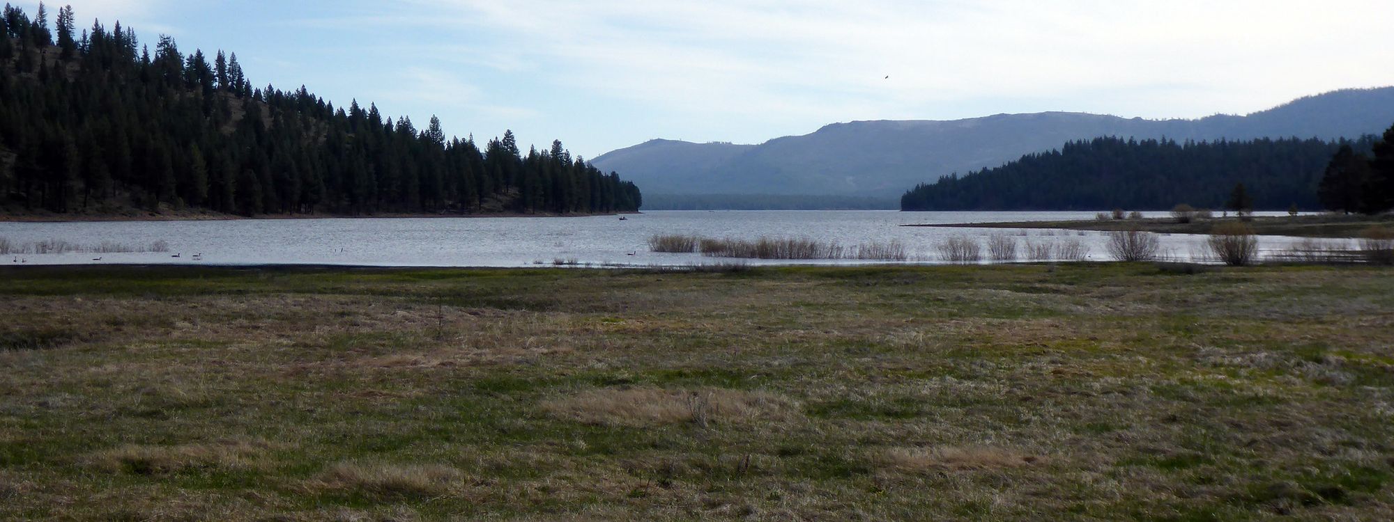
Stampede Reservoir
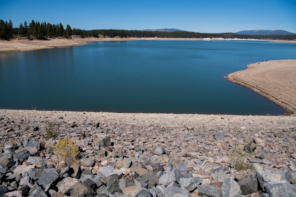
Boca Reservoir
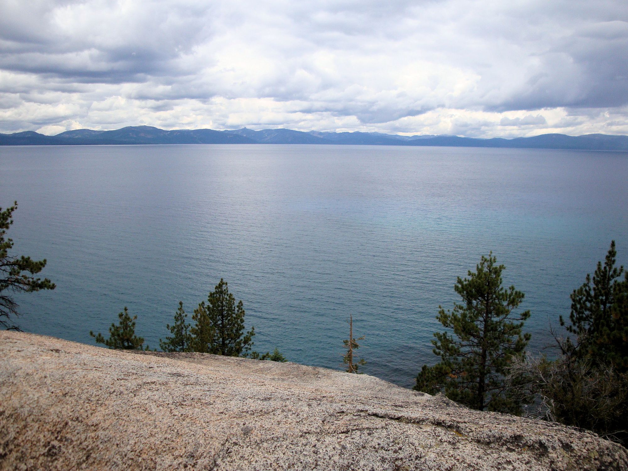
Lake Tahoe
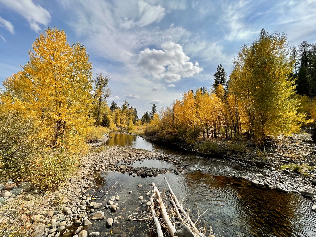
Little Truckee River
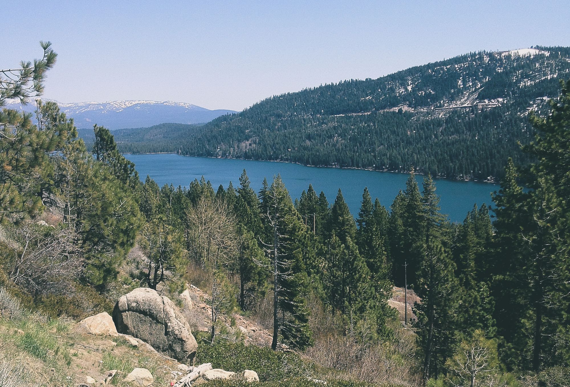
Donner Lake
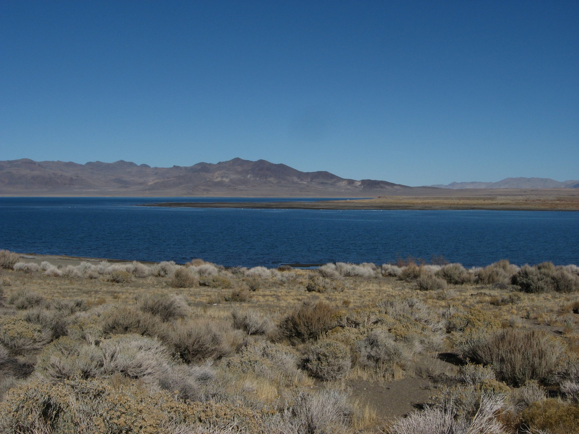
Pyramid Lake

North Fork American River
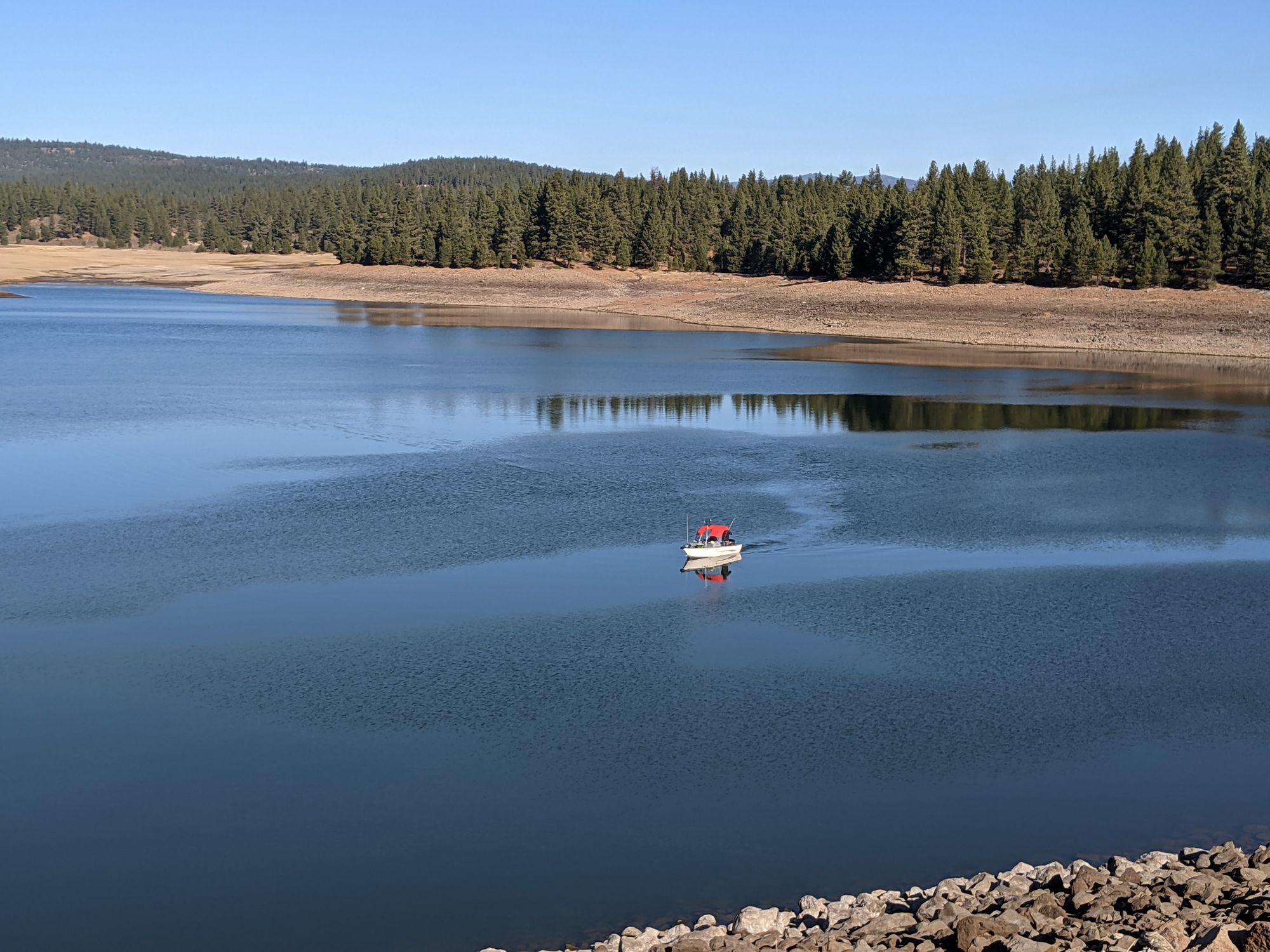
Prosser Creek
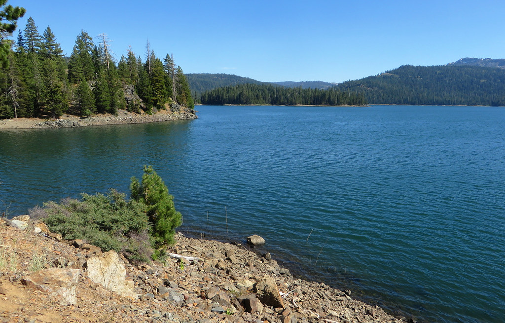
Jackson Meadows Reservoir
California licenses and regulations
Explore California waters
Top fishing waters
No waters available right now.
Popular Cities
Loading popular cities...
Explore near Lower Lola Montez Lake Access
Nearby spots
Nearby waters
More in California

Smarter Fishing Starts in the App.
onWater Fish gives you everything you need to plan smarter, fish better, and own every trip from first cast to last.