Craig's Creek Access
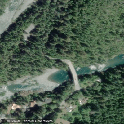
Craig's Creek Access
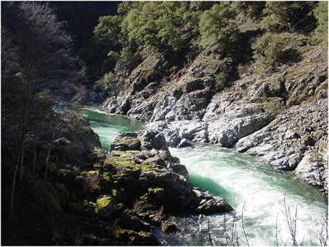
Craig's Creek Access provides a trailhead for a 3. 7-mile moderate hiking trail that descends to the confluence of Craig's Creek and the South Fork Smith River, offering a secluded riverside location with swimming opportunities and boulder beaches.
The trail begins at Tryon Bridge on the north side of South Fork Road (about 15 minutes from Gasquet) and passes through old-growth redwood and Douglas fir forest before reaching a tranquil riverside oasis with smooth rocks suitable for swimming.
Note that poison oak is present along the trail edges, and a landslide has been reported approximately 2 miles into the hike that may affect passability.
Nearby points of interest
Find excellent fishing spots, easy access to boat ramps, and all the amenities you need for a memorable day. Your adventure starts here.
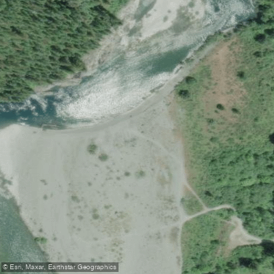
Charlie Dr/Peacock Bar North Access
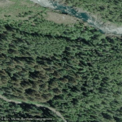
Cooper Flat Access
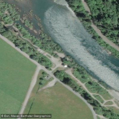
Crescent City Water Tower Access
Hardscrabble Creek Access
Hiouchi Bridge Access
Hwy 199 Roadside Pull-off Access
Jedediah Smith Redwoods State Park Access
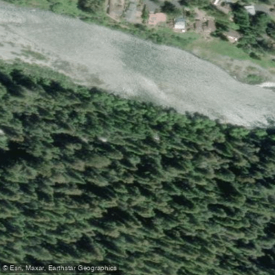
Jedediah Smith Redwoods State Park Access
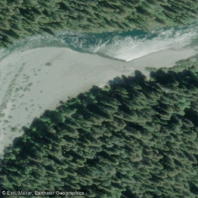
Jedediah Smith Redwood State Park Access
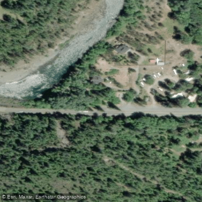
Margie's River Access
Water and weather conditions (10 day forecast)
Check the forecast at Craig's Creek Access before you go fishing.
No forecast data available.
Fishing near Craig's Creek Access
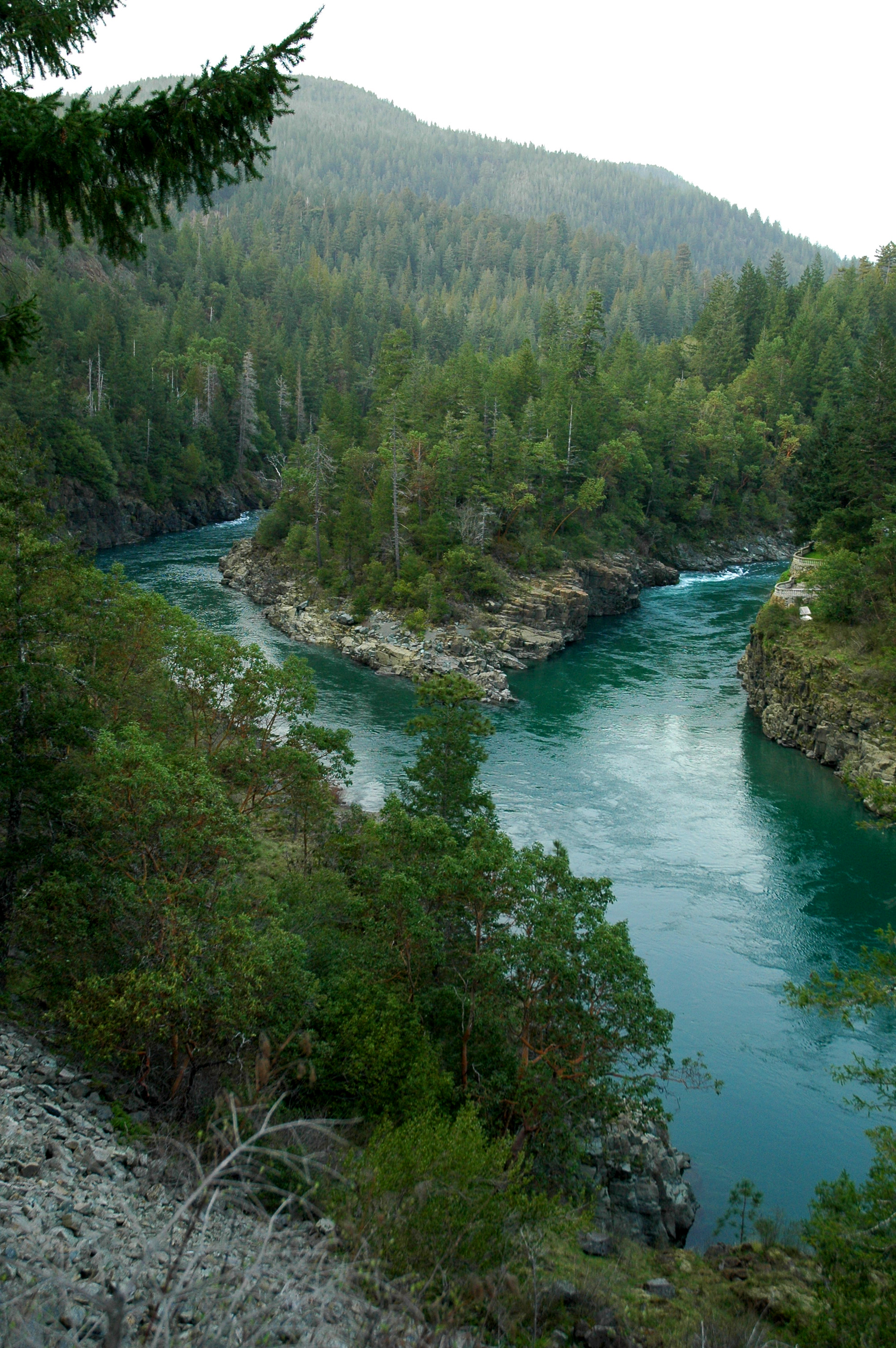
Smith River
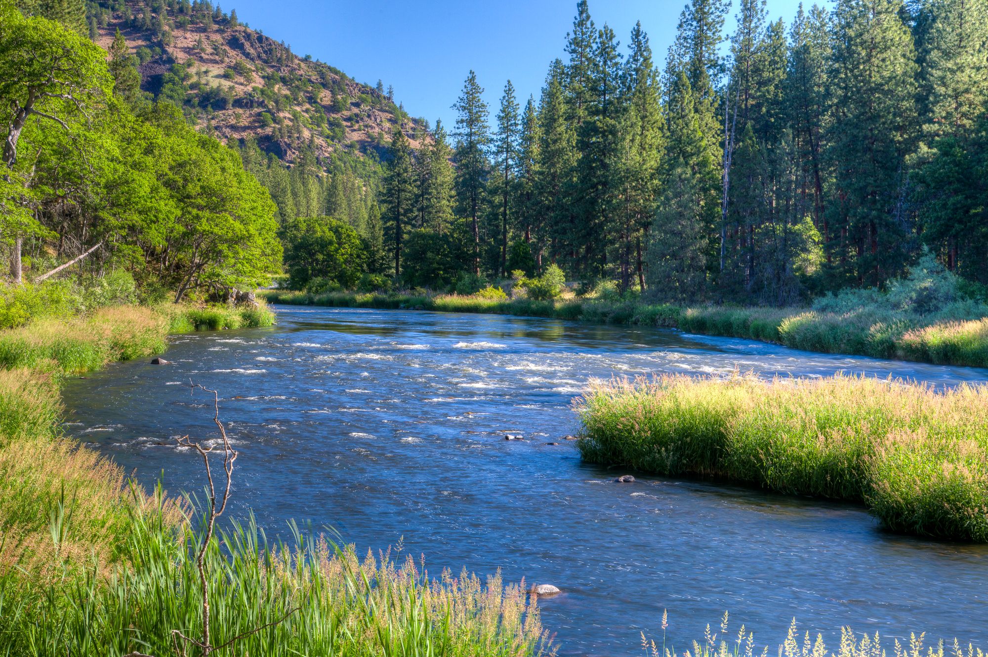
Klamath River
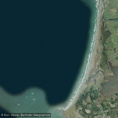
Pelican Bay
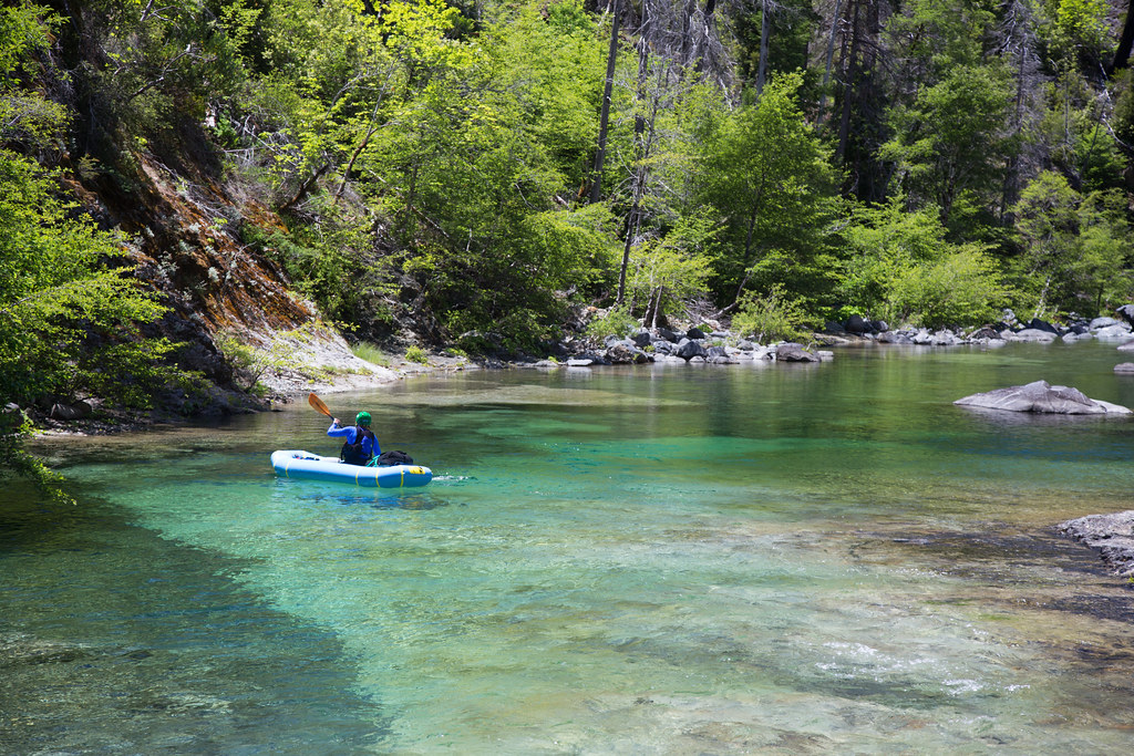
Chetco River
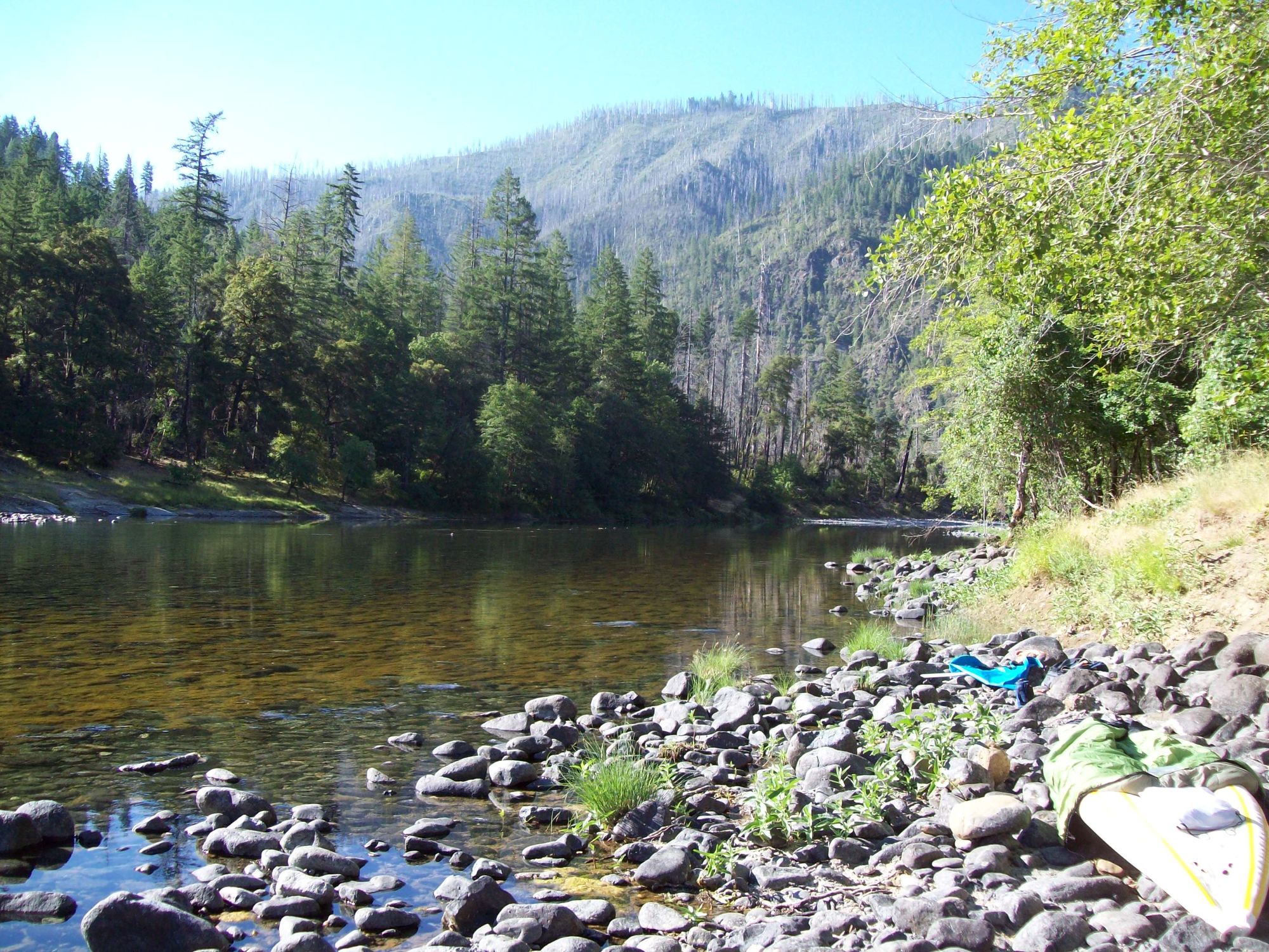
Illinois River
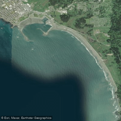
Chase Ledge
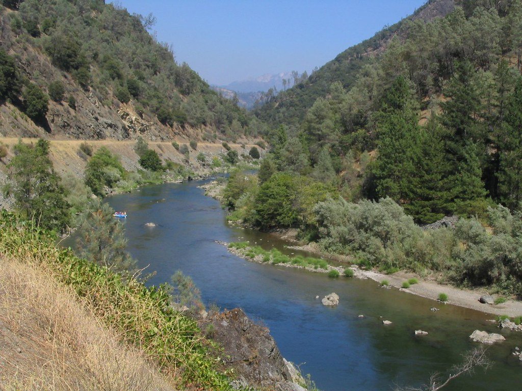
Trinity River
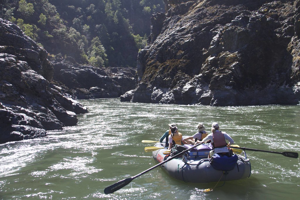
Rogue River
Saint George Channel
Salmon River
California licenses and regulations
Explore California waters
Top fishing waters
No waters available right now.
Popular Cities
Loading popular cities...
Explore near Craig's Creek Access
Nearby spots
- Charlie Dr/Peacock Bar North Boat Ramp
- Forks of the Smith Boat Ramp
- Forks River Boat Ramp
- Jedediah Smith Redwood State Park Campground Boat Ramp
- Margie's River Access Ramp
- Middle Fork Gorge Boat Ramp
- Myrtle Beach Boat Ramp
- Peacock Bar Boat Ramp
- Ruby Van Deventer County Park Boat Ramp
- Smith River National Recreation Area - (Winter Only Access) Boat Ramp
- Society Hole Boat Ramp
- The Forks BTAF Boat Ramp
- All 50 nearby spots
Nearby waters
More in California

Smarter Fishing Starts in the App.
onWater Fish gives you everything you need to plan smarter, fish better, and own every trip from first cast to last.