St. Francis Sunken Lands WMA Boat Ramp
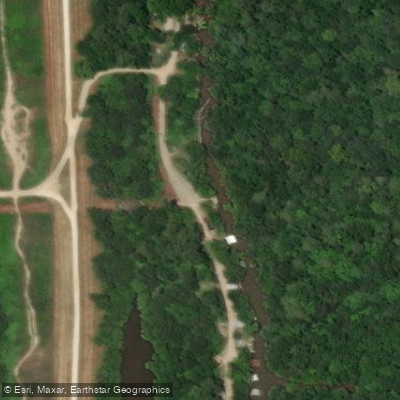
St. Francis Sunken Lands WMA Boat Ramp
St. Francis Sunken Lands WMA offers multiple boat ramp access points (Iron Bridge, Stephen's Landing, and Oak Donnick) for paddling and fishing on the St. Francis River, a 10-mile water trail formed by the 1811-12 New Madrid earthquakes.
The area is generally free of rapids with slow current (1-2 mph), though high winds and flooding can create hazardous conditions, so paddlers should check water levels before visiting.
A free annual General Use Permit is required to use the WMA, and the area is popular for waterfowl hunting in fall/winter, so paddlers should avoid early morning hours during hunting season.
Nearby points of interest
Find excellent fishing spots, easy access to boat ramps, and all the amenities you need for a memorable day. Your adventure starts here.
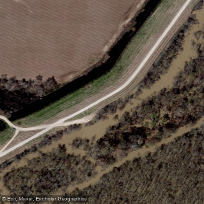
Water and weather conditions (10 day forecast)
Check the forecast at St. Francis Sunken Lands WMA Boat Ramp before you go fishing.
No forecast data available.
Fishing near St. Francis Sunken Lands WMA Boat Ramp
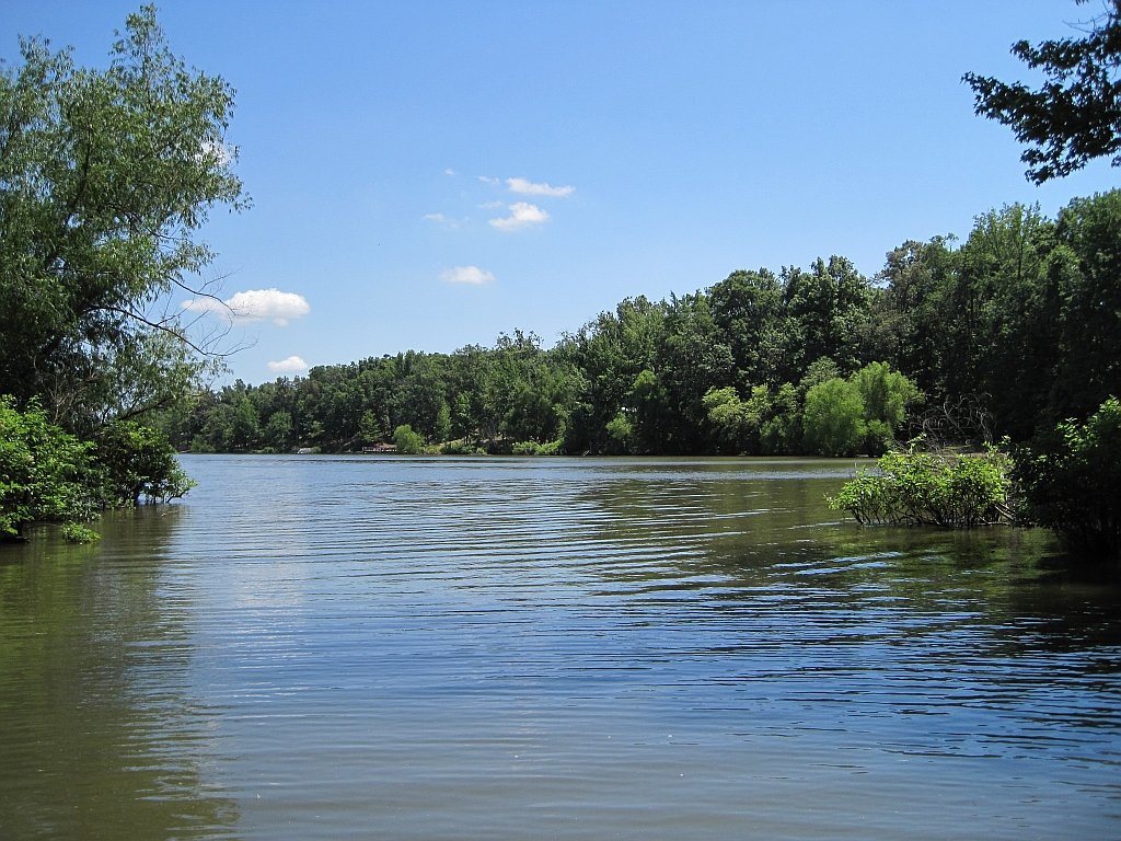
Lake Poinsett
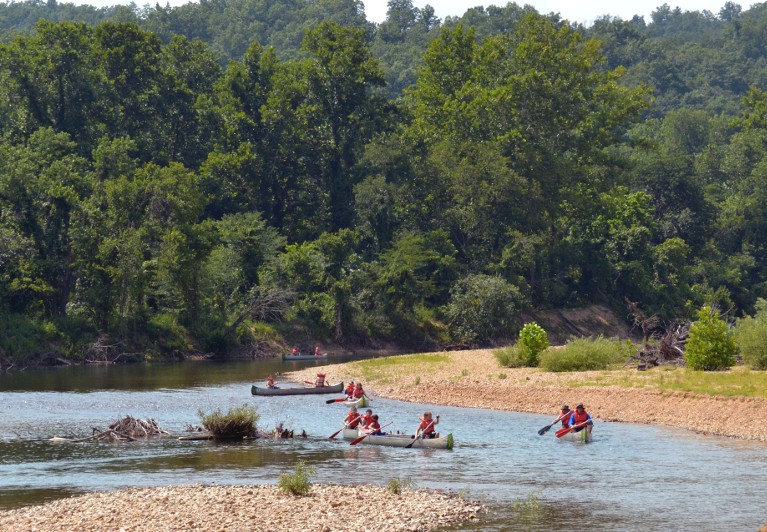
Black River
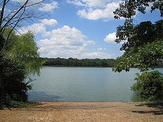
Lake Hogue
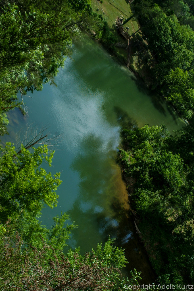
Spring River
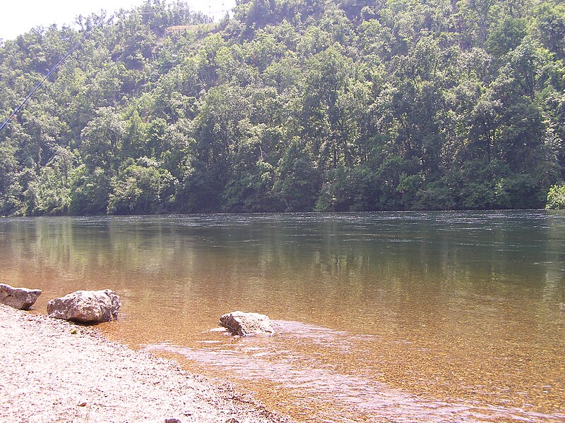
White River
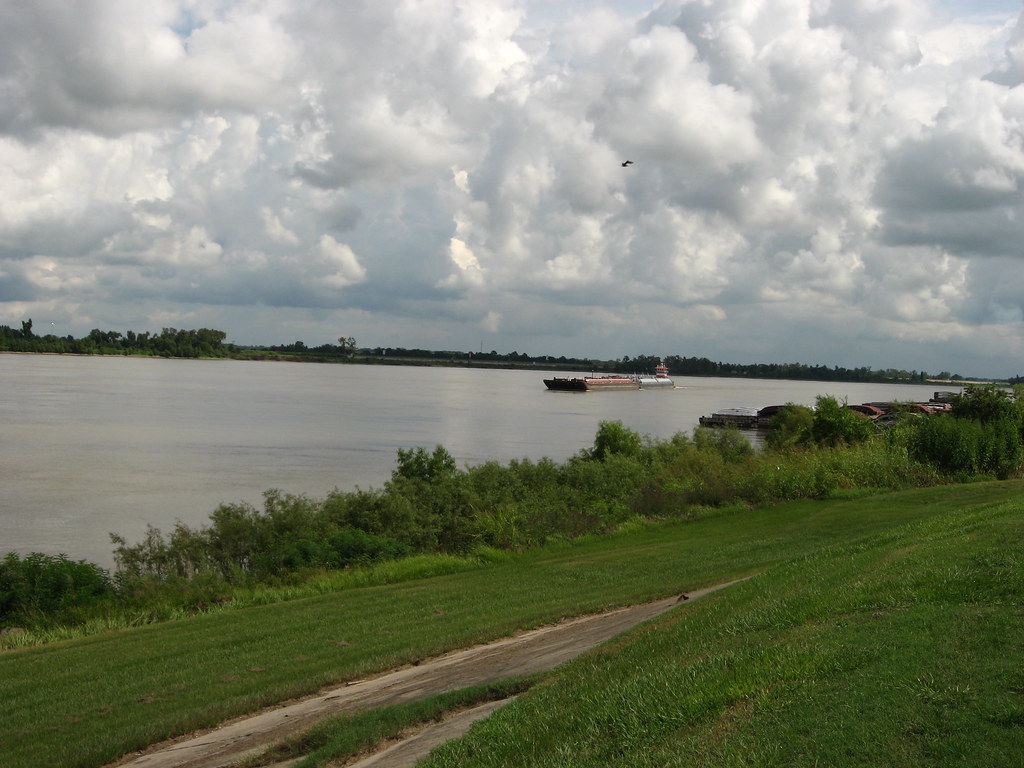
Mississippi River
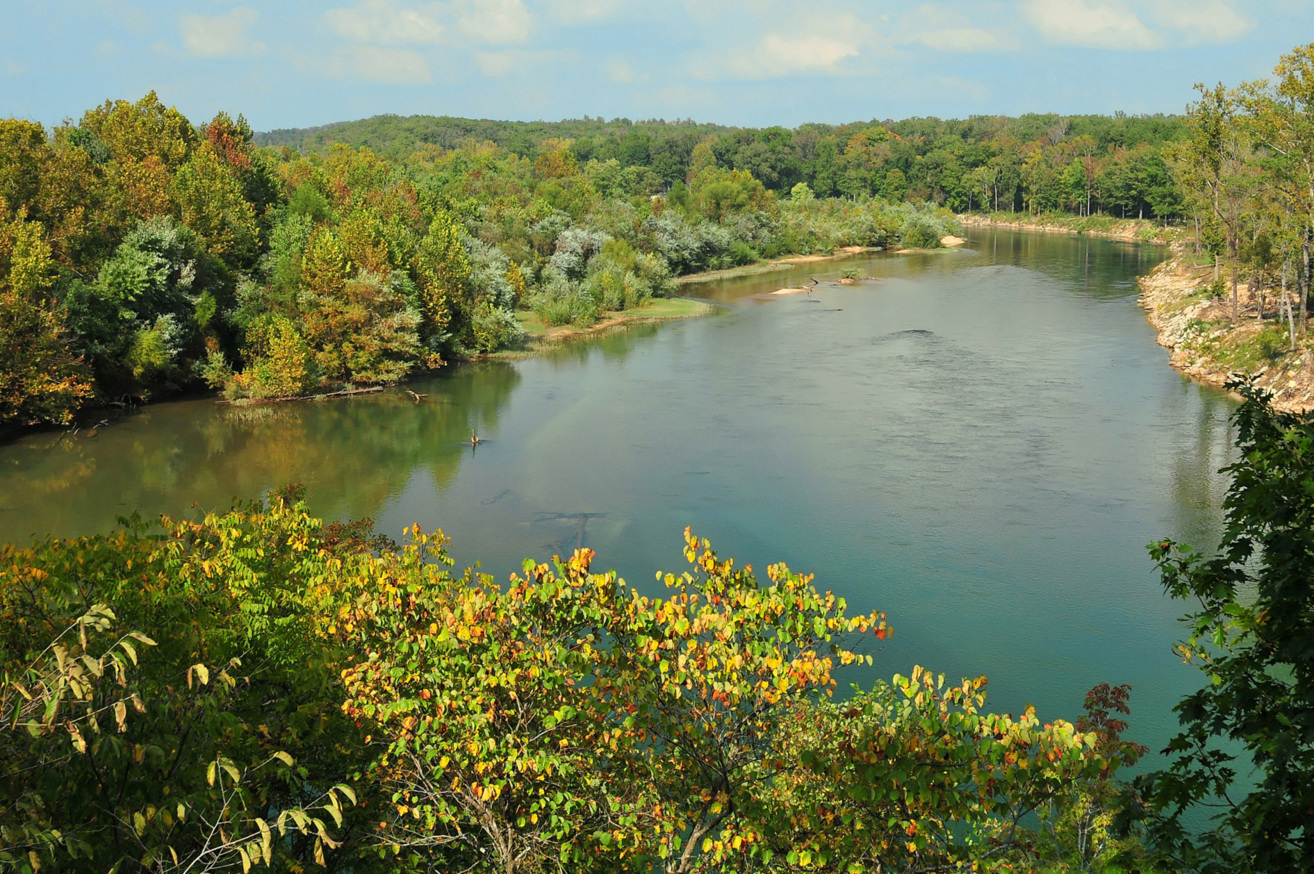
Current River
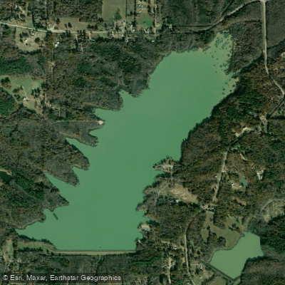
Lake Frierson
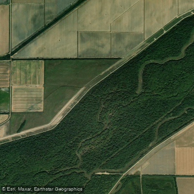
Saint Francis River
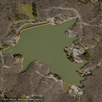
Craighead Forest Lake
Arkansas licenses and regulations
Explore Arkansas waters
Top fishing waters
No waters available right now.
Popular Cities
Loading popular cities...
Explore near St. Francis Sunken Lands WMA Boat Ramp
Nearby spots
- Iron Bridge Boat Ramp
- Oak Donick Boat Ramp
- Stephen's Landing Boat Ramp
- St. Francis Sunken Lands Combine Field Boat Ramp
- St. Francis Sunken Lands South Pump Boat Ramp
- St. Francis Sunken Lands State WMA Boat Ramp
- St. Francis Sunken Lands Turkey Island Slough Boating Access
- St. Francis Sunken Lands WMA Boat Ramp
- St. Francis Sunken Lands Deep Landing Access
- Snowden Campground
- St. Francis Sunken Lands Hatchie Coon Parking Area #4
- St. Francis Sunken Lands Iron Bridge Parking Area
- All 14 nearby spots
Nearby waters
More in Arkansas

Smarter Fishing Starts in the App.
onWater Fish gives you everything you need to plan smarter, fish better, and own every trip from first cast to last.