Te Awarua-o-Porirua Harbour
- Saltwater
- Harbor
Te Awarua-o-Porirua Harbour
- Saltwater
- Harbor
- Sq. miles
- 2.9
- Boat Ramps
- 1
- Access Points
- 1
- Species
- 8
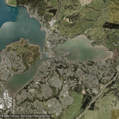
Te Awarua-o-Porirua Harbour, commonly known as Porirua Harbour, is the largest estuary in the lower North Island, located just 20 minutes north of Wellington. This natural harbour is situated within the main urban area of Porirua City and is formed by two primary arms: the Onepoto Arm to the south and the Pāuatahanui Arm extending to the north-east, each approximately three kilometres in length. The harbour entrance is narrow, only a few hundred metres wide near Plimmerton, opening into the Tasman Sea. The Pāuatahanui Arm features the largest remaining estuarine wetland in the lower North Island at its head, where the Pāuatahanui Stream enters. The harbour's geography was shaped by postglacial sea-level rise drowning westward-flowing rivers thousands of years ago. It is a dynamic, shallow-water environment influenced by tidal flows and freshwater inputs, with ongoing sedimentation being a notable characteristic.
Species & education
Learn what type of fish are at Te Awarua-o-Porirua Harbour and what's needed to catch them.



Fishing spots, boat ramps & amenities
Learn how to get on Te Awarua-o-Porirua Harbour. Uncover great fishing access points, boat ramps, and all the facilities you need for an unforgettable day on the water. Some locations shown may border or include private property. Always check property boundaries and applicable regulations before visiting. onWater's Public & Private Land layer can help you plan your access with confidence.
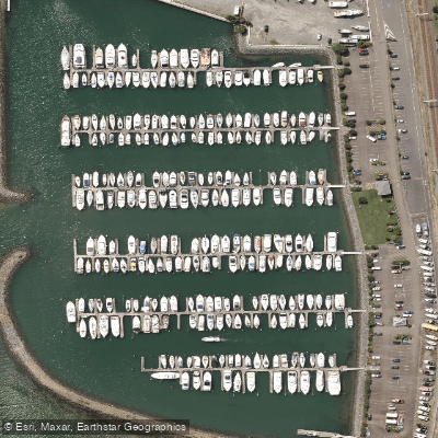
Know where you can legally fish on Te Awarua-o-Porirua Harbour
See public and private land boundaries along the water, turn on private parcels with owner details to know where permission is required, and find land-trust parcels that offer permitted fishing access.
Wellington licenses and regulations
No licenses or regulations available for Wellington.
Take Te Awarua-o-Porirua Harbour with you
The onWater Fish app keeps this water's access points, species and conditions in your pocket, with the tools you use once you're there.
Use the map without signal
Download the map around Te Awarua-o-Porirua Harbour to use it offline when coverage drops.
Log your catches here
Keep a private fishing journal for Te Awarua-o-Porirua Harbour to find where and when fish are biting for you.
Get the onWater Fish app
Free on iOS and Android
Tides, wind & water conditions (10 day forecast)
On open water, wind and tide matter as much as the weather. See the best times to fish Te Awarua-o-Porirua Harbour and check the marine forecast before you launch.
Loading tide predictions…
Fishing near Te Awarua-o-Porirua Harbour
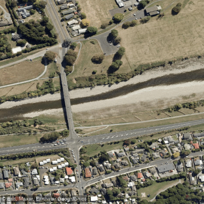
Te Awa Kairangi / Hutt River
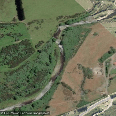
Wainuiomata River
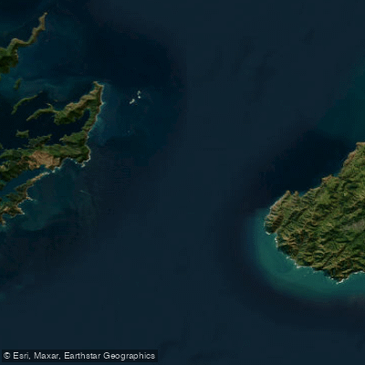
Te Moana-o-Raukawa / Cook Strait
Ōrongorongo River
Waikanae River
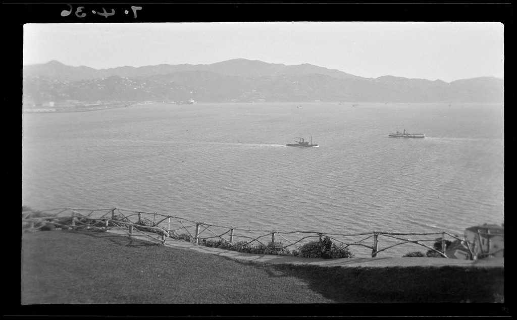
Wellington Harbour / Port Nicholson
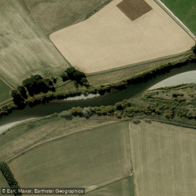
Ruamahanga River
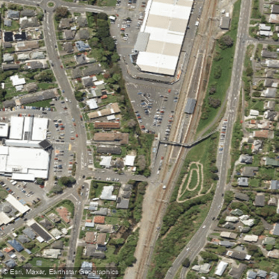
Porirua Stream
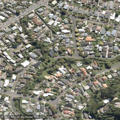
Waiwhetū Stream
Explore Wellington waters
Top fishing waters
No waters available right now.
Popular Cities
Loading popular cities...
Explore near Te Awarua-o-Porirua Harbour
Fish species
Fishing spots
Nearby waters
More in Wellington

Smarter Fishing Starts in the App.
onWater Fish gives you everything you need to plan smarter, fish better, and own every trip from first cast to last.