Waimea Inlet
- Saltwater
- Inlet
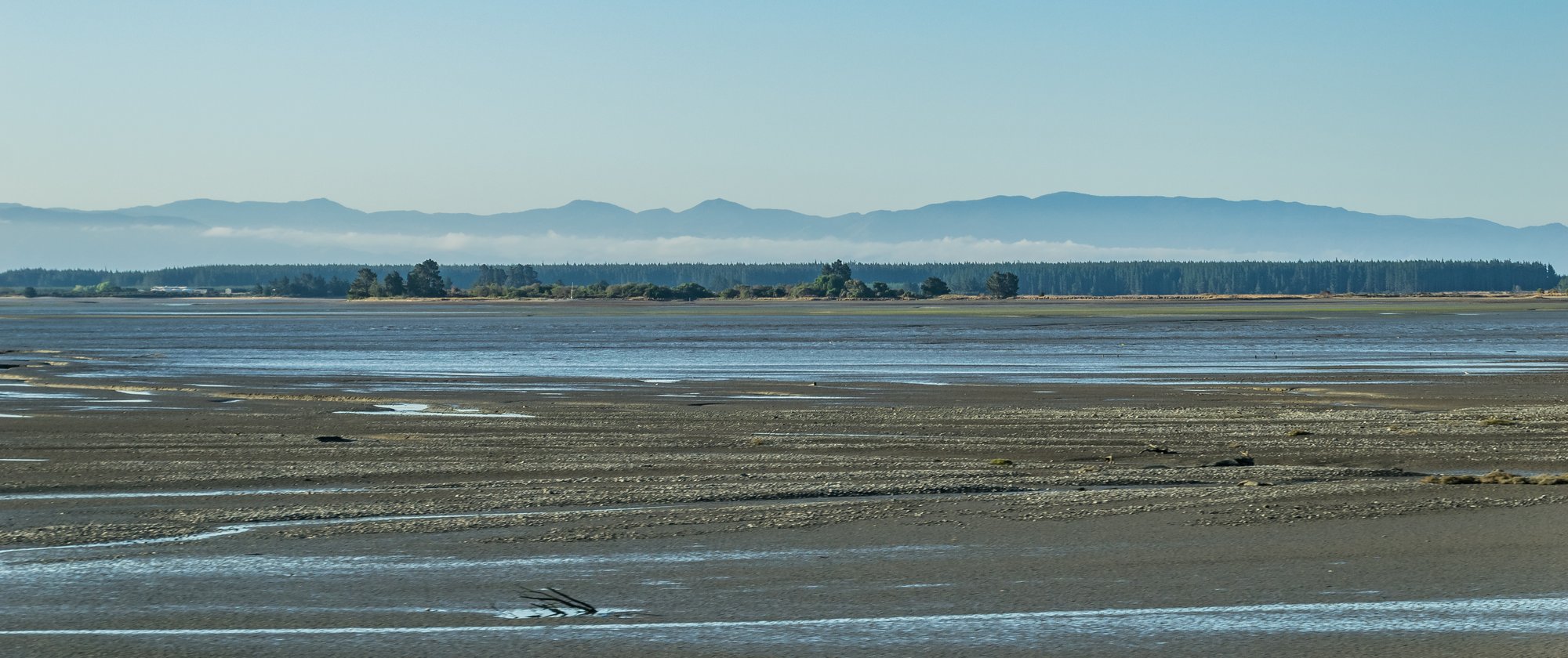
Waimea Inlet
- Saltwater
- Inlet
- Sq. miles
- 13
- Boat Ramps
- 1
- Access Points
- 0
- Species
- 6
Waimea Inlet is the largest semi-enclosed coastal estuary in New Zealand's South Island, encompassing 3,455 hectares with an internal coastline of 65 kilometers between Tahunanui and Mapua. This significant tidal inlet is defined by a line connecting the Tasman Bay shoreline at Mapua, Moturoa Rabbit Island, and Tahunanui Beach. It functions as a vital ecological transition zone where the freshwater flows of the Waimea River and 21 other streams and rivers meet the saltwater of Tasman Bay. The inlet features a complex mosaic of habitats, including intertidal flats, channels, and ten islands, with Rabbit Island forming a prominent outer barrier that influences tidal flows and sediment distribution. It is a landscape of immense importance for migratory birds and native fish species, situated beside the urban centers of Nelson, Richmond, and Mapua, making it a highly accessible yet ecologically sensitive fishing destination.
Species & education
Learn what type of fish are at Waimea Inlet and what's needed to catch them.

Find which waters have the species you want to catch

Grey Mullet
Mugil cephalus

Kahawai
Arripis trutta

Rig
Mustelus lenticulatus

Spiny Dogfish
Squalus acanthias

Yellow-eyed Mullet
Aldrichetta forsteri

Yellowbelly Flounder
Rhombosolea leporina
Fishing spots, boat ramps & amenities
Learn how to get on Waimea Inlet. Uncover great fishing access points, boat ramps, and all the facilities you need for an unforgettable day on the water. Some locations shown may border or include private property. Always check property boundaries and applicable regulations before visiting. onWater's Public & Private Land layer can help you plan your access with confidence.
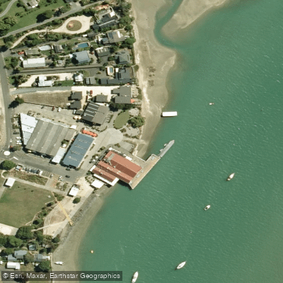
Know where you can legally fish on Waimea Inlet
See public and private land boundaries along the water, turn on private parcels with owner details to know where permission is required, and find land-trust parcels that offer permitted fishing access.
Tasman licenses and regulations
No licenses or regulations available for Tasman.
Take Waimea Inlet with you
The onWater Fish app keeps this water's access points, species and conditions in your pocket, with the tools you use once you're there.
Use the map without signal
Download the map around Waimea Inlet to use it offline when coverage drops.
Log your catches here
Keep a private fishing journal for Waimea Inlet to find where and when fish are biting for you.
Get the onWater Fish app
Free on iOS and Android
Tides, wind & water conditions (10 day forecast)
On open water, wind and tide matter as much as the weather. See the best times to fish Waimea Inlet and check the marine forecast before you launch.
Loading tide predictions…
Fishing near Waimea Inlet
Roding River
Te Hoiere / Pelorus River
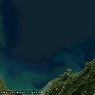
Tasman Bay / Te Tai-o-Aorere
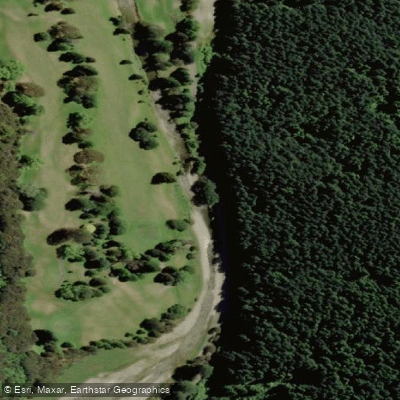
Maitai River
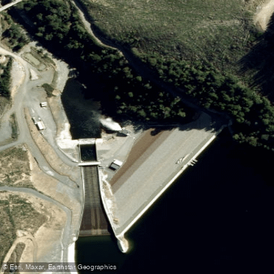
Lee River
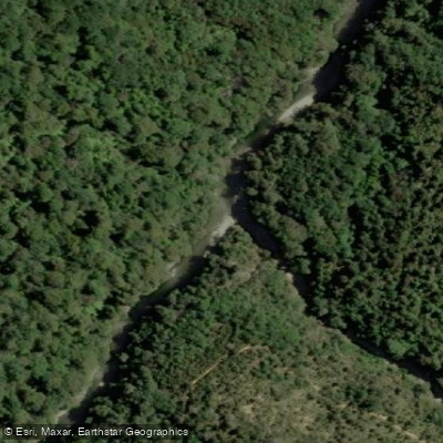
Wakamarina River
Motueka River
Nelson Haven
Wai-iti River
Explore Tasman waters
Top fishing waters
No waters available right now.
Popular Cities
Loading popular cities...
Explore near Waimea Inlet
Nearby waters
More in Tasman

Smarter Fishing Starts in the App.
onWater Fish gives you everything you need to plan smarter, fish better, and own every trip from first cast to last.