Rakituma / Preservation Inlet
- Saltwater
- Inlet
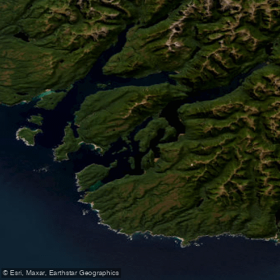
Rakituma / Preservation Inlet
- Saltwater
- Inlet
- Sq. miles
- 38
- Boat Ramps
- 0
- Access Points
- 0
- Species
- 7
Rakituma / Preservation Inlet is the southernmost fiord within Fiordland National Park, located on the remote southwest corner of New Zealand's South Island. This is a vast, complex saltwater environment, not a freshwater river or lake. With a surface area of 93 square kilometres, it is the country's fourth-largest fiord. The geography is intricate, featuring a main body connected to the Tasman Sea by two passages separated by Coal Island, along with numerous smaller islands, bays, and sounds like Te Awaroa / Long Sound and Otago Retreat. The coastline is rugged, with many islands, a testament to its formation. The inlet has a rich history, including a brief 19th-century settlement attempt at Cromarty. Today, it is a remote and pristine part of Fiordland National Park, offering a unique and challenging setting for inshore and nearshore saltwater angling.
Species & education
Learn what type of fish are at Rakituma / Preservation Inlet and what's needed to catch them.

Find which waters have the species you want to catch

Barracouta
Thyrsites atun

Blue Cod
Parapercis colias

Ling
Genypterus blacodes

Red Gurnard
Chelidonichthys kumu

School Shark
Galeorhinus galeus

Sea Perch
Helicolenus percoides

Yellow-eyed Mullet
Aldrichetta forsteri
Fishing spots, boat ramps & amenities
Learn how to get on Rakituma / Preservation Inlet. Uncover great fishing access points, boat ramps, and all the facilities you need for an unforgettable day on the water. Some locations shown may border or include private property. Always check property boundaries and applicable regulations before visiting. onWater's Public & Private Land layer can help you plan your access with confidence.
Know where you can legally fish on Rakituma / Preservation Inlet
See public and private land boundaries along the water, turn on private parcels with owner details to know where permission is required, and find land-trust parcels that offer permitted fishing access.
Southland licenses and regulations
No licenses or regulations available for Southland.
Take Rakituma / Preservation Inlet with you
The onWater Fish app keeps this water's access points, species and conditions in your pocket, with the tools you use once you're there.
Use the map without signal
Download the map around Rakituma / Preservation Inlet to use it offline when coverage drops.
Log your catches here
Keep a private fishing journal for Rakituma / Preservation Inlet to find where and when fish are biting for you.
Get the onWater Fish app
Free on iOS and Android
Tides, wind & water conditions (10 day forecast)
On open water, wind and tide matter as much as the weather. See the best times to fish Rakituma / Preservation Inlet and check the marine forecast before you launch.
Loading tide predictions…
Fishing near Rakituma / Preservation Inlet
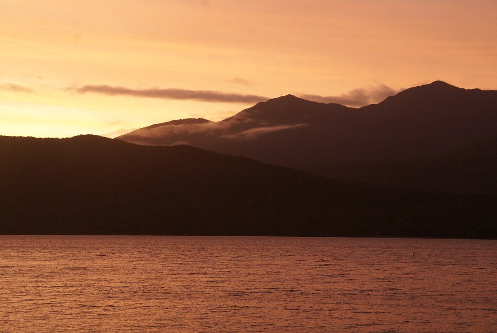
Lake Te Anau
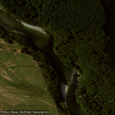
Waiau River
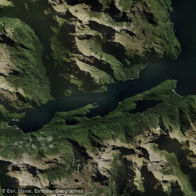
West Arm
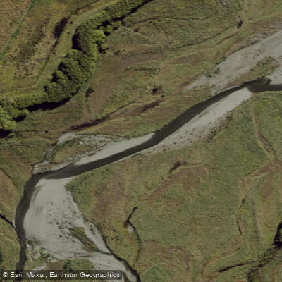
Whitestone River
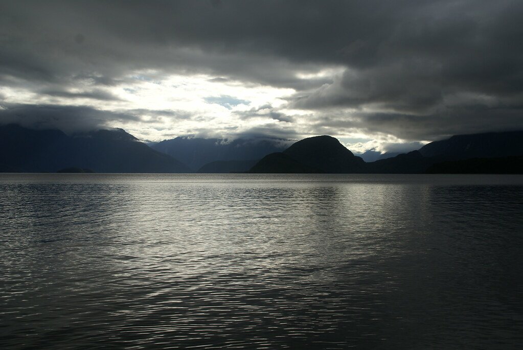
Lake Manapouri
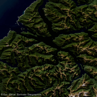
Doubtful Sound / Patea
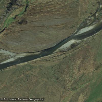
Mararoa River
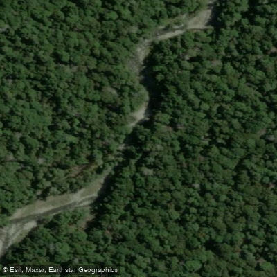
Forest Burn
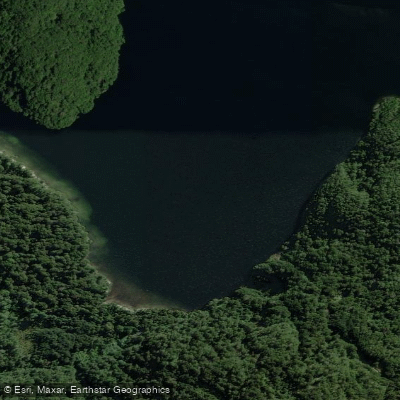
Dinghy Cove
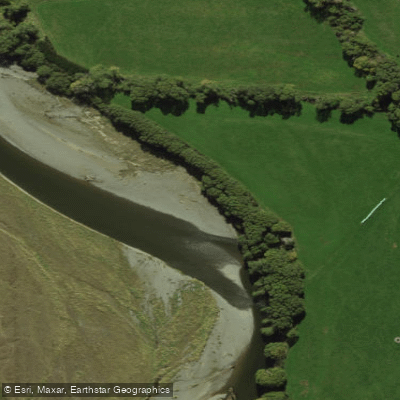
Aparima River
Explore Southland waters
Top fishing waters
No waters available right now.
Popular Cities
Loading popular cities...
Explore near Rakituma / Preservation Inlet

Smarter Fishing Starts in the App.
onWater Fish gives you everything you need to plan smarter, fish better, and own every trip from first cast to last.